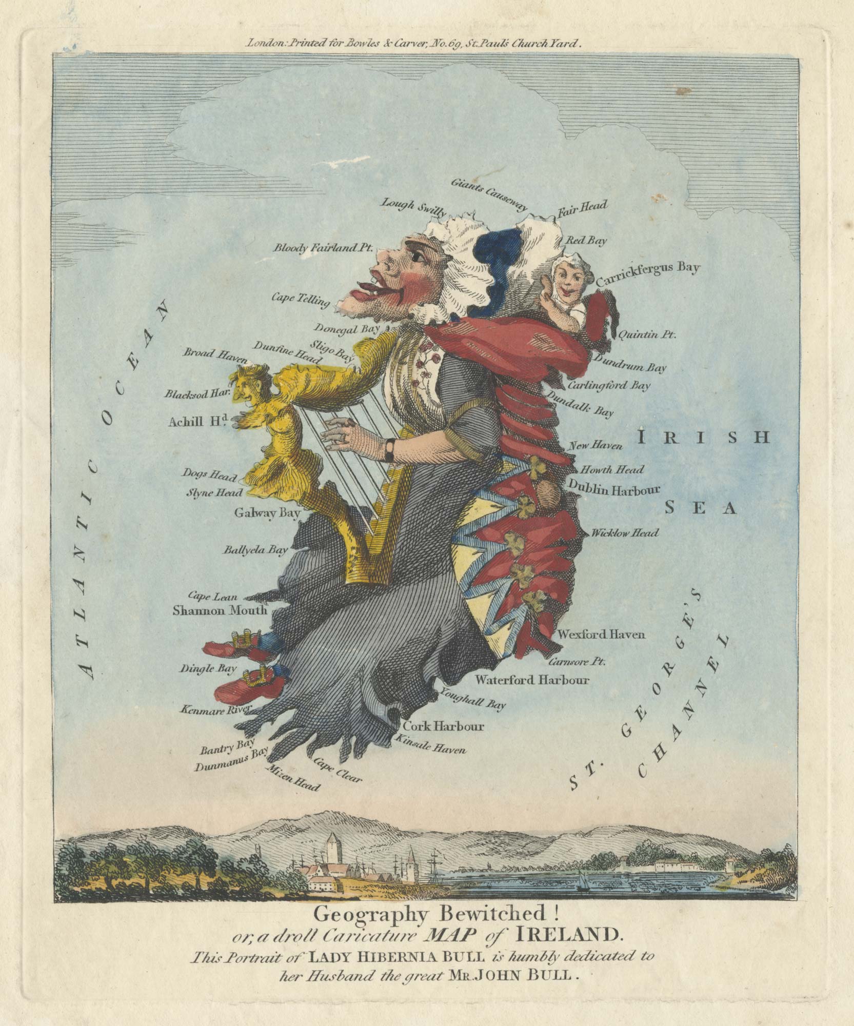
The famous caricature map of England and Wales
Geography Bewitched! or, a droll Caricature Map of England and Wales.
London: Bowles & Carver, c.1793. Coloured engraving, Sheet 205 x 180mm.
£550.00
1 in stock
x
Question About This Item?
The famous caricature map of England and Wales & DIGHTON, Robert.Stock #: 25511
Add to Wishlist
Export as PDFEnquireSimilar to Sell?Add to Wishlist
Description
A separate-issue caricature map, depicting England as a man, bearded and pot-bellied, with a foaming mug of beer in his hand and pipe in his mouth, with Wales his cloak. He sits astride a scaly sea-monster, with the Thames Estuary its mouth and Cornwall its tail. The mapping is rudimentary, with London being the only name not on the coast.
Robert Dighton (1752-1814) specialised in satire and caricatures, including similar maps of Ireland and Scotland. He later opened his own shop in Charing Cross but was caught stealing prints from the British Museum to sell.
Condition:
Trimmed within plate right and bottom, losing publication line, several tiny pinholes.References:
BRITISH MUSEUM SATIRES 8397.Related products
-
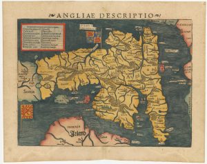
An early woodcut map of England
MUNSTER, Sebastian. Date: 1572Stock #: 24564 £1,000.00 -
A scarce miniature map of England and Wales
ROGIERS, Salomon. Date: 1807Stock #: 22084 £160.00 -
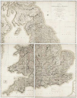
A road map of England and Wales
BOWLES, Carington. Date: 1800Stock #: 24719 £300.00 -
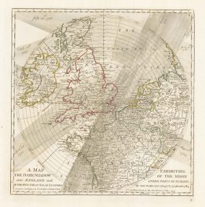
A plan of eclipses over England in the 18th century
DUNN, Samuel. Date: 1797Stock #: 22159 £350.00 -
Georgian wall map of England & Wales
CARY, John. Date: 1820Stock #: 22666 £1,250.00 -
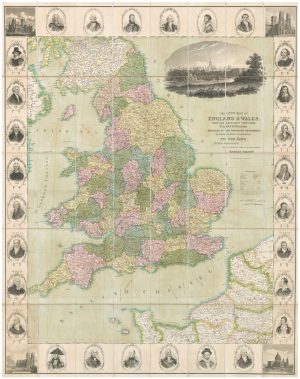
A decorative wall map of England & Wales
SEATON, Robert. Date: 1835Stock #: 10838 £1,500.00 -
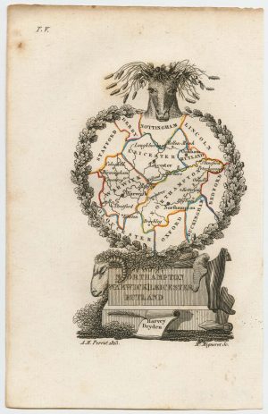
Miniature map of the East Midlands
PERROT, Aristide Michel. Date: 1828Stock #: 23304 £60.00 -
North East England from the first English Edition of the ‘Atlas Minor’
HONDIUS, Jodocus. Date: 1635Stock #: 22447 £110.00 -
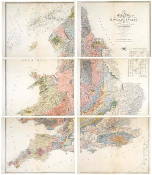
An important geological map of England and Wales on six sheets
GREENOUGH, George Bellas. Date: 1820Stock #: 20885 £25,000.00
Items by the same author
Add to Wishlist
Add to Wishlist