

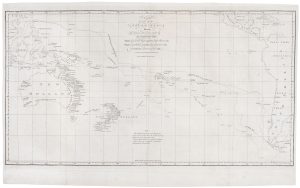
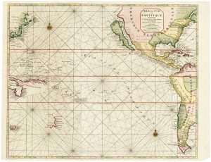
An French sea chart of the Pacific after Dumont D’Urville
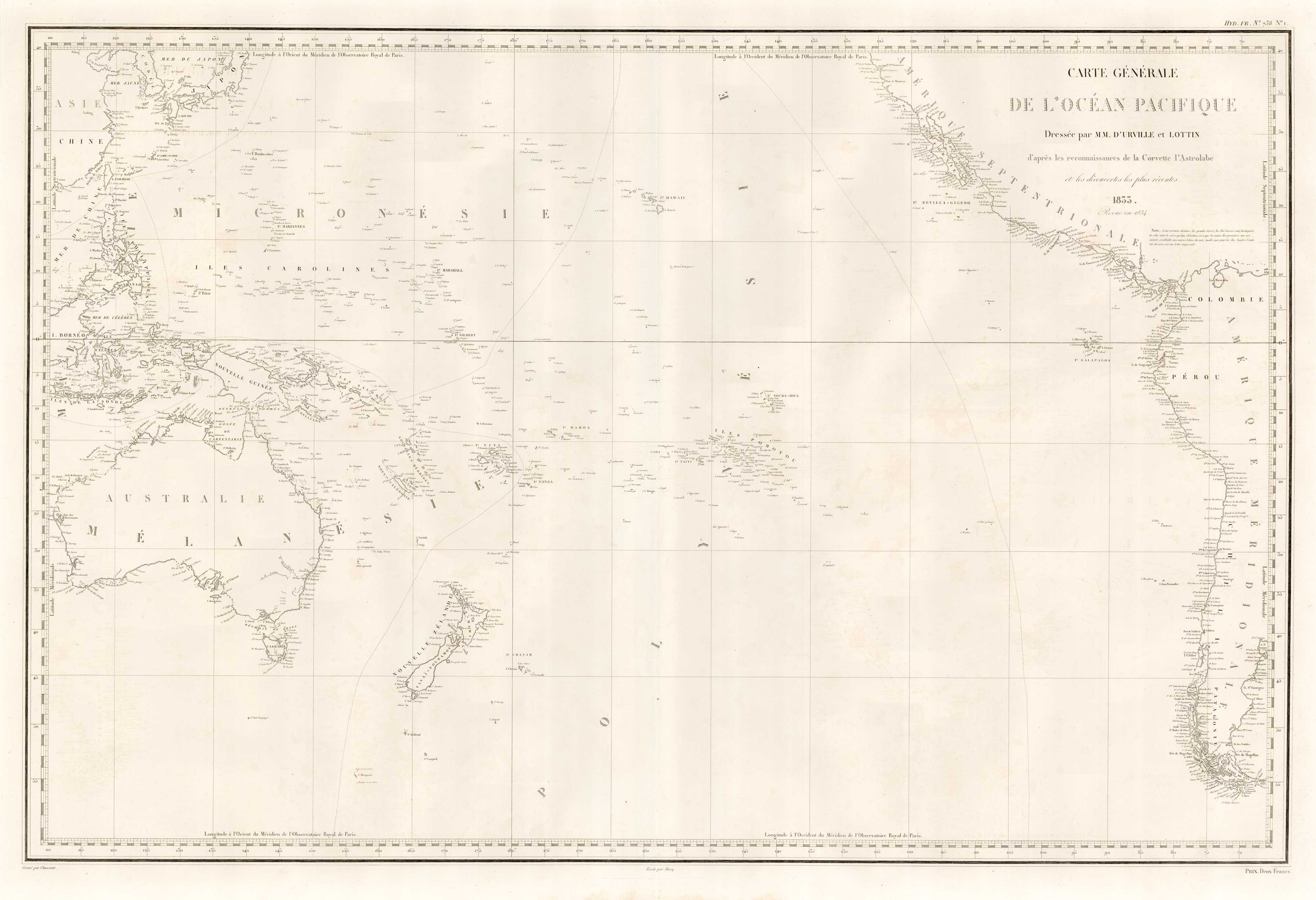
Carte Générale de l'Océan Pacifique Dressée par M.M. d'Urville et Lottin d'apres les reconnaissances de la Corvette Astrolabe et les découvertes les plus récentes. 1833, revue en 1834.
Paris: 1834. 630 x 930mm.
£450.00
1 in stock
x
Question About This Item?
An French sea chart of the Pacific after Dumont D’Urville & Dépôt des Cartes et Plans de la Marine.Stock #: 18866
Add to Wishlist
Export as PDFEnquireSimilar to Sell?Add to Wishlist
Description
A detailed sea-chart of the Pacific Ocean south of Japan, Hawaii and San Francisco, showing the Philippines and Australia east to Cape Horn. It is based on the work of Jules Sébastien César Dumont d'Urville (1790-1842), the French explorer who commanded a scientific expedition 1826-35, and his assistant Victor Charles Lottin (1795-1858).
Condition:
Issued with edged linen on reverse.Related products
-
A detailed 19th century chart of the south west Pacific
VINCENDON-DUMOULIN, Clement Adrien. Date: 1874Stock #: 22088 £1,600.00 -
An early map of Guam
NOORT, Olivier van. Date: 1646Stock #: 25508 £220.00 -
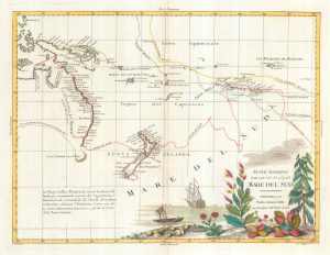
Map of Australia and New Zealand after Cook’s First Voyage to the Pacific
ZATTA, Antonio. Date: 1776Stock #: 24599 £1,000.00 -
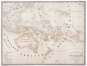
Wall map of Australasia
HOLLE, Leinhart. Date: 1860Stock #: 12843 £600.00 -
Cook’s chart of the South Pacific from his First Voyage
COOK, James. Date: 1773Stock #: 20839 £1,400.00 -
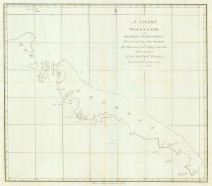
Chart from the return voyage of a ‘First Fleet’ ship
SHORTLAND, Thomas George. Date: 1789Stock #: 21908 £120.00 -
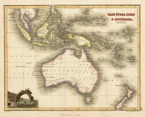
Australia & East India Islands
WYLD, James. Date: 1819Stock #: 22020 £160.00 -
A scarce two-sheet map of the Pacific
MORTIER, Pierre. Date: 1700Stock #: 25056 £3,650.00 -
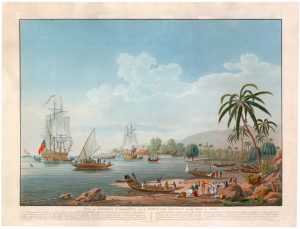
A French edition of Cleveley’s famous view of Matavi Bay, Tahiti
CLEVELEY, James & John. Date: 1790Stock #: 20326 £4,500.00
Items by the same author
Add to Wishlist
Add to Wishlist