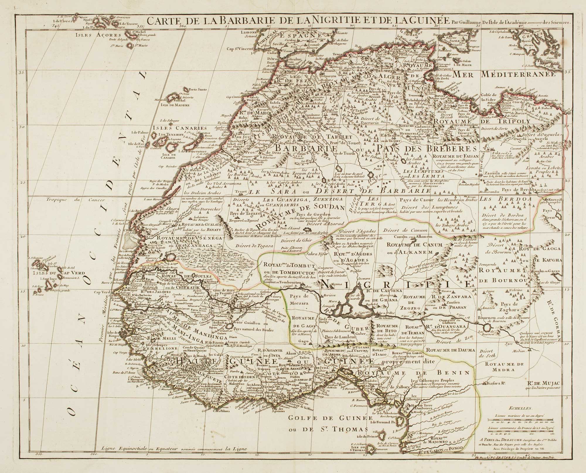


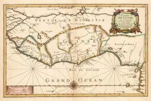
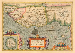
Large map of West Africa published at the end of the 18th century
Carte de la Barbarie de la Nigritie et de La Guinée.
Paris: Dezauche, c.1798. Original outline colour. 500 x 630mm.
£300.00
1 in stock
x
Question About This Item?
Large map of West Africa published at the end of the 18th century & DELISLE, Guillaume.Stock #: 14029
Add to Wishlist
Export as PDFEnquireSimilar to Sell?Add to Wishlist
Description
A French map of West Africa, published in Year VII (1798) of the French Republic, despite having been first issued in 1700. In the 1790s there was much interest in West Africa, with Mungo Park's attempt to follow the Niger with its eastward flow. A century earlier Delisle noted: 'Some believe that the Niger is a branch of the Nile'.
Condition:
A good example.Related products
-
One of the first maps of Freetown
WADSTROM, Carl Bernard. Date: 1795Stock #: 25179 £750.00 -
An uncommon Spanish sea chart of Gabon, the Congo and Angola
BREGANTE, S. Date: 1870Stock #: 18238 £700.00 -
Du Val’s folio map of the slave forts of the Gulf of Guinea
DU VAL, Pierre. Date: 1671Stock #: 23256 £480.00 -
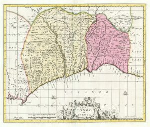
Uncommon map of Congo and Angola
BLAEU, Johannes. Date: 1705Stock #: 20514 £280.00 -
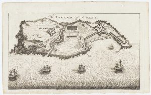
Map of the island of Gorée to illustrate news of the Seven Years’ War
Anonymous. Date: 1759Stock #: 14901 £100.00 -
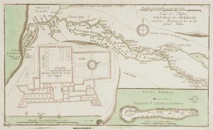
The British attack on the French Colony of St Louis, Senegal
RASPE, Gabriel Nikolaus. Date: 1760Stock #: 12902 £200.00 -
Early 17th century map of the Guinea coast.
HONDIUS, Jodocus. Date: 1636Stock #: 24809 £450.00 -
Housing the Nova Scotian Settlers on Bolama
WADSTROM, Carl Bernard. Date: 1795Stock #: 25182 £400.00 -
The Nova Scotian Settlers on Bolama
WADSTROM, Carl Bernard. Date: 1795Stock #: 25181 £600.00
Items by the same author
Add to Wishlist
Add to Wishlist

Map of the Holy Land and Cyprus for a history of the Crusades
DELISLE, Guillaume. Date: 1780 Stock #: 20578 £750.00
Add to Wishlist
Add to Wishlist
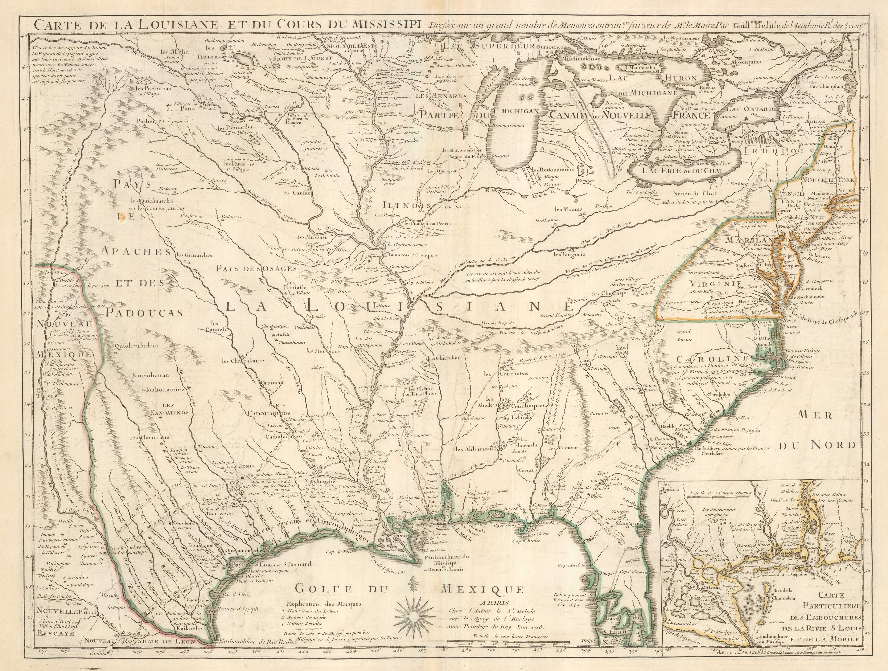
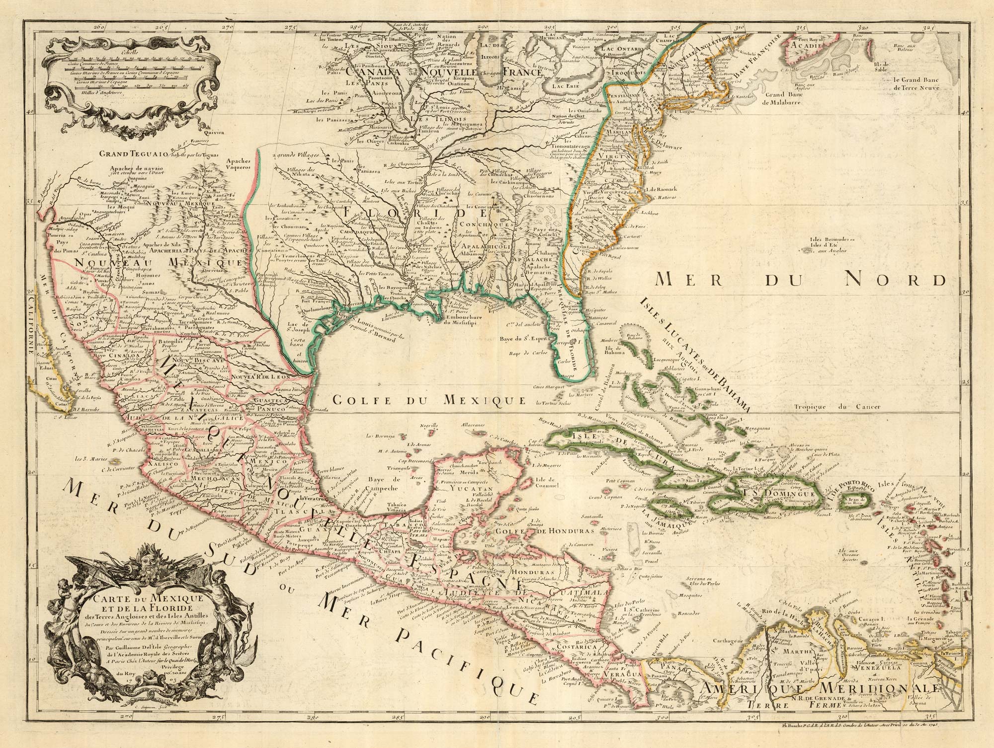
Delisle's influential map of Louisiana.
DELISLE, Guillaume. Date: 1745 Stock #: 25319 £2,500.00
Add to Wishlist
Add to Wishlist
The first printed map to accurately map the Mississippi River
DELISLE, Guillaume. Date: 1745 Stock #: 25238 £850.00
Add to Wishlist
Add to Wishlist
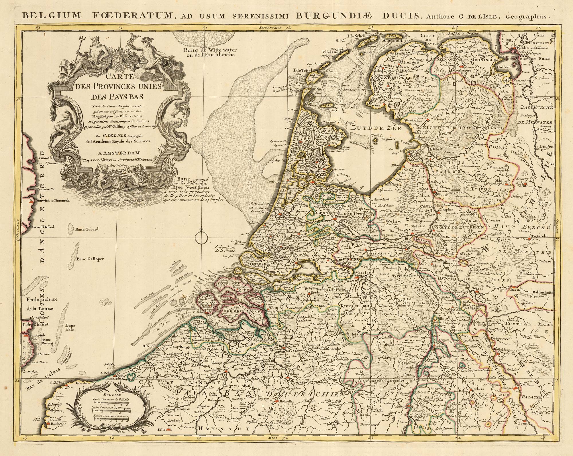
A detailed 18th century map of the Netherlands
DELISLE, Guillaume. Date: 1730 Stock #: 24456 £300.00
Add to Wishlist
Add to Wishlist
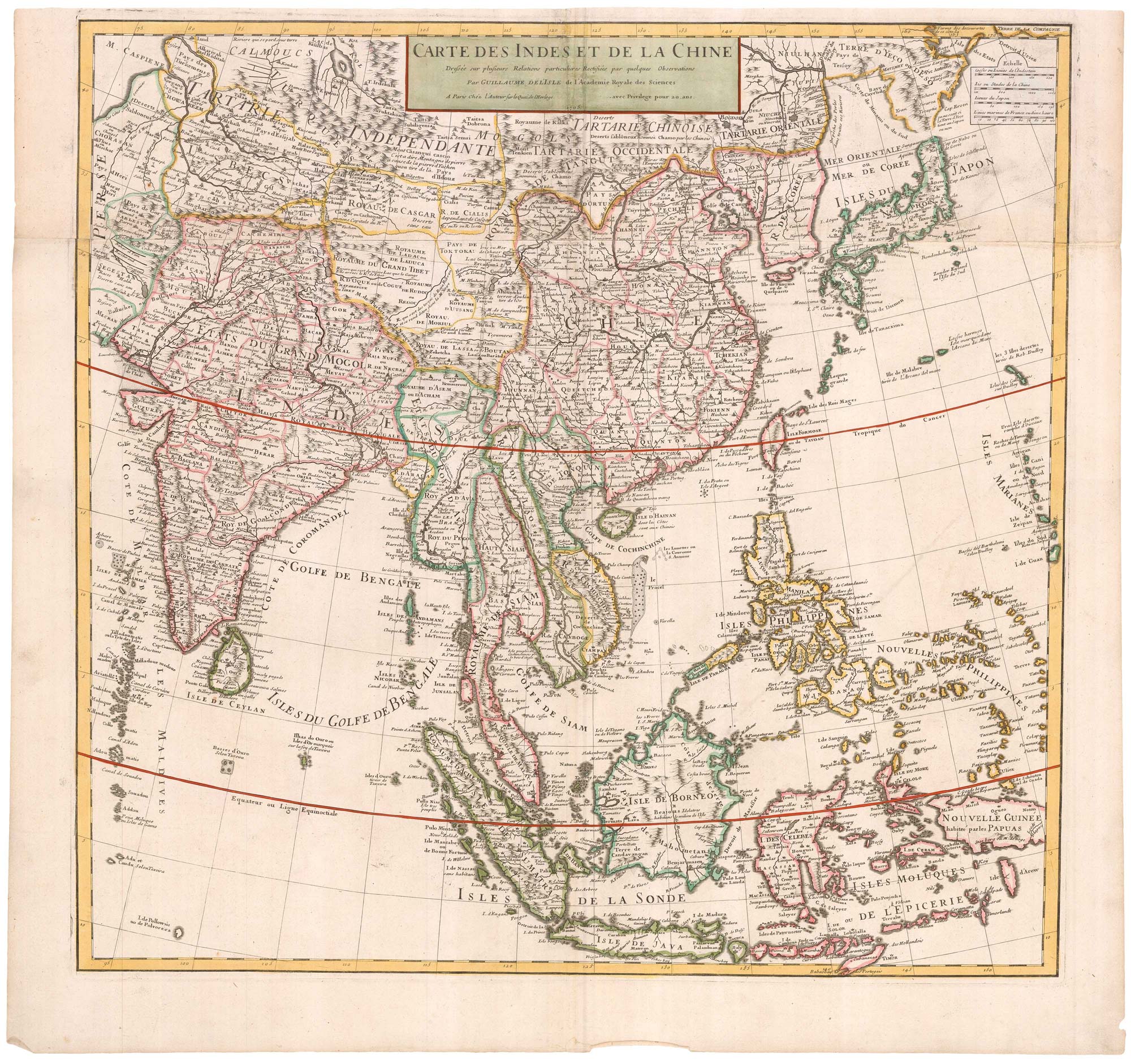
Early 18th century map of the East Indies
DELISLE, Guillaume. Date: 1705 Stock #: 23907 £980.00
Add to Wishlist
Add to Wishlist