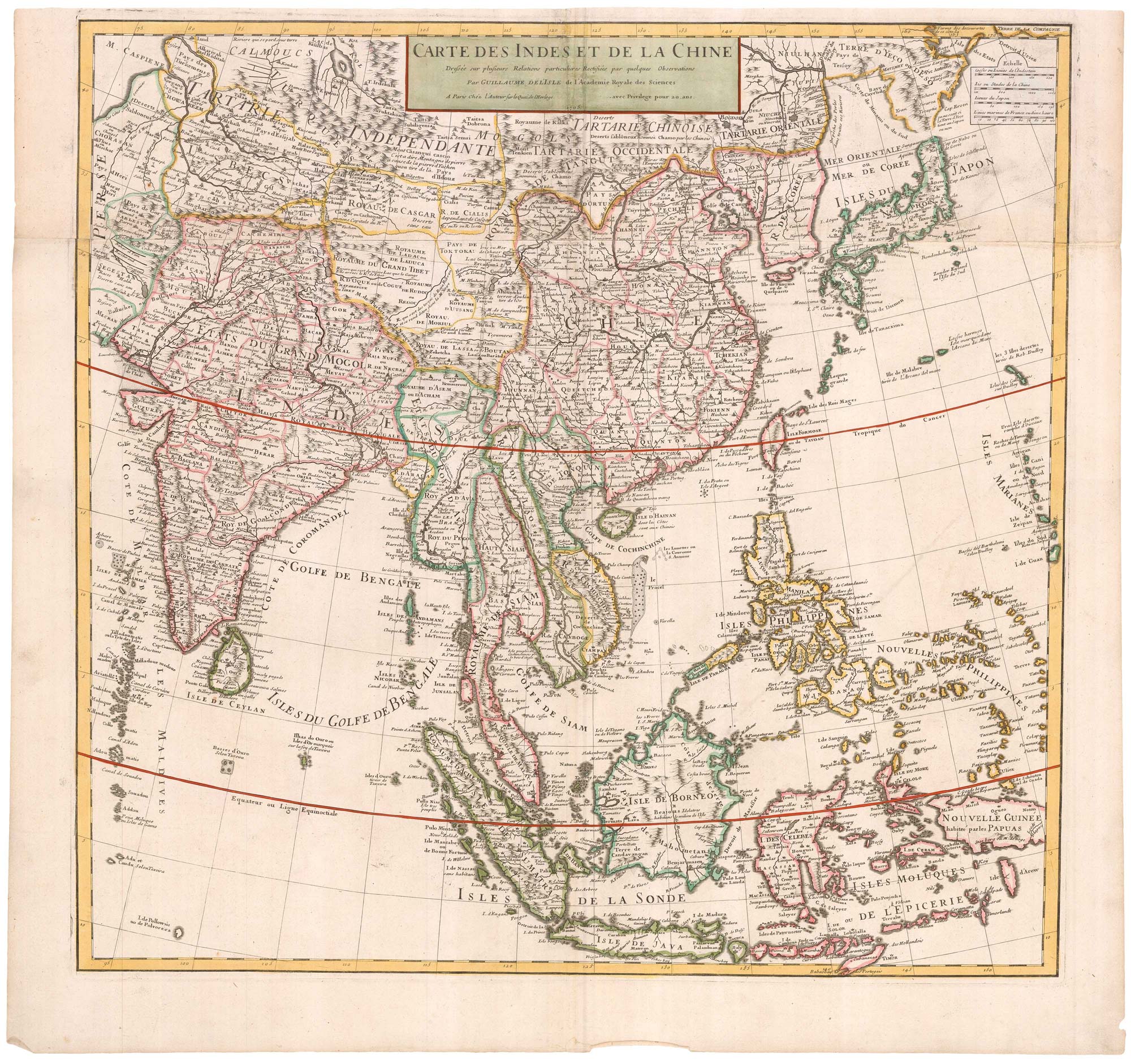


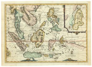
Early 18th century map of the East Indies
Carte des Indes et de la Chine dressée sur plusiers Relations particulieres Rectifées par quelques Observations...
Paris, 1705. Coloured. 630 x 660mm.
£980.00
1 in stock
x
Question About This Item?
Early 18th century map of the East Indies & DELISLE, Guillaume.Stock #: 23907
Add to Wishlist
Export as PDFEnquireSimilar to Sell?Add to Wishlist
Description
A large map of the East Indies, showing from India and the Maldives, east to China, Japan and New Guinea. To the north of Japan 'Eso' is connected to mainland Asia.
This is an example of the second state, with 'Quai de l'Horloge' address.
Condition:
Original folds flattened.Related products
-
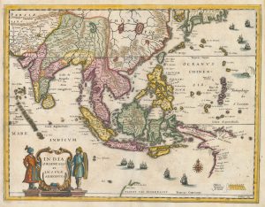
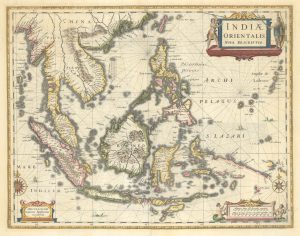
A mid-17th century map of the Far East
MERIAN, Matthaus. Date: 1650Stock #: 22920 £700.00 -
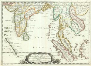
17th century map of the East Indies
SANSON, Nicolas. Date: 1658Stock #: 19813 £650.00 -
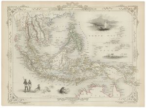
A mid-19th century map of the East Indies with decorative vignettes
TALLIS, John. Date: 1851Stock #: 21611 £240.00 -
Rare map of the interests of the V.O.C. in the East Indies
RENNEVILLE, René Auguste Constantin. Date: 1725Stock #: 22933 £1,650.00 -
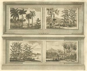
Illustrations of the flora and fauna of the East-Indies
AA, Pieter van der. Date: 1725Stock #: 20089 £200.00 -
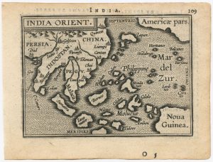
17th century miniature map of the East Indies
CLUVER, Philip. Date: 1659Stock #: 18843 £650.00 -
A 16th century miniature map of South East Asia
ORTELIUS, Abraham. Date: 1593Stock #: 24460 £350.00 -
The East Indies with early evidence of the Dutch discovery of Australia
JANSSON, Jan. Date: 1807Stock #: 25082 £1,700.00 -
The scarce second Galle plate for the Far East used in the ‘Epitome’
ORTELIUS, Abraham. Date: 1598Stock #: 23197 £450.00
Items by the same author
Add to Wishlist
Add to Wishlist

Map of the Holy Land and Cyprus for a history of the Crusades
DELISLE, Guillaume. Date: 1780 Stock #: 20578 £750.00
Add to Wishlist
Add to Wishlist
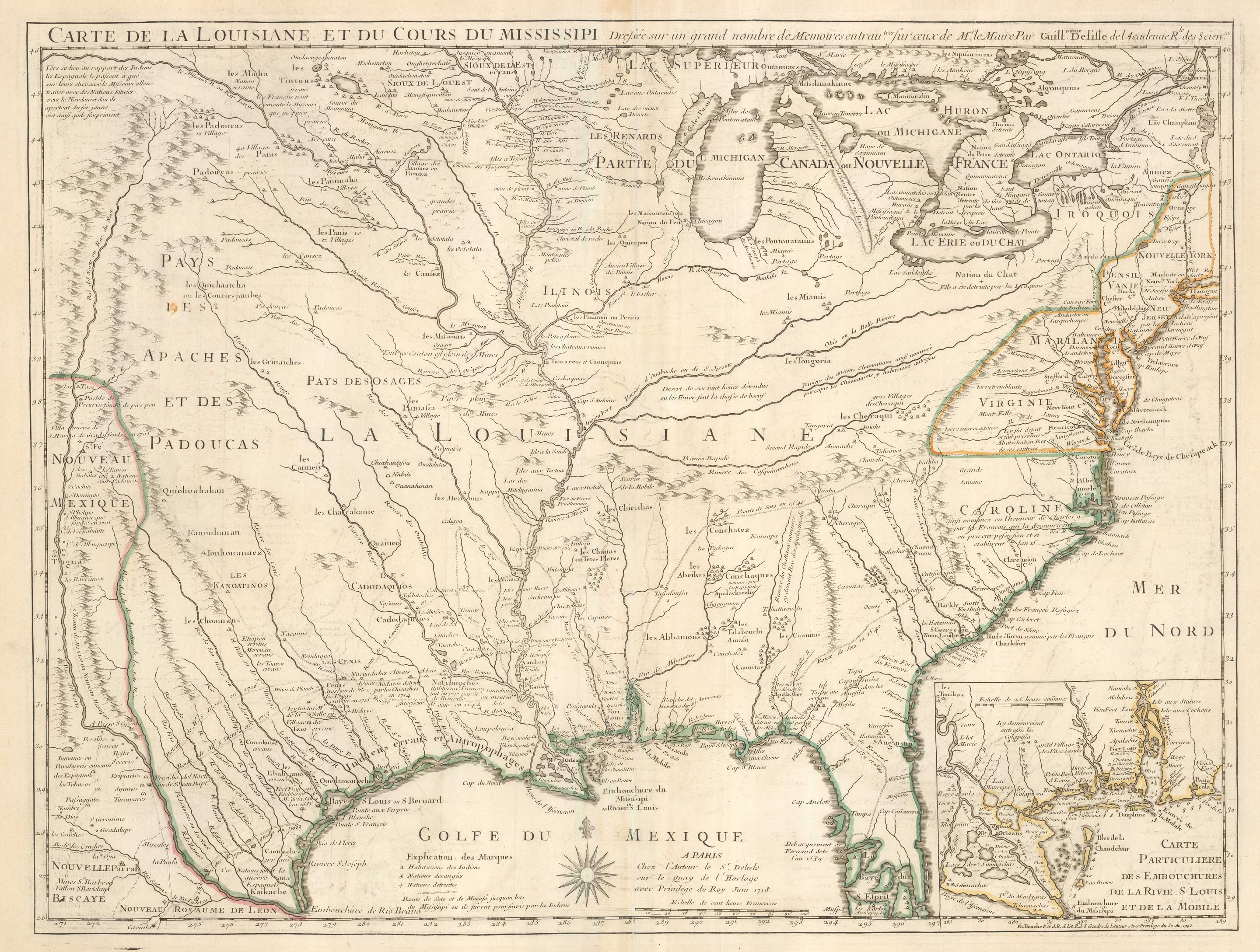
Delisle's influential map of Louisiana.
DELISLE, Guillaume. Date: 1745 Stock #: 25319 £2,500.00
Add to Wishlist
Add to Wishlist
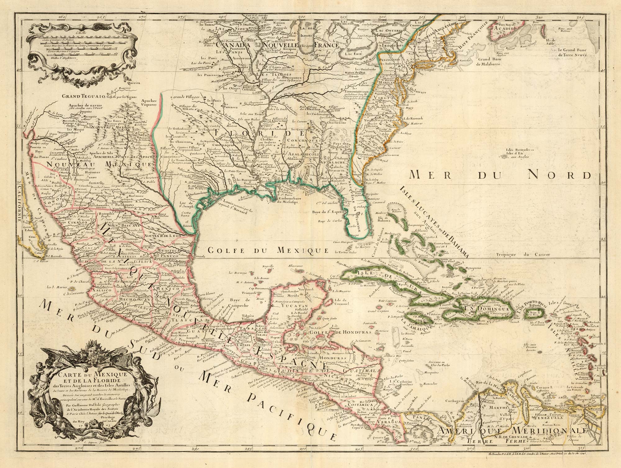
The first printed map to accurately map the Mississippi River
DELISLE, Guillaume. Date: 1745 Stock #: 25238 £850.00
Add to Wishlist
Add to Wishlist
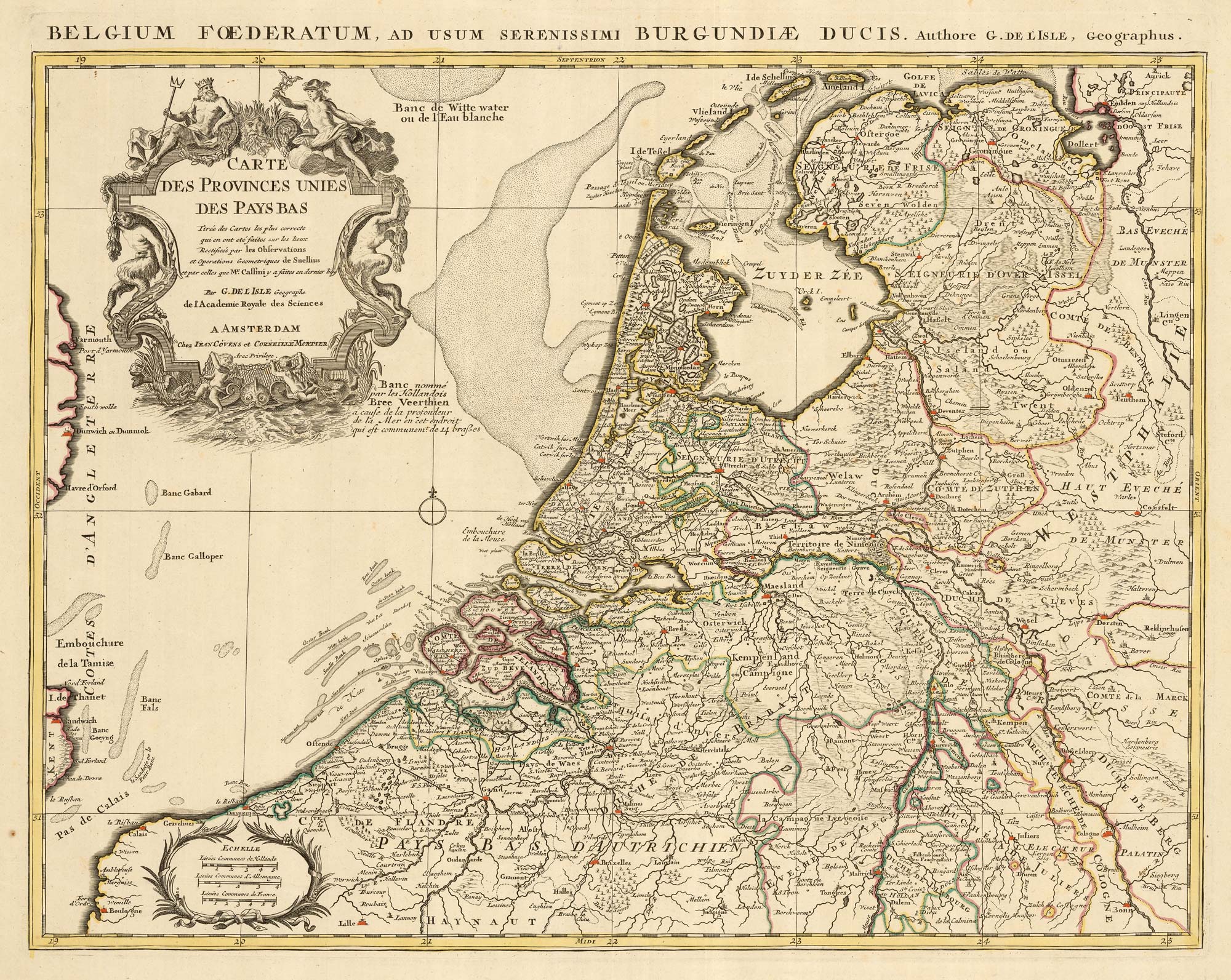
A detailed 18th century map of the Netherlands
DELISLE, Guillaume. Date: 1730 Stock #: 24456 £300.00
Add to Wishlist
Add to Wishlist
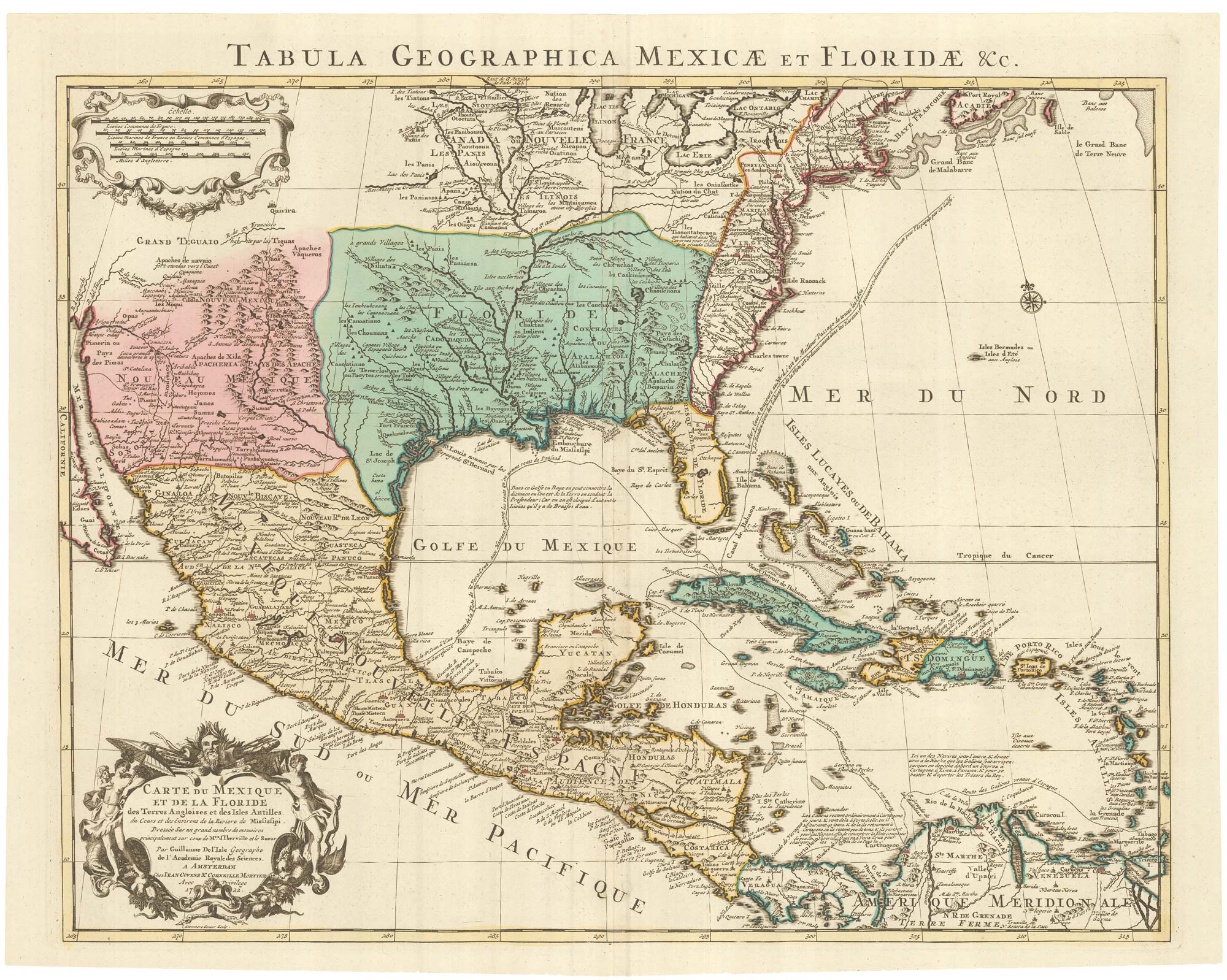
A Dutch edition of the first printed map to accurately plot the Mississippi River
DELISLE, Guillaume. Date: 1722 Stock #: 23463 £1,700.00
Add to Wishlist
Add to Wishlist
