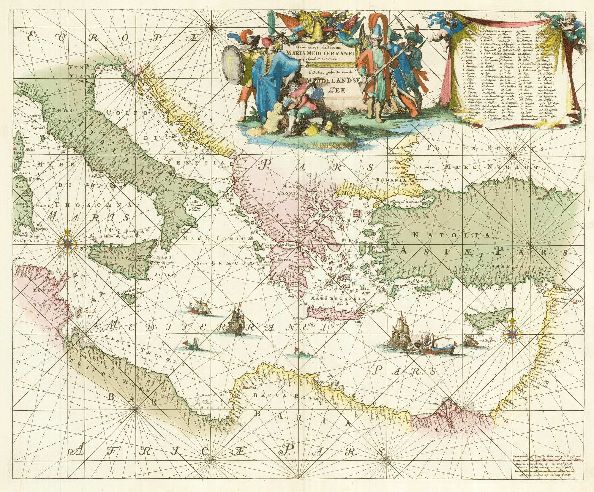


A 17th century chart of the eastern Mediterranean in fine colour.
Orientalior districtus Maris Mediterranei. t'Ooster gedeelte van de Middelandse Zee.
Amsterdam: R. & J. Ottens, c.1745. Original colour. 470 x 580mm.
£1,600.00
1 in stock
x
Question About This Item?
A 17th century chart of the eastern Mediterranean in fine colour. & DE WIT, Frederick.Stock #: 24490
Add to Wishlist
Export as PDFEnquireSimilar to Sell?Add to Wishlist
Description
De Wit's fine sea chart of the Eastern Mediterranean, showing from the east coasts of Corsica and Sardinia to Cyprus and the Holy Land.
This example was issued by the Ottens brothers' edition of Louis Renard's j 'Atlas van Zeevaart'. The superb title cartouches represent the struggle between the West and the Turks for control of the sea, and the vignette ships include a battle between a galleon and a galley. A very fine example
Condition:
A good example.References:
KOEMAN: Ren 3.Related products
-
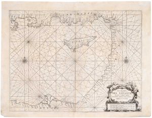
A 17th century sea chart of the Eastern Mediterranean Sea
LEVANTO, Francesco Maria. Date: 1696Stock #: 19694 £1,200.00 -
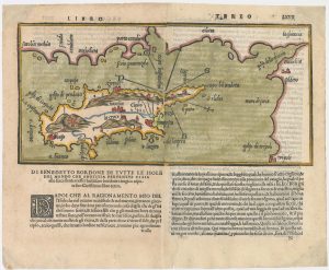
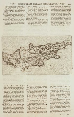
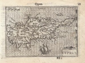
The second printed map of Cyprus
BORDONE, Benedetto. Date: 1565Stock #: 23466 £3,600.00 -
Lasor a Varea’s issue of Franco’s map of Cyprus
FRANCO, Giacomo. Date: 1713Stock #: 15862 £650.00 -
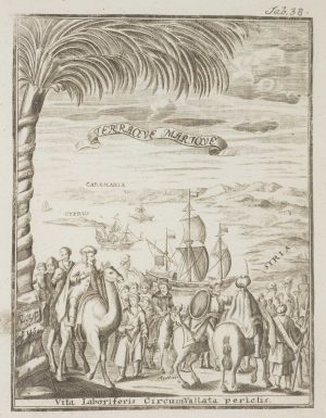
Frontispiece from ‘Peregrinus in Jerusalem’
MYLLER, Angelicus Maria. Date: 1735Stock #: 17187 £160.00 -
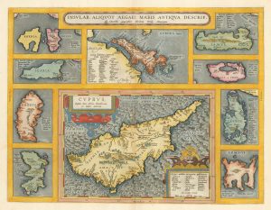
16th century map of Cyprus & the islands of the Aegean
ORTELIUS, Abraham. Date: 1595Stock #: 19478 £1,250.00 -
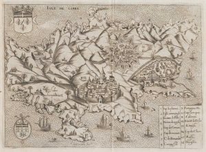
The Knights Hospitallers on Cyprus
NABERAT, Anne de. Date: 1629Stock #: 20123 £2,600.00 -
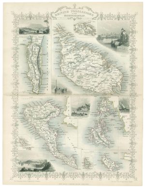
Mid 19th map of British possessions in the Mediterranean
TALLIS, John. Date: 1851Stock #: 17748 £170.00 -
A 16th century miniature map of Cyprus
LANGENES, Barent. Date: 1599Stock #: 21327 £550.00 -
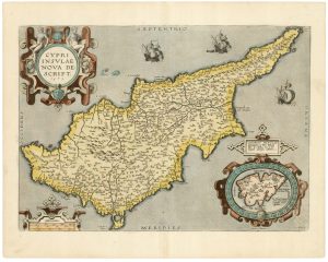
A classic 16th century Dutch map of Cyprus
ORTELIUS, Abraham. Date: 1595Stock #: 23815 £1,600.00
Items by the same author
Add to Wishlist
Add to Wishlist
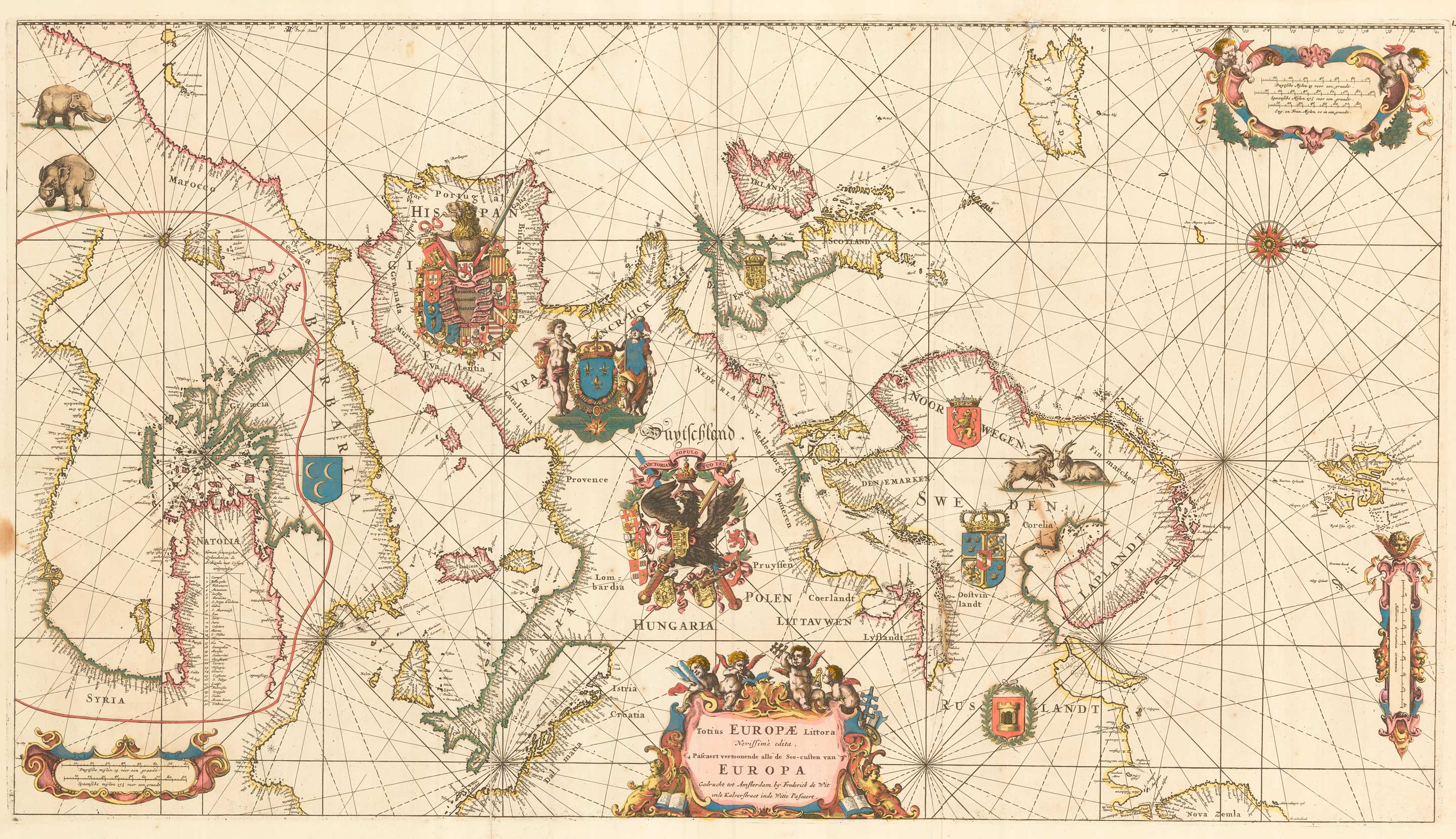
An exceptional 17th century sea chart of Europe
DE WIT, Frederick. Date: 1675 Stock #: 23450 £7,500.00
Add to Wishlist
Add to Wishlist

A 17th century map of the Middle East & Arabia
DE WIT, Frederick. Date: 1666 Stock #: 25256 £950.00
Add to Wishlist
Add to Wishlist

17th century map of the Holy Land
DE WIT, Frederick. Date: 1680 Stock #: 25259 £680.00
Add to Wishlist
Add to Wishlist
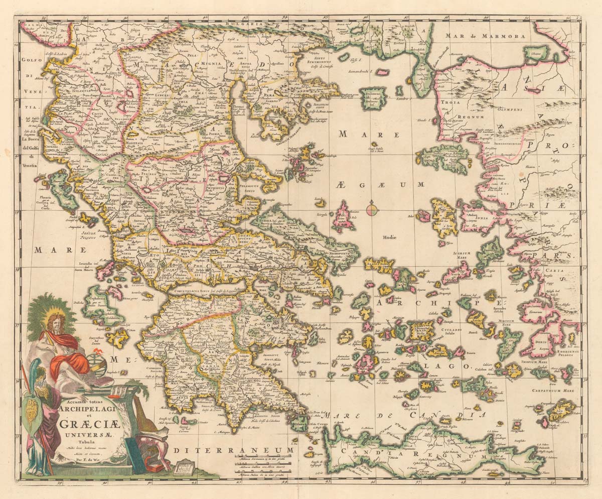
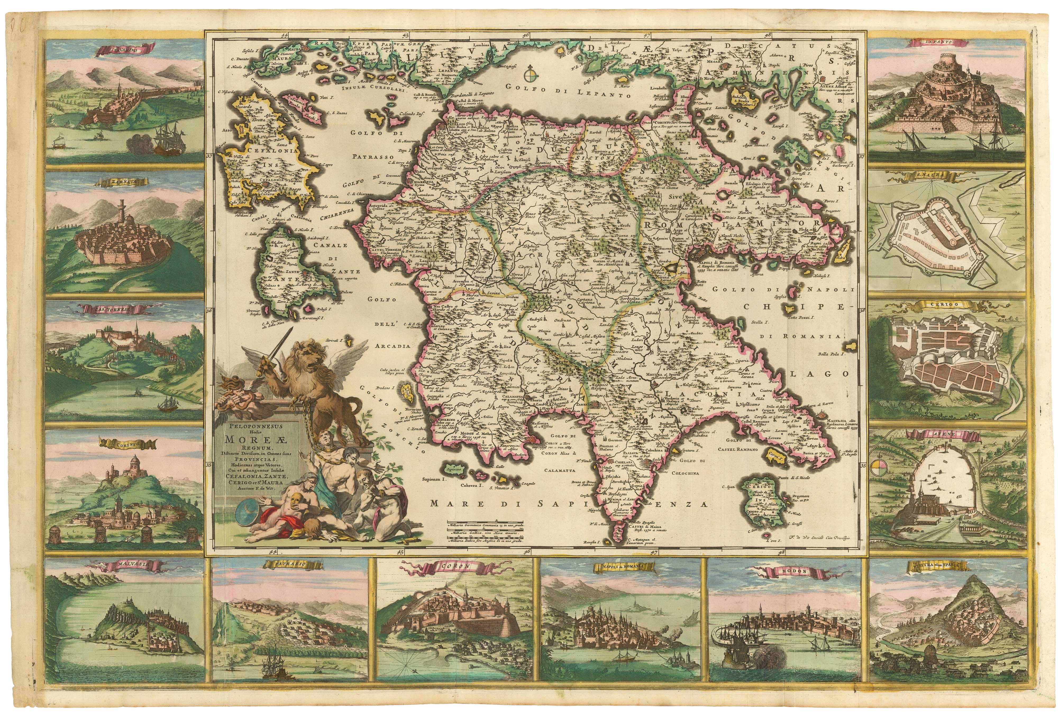
A late 17th century map of Greece in fine colour
DE WIT, Frederick. Date: 1680 Stock #: 20417 £750.00
Add to Wishlist
Add to Wishlist
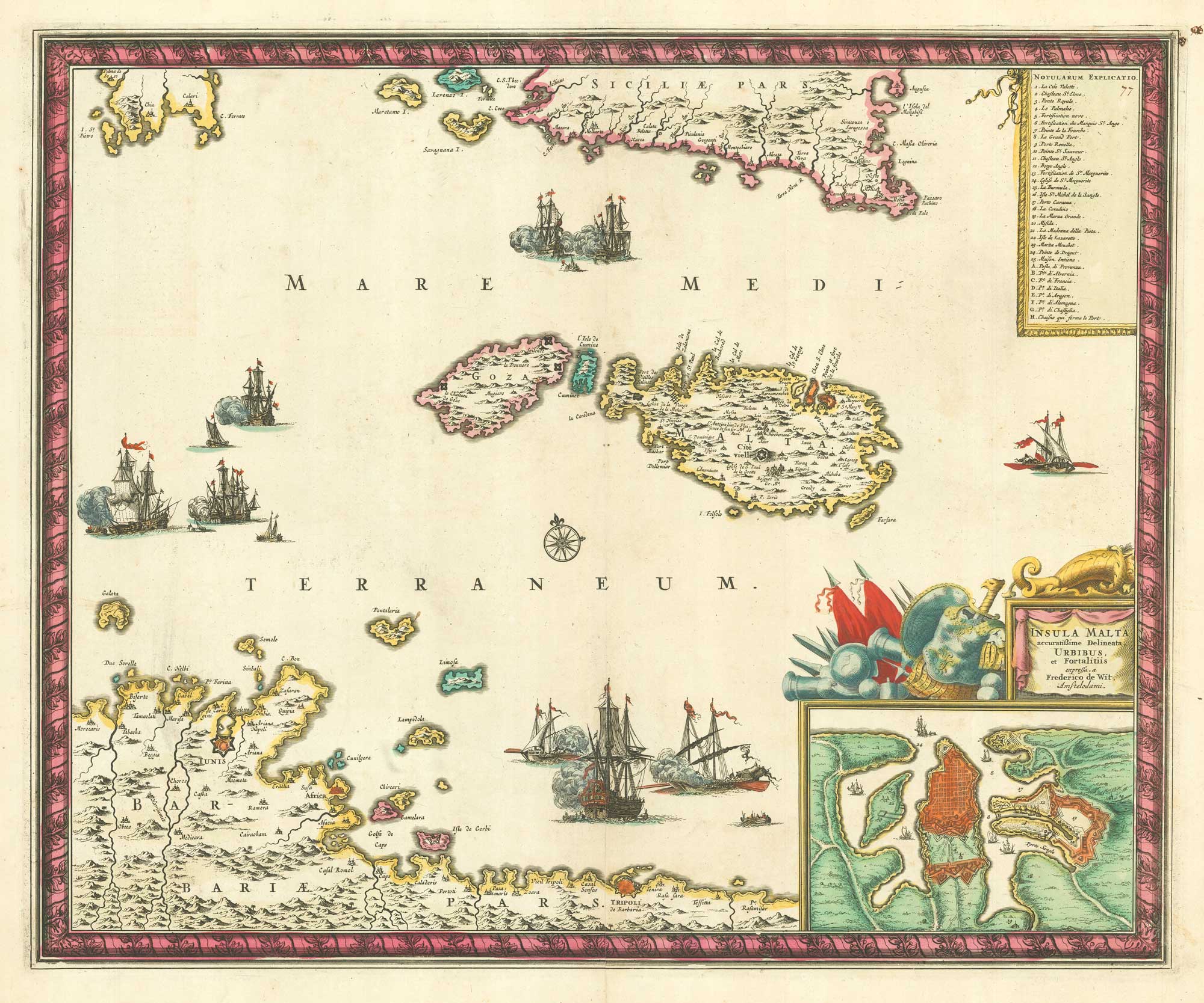
17th century map of Malta
DE WIT, Frederick. Date: 1680 Stock #: 19494 £1,600.00
Add to Wishlist
Add to Wishlist