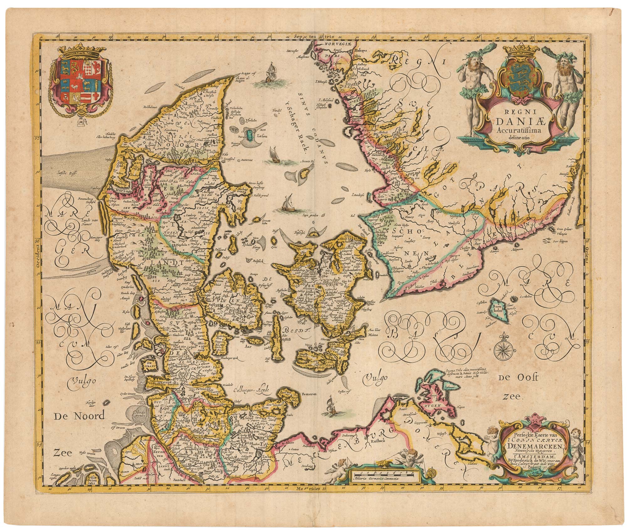


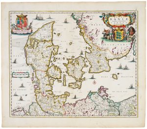
A separately-issued map of Denmark, the earliest dated map by de Wit
Regni Daniae Accuratissima delineatio. Perfeckte Kaerte van 't Conjnckryck Denemarcken. Niewwelycks Wtgegeven. 1659.
Amsterdam, 1659. Original colour. 450 x 550mm.
£750.00
1 in stock
x
Question About This Item?
A separately-issued map of Denmark, the earliest dated map by de Wit & DE WIT, Frederick.Stock #: 23255
Add to Wishlist
Export as PDFEnquireSimilar to Sell?Add to Wishlist
Description
A very scarce map of Denmark, with decorative cartouches for the two titles and scale, and the Danish Royal Arms.
This map, the earliest map by De Wit to bear a date, was published a decade before the first atlas by him listed by Koeman, by which time this map had been replaced.
Condition:
Split in upper centre fold margin.Related products
-
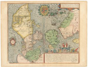
A superb 16th century map of Denmark
JORDAN, Mark. Date: 1588Stock #: 23838 £2,000.00 -
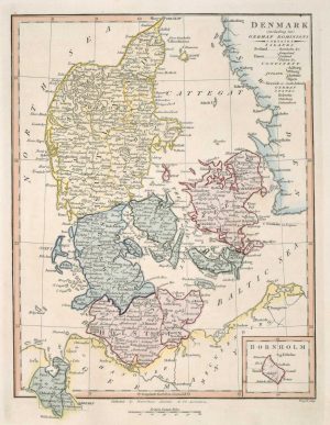
Map of Denmark
WILKINSON, Robert. Date: 1828Stock #: 17580 £50.00 -
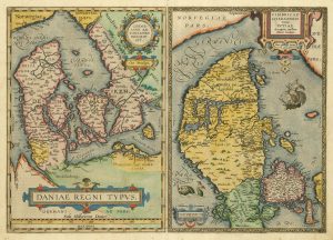
The third Ortelius map of Denmark
ORTELIUS, Abraham. Date: 1574Stock #: 25269 £600.00 -
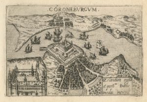
A 16th century town plan of Helsingor
VALEGIO, Francesco. Date: 1598Stock #: 24200 £160.00 -
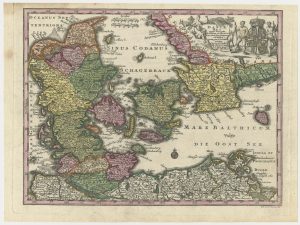
An 18th century map of Denmark
SEUTTER, Matthaus. Date: 1730Stock #: 24692 £200.00 -
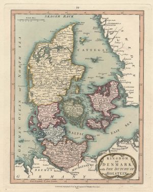
An early 19th century map of Denmark in fine colour
LAURIE & WHITTLE. Date: 1801Stock #: 22819 £160.00 -
17th century map of Denmark
VISSCHER, Nicolas Jansz. Date: 1670Stock #: 20730 £475.00 -
17th century French map of Denmark
DU VAL, Pierre. Date: 1686Stock #: 11443 £200.00 -
A two-sheet map of Denmark
JAILLOT, Alexis-Hubert. Date: 1700Stock #: 8323 £450.00
Items by the same author
Add to Wishlist
Add to Wishlist
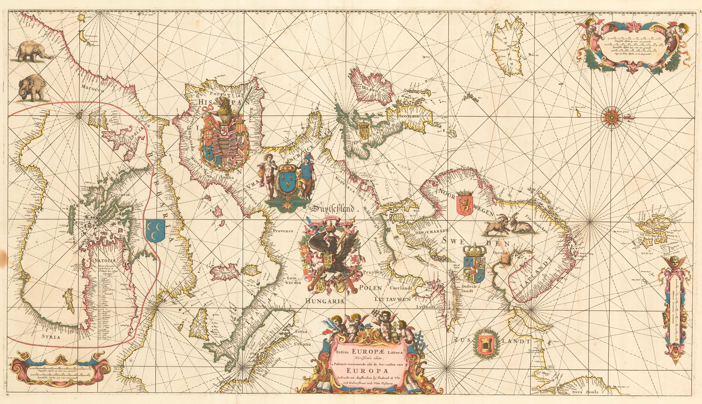
An exceptional 17th century sea chart of Europe
DE WIT, Frederick. Date: 1675 Stock #: 23450 £7,500.00
Add to Wishlist
Add to Wishlist

A 17th century map of the Middle East & Arabia
DE WIT, Frederick. Date: 1666 Stock #: 25256 £950.00
Add to Wishlist
Add to Wishlist

17th century map of the Holy Land
DE WIT, Frederick. Date: 1680 Stock #: 25259 £680.00
Add to Wishlist
Add to Wishlist
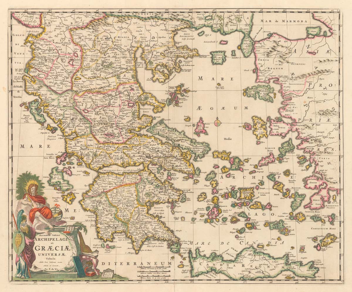
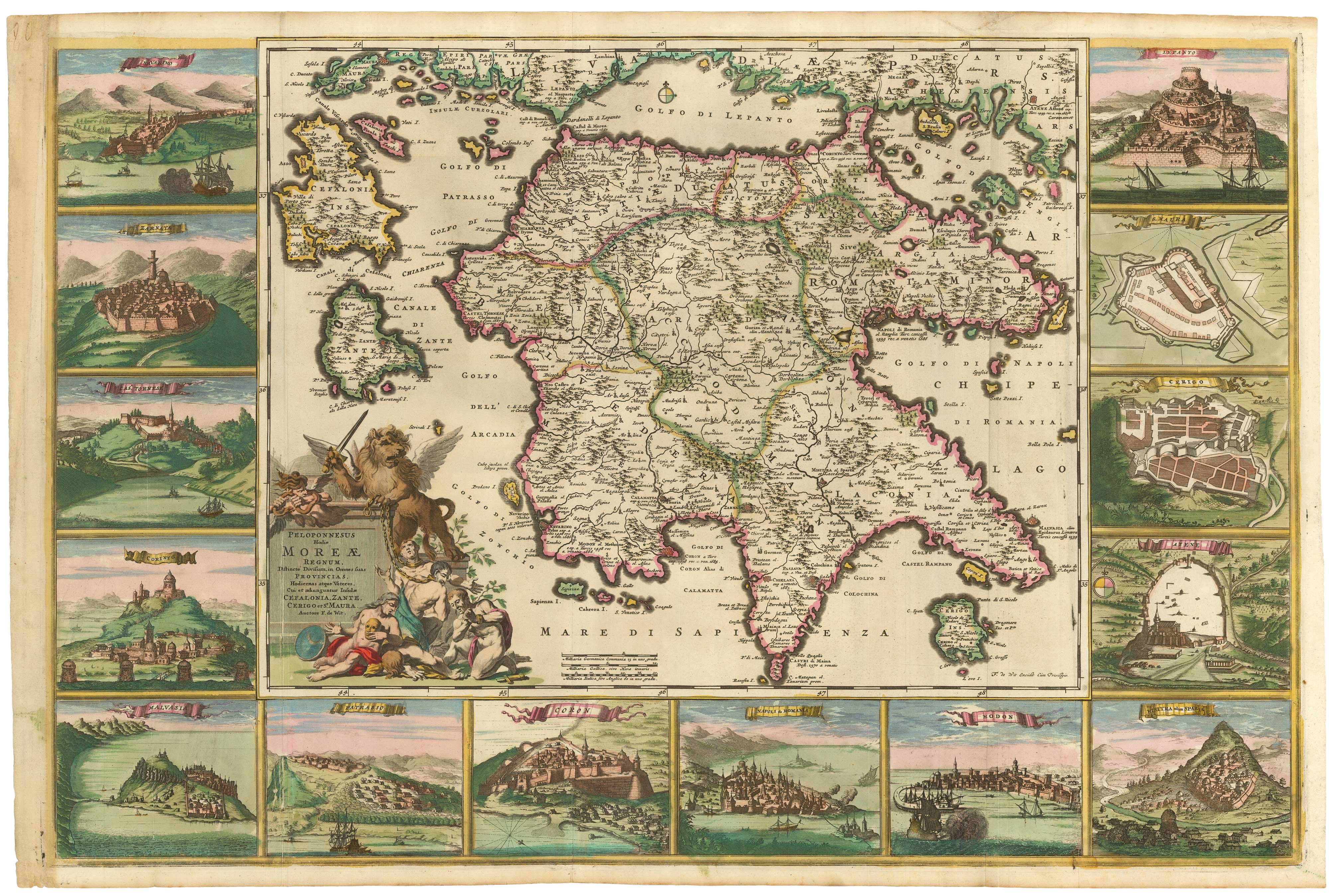
A late 17th century map of Greece in fine colour
DE WIT, Frederick. Date: 1680 Stock #: 20417 £750.00
Add to Wishlist
Add to Wishlist
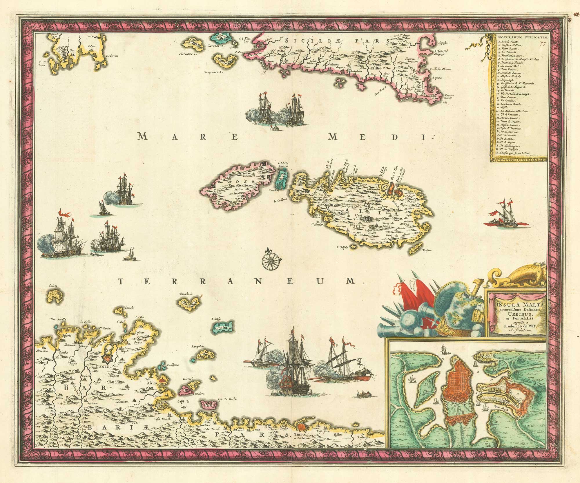
17th century map of Malta
DE WIT, Frederick. Date: 1680 Stock #: 19494 £1,600.00
Add to Wishlist
Add to Wishlist