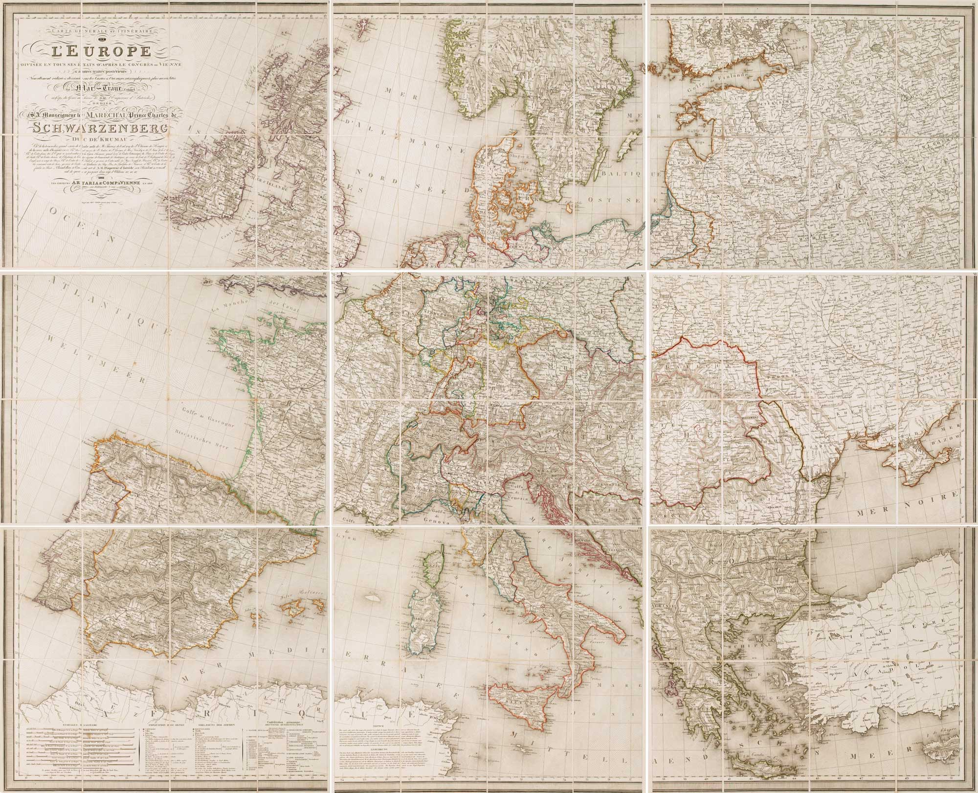


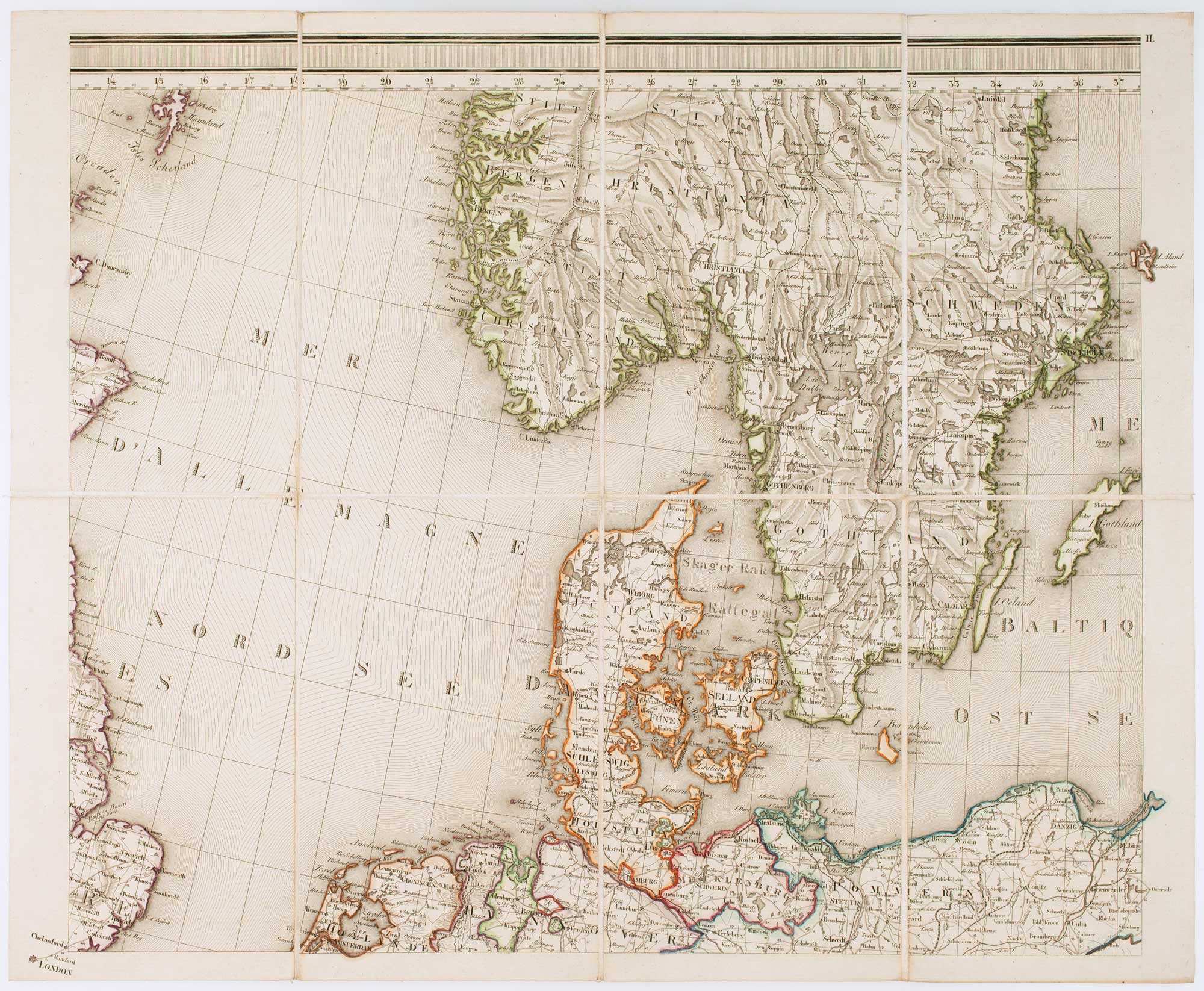
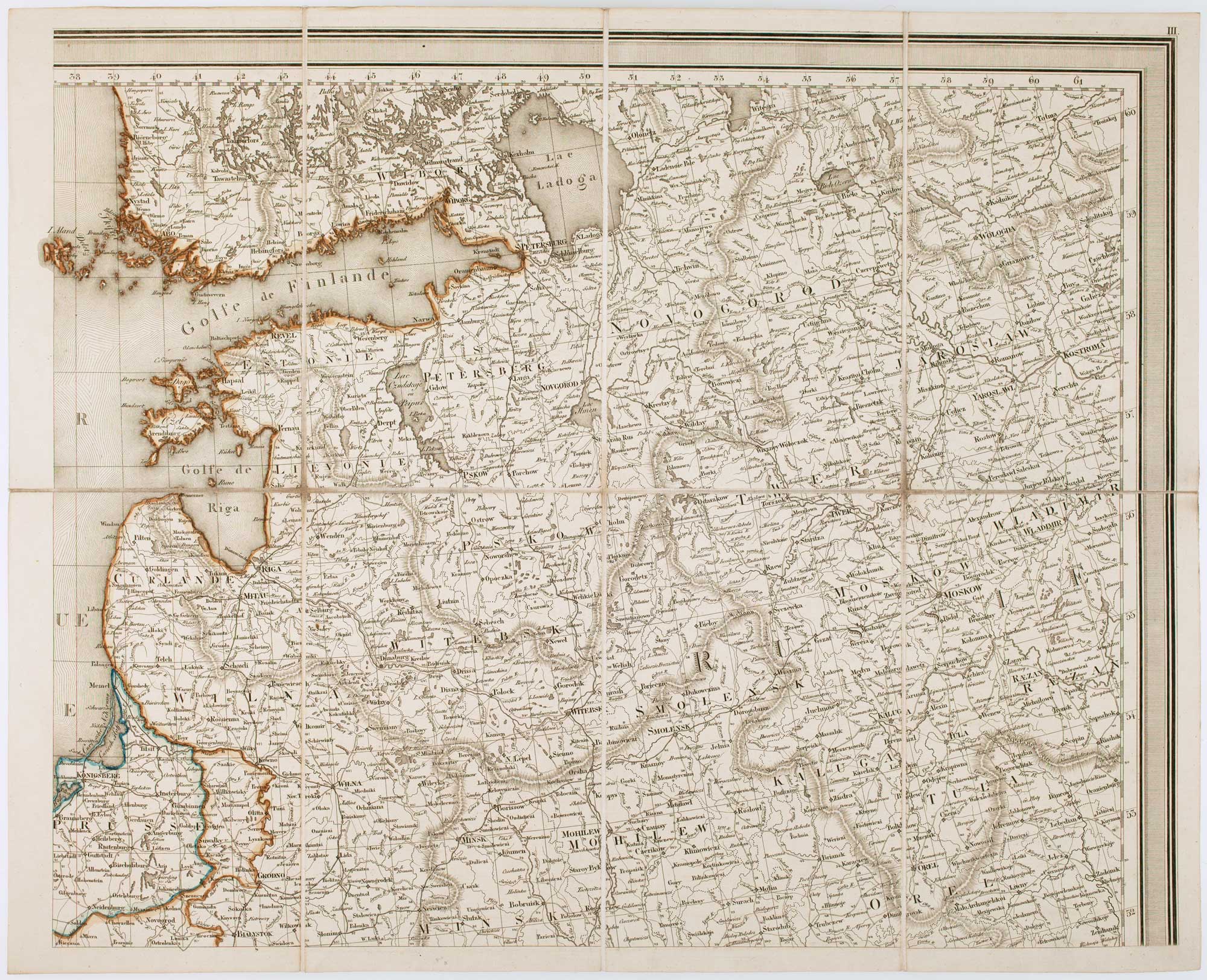

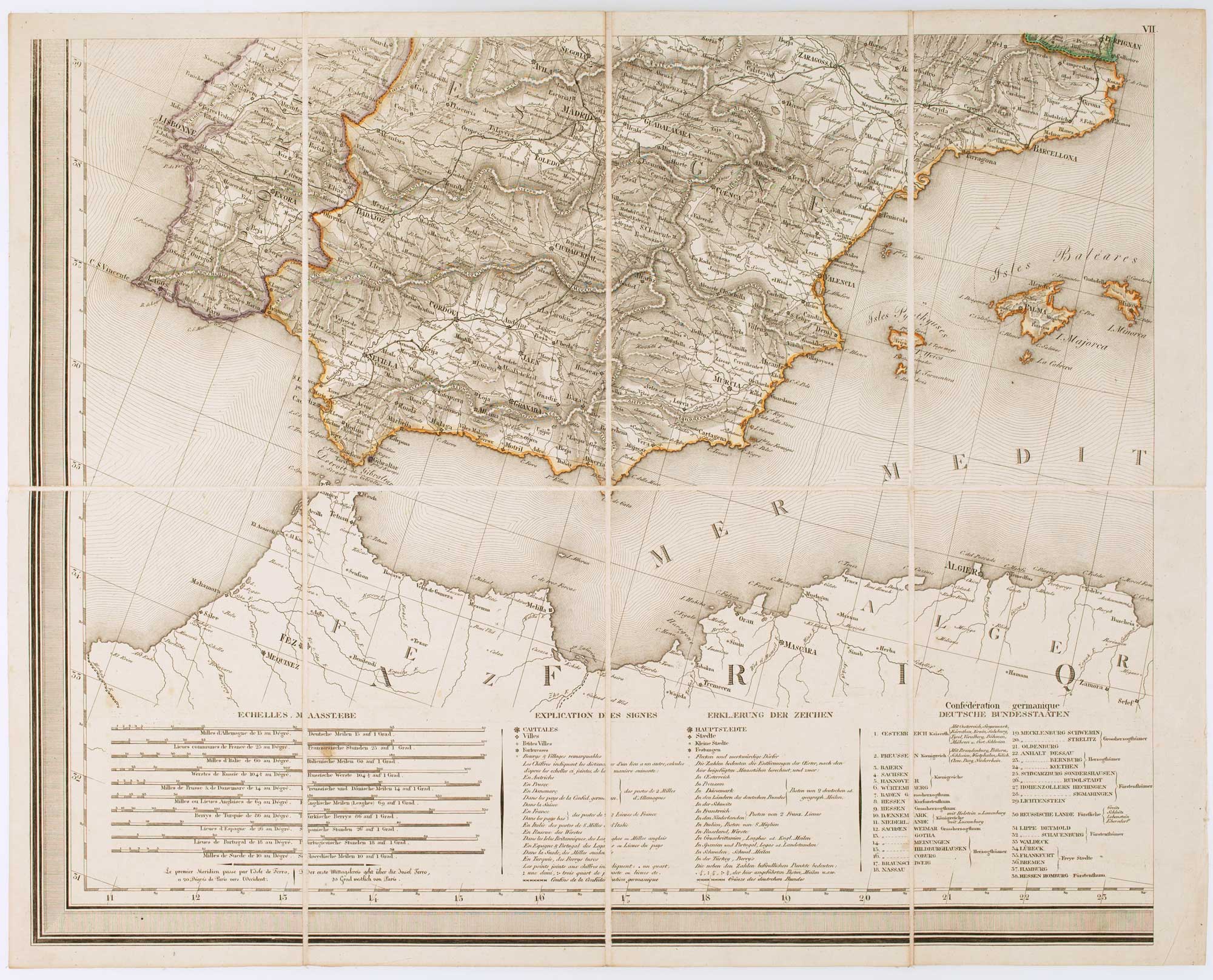

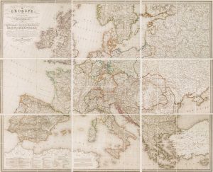
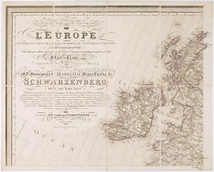
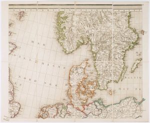
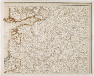
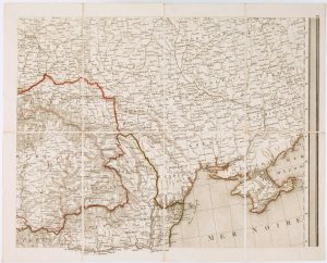

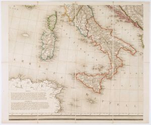
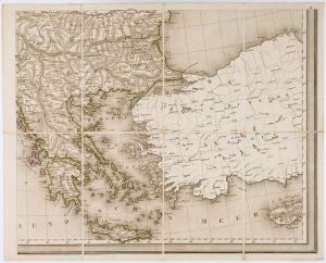
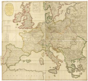
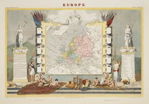
A wall map of Europe according to the Congress of Vienna
Carte Générale et Itinéraire de L'Europe Divisée en Tous les États d'après le Congrèss sw Vienne & autres traités postérieurs.
Vienna: Artaria & Comp., 1818. Original colour. Dissected and laid on linen in nine sections as issued, total if joined 1400 x 1740mm.
£1,400.00
1 in stock
x
Question About This Item?
A wall map of Europe according to the Congress of Vienna & TRAUX, Maximilian de.Stock #: 17177
Add to Wishlist
Export as PDFEnquireSimilar to Sell?Add to Wishlist
Description
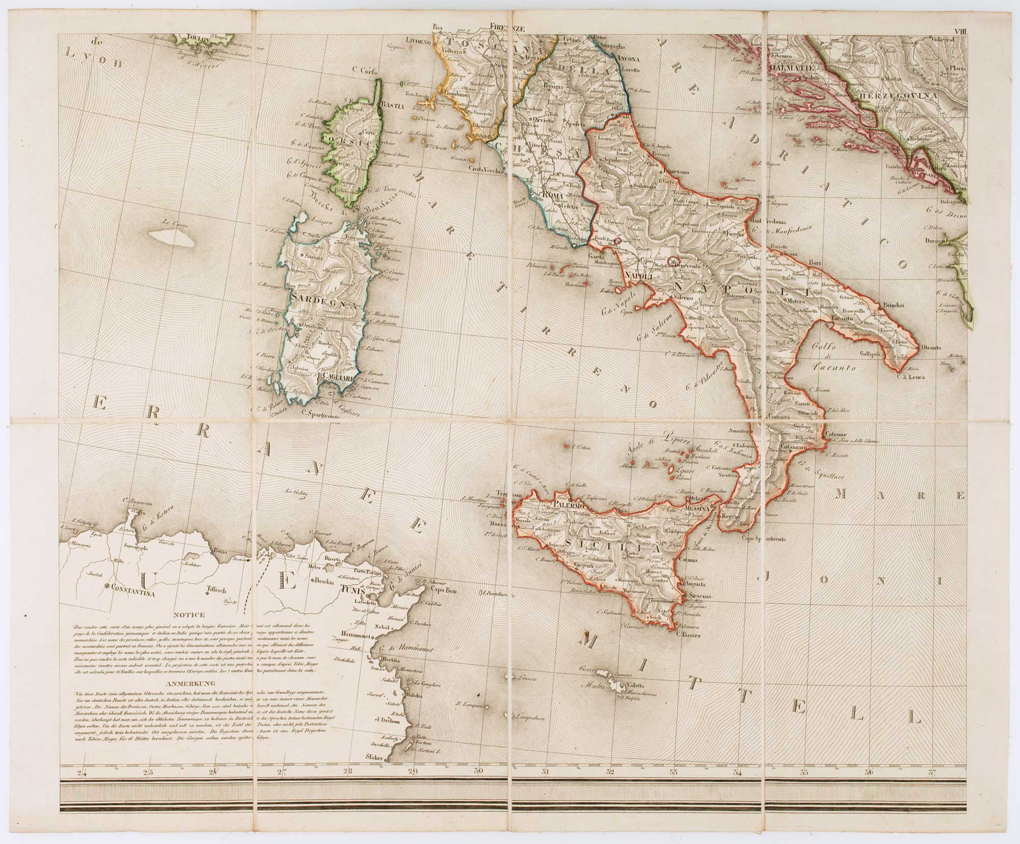
A large and detailed wall map, depicting the boundaries of Europe as settled by the Congress of Vienna (1814-5), settling the changes caused by the Napoleonic War. Besides these borders this map is interesting for its depiction of the coach roads and use of hachuring to display relief.
Maximilian de Traux (c.1765-c1830) was a colonel of the Austrian military engineers. From 1803 he was active in Dalmatia, improving the defences of Zadar, but also surveying Dalmatia (with a map published 1810) and its cities.
Condition:
A good example.Related products
-
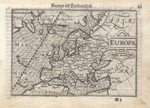
A 16th century miniature map of Europe
LANGENES, Barent. Date: 1599Stock #: 21307 £250.00 -
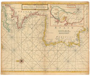
An 18th century sea chart of the Atlantic coasts of Europe
MOUNT & PAGE. Date: 1760Stock #: 24819 £460.00 -
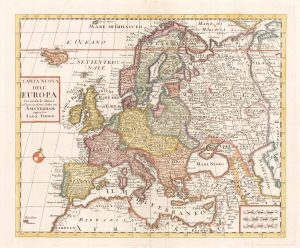
18th century map of Europe
ALBRIZZI, Giovanni Battista. Date: 1740Stock #: 23165 £280.00 -
Rare map of the postal routes of Europe
PONGRATZ, Janos. Date: 1806Stock #: 25161 £550.00 -
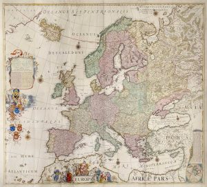
A four-sheet wall map of Europe
DE WIT, Frederick. Date: 1730Stock #: 20094 £6,500.00 -
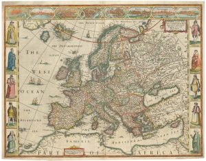
17th century English carte à figure map of Europe
SPEED, John. Date: 1665Stock #: 23986 £2,600.00 -
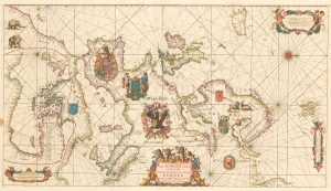
An exceptional 17th century sea chart of Europe
DE WIT, Frederick. Date: 1675Stock #: 23450 £7,500.00 -
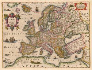
The first atlas issue of this 17th century map of Europe
HONDIUS, Henricus. Date: 1633Stock #: 20416 £1,100.00 -
A decorative map of the continent of Europe
LEVASSEUR, Victor. Date: 1850Stock #: 14176 £200.00