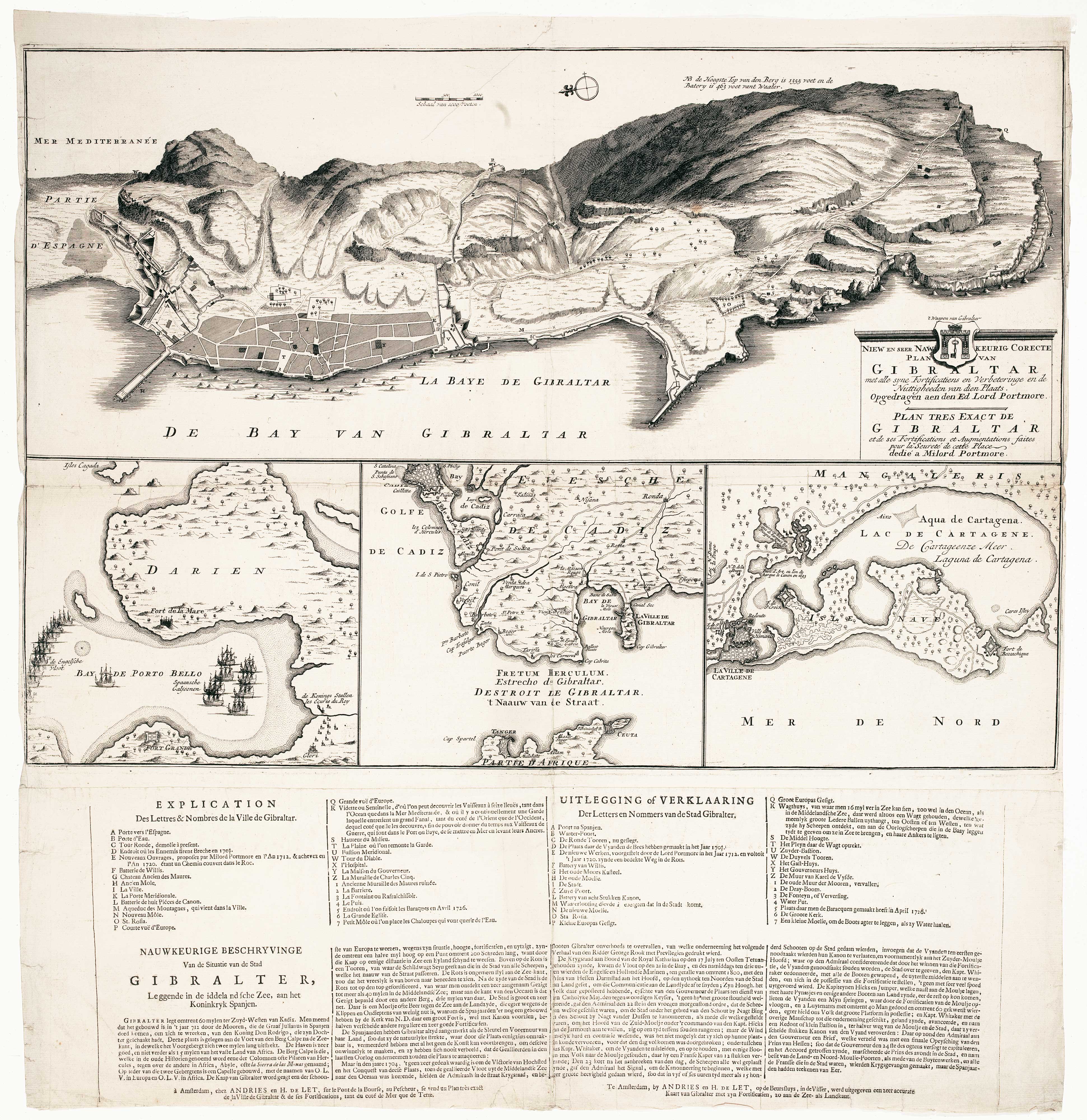


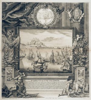
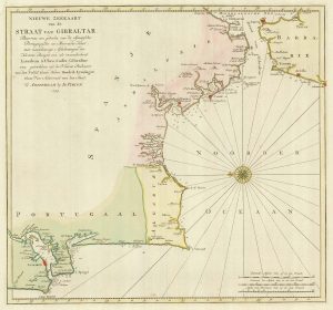
Dutch broadsheet of the Anglo-Spanish War, 1727-9
Niew en Seer Naw Keurig Corecte Plan van Gibraltar...
Amsterdam, Andries & Hendrick de Leth, 1727. 410 x 575mm plus separate letterpress sheet.
£900.00
1 in stock
x
Question About This Item?
Dutch broadsheet of the Anglo-Spanish War, 1727-9 & LETH, Andries de.Stock #: 22698
Add to Wishlist
Export as PDFEnquireSimilar to Sell?Add to Wishlist
Description
A rare broadsheet map published to illustrate accounts of the 1727 Anglo-Spanish War. The largest map shows the siege of Gibraltar, dedicated to Lord Portmore who, as governor of Gibraltar from 1713-20, had greatly improved the defences of the fortress. Underneath are: a plan of the Blockade of Porto Bello in Panama, in which the British didn't fire a shot but lost three-quarters of their men to disease; the Strait of Gibraltar; and a plan of Cartagena, the Spanish naval base.The letterpress text contains a key to the Gibraltar map in French and Dutch and a description in Dutch only.
Condition:
Narrow margins as issued, repairs to folds.Related products
-
The British capture of Gibraltar in 1704
DECKER, Paul. Date: 1720Stock #: 23319 £800.00 -
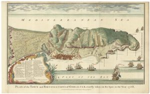
Plan of Gibraltar in 1738
BASIRE, James. Date: 1745Stock #: 22152 £280.00 -
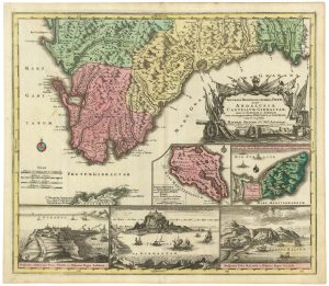
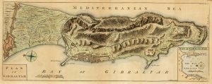
An early 18th century map of Gibraltar
SEUTTER, Matthaus. Date: 1730Stock #: 21889 £340.00 -
The Relief of Gibraltar by Admiral Leake
DECKER, Paul. Date: 1720Stock #: 12773 £600.00 -
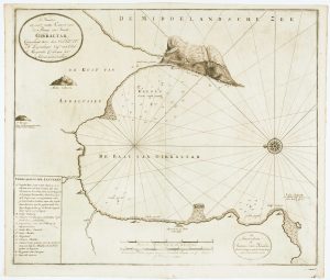
Dutch sea chart of the harbour of Gibraltar
KEULEN, Johannes van. Date: 1630Stock #: 22708 £450.00 -
Gibraltar during the Seven Years’ War
GIBSON, John. Date: 1762Stock #: 21950 £160.00 -

Early 18th century engraving showing the Relief of Gibraltar in 1705
DECKER, Paul. Date: 1720Stock #: 18680 £900.00 -
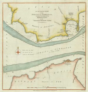
A sea chart of the currents in the Straits of Gibraltar
LODGE, John. Date: 1782Stock #: 21237 £120.00 -
18th century Dutch sea chart of the Strait of Gibraltar.
TIRION, Isaak. Date: 1759Stock #: 22010 £200.00