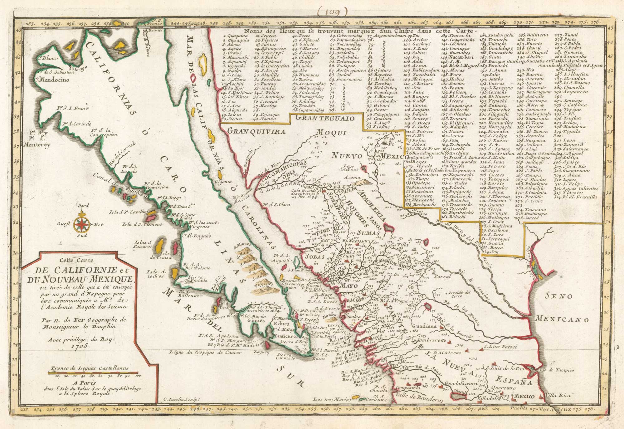


18th century French map of California as an Island
Cette Carte de Californie et du Nouveau Mexique... 1705.
Paris, 1705. Original colour. 225 x 340mm.
£920.00
1 in stock
x
Question About This Item?
18th century French map of California as an Island & FER, Nicolas de.Stock #: 18883
Add to Wishlist
Export as PDFEnquireSimilar to Sell?Add to Wishlist
Description
An important map of California: engraved by Inselin for the 'Atlas Curieux', it shows the discoveries of Father Eusebio Kino, the first European to cross from the mainland to California. However it is still depicted as an island.
The mainland is shown from Mexico City to Santa Fé, with an incredible 314-point key.
Condition:
Old ink mss. number in top edge of map.References:
McLAUGHLIN: 134.Related products
-

De Fer’s large-format map of the island of California
FER, Nicolas de. Date: 1720Stock #: 25088 £6,000.00 -
An early chart of Monterey Bay
LA PEROUSE, Jean-Francois de Galaup de. Date: 1797Stock #: 22414 £400.00 -
A rare playing card of California
Anonymous. Date: 1680Stock #: 25019 £500.00 -
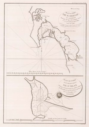
Early charts of San Diego and San Blas
LA PEROUSE, Jean-Francois de Galaup de. Date: 1797Stock #: 22412 £340.00 -
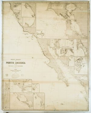
Blue-back chart of the West Coast of the USA
IMRAY, James. Date: 1870Stock #: 8360 £950.00
Items by the same author
Add to Wishlist
Add to Wishlist
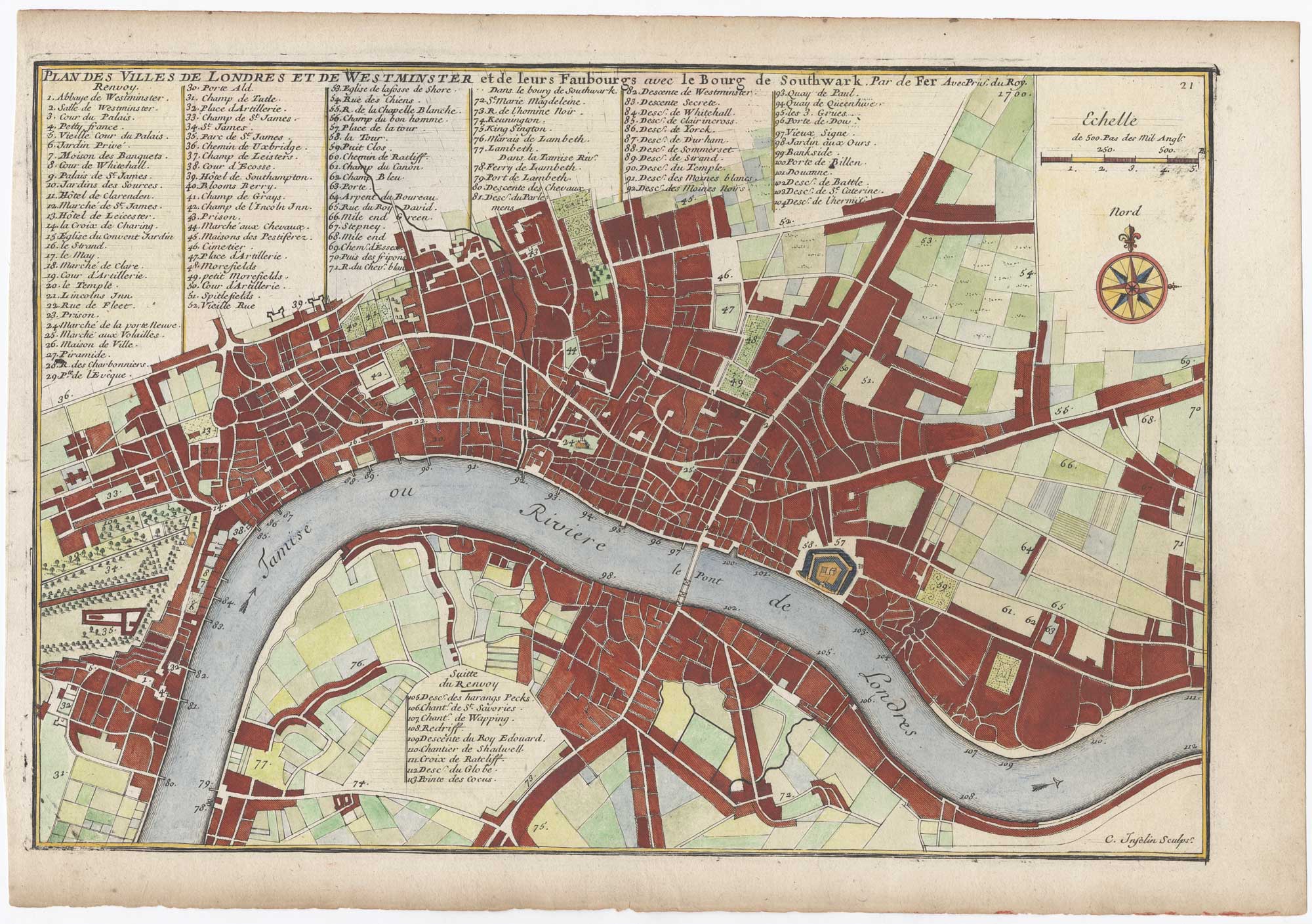
London at the beginning of the 18th century
FER, Nicolas de. Date: 1700 Stock #: 25641 £550.00
Add to Wishlist
Add to Wishlist
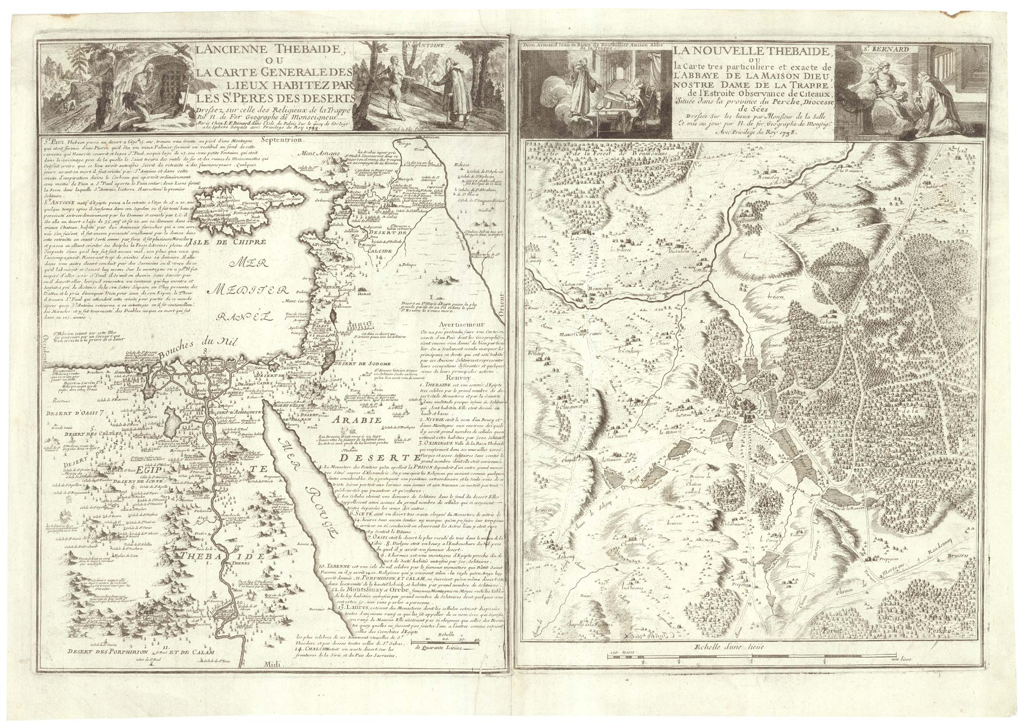
Two maps linking the monastics of Egypt and French Trappism
FER, Nicolas de. Date: 1738 Stock #: 25318 £650.00
Add to Wishlist
Add to Wishlist

A decorative early 18th century chart of the Mediterranean
FER, Nicolas de. Date: 1654 Stock #: 25252 £2,750.00
Add to Wishlist
Add to Wishlist

De Fer's large format of Western Asia centred on Arabia
FER, Nicolas de. Date: 1720 Stock #: 25114 £1,250.00
Add to Wishlist
Add to Wishlist