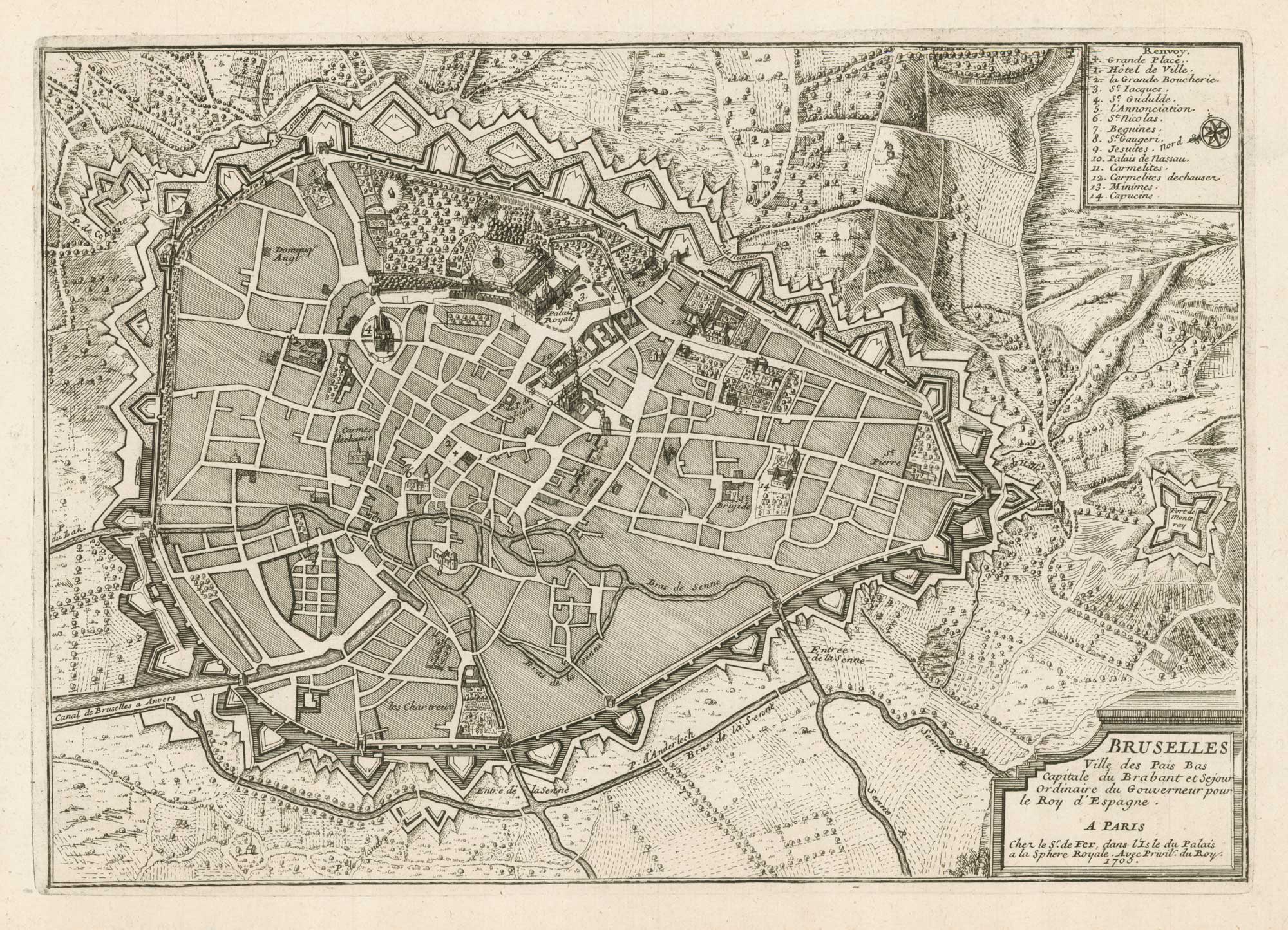


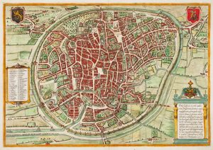
Early 18th century plan of Brussels
Bruselles Ville des Pais Bas...
Paris, 1705. 225 x 320mm. With a separate sheet of descriptive text.
£250.00
Description
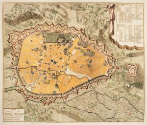
A small and attractive map of Brussels, showing the outline of the roads and identifying in profile fourteen important buildings, with a key bto the top right.
Condition:
.Related products
-
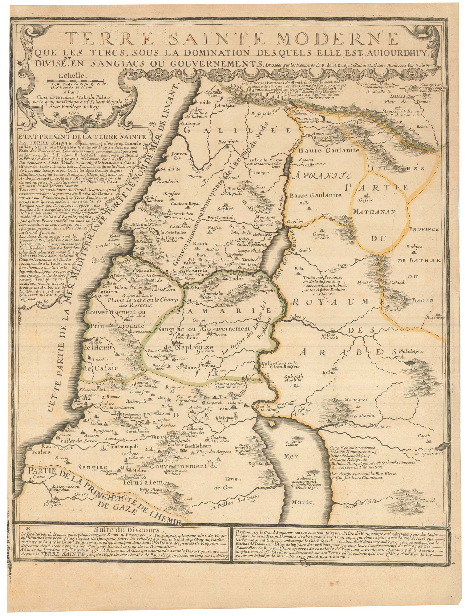
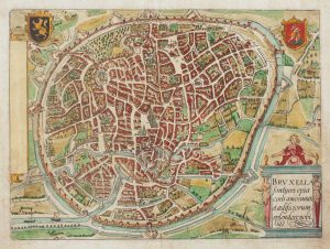
A town plan of Brussels just prior its capture by the French
LE ROUGE, Georges-Louis. Date: 1745Stock #: 24832 £450.00 -
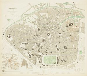
19th century plan of Brussels
Society for the Diffusion of Useful Knowledge. Date: 1837Stock #: 13838 £60.00 -
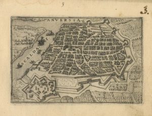
A 16th century town plan of Antwerp
VALEGIO, Francesco. Date: 1598Stock #: 24203 £250.00 -
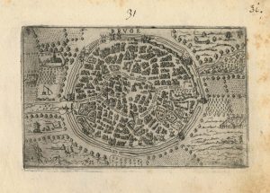
A 16th century town plan of Bruges
VALEGIO, Francesco. Date: 1598Stock #: 24204 £240.00 -
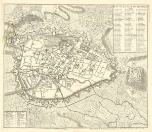
Town plan of Brussels in the 18th century
HUCHTENBURG, J. van. Date: 1729Stock #: 11162 £500.00 -
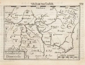
A 16th century miniature map of the Diocese of Liège
LANGENES, Barent. Date: 1599Stock #: 21152 £55.00 -
16th century town plan of Brussels
BRAUN, Georg & HOGENBERG, Frans. Date: 1572Stock #: 14660 £900.00 -
Early town plan of Brussels
GUICCIARDINI, Ludovico. Date: 1648Stock #: 15001 £220.00 -
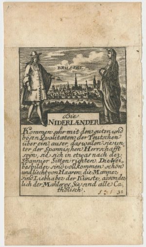
A rare playing card of Brussels
Anonymous. Date: 1680Stock #: 25020 £320.00
Items by the same author
Add to Wishlist
Add to Wishlist
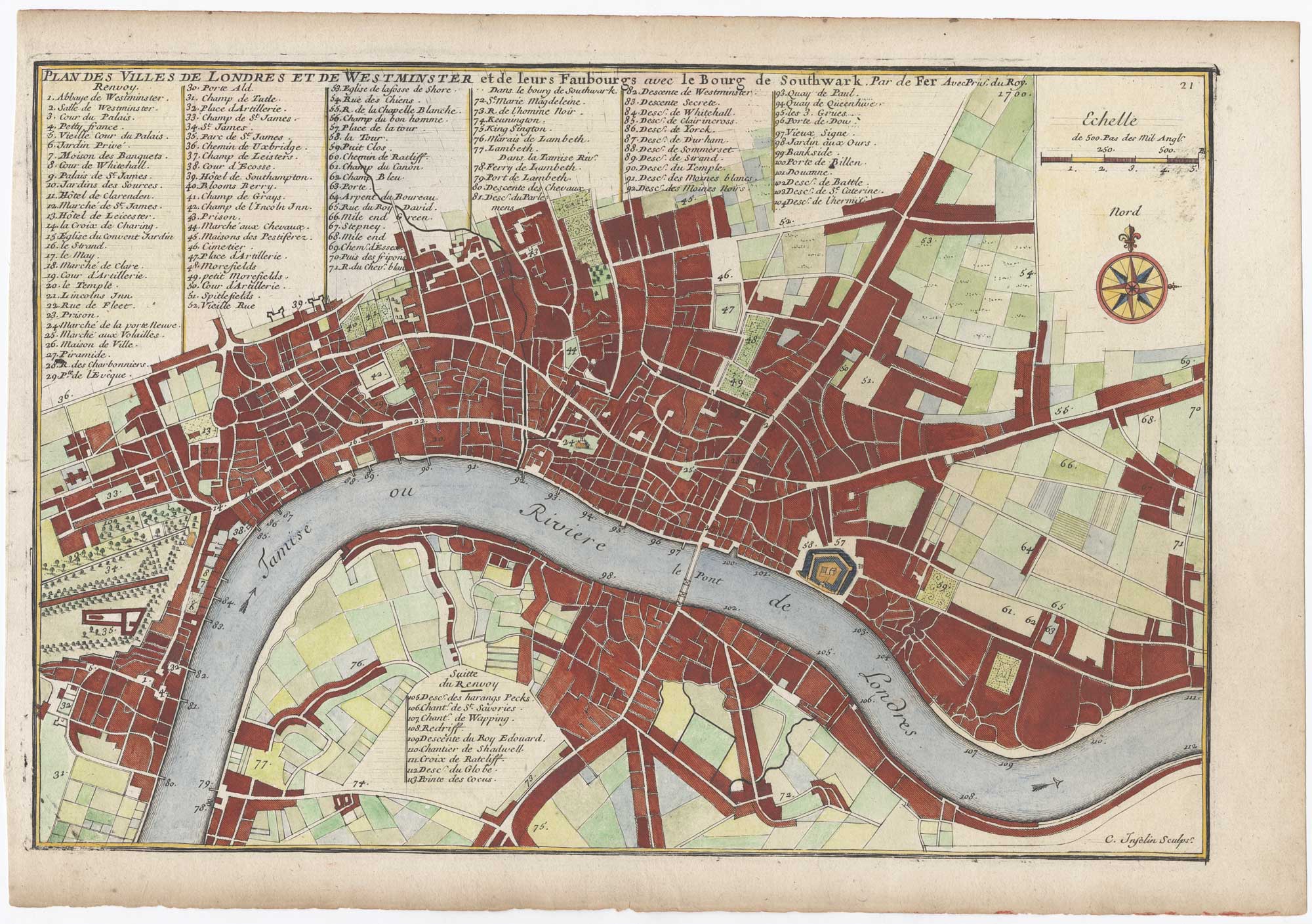
London at the beginning of the 18th century
FER, Nicolas de. Date: 1700 Stock #: 25641 £550.00
Add to Wishlist
Add to Wishlist
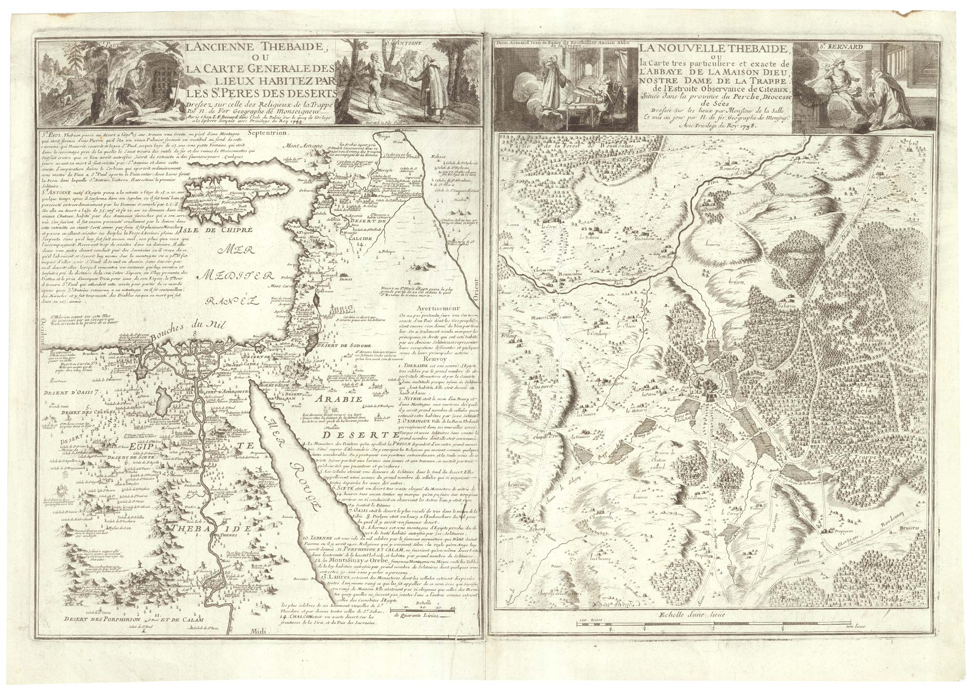
Two maps linking the monastics of Egypt and French Trappism
FER, Nicolas de. Date: 1738 Stock #: 25318 £650.00
Add to Wishlist
Add to Wishlist

A decorative early 18th century chart of the Mediterranean
FER, Nicolas de. Date: 1654 Stock #: 25252 £2,750.00
Add to Wishlist
Add to Wishlist

De Fer's large format of Western Asia centred on Arabia
FER, Nicolas de. Date: 1720 Stock #: 25114 £1,250.00
Add to Wishlist
Add to Wishlist