

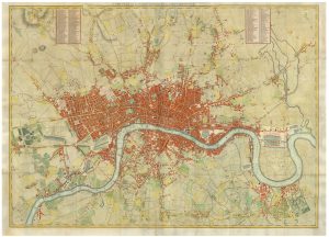
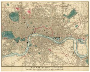
Map of the environs of London in fine colour
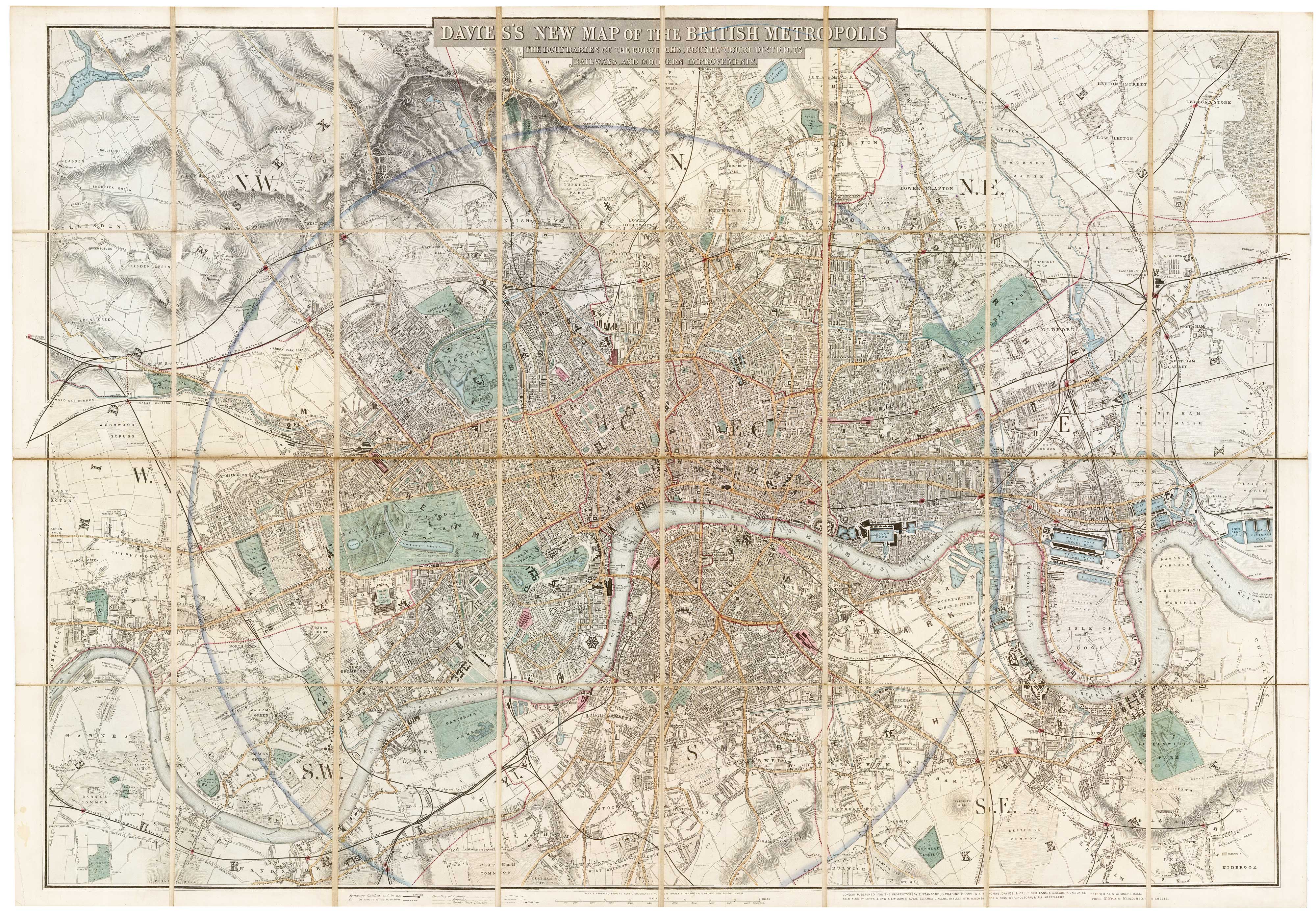
Davies's Map of the British Metropolis. The Boundaries of the Boroughs, County Court Districts, Railways and Modern Improvements.
London: Edward Stanford, c.1850. Original colour. Dissected and laid on linen, total 670 x 965mm.
£1,300.00
1 in stock
x
Question About This Item?
Map of the environs of London in fine colour & DAVIES, Benjamin Rees.Stock #: 22252
Add to Wishlist
Export as PDFEnquireSimilar to Sell?Add to Wishlist
Description
A large and detailed map, covering from Hammersmith clockwise to Willesden, Highgate, Leytonstone, Canning Town, Greenwich, Bromley, Mitcham, Wimbledon and Barnes. A ring marks 4 miles from Charing Cross.
The map is undated, but as Brunel's Hungerford Suspension Bridge is still in place and King's Cross Station is marked we estimate it c.1852.
Condition:
A good example.References:
HYDE: 27.Related products
-
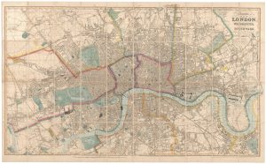
A large plan of London in 1863
OUTHETT, John. Date: 1863Stock #: 24116 £1,600.00 -
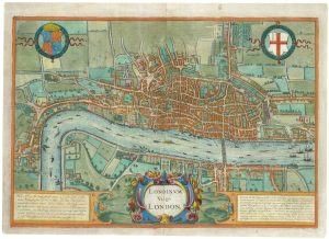
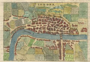
The rare Jansson edition of the earliest available map of London
BRAUN, Georg & HOGENBERG, Frans. Date: 1657Stock #: 25199 £6,500.00 -
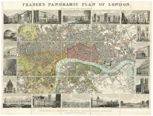
Plan of London during the reign of William IV
FRASER, James. Date: 1831Stock #: 19889 £1,100.00 -
Early Italian plan of London
VALEGIO, Francesco. Date: 1713Stock #: 18640 £350.00 -
Town plan of Georgian London with illustrated borders
LANGLEY & BELCH. Date: 1812Stock #: 23445 £2,800.00 -
A pirate edition of Morden & Lea’s map of London
MORDEN, Robert & LEA, Philip. Date: 1750Stock #: 22890 £5,000.00 -
A four-sheet wall map of London
STOCKDALE, John. Date: 1797Stock #: 19537 £9,000.00 -
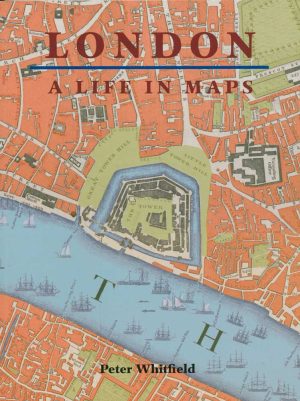
A history of London through maps
WHITFIELD, Peter. Date: 2006Stock #: 12441 £20.00 -
Detailed map of London during the Great Exhibition of 1851
CARY, John. Date: 1851Stock #: 24101 £1,500.00