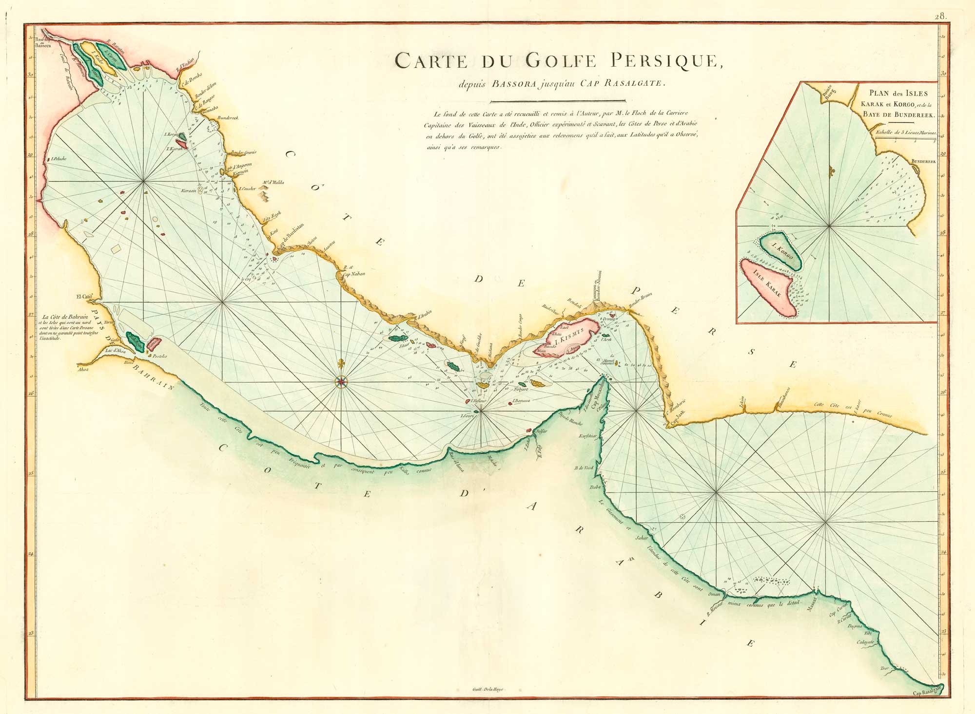


18th century chart of the Persian Gulf
Carte du Golfe Persique, depuis Bassora jusqua'au Cap Rasalgate.
Paris, c.1775. Coloured. 480 x 670mm.
£1,400.00
1 in stock
x
Question About This Item?
18th century chart of the Persian Gulf & APRÈS DE MANNEVILLETTE, Jean Baptiste d'.Stock #: 20158
Add to Wishlist
Export as PDFEnquireSimilar to Sell?Add to Wishlist
Description
The Persian Gulf, engraved by Guillaume Dela Haye, naming Bahrain but with no sign of the Qatar Peninsula. The inset shows Kharg Island, the site of a Dutch trading port from 1753-1766, off Bandar Rig in Persia.
Après de Mannevillette (1707-1780), made a voyage to China in 1728, using new instruments to correct the latitudes of places en route. He then compiled a new sea atlas, the 'Le Neptune Oriental', with much-corrected charts. However the Persian Gulf was not a welcoming place for European ships: the Arabian coast is marked 'peu connu' (little known).
Condition:
A good example.Related products
-
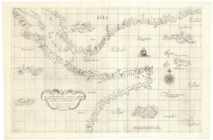
A 17th century sea chart of the Gulf of Aden in Dudley’s unique style
DUDLEY, Robert. Date: 1646Stock #: 23592 £3,250.00 -
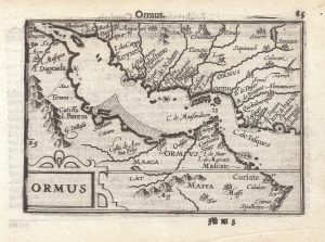
A 16th century miniature map of the Persian Gulf
LANGENES, Barent. Date: 1599Stock #: 21267 £340.00 -
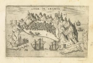
A 16th century Italian plan of Aden
VALEGIO, Francesco. Date: 1598Stock #: 24139 £240.00 -
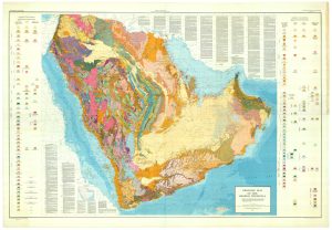
Rare & important geological map of the Kingdom of Saudi Arabia
US GEOLOGICAL SURVEY, ARABIAN AMERICAN OIL COMPANY Date: 1963Stock #: 25449 £11,000.00 -
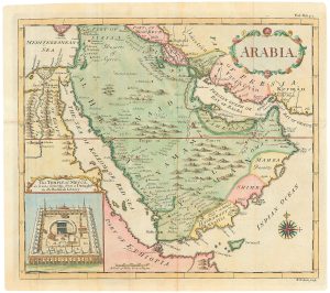
Map of Arabia with an inset view of The Temple of Mecca
SEALE, Richard William. Date: 1764Stock #: 24799 £1,200.00 -
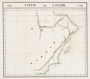
Detailed map of Oman, with Muscat marked
VANDERMAELEN, Philippe. Date: 1827Stock #: 14074 £750.00 -
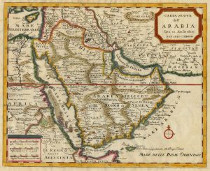
18th century Italian map of Arabia
TIRION, Isaak. Date: 1740Stock #: 24978 £500.00 -

17th century miniature prospect of Mecca
MALLET, Alain Manesson. Date: 1683Stock #: 22461 £190.00 -
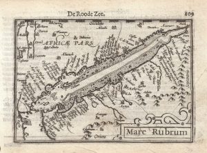
A 16th century miniature map of the Red Sea
LANGENES, Barent. Date: 1599Stock #: 21265 £280.00
Items by the same author
Add to Wishlist
Add to Wishlist
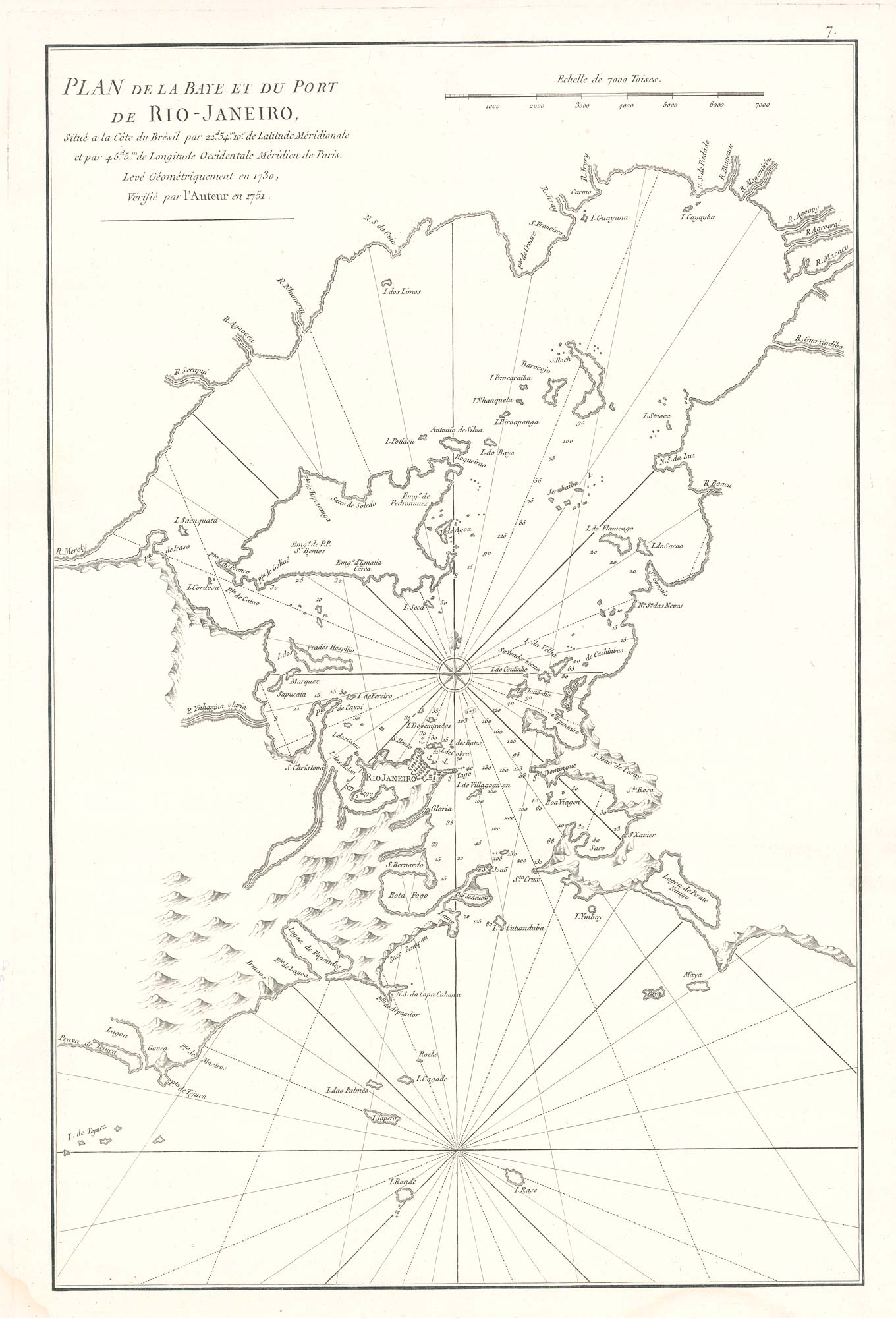
Scarce sea chart of the harbour of Rio de Janeiro
APRÈS DE MANNEVILLETTE, Jean Baptiste d'. Date: 1775 Stock #: 19729 £750.00
Add to Wishlist
Add to Wishlist
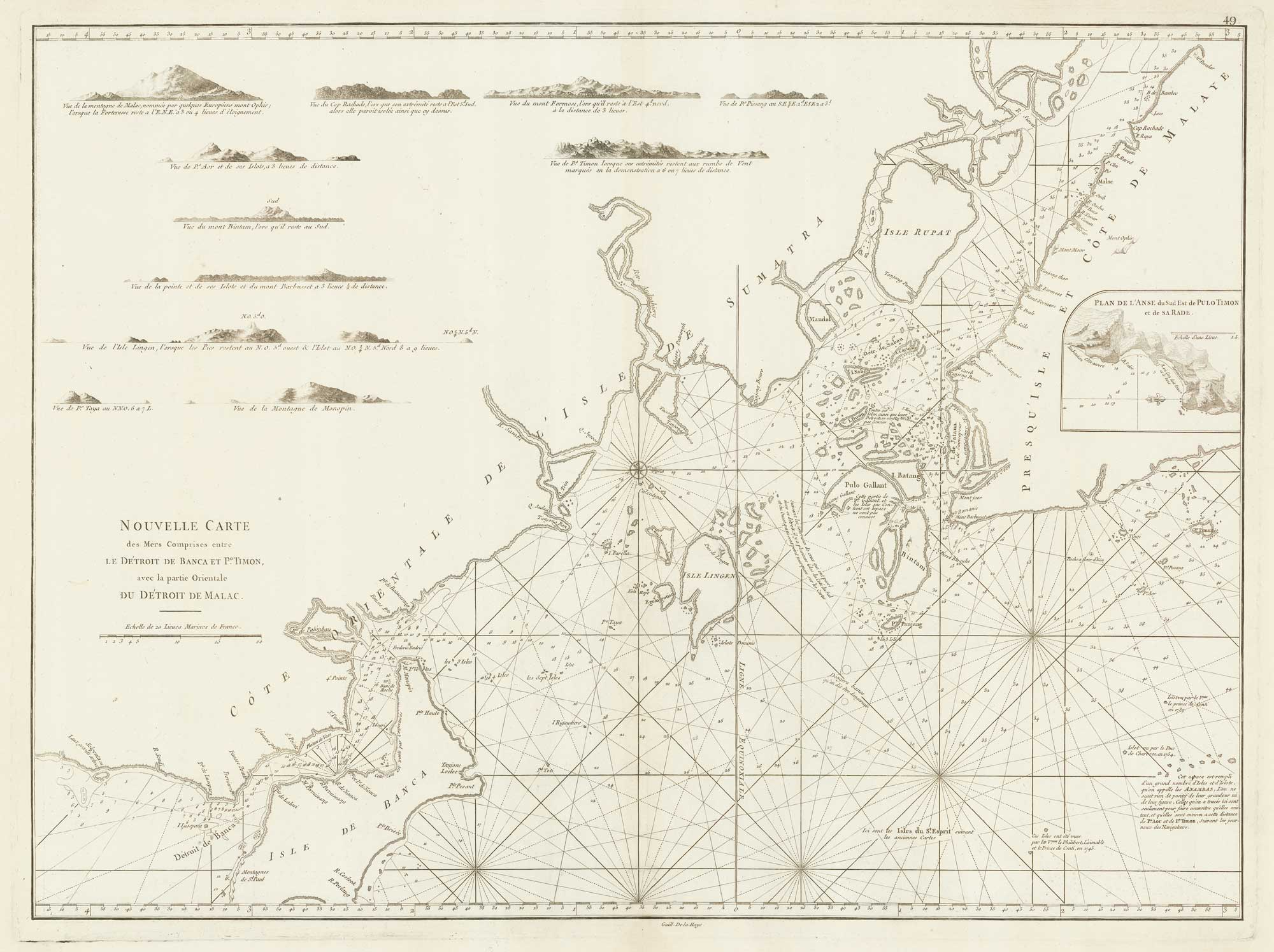
A sea chart of the environs of Singapore
APRÈS DE MANNEVILLETTE, Jean Baptiste d'. Date: 1775 Stock #: 19834 £2,000.00
Add to Wishlist
Add to Wishlist
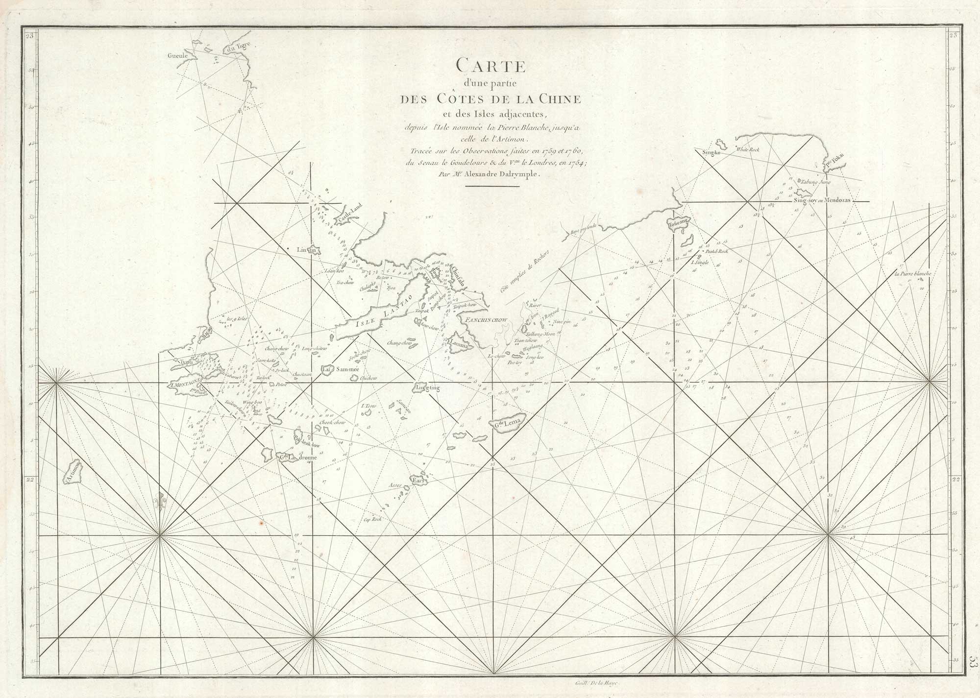
An important sea chart of the environs of Hong Kong and Macao
APRÈS DE MANNEVILLETTE, Jean Baptiste d'. Date: 1775 Stock #: 19839 £2,950.00
Add to Wishlist
Add to Wishlist
