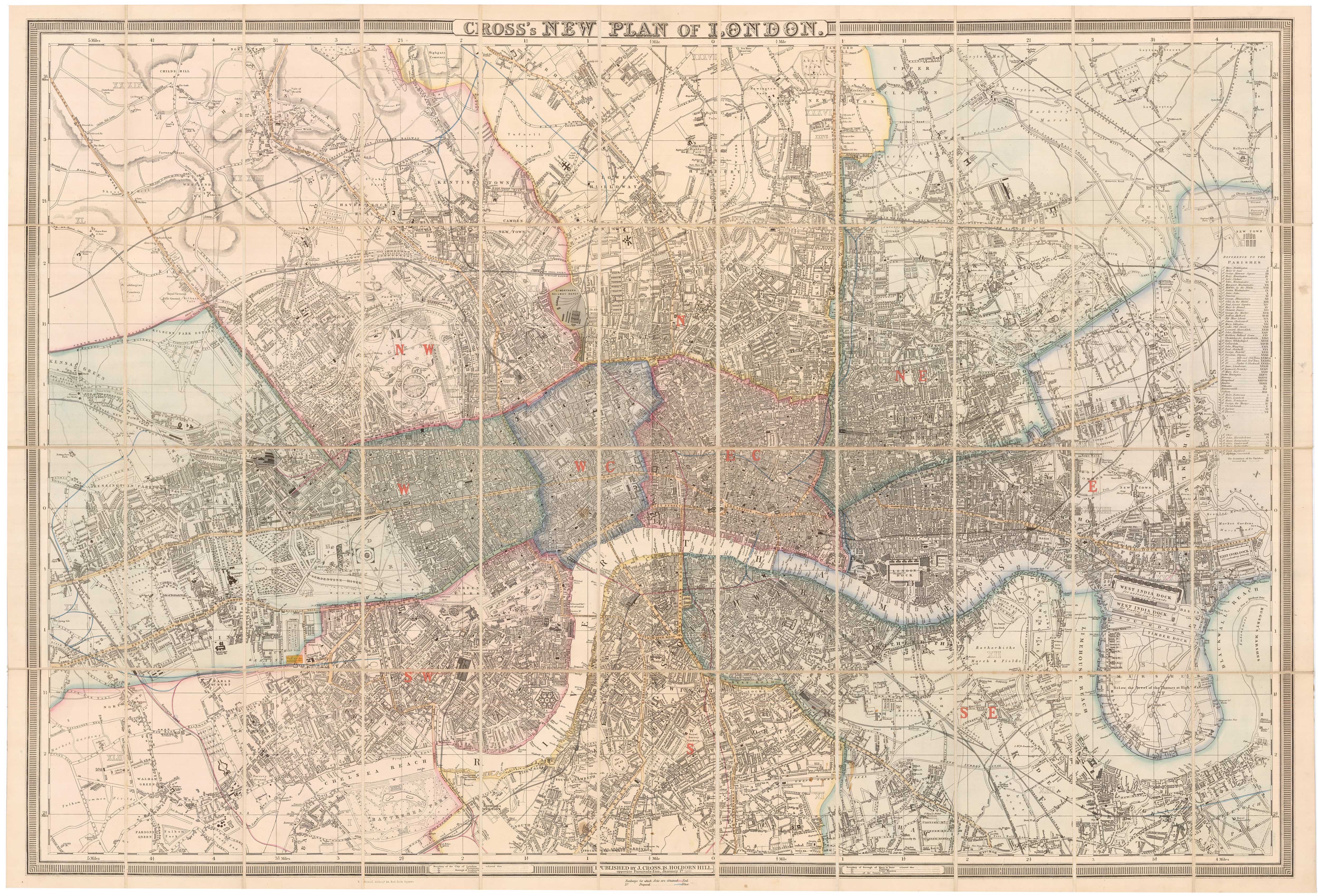


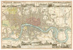
Large scale map of London in 1861
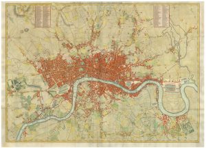
Cross's New Plan of London.
London, 1861. Original colour. Dissected and laid on linen, as issued, total 860 x 1260mm, folded into slipcase with publisher's title label.
£2,000.00
Description
A folding map of London extending to Kensal Green in the west, clockwise to Hampstead, Highgate Cemetary, Leytonstone, Bow, the East and West India Docks, Greenwich, North Brixton and Parson's Green.
Condition:
Slipcase rubbed.References:
HOWGEGO 317.Related products
-
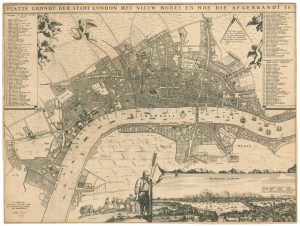
A rare broadsheet map of the Great Fire of London of 1666
DE WIT, Frederick. Date: 1666Stock #: 24892 £7,500.00 -
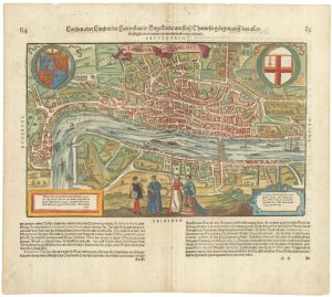
Early woodblock map of Elizabethan London
MUNSTER, Sebastian. Date: 1628Stock #: 24366 £1,600.00 -
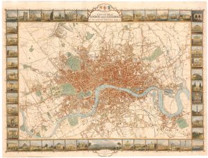
London during the Great Exhibition of 1851
TALLIS, John. Date: 1851Stock #: 25662 £2,400.00 -

A readable study of London maps
BARBER, Peter. Date: 2012Stock #: 18272 £45.00 -
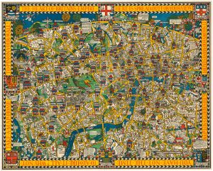
The famous ‘Wonderground’ map of London
GILL, Leslie MacDonald. Date: 1815Stock #: 23780 £3,250.00 -
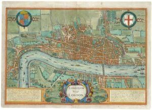
The rare Jansson edition of the earliest available map of London
BRAUN, Georg & HOGENBERG, Frans. Date: 1657Stock #: 25199 £6,500.00 -
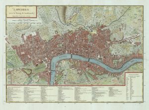
A French edition of Rocque’s map of London
TARDIEU, Pierre François. Date: 1765Stock #: 22729 £800.00 -
Town plan of Georgian London with illustrated borders
LANGLEY & BELCH. Date: 1812Stock #: 23445 £2,800.00 -
A four-sheet wall map of London
STOCKDALE, John. Date: 1797Stock #: 19537 £9,000.00