


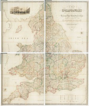

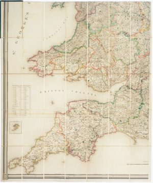
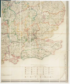
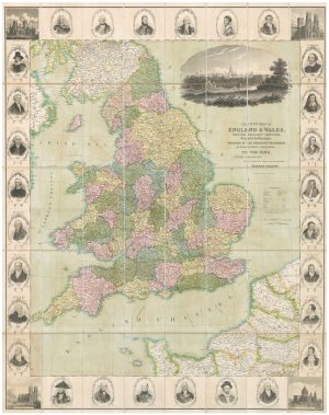
Four-sheet folding map of England & Wales
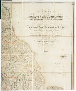
A Map of England & Wales Divided into Counties, Parliamentary Divisions & Dioceses shewing the principal Roads, Railways, Rivers and Canals and Seats of the Nobility and Gentry with the Distance of Each Town from the General Post Office, London. Projected from the Triangulation for the Survey made under the Direction of the Honorable The Board of Ordnance on a scale of Five Miles to an Inch and Corrected to the Present Time.
London: Samuel Lewis, c.1839. Original colour. Four sheets, dissected and laid on linen, each 1040 x 860mm, folded into original morocco gilt covers.
£800.00
Description
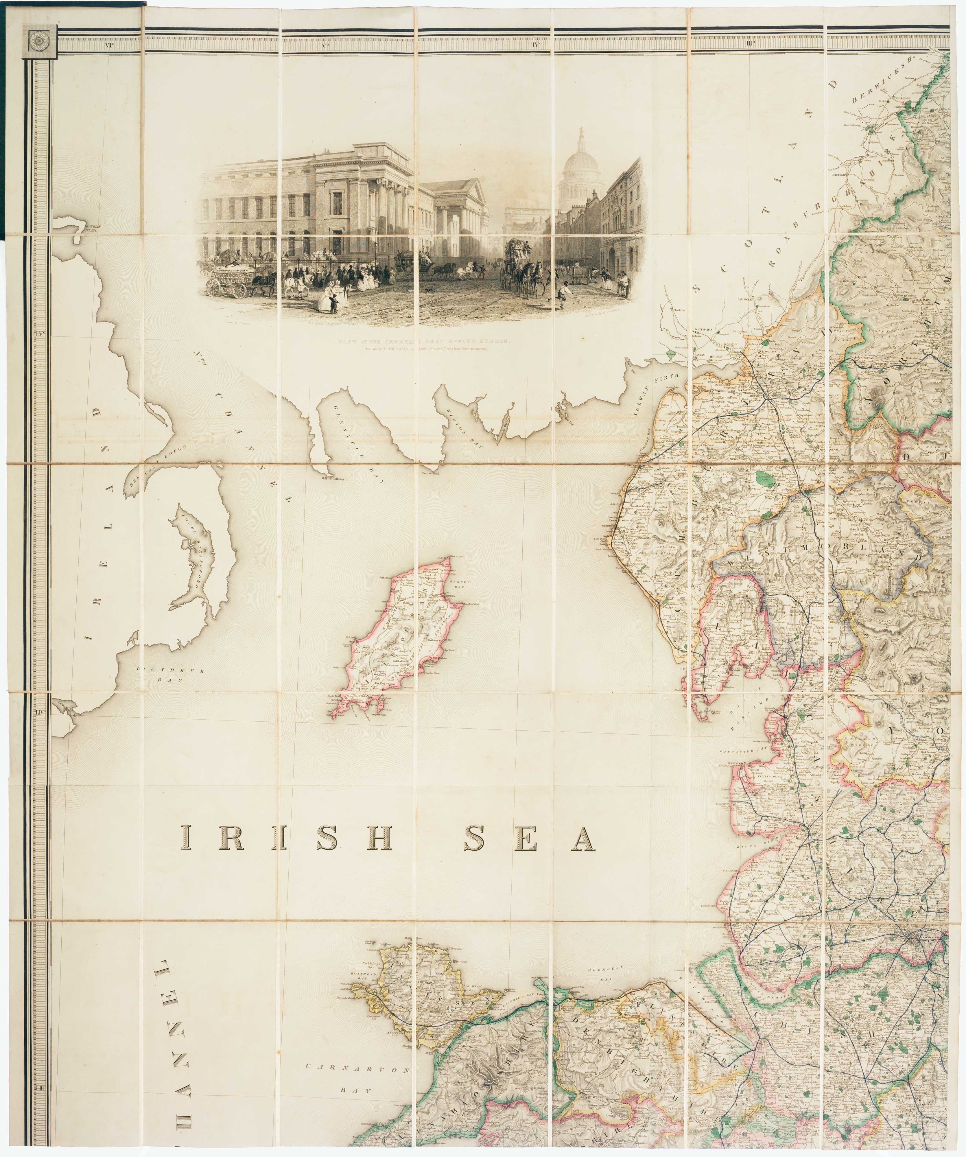
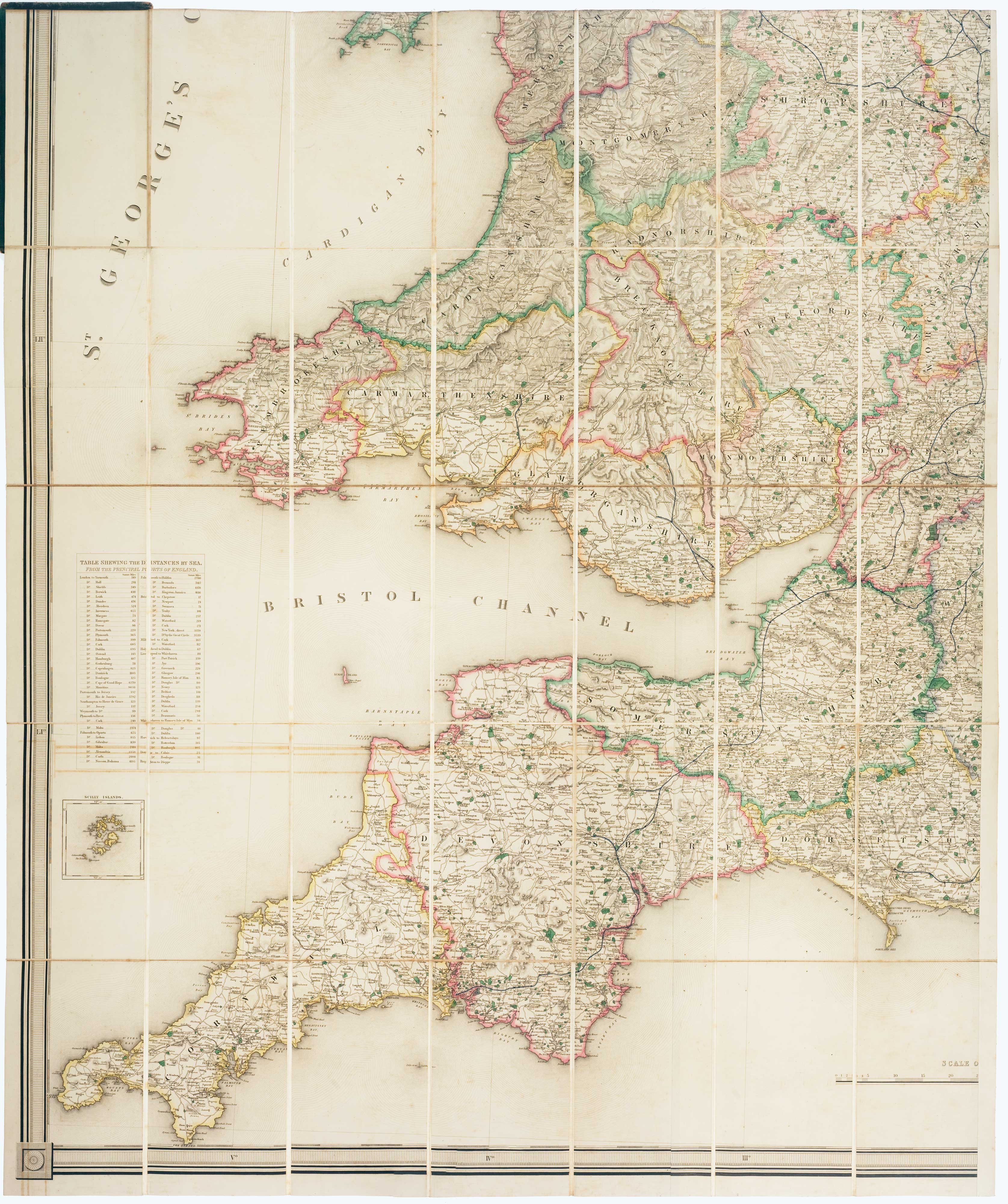
A four-sheet map of England and Wales, drawn by Creighton, engraved by John Dower, in fine original colour, with a list of dioceses with coats of arms, a table of distances by sea and a large vignette view of the General Post Office in London, engraved by Griffiths after Thomas Allom.
Condition:
Hinges defective.Related products
-
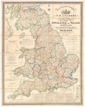
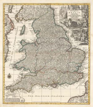
A large and detailed Victorian map of England & Wales
LOADER, T.B. Date: 1840Stock #: 22981 £1,850.00 -
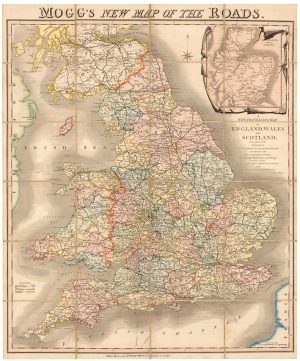
A colourful Georgian map of the roads of England & Wales
MOGG, Edward Slatford. Date: 1838Stock #: 22986 £250.00 -
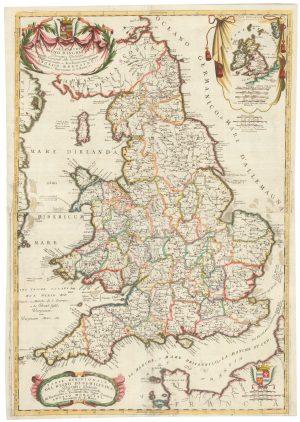
An 17th century two-sheet map of England and Wales
CORONELLI, Vincenzo Maria. Date: 1691Stock #: 21517 £750.00 -
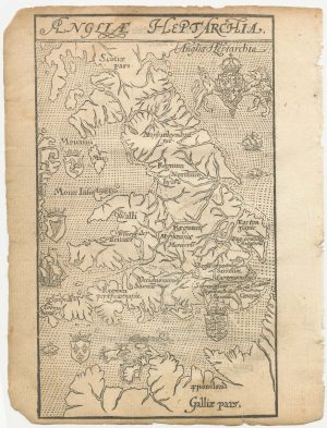
England divided into the Saxon Heptarchy
SEUTTER, Matthaus. Date: 1740Stock #: 22311 £380.00 -
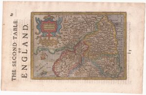
North West England from the first English Edition of the ‘Atlas Minor’
HONDIUS, Jodocus. Date: 1635Stock #: 22445 £150.00 -
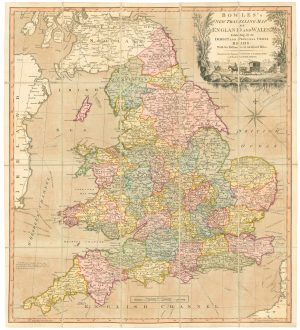
A road map of England and Wales
BOWLES, Carington. Date: 1800Stock #: 24719 £300.00 -
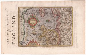
Northern England from the first English Edition of the ‘Atlas Minor’
HONDIUS, Jodocus. Date: 1635Stock #: 22444 £100.00 -
A 16th century woodcut map of England and Wales
LYNE, Richard. Date: 1596Stock #: 23298 £750.00 -
A decorative wall map of England & Wales
SEATON, Robert. Date: 1835Stock #: 10838 £1,500.00