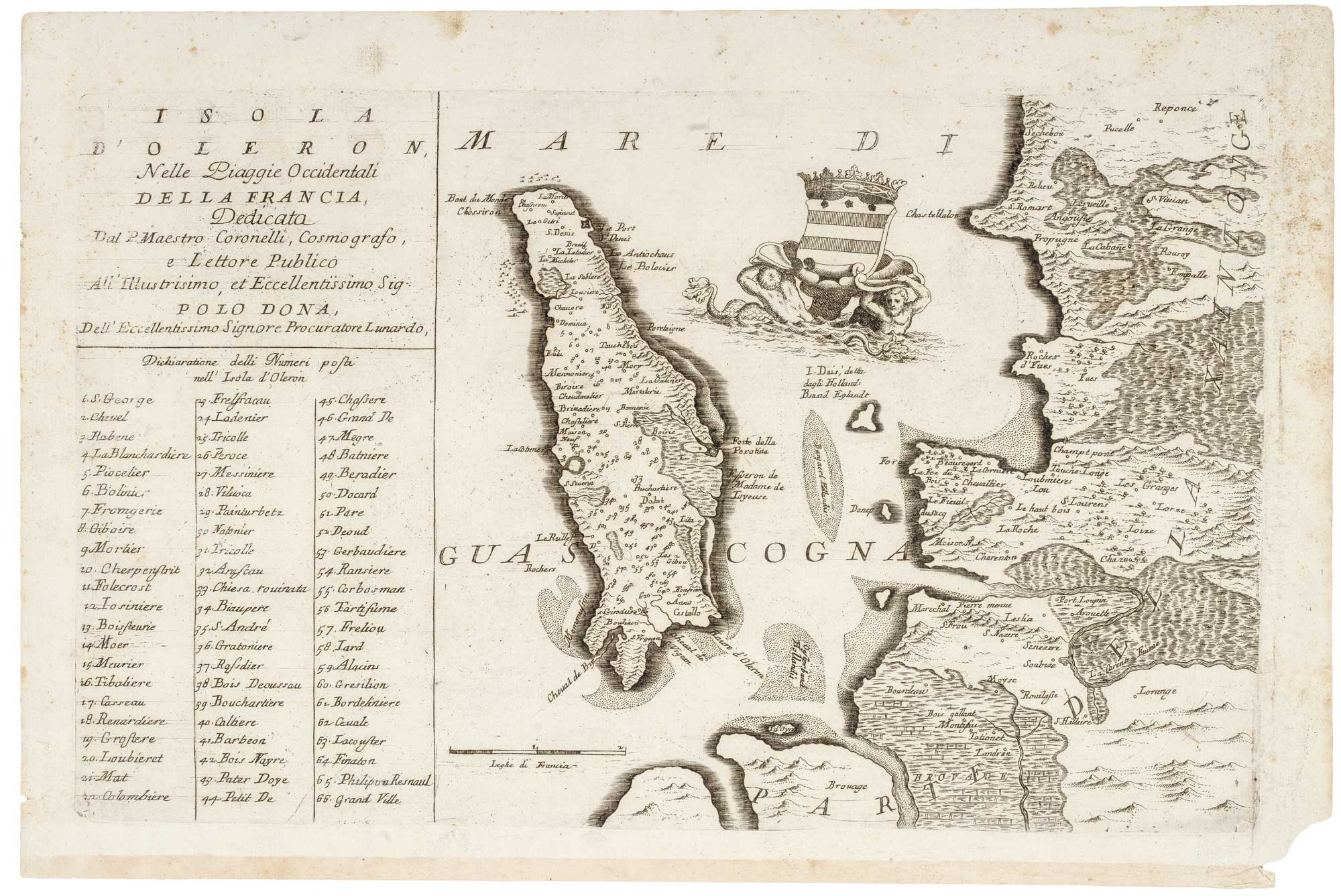


17th century map of Oleron
Isola d'Oleron, nella piaggie occidentali della Francia...
Venice, c.1690. 290 x 310mm.
£240.00
Description
Venetian map of the island of Oleron, off the west coast of France. The map was published in the Corso Geografico Universale. In the sea is the coat of arms of Polo Dona, the dedicatee of the map.. The coat of arms is held aloft by two merfolk. Beneath the title is a key to places on the map.
Condition:
A good example.Related products
-
James Boswell’s 18th century tour of Corsica
PHINN, Thomas. Date: 1768Stock #: 23174 £680.00 -
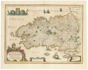
A detailed 17th century map of Brittany
HONDIUS, Henricus. Date: 1650Stock #: 23384 £500.00 -
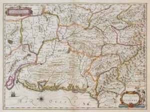
17th century map of Guyenne
JANSSON, Jan. Date: 1666Stock #: 8391 £240.00 -
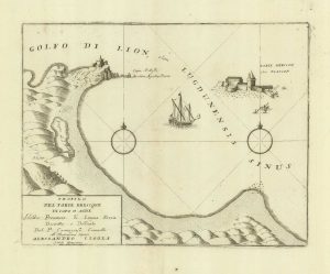
A sketch map of Cap d’Agde and Fort de Brescou
CORONELLI, Vincenzo Maria. Date: 1688Stock #: 21226 £180.00 -
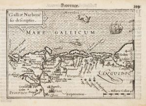
A 16th century miniature map of Narbonne
LANGENES, Barent. Date: 1599Stock #: 21138 £60.00 -

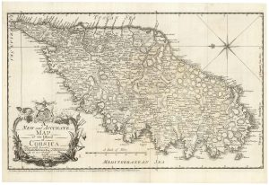
A 16th century map of Corsica
PORCACCHI, Tomaso. Date: 1590Stock #: 23212 £260.00 -
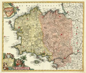
A detailed 18th century map of Brittany
HOMANN, Johann Baptist. Date: 1720Stock #: 21195 £420.00 -

A 16th century town plan of Avignon
VALEGIO, Francesco. Date: 1598Stock #: 24211 £150.00 -
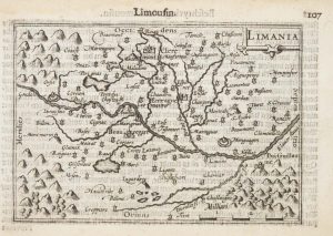
A 16th century miniature map of Limousin
LANGENES, Barent. Date: 1599Stock #: 21136 £55.00
Items by the same author
Add to Wishlist
Add to Wishlist
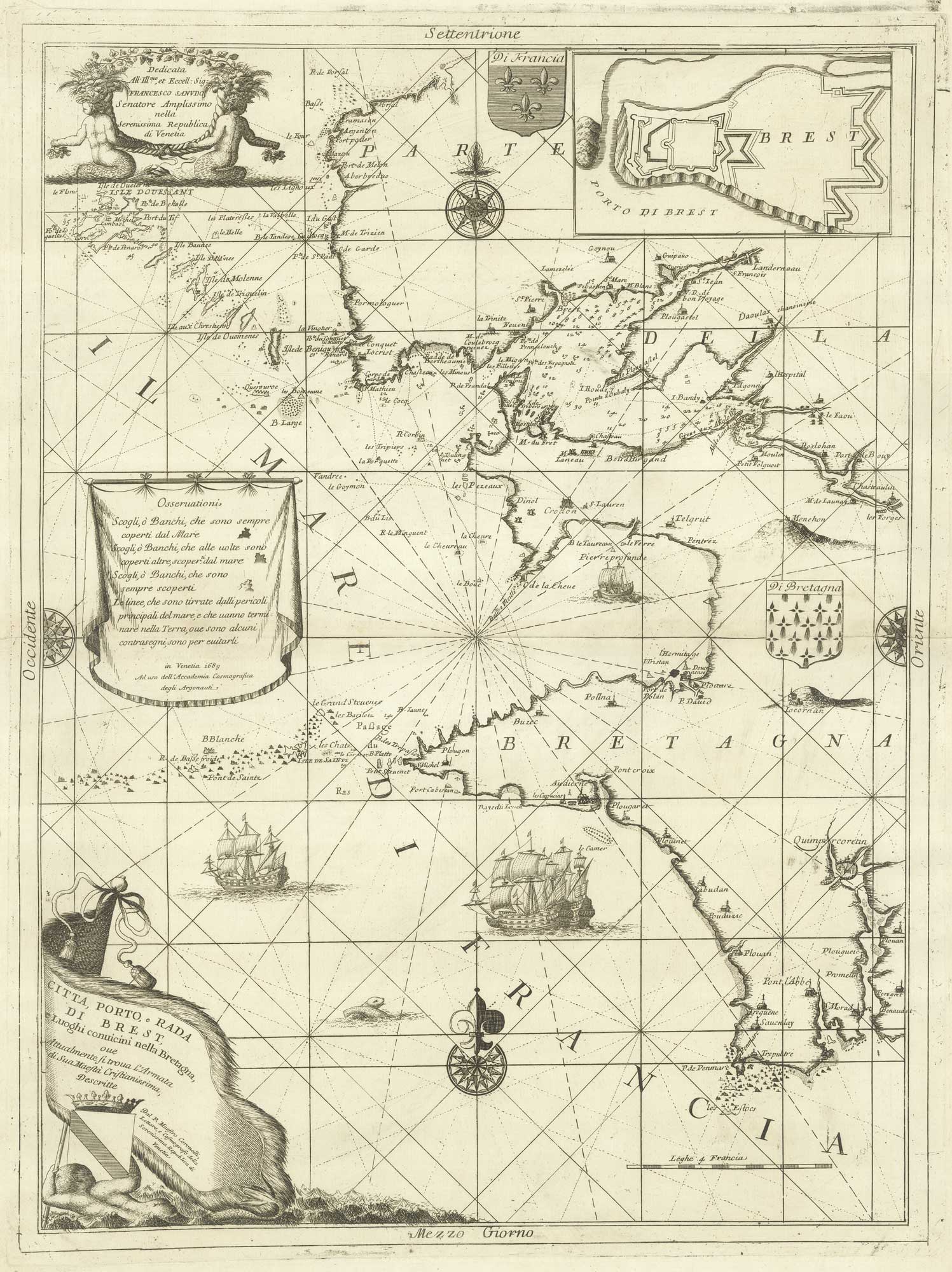
A decorative sea chart of the environs of Brest
CORONELLI, Vincenzo Maria. Date: 1689 Stock #: 21213 £550.00
Add to Wishlist
Add to Wishlist
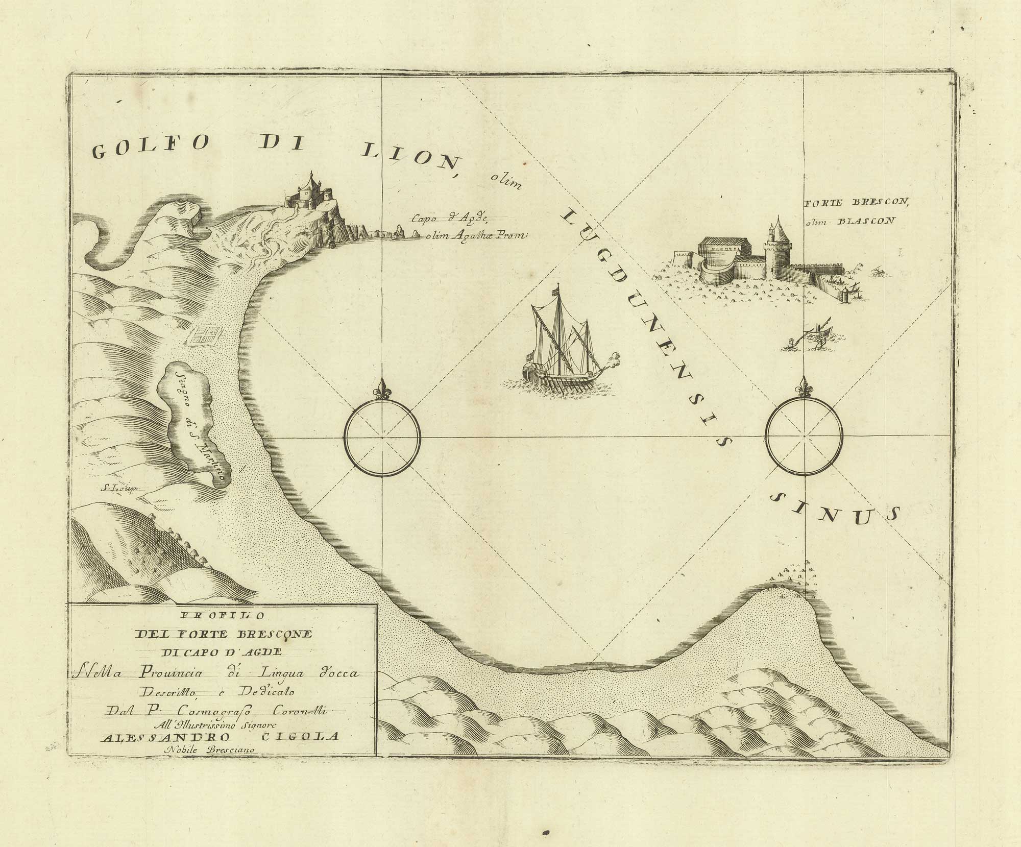
A sketch map of Cap d'Agde and Fort de Brescou
CORONELLI, Vincenzo Maria. Date: 1688 Stock #: 21226 £180.00
Add to Wishlist
Add to Wishlist
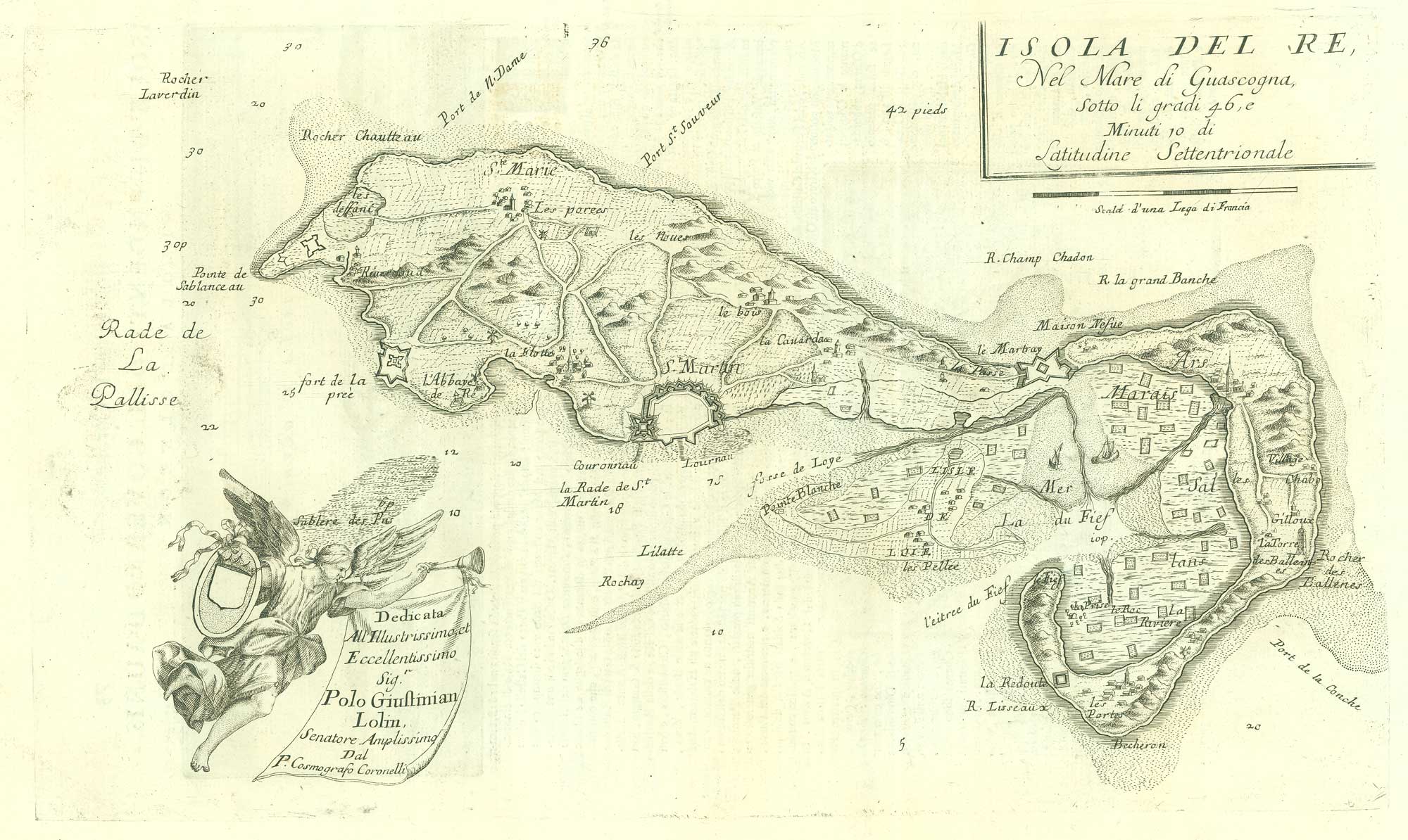
17th century map of the Ile de Ré
CORONELLI, Vincenzo Maria. Date: 1690 Stock #: 19540 £260.00
Add to Wishlist
Add to Wishlist
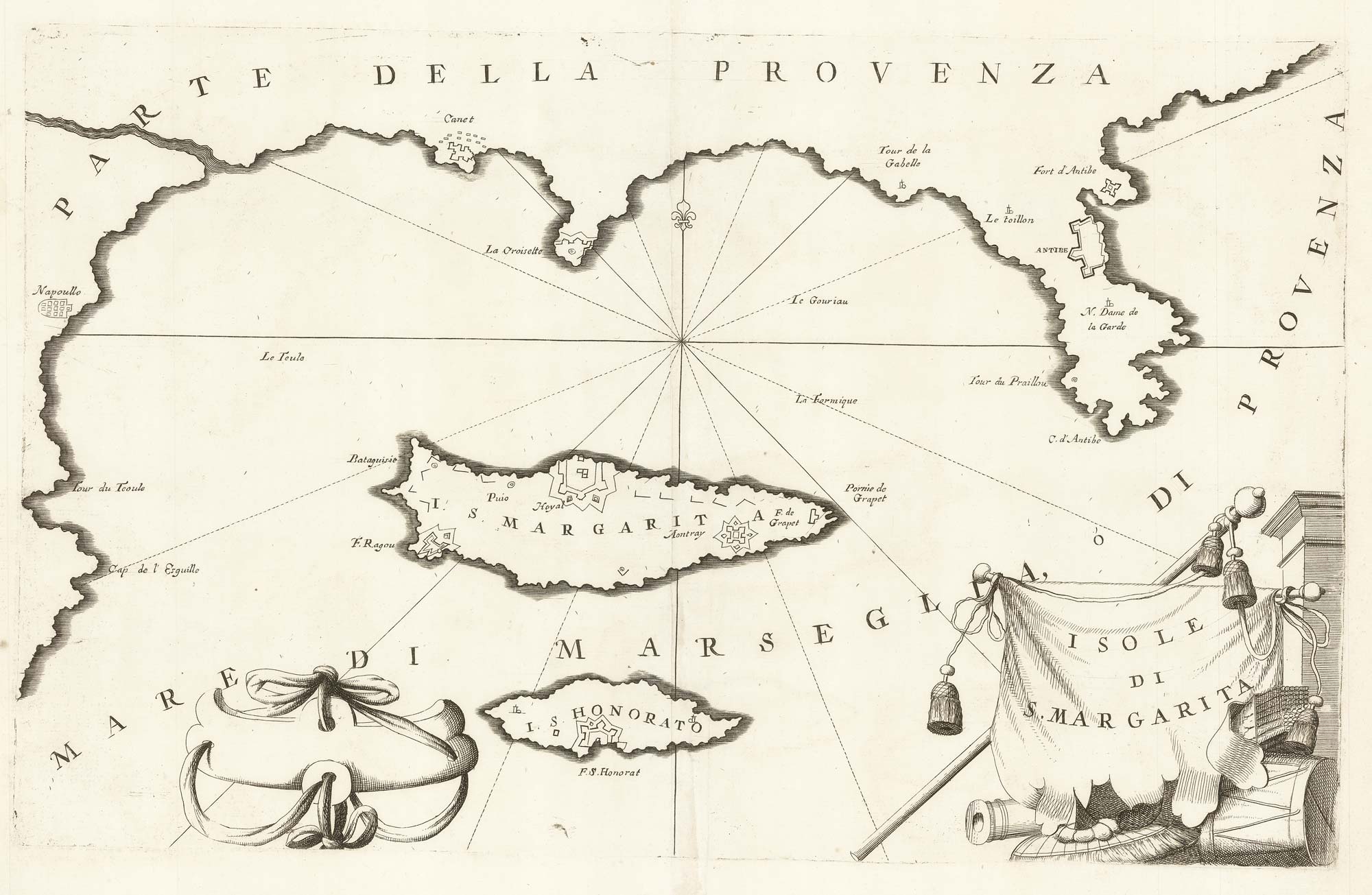
A map of Saint Marguerite with Cannes and Antibes
CORONELLI, Vincenzo Maria. Date: 1690 Stock #: 20625 £280.00
Add to Wishlist
Add to Wishlist
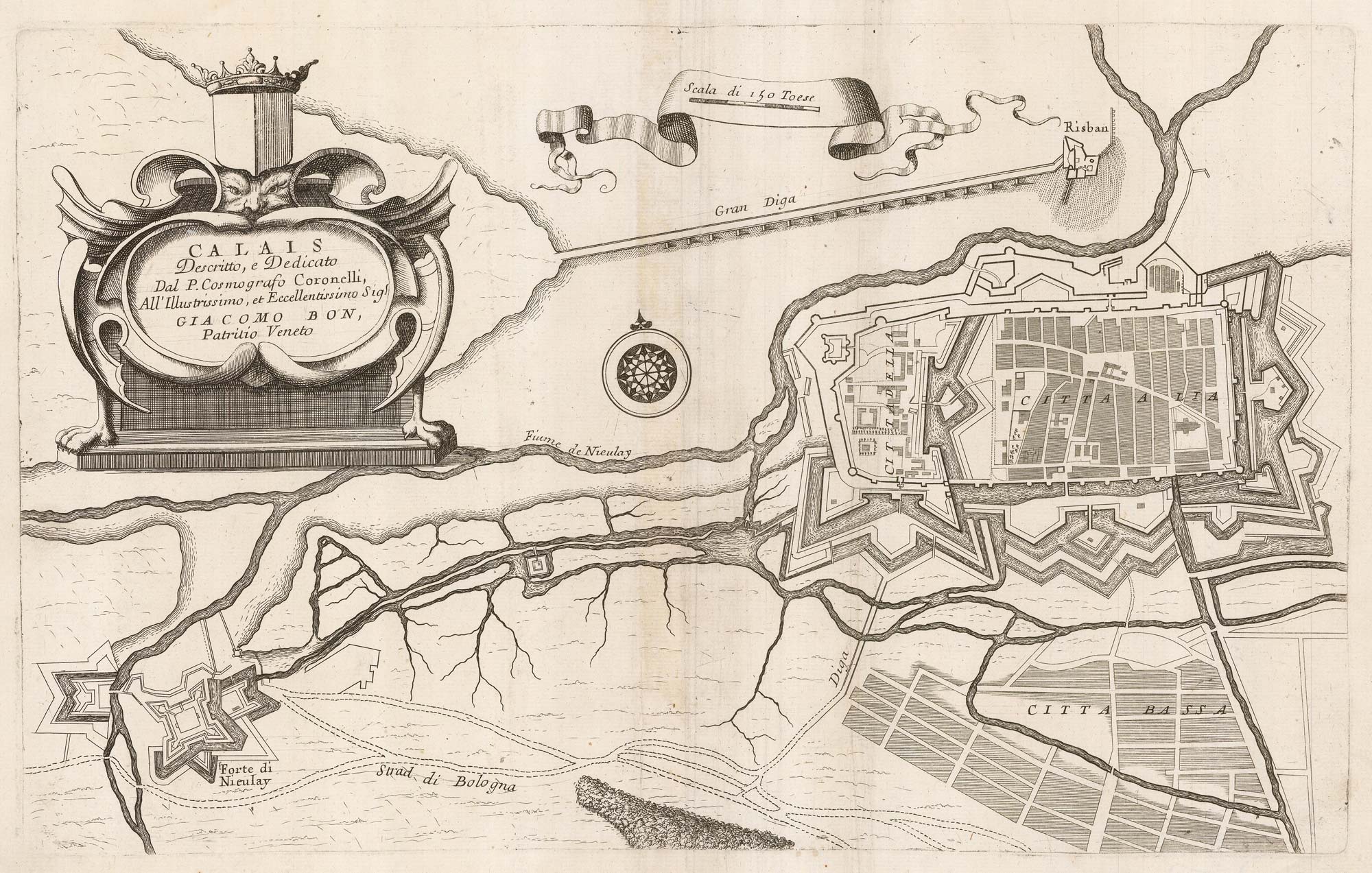
A 17th century plan of the defences of Calais
CORONELLI, Vincenzo Maria. Date: 1689 Stock #: 21662 £280.00
Add to Wishlist
Add to Wishlist
