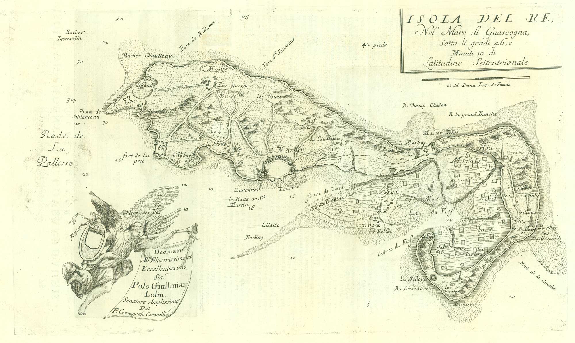


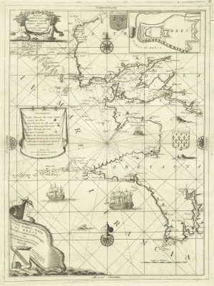
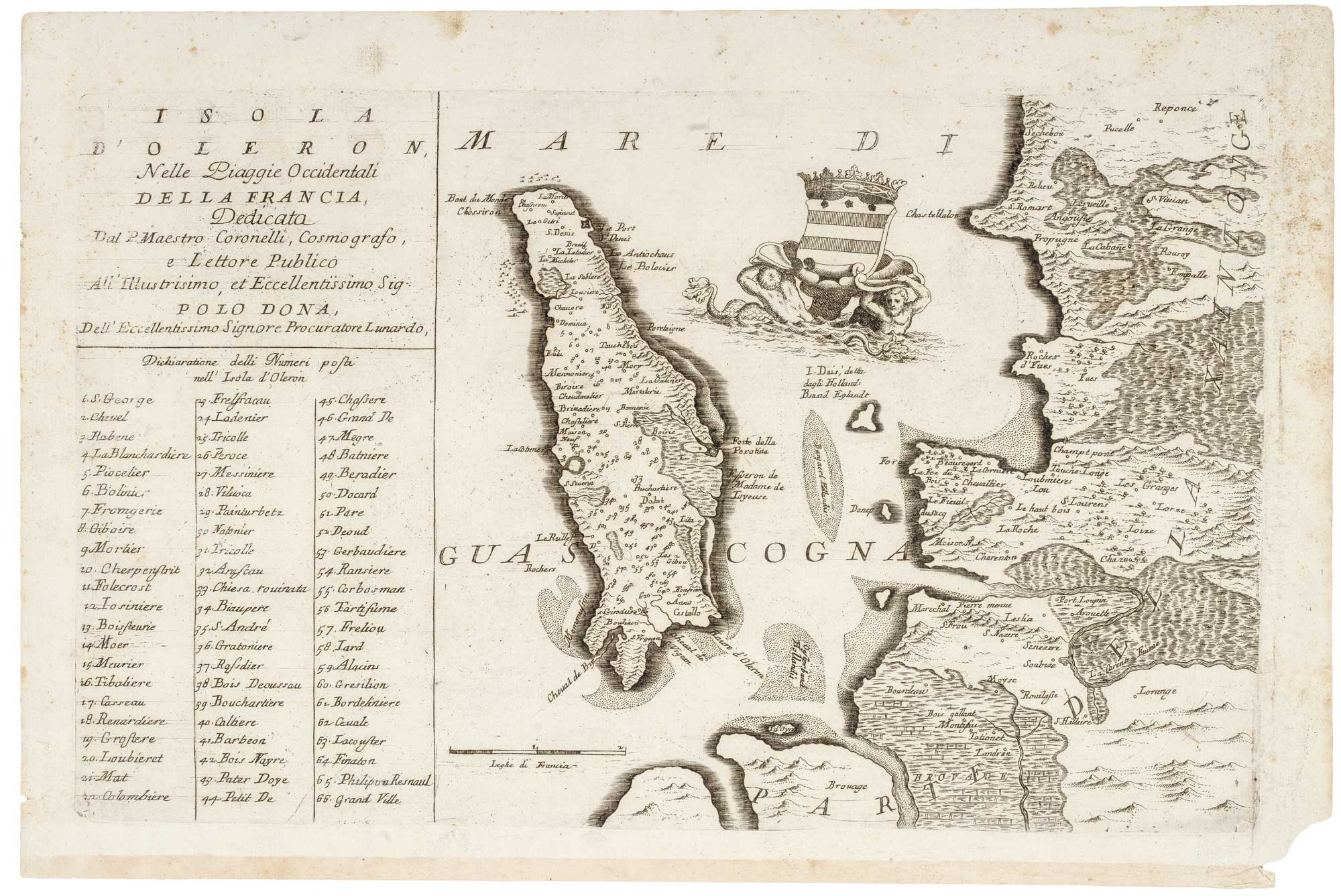
17th century map of the Ile de Ré
Isola del Re Nel Mare di Guascogna...
Venice, 1690. 270 x 460mm.
£260.00
1 in stock
x
Question About This Item?
17th century map of the Ile de Ré & CORONELLI, Vincenzo Maria.Stock #: 19540
Add to Wishlist
Export as PDFEnquireSimilar to Sell?Add to Wishlist
Description
Ile de Ré in Bretagne, located in the Bay of Biscay off the coast of France, from Coronelli's Corso Geografico Universale.
Italian text on verso and a copper engraved panoramic view of "Isola d'Oleron and "La cittadella d'Oleron"
The dedication cartouche is held aloft by a angel blowing on a trumpet.
Condition:
A good example.Related products
-
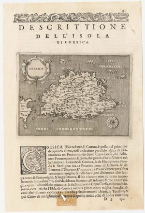
A 16th century map of Corsica
PORCACCHI, Tomaso. Date: 1590Stock #: 23212 £260.00 -
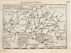
A 16th century miniature map of Lorraine
LANGENES, Barent. Date: 1599Stock #: 21149 £50.00 -
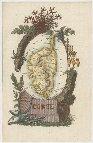
Miniature map of Corsica
PERROT, Aristide Michel. Date: 1824Stock #: 24457 £180.00 -
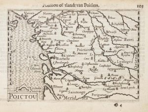
A 16th century miniature map of Poitou
LANGENES, Barent. Date: 1599Stock #: 21134 £60.00 -

A 16th century miniature map of Berry
LANGENES, Barent. Date: 1599Stock #: 21135 £55.00 -
A decorative sea chart of the environs of Brest
CORONELLI, Vincenzo Maria. Date: 1689Stock #: 21213 £550.00 -

A scarce relief plan of the gardens of Versailles
BAUERKELLER et C.ie. Date: 1860Stock #: 20635 £800.00 -
A 16th century miniature map of Franche-Comté
LANGENES, Barent. Date: 1599Stock #: 21141 £50.00 -
Early 18th century map of Normandy in fine colour
VALK, Gerard & Leonard. Date: 1700Stock #: 15399 £250.00
Items by the same author
Add to Wishlist
Add to Wishlist
17th century map of Oleron
CORONELLI, Vincenzo Maria. Date: 1690 Stock #: 21090 £240.00
Add to Wishlist
Add to Wishlist
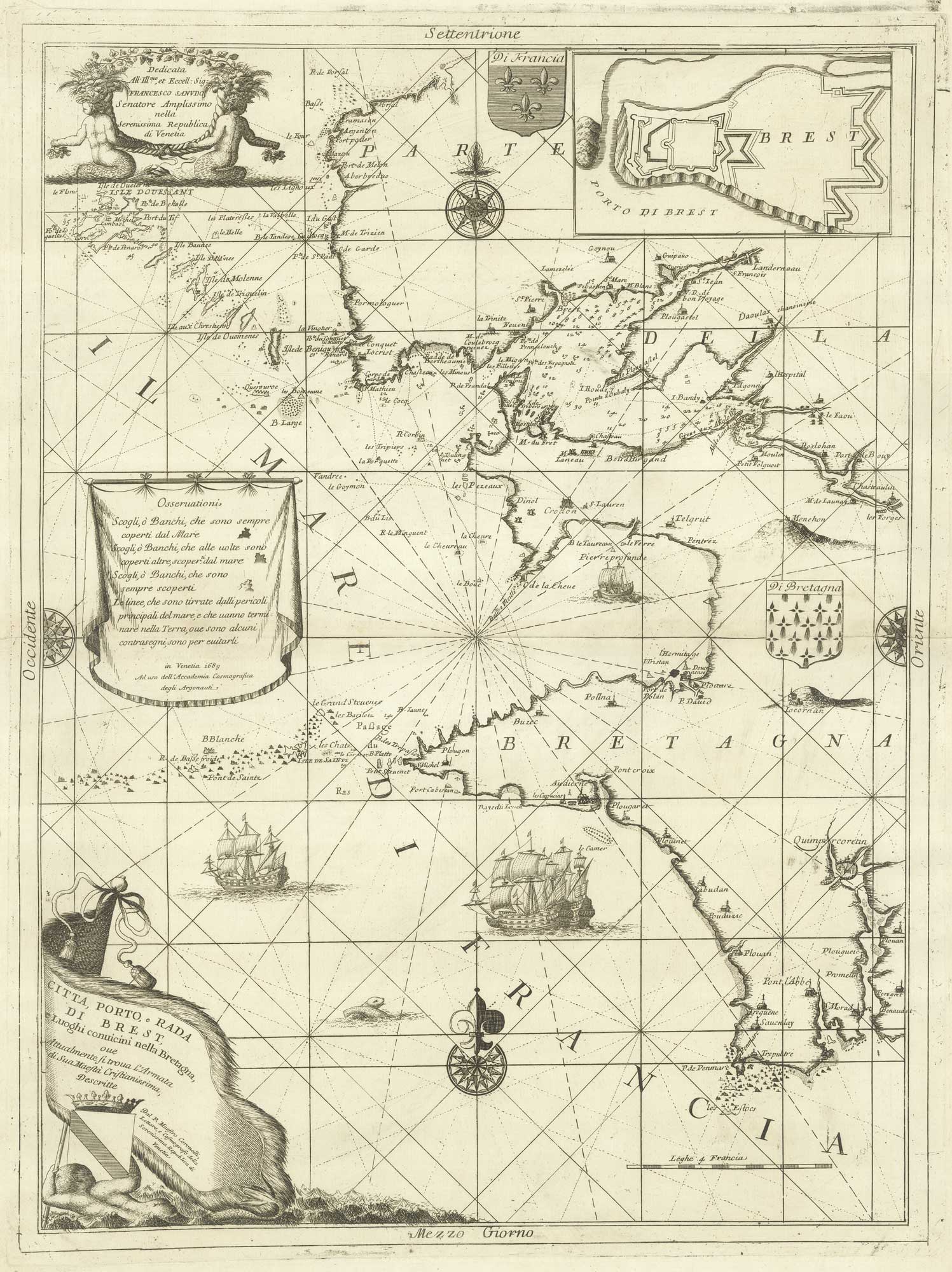
A decorative sea chart of the environs of Brest
CORONELLI, Vincenzo Maria. Date: 1689 Stock #: 21213 £550.00
Add to Wishlist
Add to Wishlist
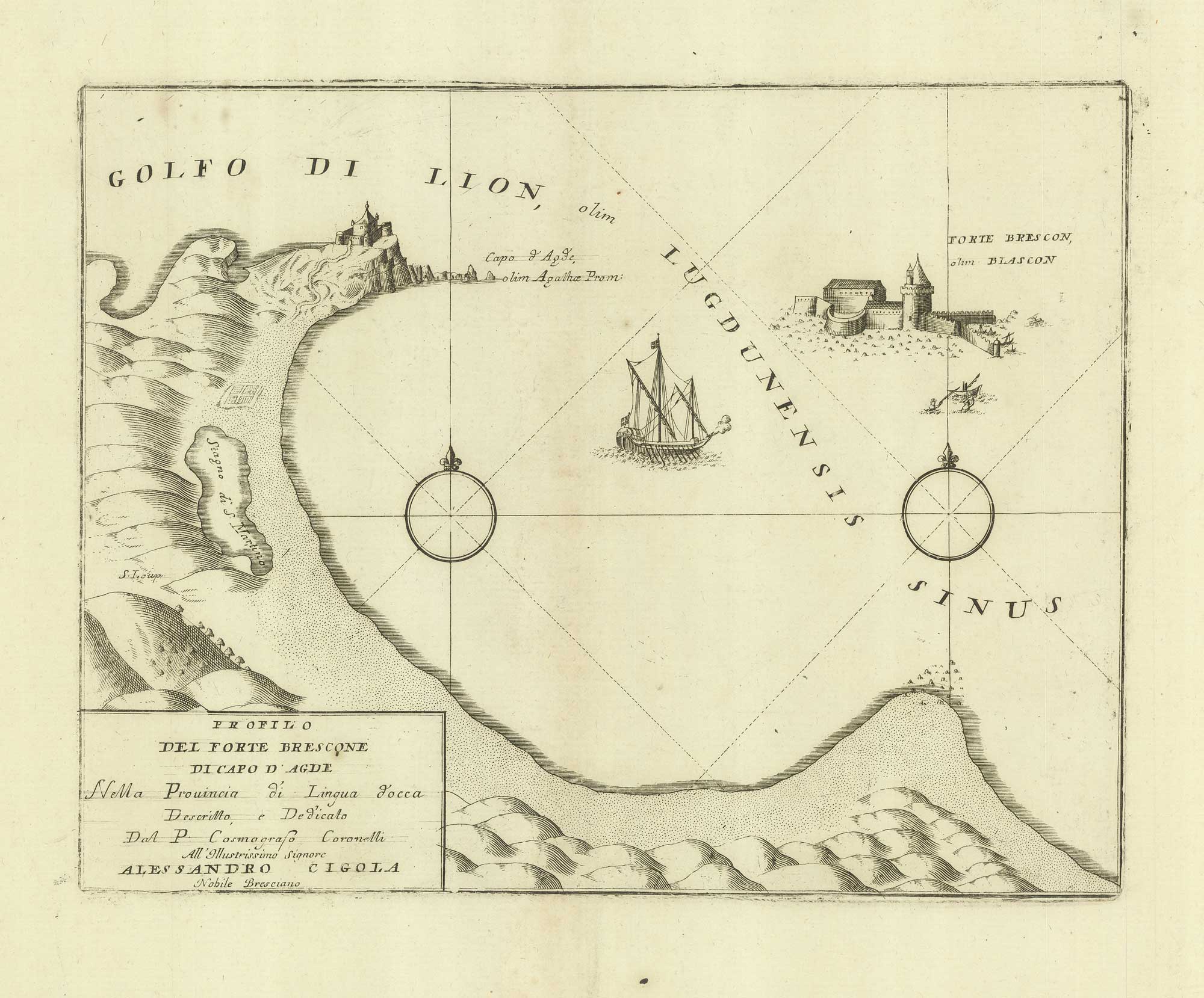
A sketch map of Cap d'Agde and Fort de Brescou
CORONELLI, Vincenzo Maria. Date: 1688 Stock #: 21226 £180.00
Add to Wishlist
Add to Wishlist
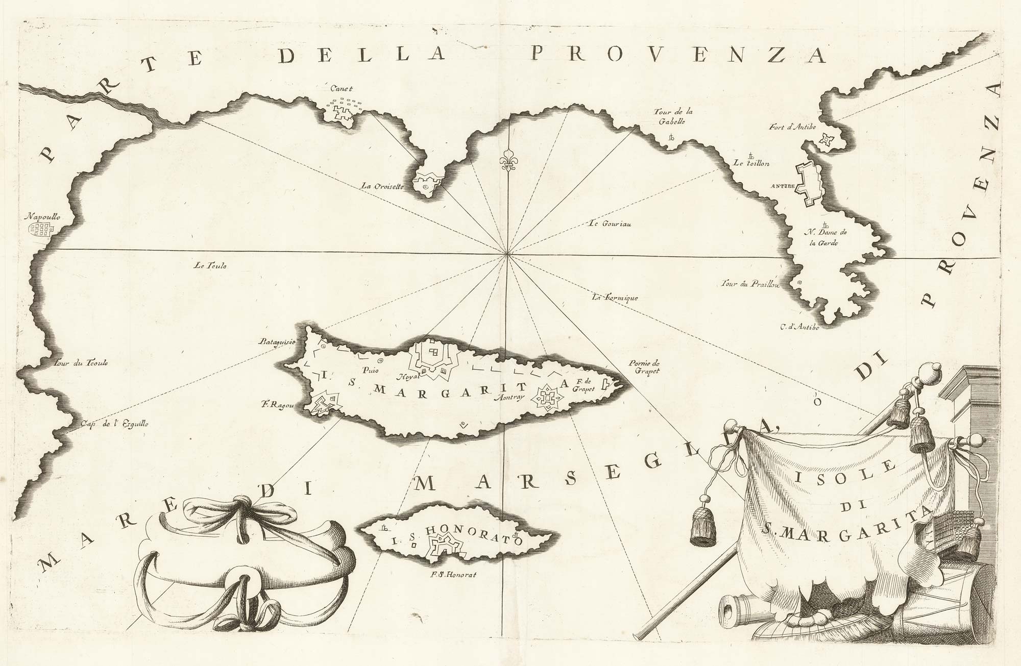
A map of Saint Marguerite with Cannes and Antibes
CORONELLI, Vincenzo Maria. Date: 1690 Stock #: 20625 £280.00
Add to Wishlist
Add to Wishlist
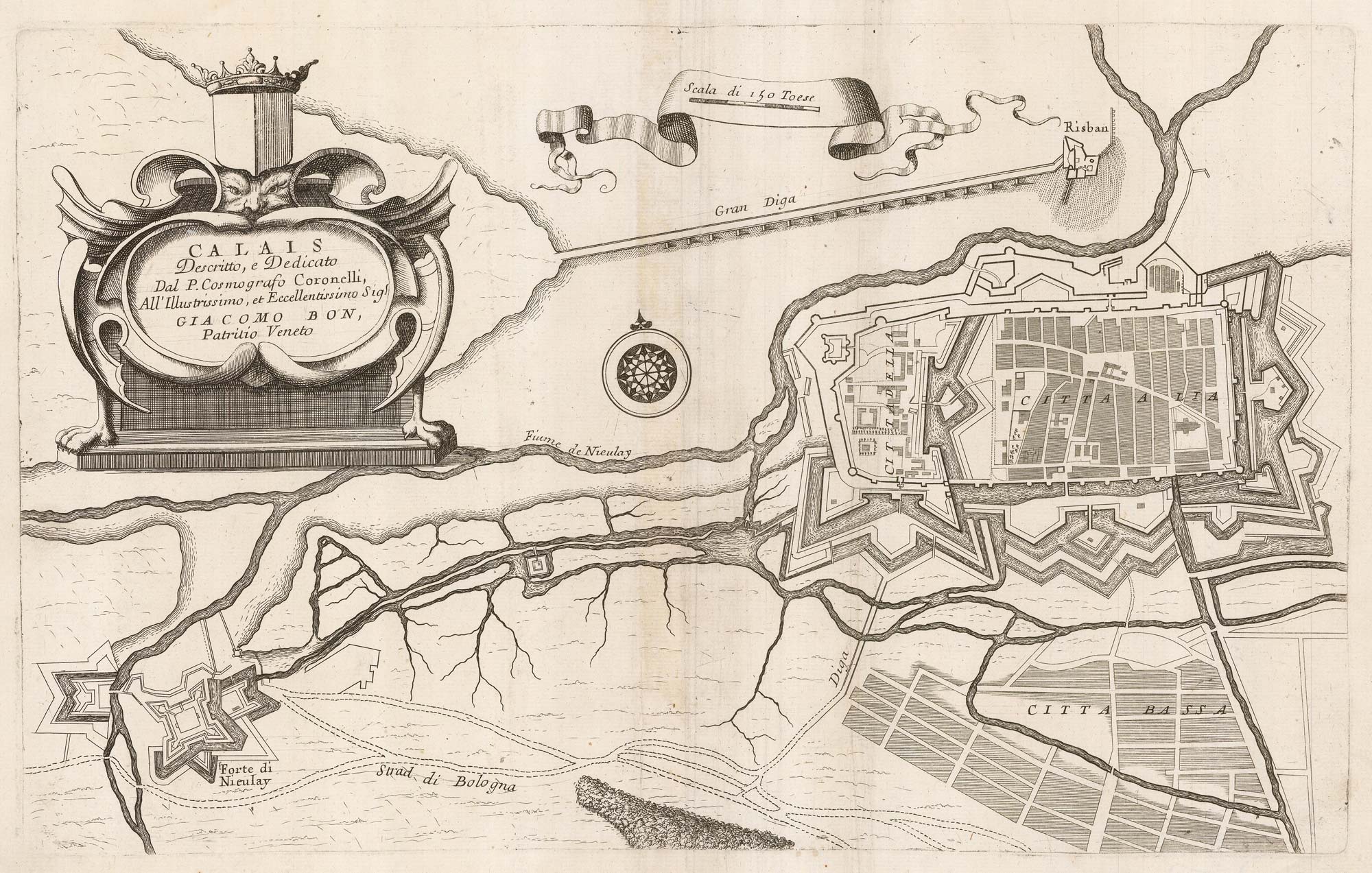
A 17th century plan of the defences of Calais
CORONELLI, Vincenzo Maria. Date: 1689 Stock #: 21662 £280.00
Add to Wishlist
Add to Wishlist
