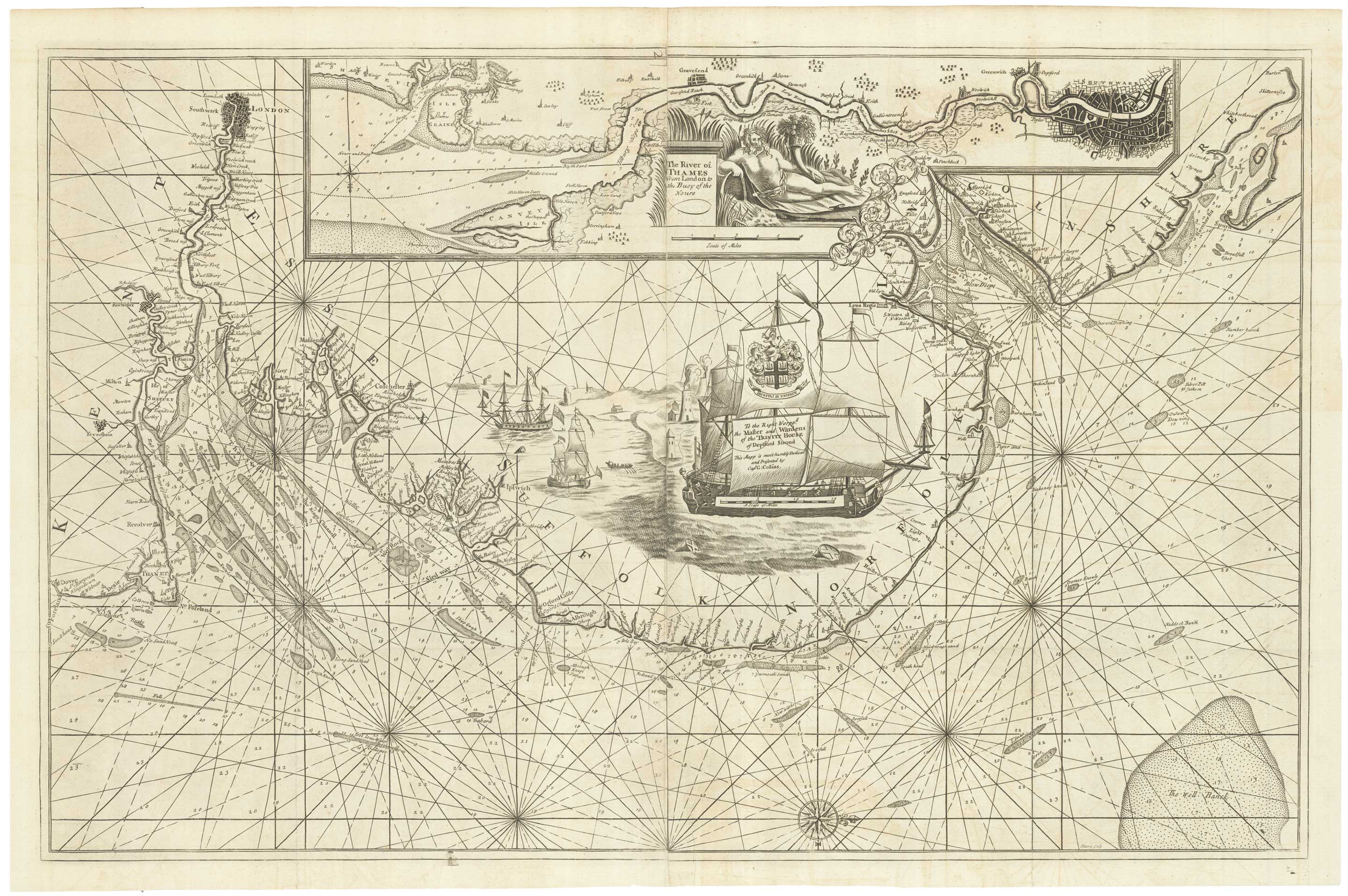


An English 17th century sea-chart of Dover to Spurn Head with the River Thames
The River of Thames from London to the Buoy of the Noure. To the Right Worpp.ll the Master and Wardens of Trinity House of Deptford Strond This Mapp is most humbly Dedicat.d and Presented by Cap.t G. Collins.
London: Mount and Page, c.1740. Two sheets conjoined, total 590 x 930mm.
£1,500.00
1 in stock
x
Question About This Item?
An English 17th century sea-chart of Dover to Spurn Head with the River Thames & COLLINS, Greenvile.Stock #: 25078
Add to Wishlist
Export as PDFEnquireSimilar to Sell?Add to Wishlist
Description
A superb sea chart of the east coast of England from Dover to Spurn Head, orientated with north to the right, showing the Thames to London. Inland East Anglia is filled with a dedication to the Masters and Wardens of Trinity House, depicted on the mast of a warship. An inset at the top of the map shows the Thames to London in greater detail, embellished with an allegorical figure of 'Father Thames' holding a cornucopia.
The chart was engraved by John Harris and first published in 'Great Britain's Coasting Pilot', an atlas of 48 charts of British waters surveyed by Captain Greenvile Collins between 1681-88. Collins, who was made Hydrographer to King Charles II in 1679, was sponsored by Trinity House, the corporation in charge of Britain's lighthouses, buoys and other navigational aids, to whom this chart is dedicated.
Condition:
A good example.Related products
-
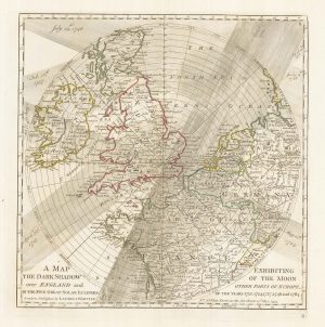
A plan of eclipses over England in the 18th century
DUNN, Samuel. Date: 1797Stock #: 22159 £350.00 -
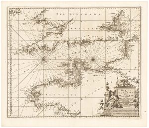
17th century sea chart of the English Channel
VISSCHER, Nicolas. Date: 1698Stock #: 22341 £650.00 -
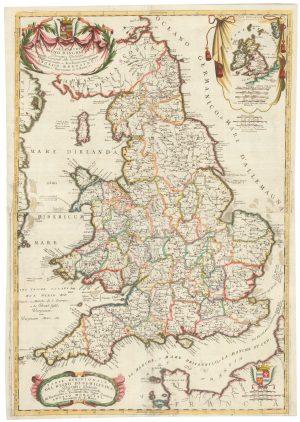
A separate-issue road map of England
VISSCHER, Nicolas. Date: 1694Stock #: 10557 £480.00 -
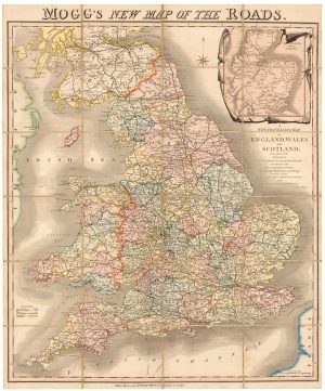
A colourful Georgian map of the roads of England & Wales
MOGG, Edward Slatford. Date: 1838Stock #: 22986 £250.00 -
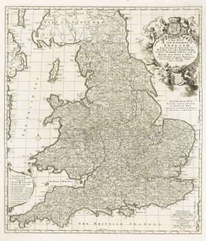
An 17th century two-sheet map of England and Wales
CORONELLI, Vincenzo Maria. Date: 1691Stock #: 21517 £750.00 -
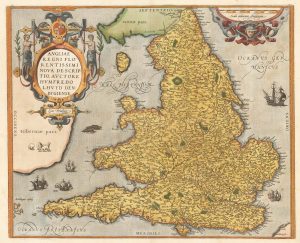
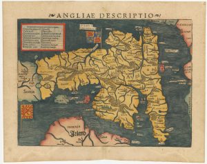
The Ortelius/Lhuyd map of England
ORTELIUS, Abraham. Date: 1584Stock #: 22262 £1,250.00 -

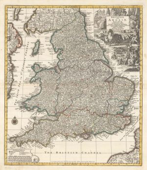
A decorative wall map of England & Wales with panelled borders
SEATON, Robert. Date: 1835Stock #: 25898 -
An early woodcut map of England
MUNSTER, Sebastian. Date: 1572Stock #: 24564 £1,000.00 -
England divided into the Saxon Heptarchy
SEUTTER, Matthaus. Date: 1740Stock #: 22311 £380.00
Items by the same author
Add to Wishlist
Add to Wishlist
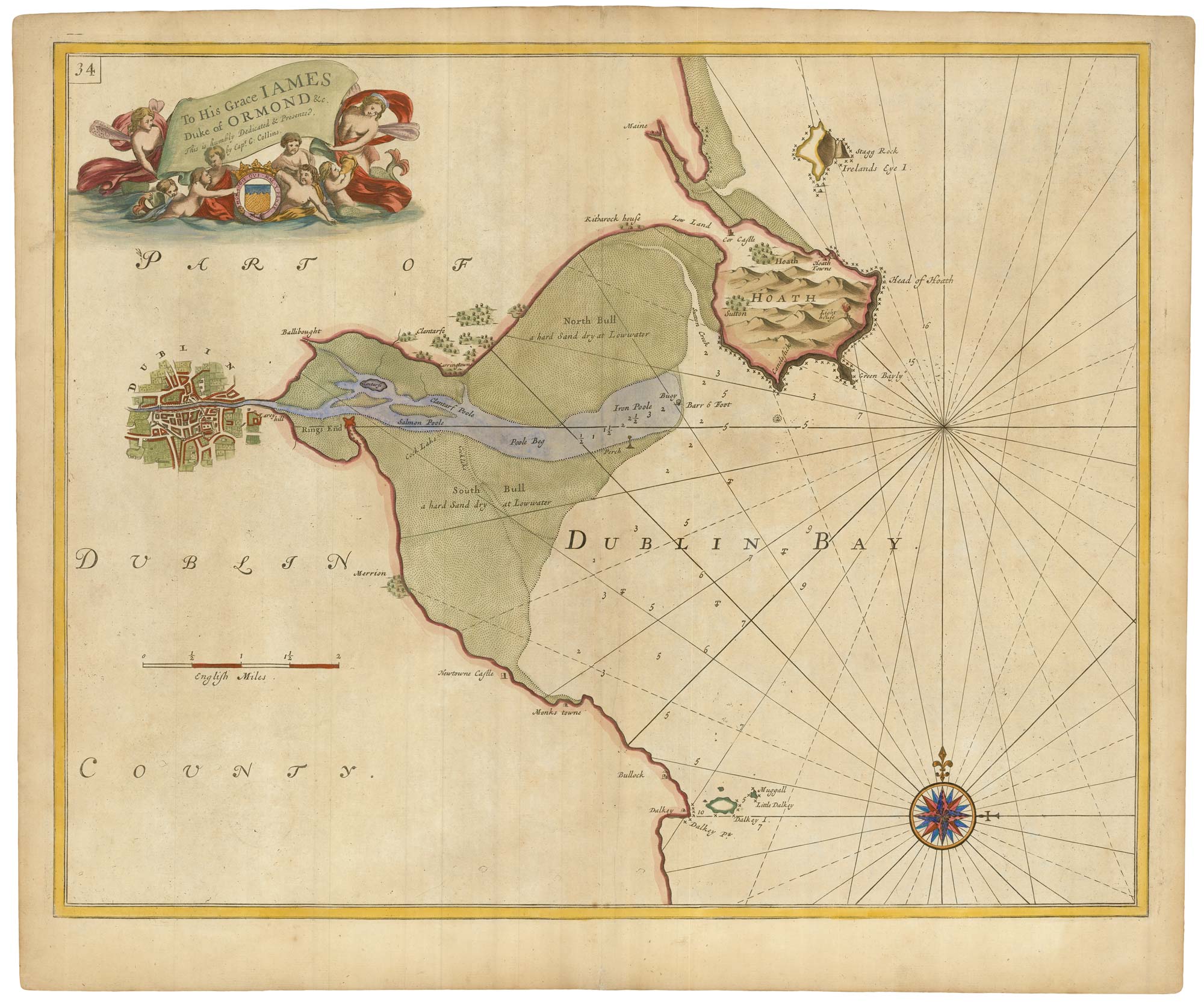
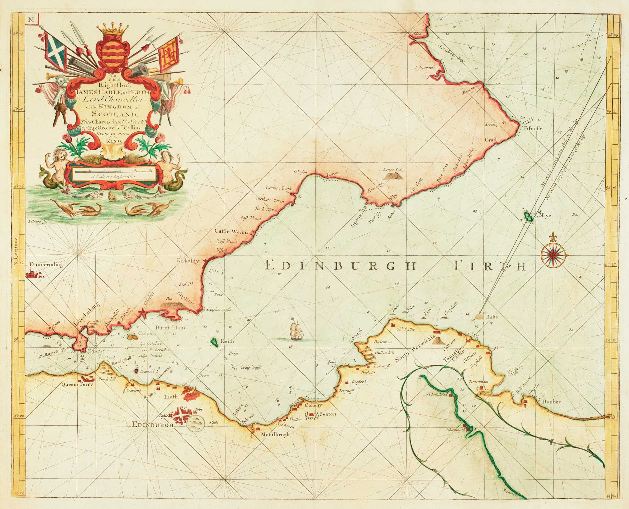
Sea chart of Dublin Bay from the first English sea-atlas
COLLINS, Greenvile. Date: 1693 Stock #: 23156 £550.00
Add to Wishlist
Add to Wishlist
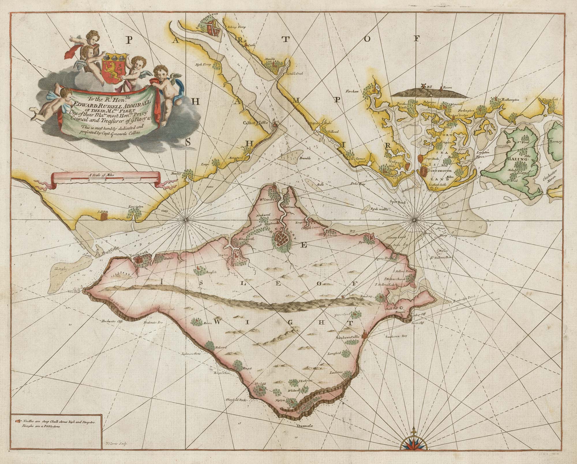
Sea chart of the Isle of Wight from the first English sea-atlas
COLLINS, Greenvile. Date: 1693 Stock #: 21703 £650.00
Add to Wishlist
Add to Wishlist