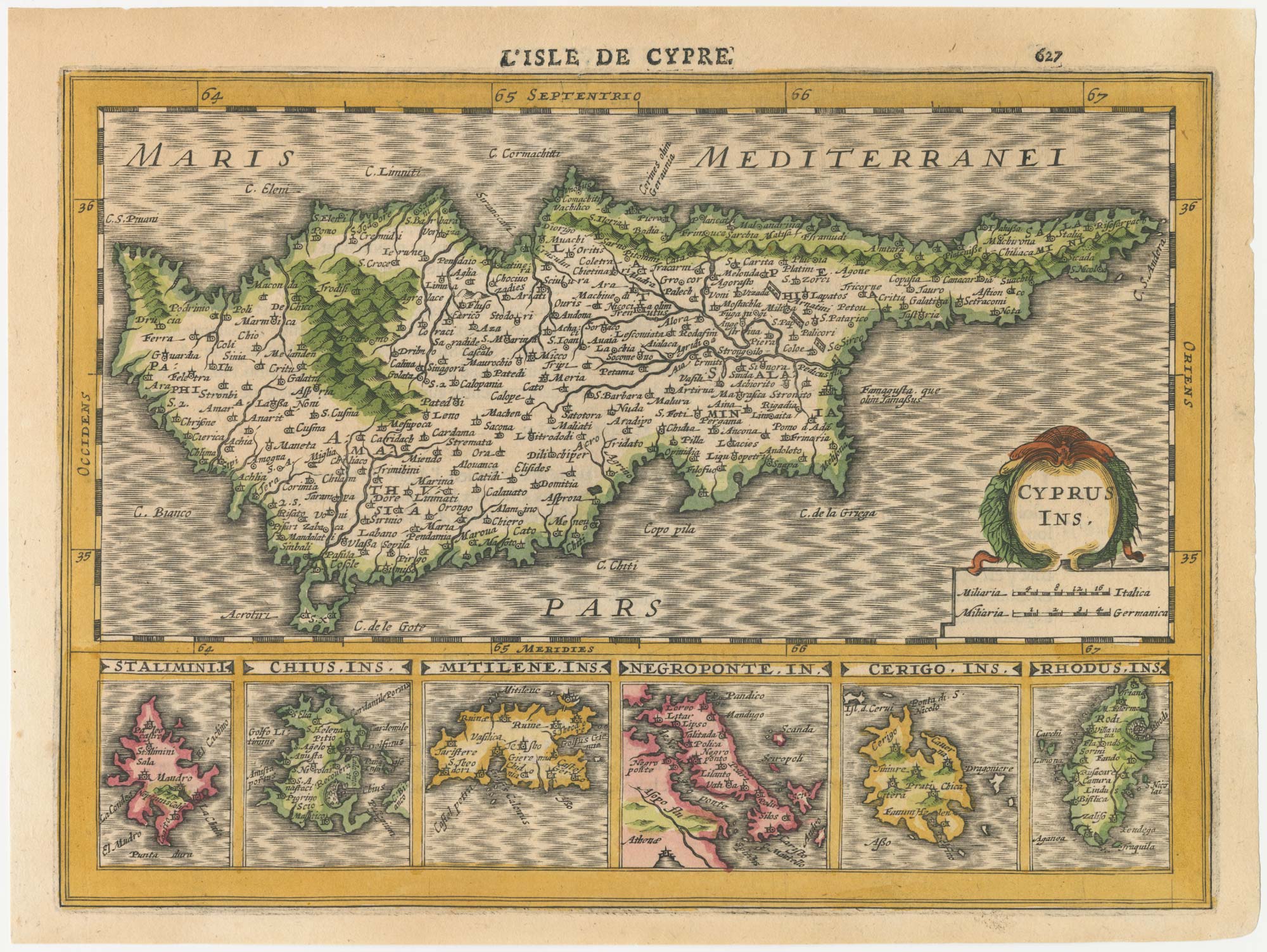


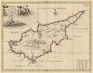
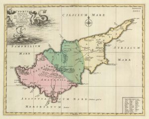
The first issue of a scarce 17th century miniature map of Cyprus
Cyprus Ins.; Stalimini. I; Chius Ins.; Mitilene Ins.; Negroponte In.; Cerigo Ins.; Rhodus Ins.
Amsterdam, 1630, French text edition. Coloured. 255 x 190mm
£720.00
1 in stock
x
Question About This Item?
The first issue of a scarce 17th century miniature map of Cyprus & CLOPPENBURG, Johannes.Stock #: 23014
Add to Wishlist
Export as PDFEnquireSimilar to Sell?Add to Wishlist
Description
A detailed map of Cyprus above six smaller maps of the islands Stalimini (Lemnos), Chius, Mitilene (Lesbos), Negroponte (Euboia), Cerigo (Kythera), and Rhodes.
The map was issued in Cloppenburg's edition of Mercator's 'Atlas Minor', with maps engraved in slightly larger format by Pieter van den Keere.
Condition:
Small tear in top edge skillfully repaired. Fine impression.References:
BAYNTON-WILLIAMS & SCUTARI: 61.1.Related products
-
18th century sea chart of the Mediterranean
SEALE, Richard William. Date: 1745Stock #: 24897 £650.00 -
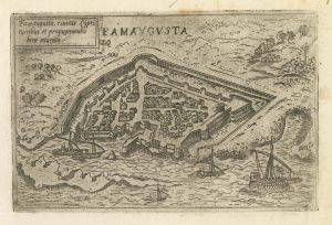
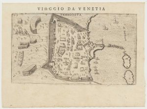
A rare 16th century Italian plan of Famagusta
VALEGIO, Francesco. Date: 1598Stock #: 24148 £950.00 -
A rare edition of the Cyprus map in classical times
MORTIER, Pierre. Date: 1725Stock #: 19732 £2,800.00 -
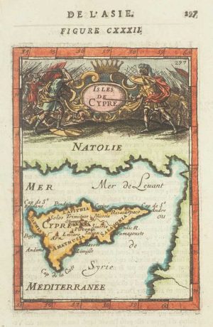
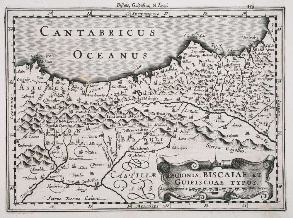
17th century miniature map of Cyprus
MALLET, Alain Manesson. Date: 1683Stock #: 17198 £300.00 -
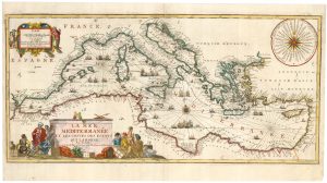
A decorative early 18th century chart of the Mediterranean
FER, Nicolas de. Date: 1654Stock #: 25252 £2,750.00 -
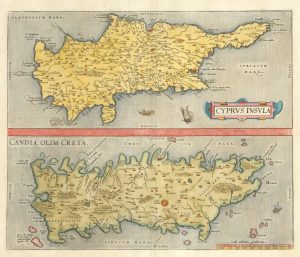
16th century map with Cyprus & Crete
ORTELIUS, Abraham. Date: 1698Stock #: 24407 £900.00 -
A rare map of Cyprus in classical times
MORTIER, Pierre. Date: 1705Stock #: 23552 £3,000.00 -
Uncommon 16th century plan of Famagousta
ROSACCIO, Giuseppe. Date: 1598Stock #: 19741 £1,000.00 -
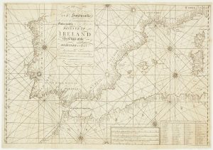
A scarce Irish chart of the Western part of the Mediterranean
GRIERSON, George Date: 1735Stock #: 14456 £2,000.00
Items by the same author
Add to Wishlist
Add to Wishlist
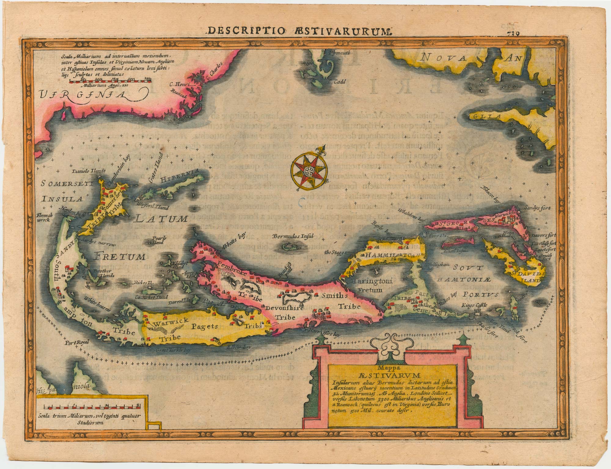
Bermuda from Cloppenburg's edition of Mercator's Atlas
CLOPPENBURG, Johannes. Date: 1632 Stock #: 25072 £850.00
Add to Wishlist
Add to Wishlist
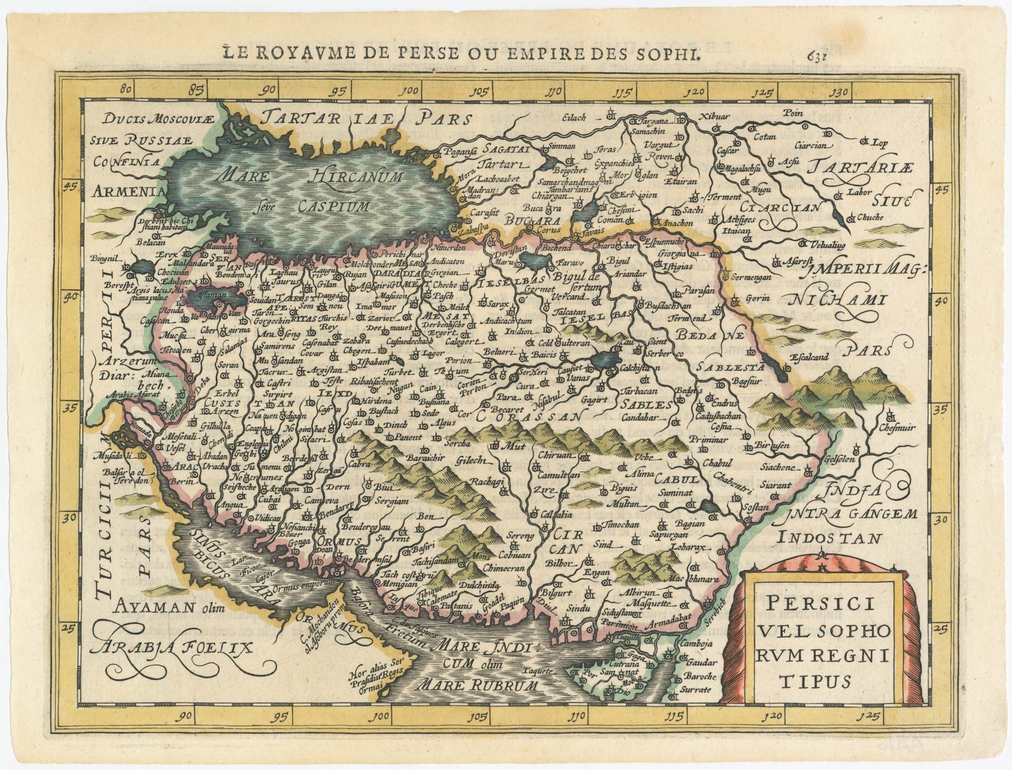
Scarce 17th century map of Persia
CLOPPENBURG, Johannes. Date: 1630 Stock #: 23318 £260.00
Add to Wishlist
Add to Wishlist
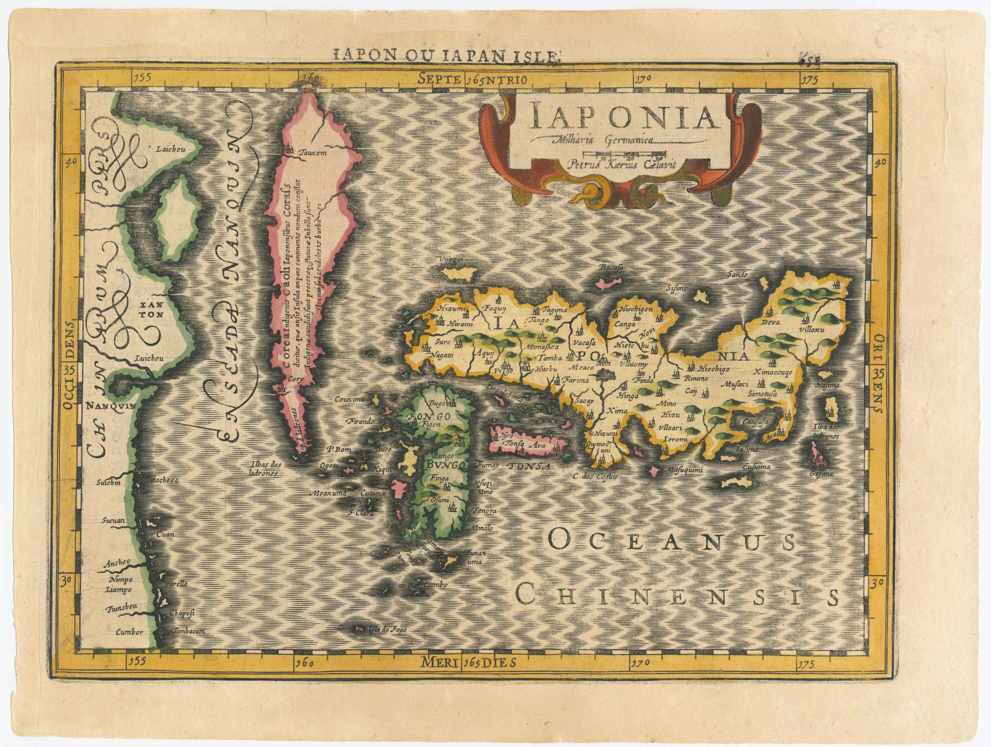
Scarce 17th century map of Japan
CLOPPENBURG, Johannes. Date: 1630 Stock #: 23317 £650.00
Add to Wishlist
Add to Wishlist
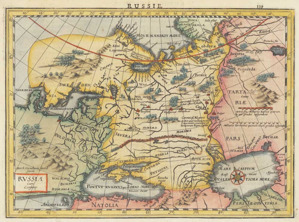
17th century map of Russia
CLOPPENBURG, Johannes. Date: 1630 Stock #: 18813 £380.00
Add to Wishlist
Add to Wishlist