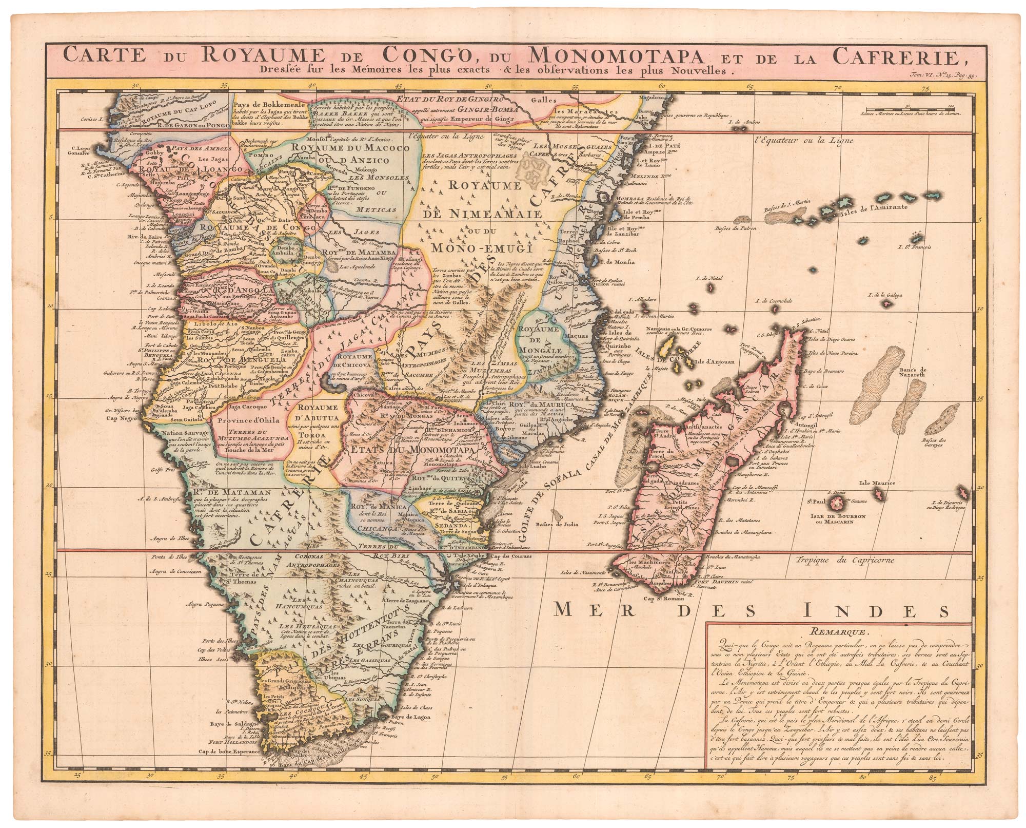


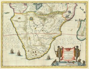
An 18th century map of Africa below the Equator
Carte du Royaume de Congo, du Monomotapa et de la Cafrerie,...
Amsterdam, c.1720, Coloured, 405 x 515mm.
£380.00
1 in stock
x
Question About This Item?
An 18th century map of Africa below the Equator & CHATELAIN, Henri Abraham.Stock #: 22880
Add to Wishlist
Export as PDFEnquireSimilar to Sell?Add to Wishlist
Description
Africa south of the Equator, based on Delisle. In the upper reaches of the Zambezi River gold mines are marked, which have been associated with the myth of Solomon & Ophir, and were the inspiration of Rider Haggard's 'King Solomon's Mines'. A box of descriptive text is located in the bottom right corner. From volume six of Châtelain's monumental 'Atlas Historique'. A fine example.
Condition:
A good example.References:
NORWICH: 165.Related products
-
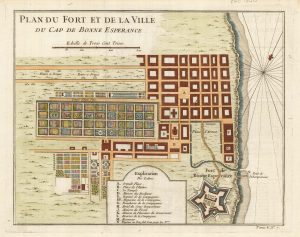
The Dutch Fort at Capetown
BELLIN, Jacques-Nicolas. Date: 1748Stock #: 21999 £160.00 -
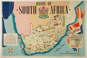
A pictorial map of South Africa from the Second World War
ANDERSON, W. Date: 1943Stock #: 16656 £650.00 -
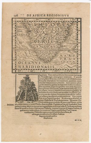
A 16th century woodcut map of Southern Africa
HONTER, Johannes. Date: 1572Stock #: 23059 £200.00 -
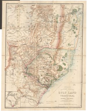
A contemporary military folding map for the Anglo-Zulu War of 1879.
WYLD, James. Date: 1879Stock #: 22989 £650.00 -
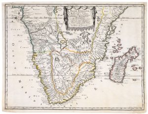
A 17th century French map of Southern Africa
SANSON, Nicolas. Date: 1655Stock #: 20794 £450.00 -
17th century Dutch map of South Africa
JANSSON, Jan. Date: 1807Stock #: 21825 £600.00 -
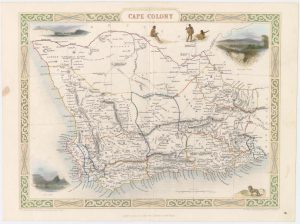
Map of Cape Colony with vignettes
TALLIS, John. Date: 1851Stock #: 18542 £150.00 -
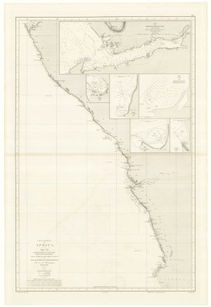
An uncommon Spanish sea chart of Angola, Namibia and South Africa
RIUDAVETS, José Maria. Date: 1870Stock #: 18239 £700.00 -

A decorative map of South Africa
BRION DE LA TOUR, Louis. Date: 1786Stock #: 19597 £165.00
Items by the same author
Add to Wishlist
Add to Wishlist
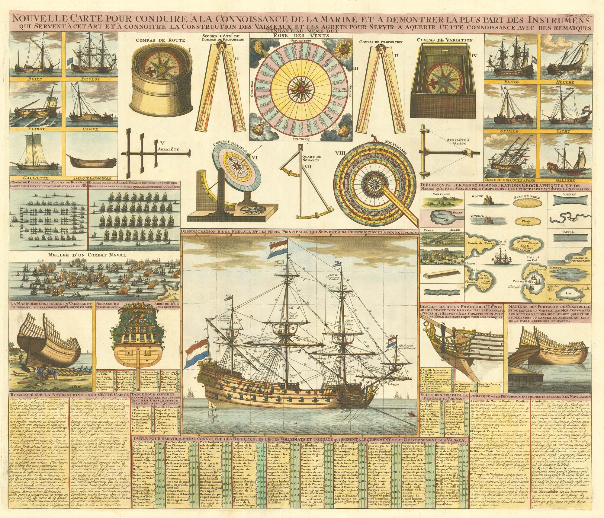
An 18th century maritime explanatory print
CHATELAIN, Henri Abraham. Date: 1720 Stock #: 24154 £1,200.00
Add to Wishlist
Add to Wishlist
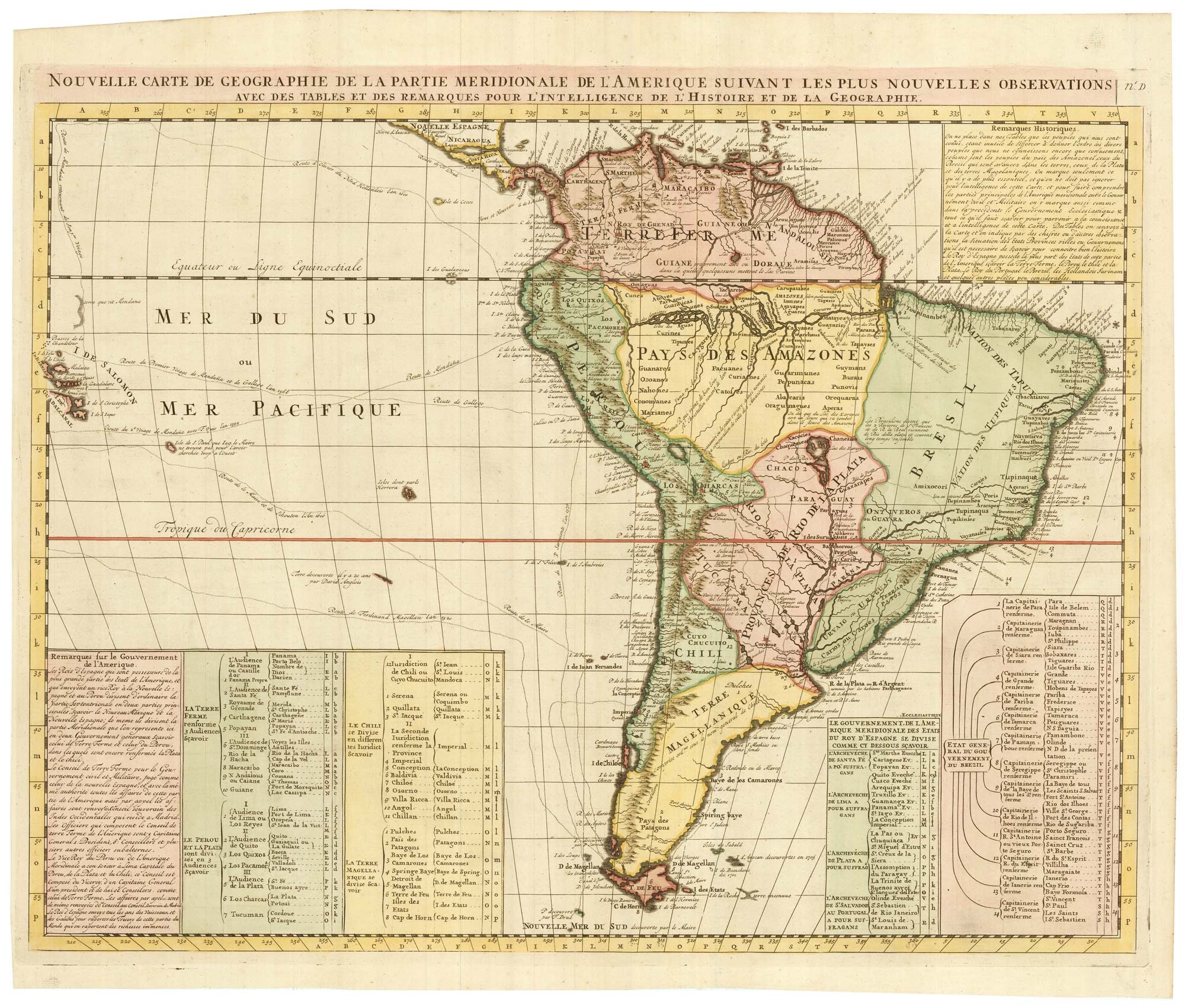
An 18th century map of South America
CHATELAIN, Henri Abraham. Date: 1747 Stock #: 23261 £480.00
Add to Wishlist
Add to Wishlist
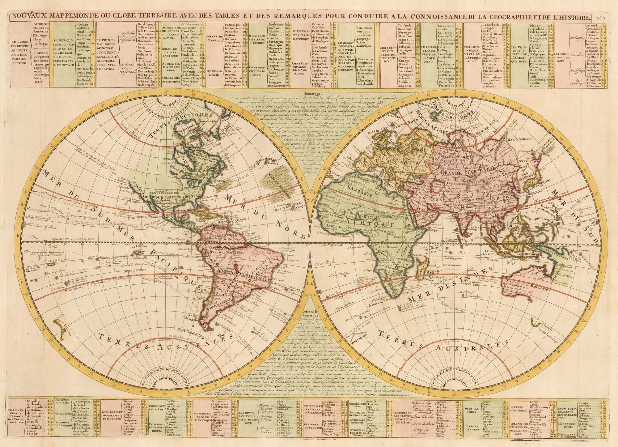
An 18th century double-hemisphere world map
CHATELAIN, Henri Abraham. Date: 1747 Stock #: 23390 £1,000.00
Add to Wishlist
Add to Wishlist
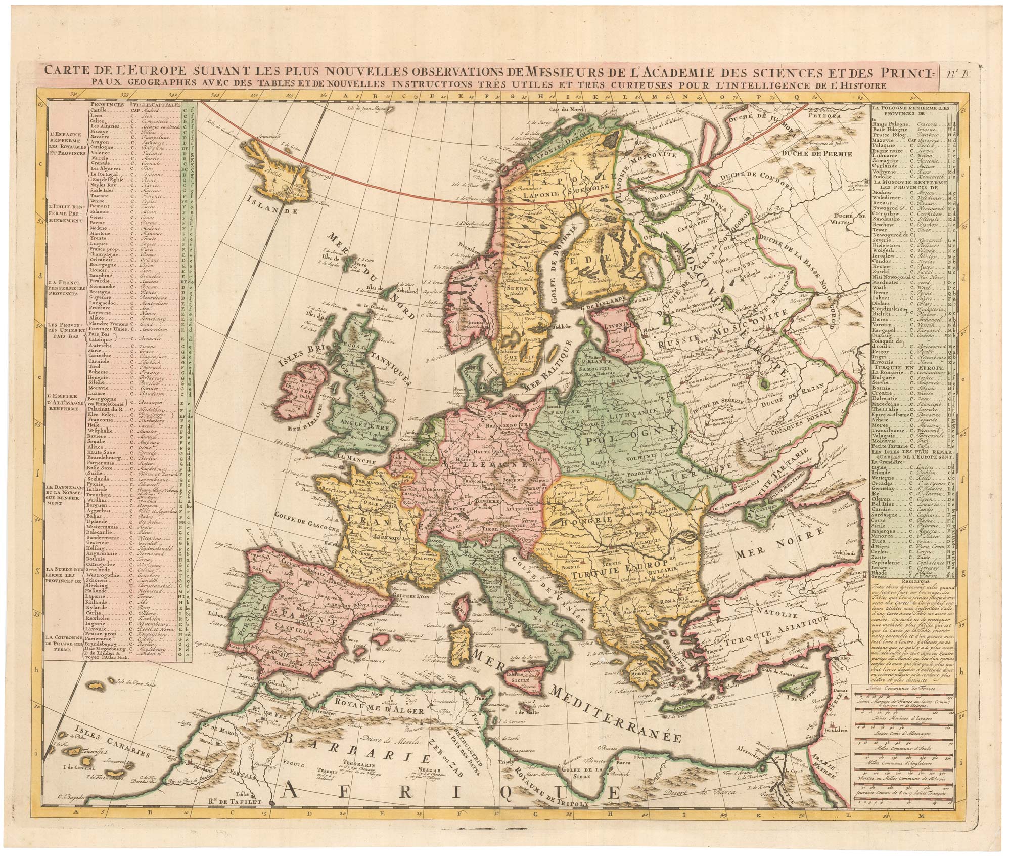
An 18th century map of Europe
CHATELAIN, Henri Abraham. Date: 1747 Stock #: 23391 £500.00
Add to Wishlist
Add to Wishlist
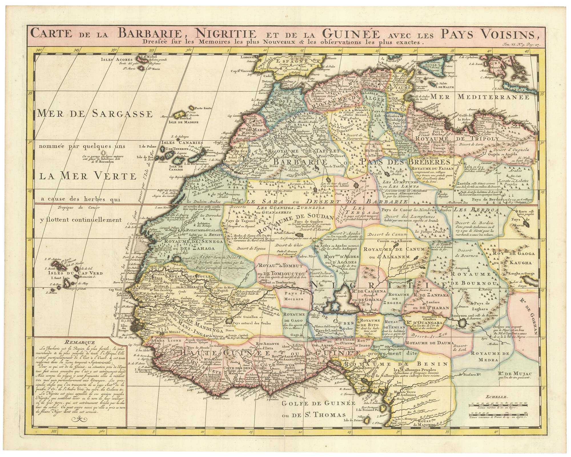
An 18th century map of Northwest Africa
CHATELAIN, Henri Abraham. Date: 1720 Stock #: 22881 £340.00
Add to Wishlist
Add to Wishlist