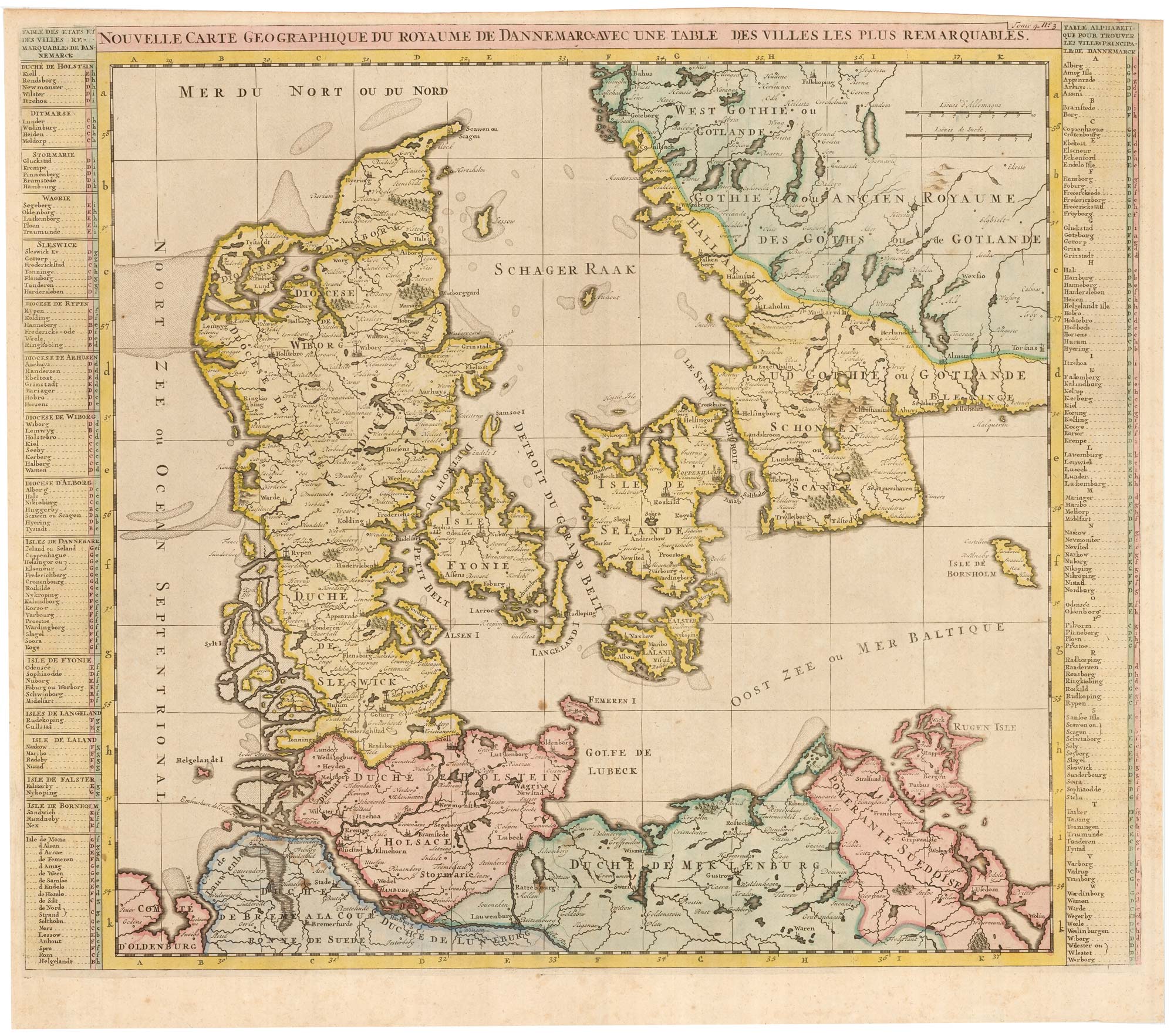


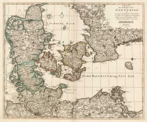
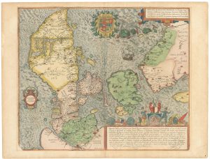
An early 18th century map of Denmark
Nouvelle Carte Geographique du Royaume de Dannemarck avec une table des Villes les Plus Remarquables
Amsterdam, c.1719. Coloured. 415 x 530mm.
£320.00
1 in stock
x
Question About This Item?
An early 18th century map of Denmark & CHATELAIN, Henri Abraham.Stock #: 22887
Add to Wishlist
Export as PDFEnquireSimilar to Sell?Add to Wishlist
Description
A detailed map Denmark, still including Schleswig and Scania in southern Sweden. The map also shows Holstein and Hamburg, and the Baltic coast of Mecklenburg-Western Pomerania.. The map is flanked by two tables of placesnames identifying Danish towns according to a numbered and lettered grid. From volume four of Châtelain's monumental 'Atlas Historique'.
Condition:
Trimmed to plate top right.Related products
-
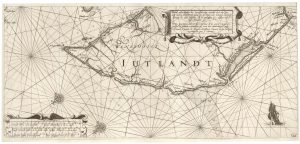
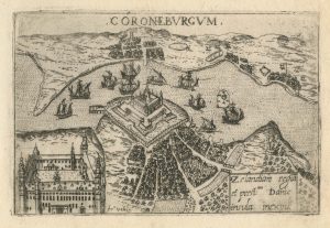
A rare 17th century sea chart of Jutland
JANSSON, Jan. Date: 1620Stock #: 25262 £2,000.00 -
Map of Denmark
WILKINSON, Robert. Date: 1828Stock #: 17580 £50.00 -
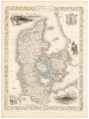
A mid 19th century map of Denmark with decorative vignettes
TALLIS, John. Date: 1851Stock #: 21622 £125.00 -
Scarce map of Denmark
WALCH, Johann. Date: 1820Stock #: 21119 £400.00 -
An early 19th century map of Denmark in fine colour
LAURIE & WHITTLE. Date: 1801Stock #: 22819 £160.00 -
The third Ortelius map of Denmark
ORTELIUS, Abraham. Date: 1574Stock #: 25269 £600.00 -
A 16th century town plan of Helsingor
VALEGIO, Francesco. Date: 1598Stock #: 24200 £160.00 -
A superb 16th century map of Denmark
JORDAN, Mark. Date: 1588Stock #: 23838 £2,000.00 -
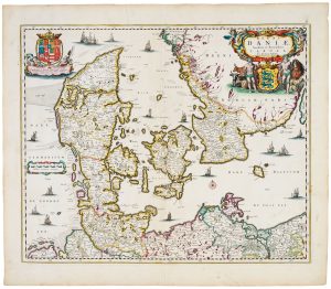
17th century map of Denmark
VISSCHER, Nicolas Jansz. Date: 1670Stock #: 20730 £475.00
Items by the same author
Add to Wishlist
Add to Wishlist
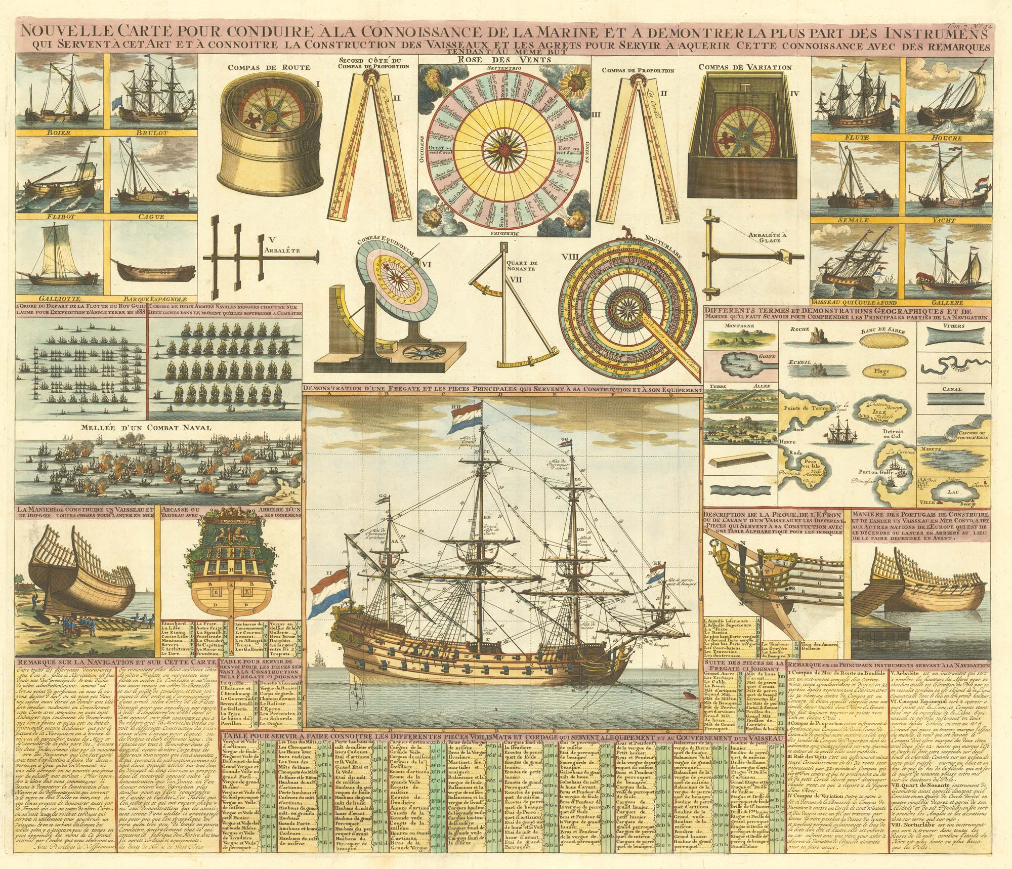
An 18th century maritime explanatory print
CHATELAIN, Henri Abraham. Date: 1720 Stock #: 24154 £1,200.00
Add to Wishlist
Add to Wishlist
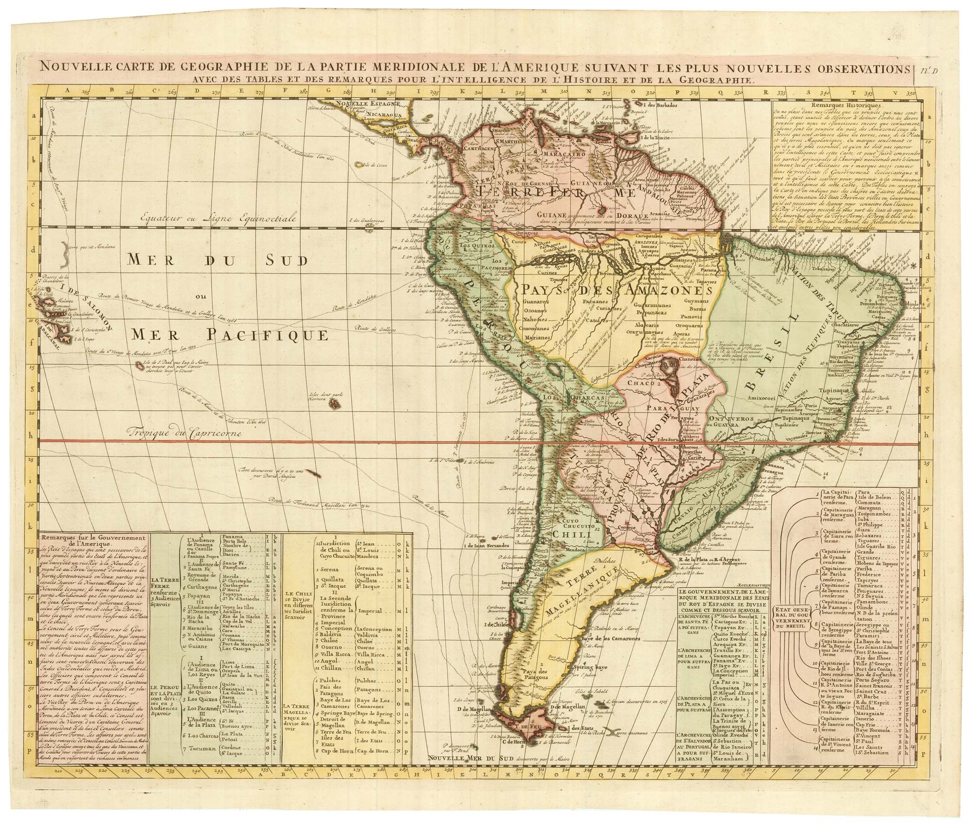
An 18th century map of South America
CHATELAIN, Henri Abraham. Date: 1747 Stock #: 23261 £480.00
Add to Wishlist
Add to Wishlist
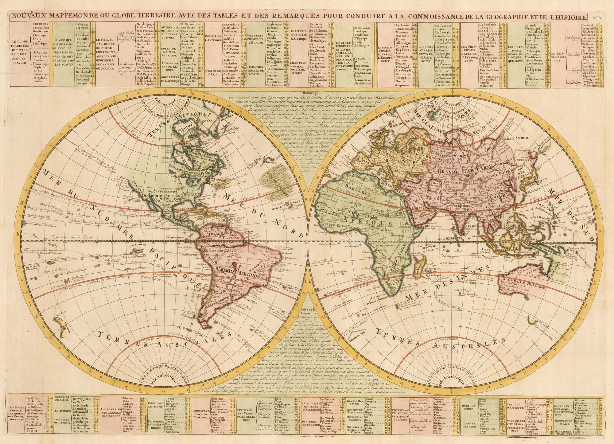
An 18th century double-hemisphere world map
CHATELAIN, Henri Abraham. Date: 1747 Stock #: 23390 £1,000.00
Add to Wishlist
Add to Wishlist
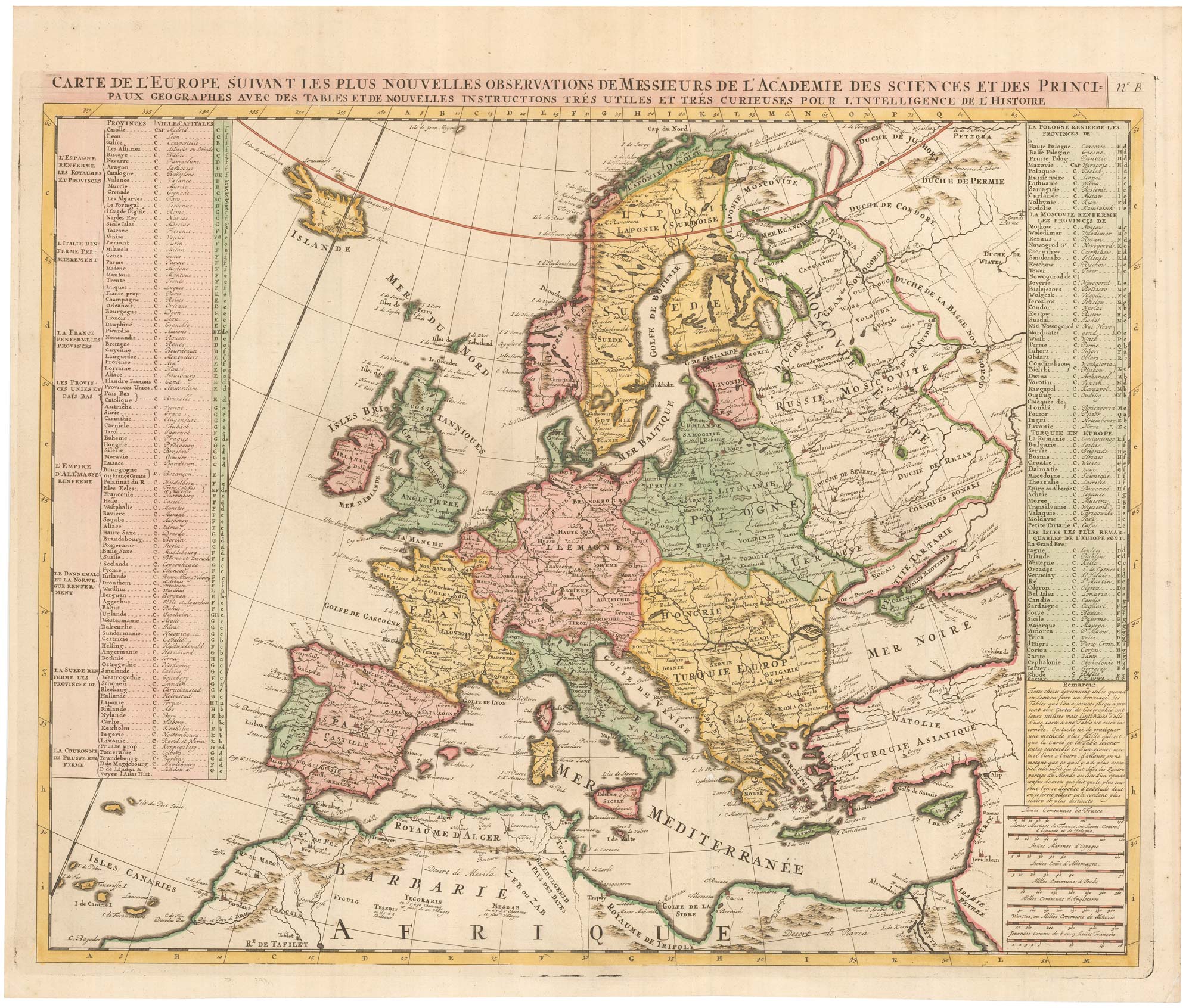
An 18th century map of Europe
CHATELAIN, Henri Abraham. Date: 1747 Stock #: 23391 £500.00
Add to Wishlist
Add to Wishlist
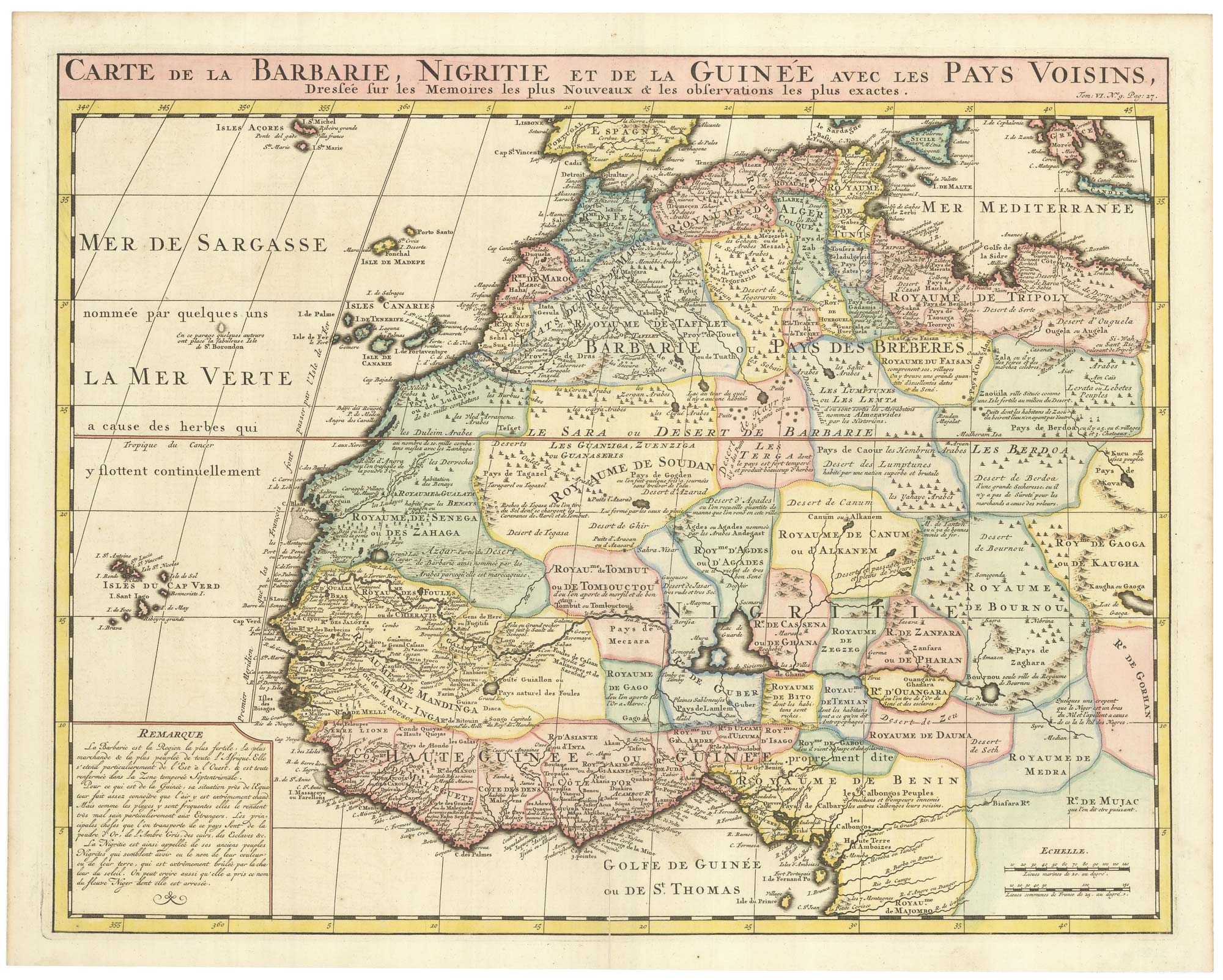
An 18th century map of Northwest Africa
CHATELAIN, Henri Abraham. Date: 1720 Stock #: 22881 £340.00
Add to Wishlist
Add to Wishlist