


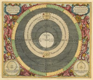
17th century chart of the planetary orbits according to Brahe
Tychonis Brahe Calculus, Planetarum Cursus et Altitudines Oboculos Ponens.
Amsterdam, Schenk & Valk, 1708. Original colour with additions. 440 x 515mm.
£950.00
1 in stock
x
Question About This Item?
17th century chart of the planetary orbits according to Brahe & CELLARIUS, Andreas.Stock #: 25341
Add to Wishlist
Export as PDFEnquireSimilar to Sell?Add to Wishlist
Description
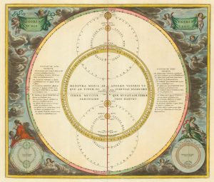
A chart of the planetary orbits according to Tycho Brahe: the Earth is at the centre of the Solar System with the Sun orbiting it, and the other planets orbiting the sun.
Brahe (1546-1601) admired Copernicus but could not accept his geocentric Solar System. This compromise between the Ptolemaic and Copernican systems was published before the Church declared that the heliocentric model sacriligious in 1616.
This chart was published in the 'Atlas Coelestis; seu Harmonia Macrocosmica', the only celestial atlas to be produced in the Netherlands before the nineteenth century. It was a compilation of maps of the Ptolemaic universe and the more modern theories of Copernicus and Brahe, and remains the finest and most highly decorative celestial atlas ever produced. It was originally published by Jan Jansson in 1660: this chart comes from Schenk & Valk's reissue.
Condition:
Minor restorationReferences:
KOEMAN: Cel 3.Related products
-
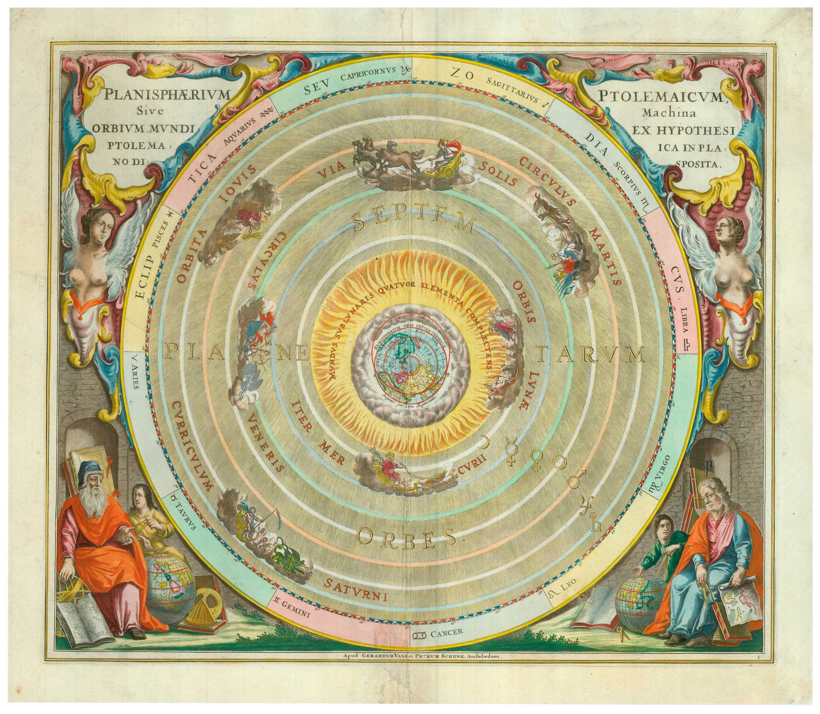
A 17th century celestial chart showing the Ptolemaic planetary orbits
CELLARIUS, Andreas. Date: 1708Stock #: 22133 £1,000.00 -
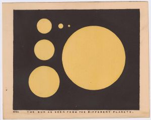
Chart of the Sun
BLUNT, Charles F. Date: 1845Stock #: 24357 £175.00 -
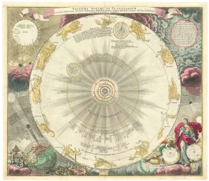
Decorative chart of the Solar System
DOPPELMAYR, Johann Gabriel. Date: 1742Stock #: 24883 £1,500.00 -
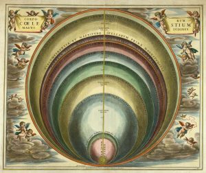
17th century chart comparing the sizes of the planets & celestial bodies
CELLARIUS, Andreas. Date: 1708Stock #: 25337 £2,200.00 -
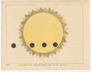
A 19th century chart of the transit of Venus across the Sun.
BLUNT, Charles F. Date: 1845Stock #: 24317 £175.00 -
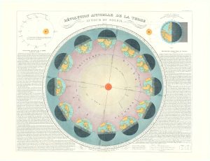
Diagram of the Solar Year
NICOLETT, H. Date: 1877Stock #: 20602 £550.00 -
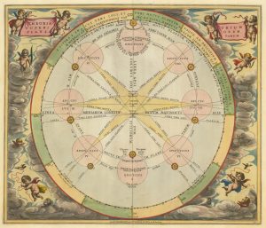
Chart of the apparent motions of Mars, Jupiter & Saturn
CELLARIUS, Andreas. Date: 1708Stock #: 22138 £1,000.00 -
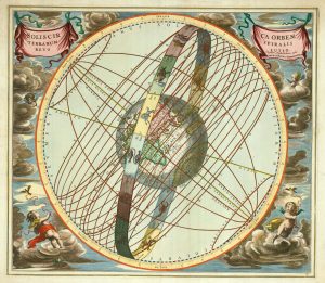
The apparent path of the Sun around the Earth
CELLARIUS, Andreas. Date: 1708Stock #: 25343 £2,700.00 -
A celestial chart of the paths of Venus & Mercury
CELLARIUS, Andreas. Date: 1660Stock #: 22139 £800.00
Items by the same author
Add to Wishlist
Add to Wishlist

The southern celestial hemisphere
CELLARIUS, Andreas. Date: 1708 Stock #: 25348 £4,000.00
Add to Wishlist
Add to Wishlist
Ptolemy's model of the Solar System
CELLARIUS, Andreas. Date: 1708 Stock #: 24597 £3,300.00
Add to Wishlist
Add to Wishlist

The Earth in Tycho Brahe's Solar System
CELLARIUS, Andreas. Date: 1708 Stock #: 25344 £2,800.00
Add to Wishlist
Add to Wishlist

17th century chart of the Geocentric Solar System
CELLARIUS, Andreas. Date: 1708 Stock #: 25345 £2,500.00
Add to Wishlist
Add to Wishlist
