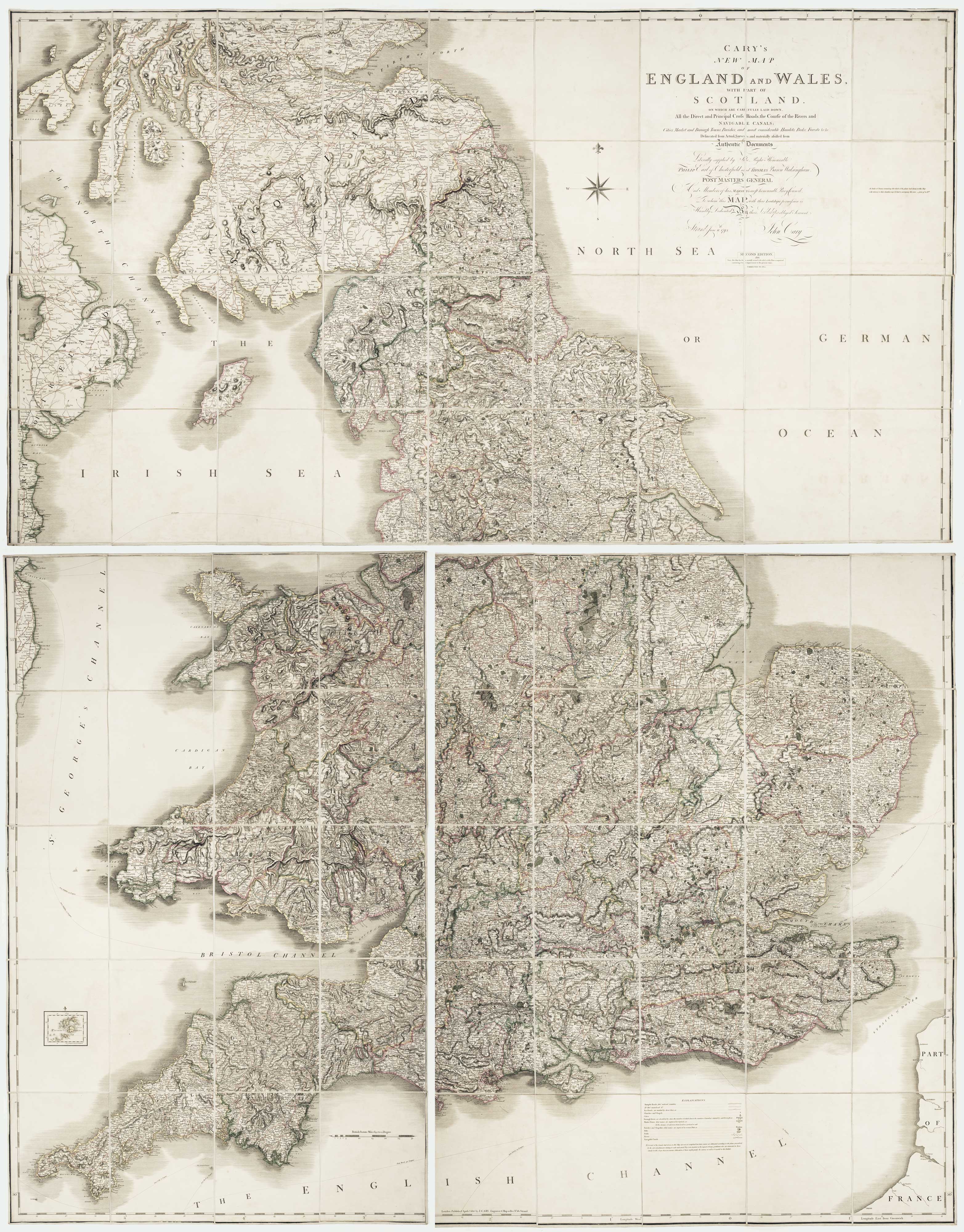


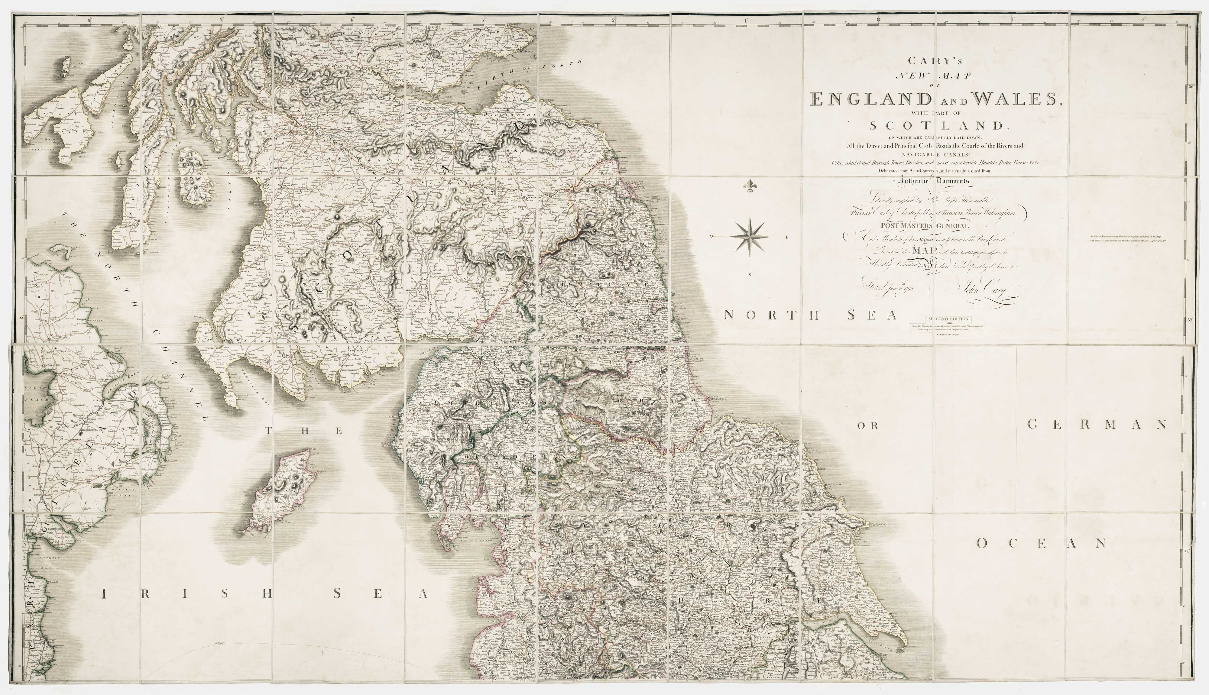
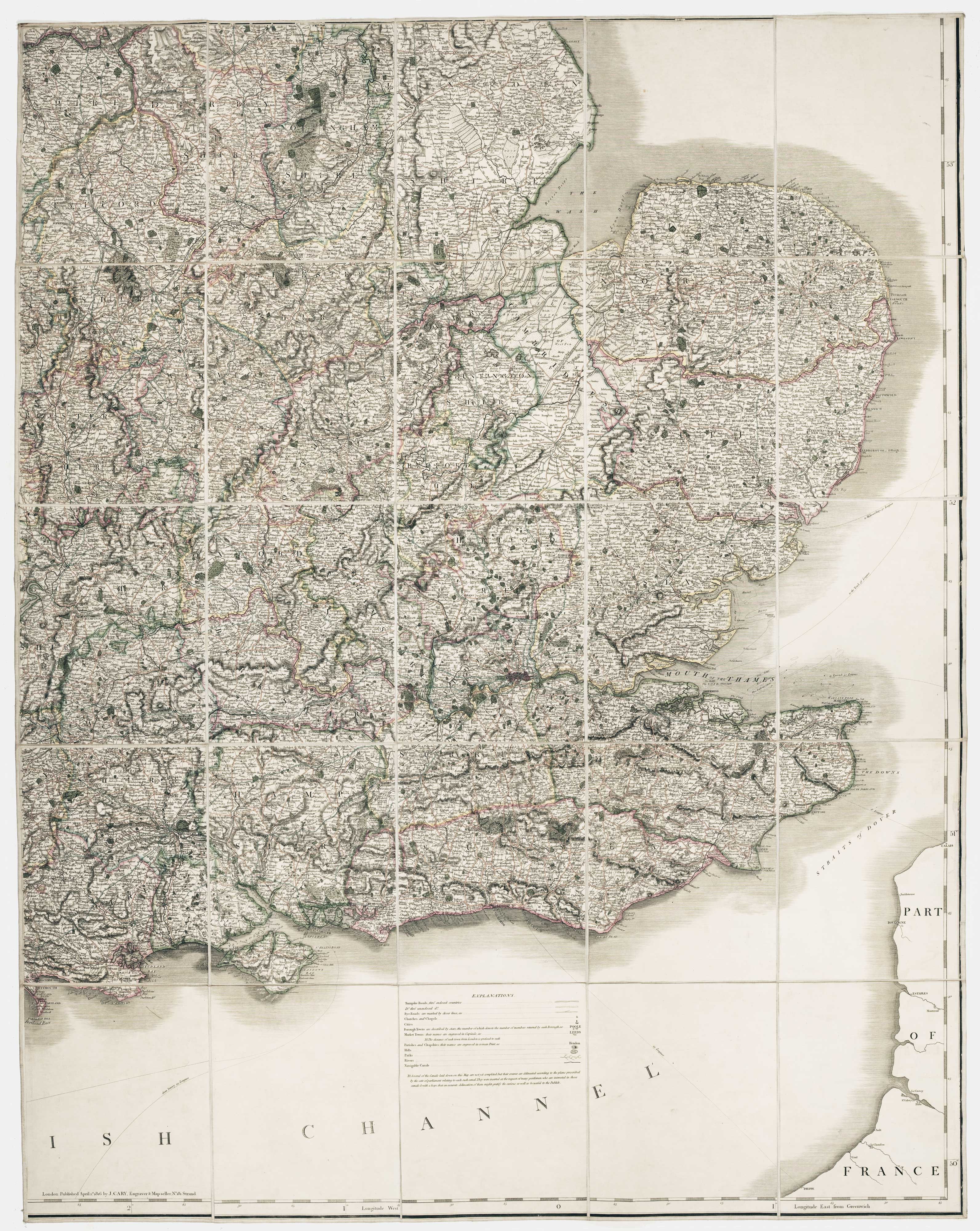
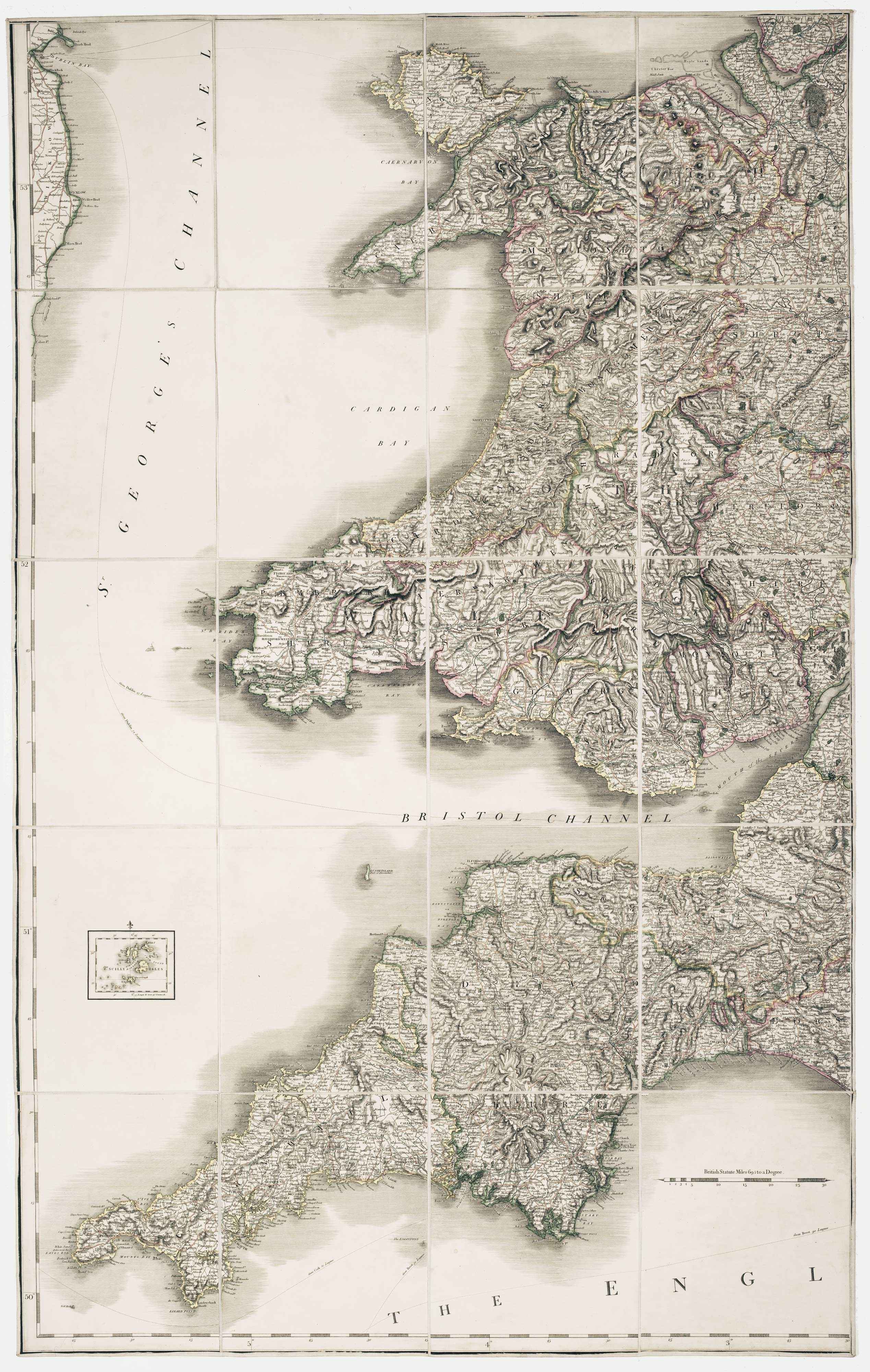
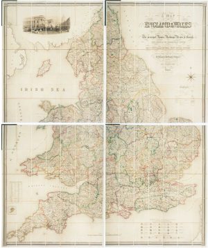
Georgian wall map of England & Wales
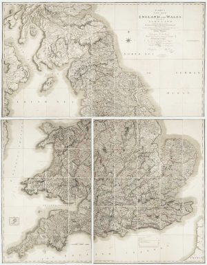
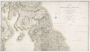
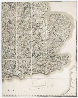
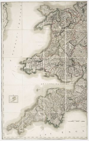
Cary's New Map of England and Wales, With Part of Scotland. On which are carefully laid down All the Direct and Principal Cross Roads, the Course of the Rivers and Navigable Canals, Cities, Market and Borough Towns, Parishes and most considerable Hamlets, Prks, Forests &c &c... Second Edition, Corrected to 1820.
London: G. & J. Cary, 1820. Original outline colour. Dissected and laid on linen in three sections, total if joined 2310 x 1830mm, with diced calf slipcase with James Wyld's label inside lid.
£1,250.00
Description
Cary's monumental map of England and Wales, first published in 1794, this example from the second edition of 1816 updated to 1820.
The map was published just prior to the age of railways: Britain's first public railway, the Stockton and Darlington Railway, opened only five years later, in 1825.
Condition:
Light offset, slipcase scuffed.Related products
-
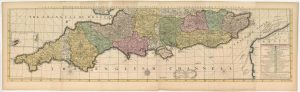
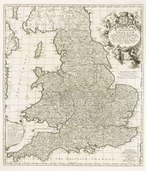
The southern counties of England from a 1700 wall map of England
HARRIS, John. Date: 1700Stock #: 25108 £3,000.00 -
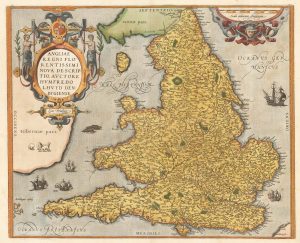
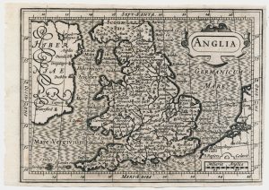
The Ortelius/Lhuyd map of England
ORTELIUS, Abraham. Date: 1584Stock #: 22262 £1,250.00 -
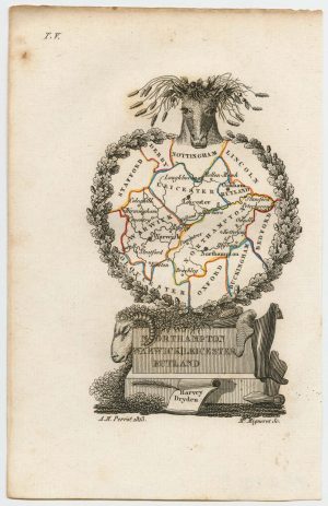
Miniature map of the East Midlands
PERROT, Aristide Michel. Date: 1828Stock #: 23304 £60.00 -
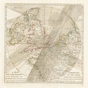
A plan of eclipses over England in the 18th century
DUNN, Samuel. Date: 1797Stock #: 22159 £350.00 -
Four-sheet folding map of England & Wales
CREIGHTON, R. Date: 1839Stock #: 10621 £800.00 -
A scarce miniature map of England and Wales
ROGIERS, Salomon. Date: 1807Stock #: 22084 £160.00 -
A separate-issue road map of England
VISSCHER, Nicolas. Date: 1694Stock #: 10557 £480.00 -
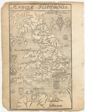
A 16th century woodcut map of England and Wales
LYNE, Richard. Date: 1596Stock #: 23298 £750.00 -
A leaf of Saxton’s ‘Traveller’s Guide’ of England and Wales
SAXTON, Christopher. Date: 1700Stock #: 24050 £900.00
Items by the same author
Add to Wishlist
Add to Wishlist

Detailed map of London during the Great Exhibition of 1851
CARY, John. Date: 1851 Stock #: 24101 £1,500.00
Add to Wishlist
Add to Wishlist
