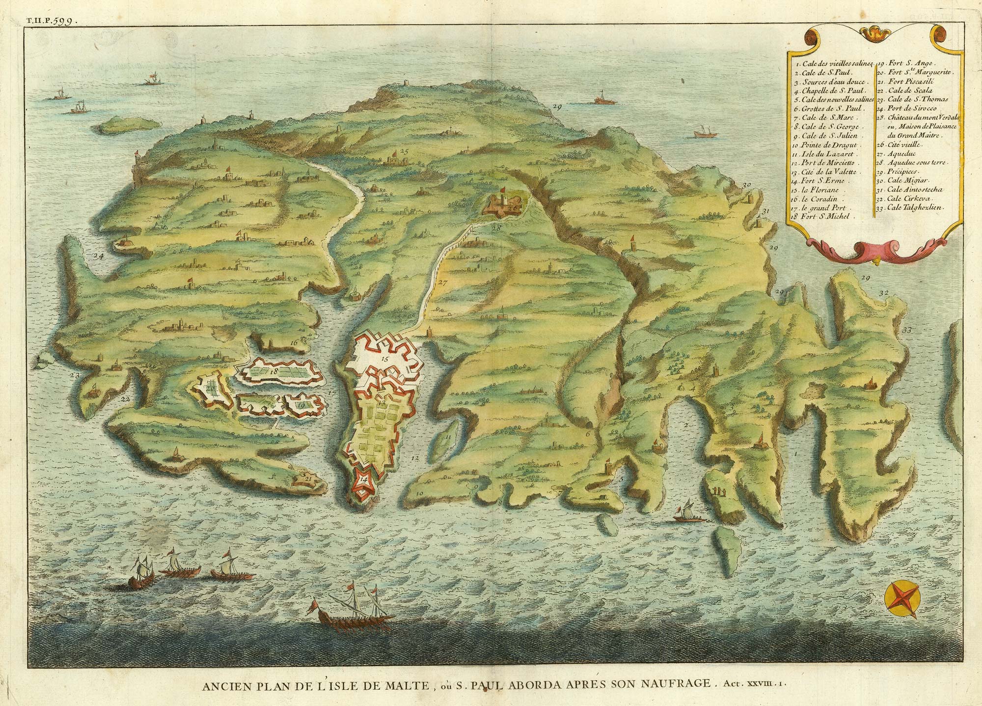


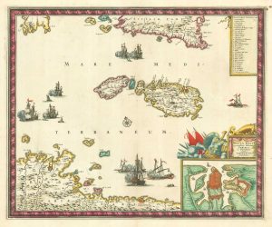
A bird’s-eye view-map of Malta
Ancien Plan De L'Isle de Malte, où S. Paul Aborda aprés son Naufrage. Act. XXVIII. 1.
Paris, c.1722. Coloured. 330 x 460mm.
£480.00
Description
A map of Malta shown as if from an elevated viewpoint, orientated with north to the bottom right, with a 33-pont key..
Although the map was published in Calmet's 'Dictionnaire historique' and has a title referring to the shipwreck of St Paul on the island, the mapping is mostly contemporary, with Valletta's geometric defences.
Condition:
A good example.Related products
-
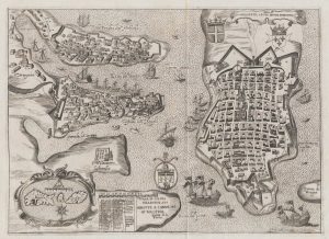
A 16th century town plan of Valletta
VALEGIO, Francesco. Date: 1598Stock #: 24173 £200.00 -
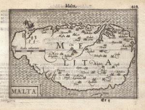
Uncommon miniature map of Malta
MULLER, Johann Ulrich. Date: 1692Stock #: 18043 £250.00 -
The Knights Hospitallers in Valletta
NABERAT, Anne de. Date: 1629Stock #: 20122 £1,000.00 -
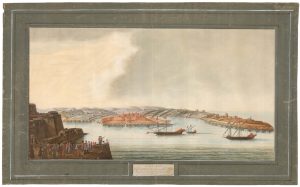
A rare 18th century view of Marsamxett
PULLICINO, Alberto. Date: 1770Stock #: 23426 £3,750.00 -
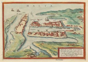
Early plan of Valletta
BRAUN, Georg & HOGENBERG, Frans. Date: 1600Stock #: 17847 £325.00 -
17th century map of Malta
DE WIT, Frederick. Date: 1680Stock #: 19494 £1,600.00 -
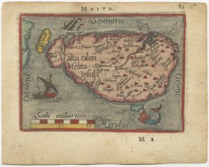
A 16th century miniature map of Malta
ORTELIUS, Abraham. Date: 1593Stock #: 24463 £280.00 -
A 16th century miniature map of Malta
LANGENES, Barent. Date: 1599Stock #: 21326 £400.00 -
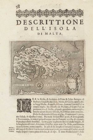
Early map of the island of Malta
PORCACCHI, Tomaso. Date: 1590Stock #: 15506 £275.00
Items by the same author
Add to Wishlist
Add to Wishlist