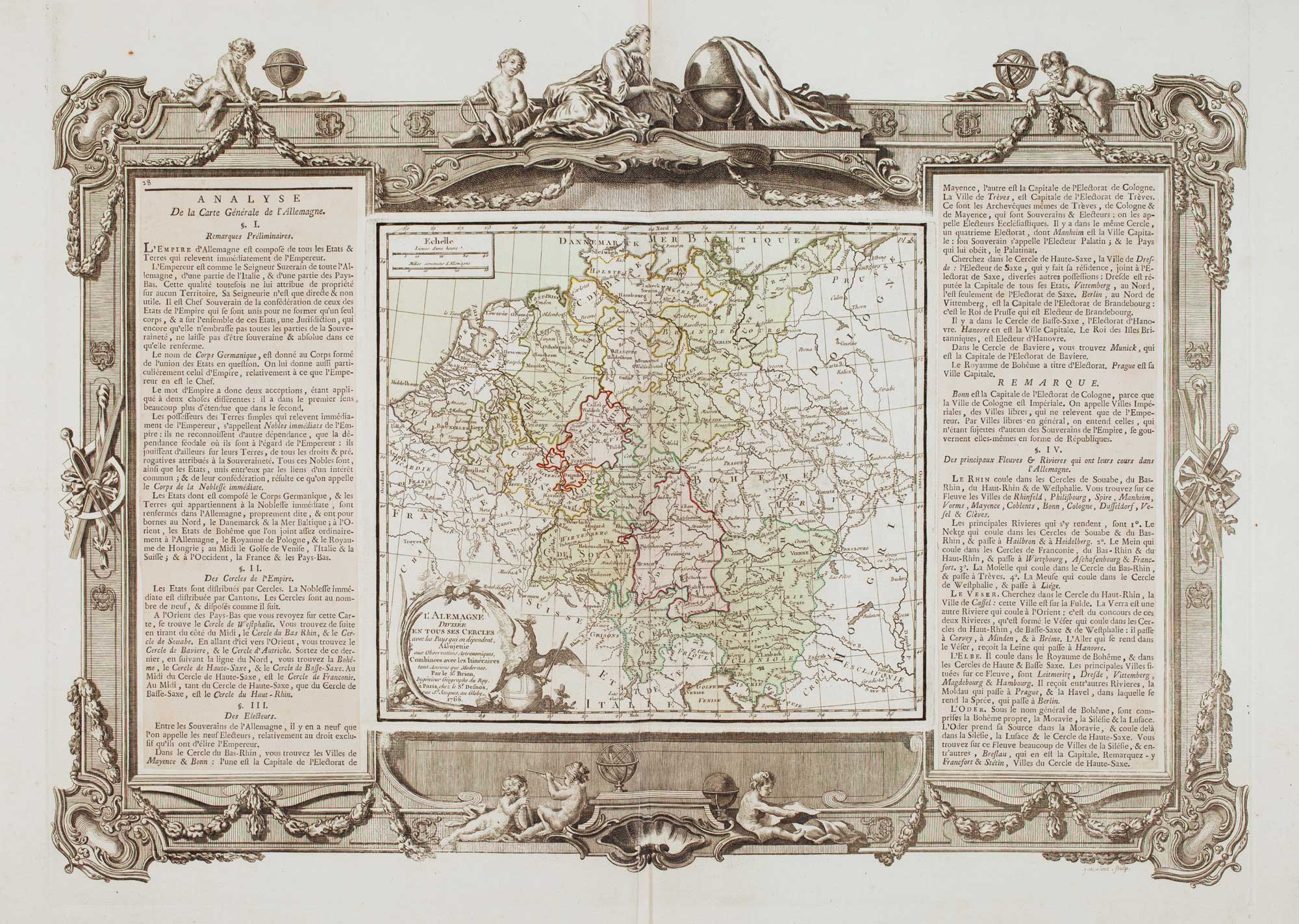


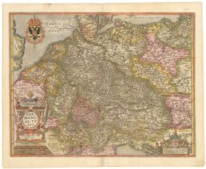
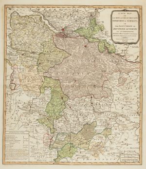
An 18th century map of Germany
L' Alemagne : Divisée En Tous Ses Cercles avec les Pays qui en dépendent, Aßujettie aux Observations Astronomiques, Combinées avec les Itinéraires tant Anciens que Modernes...
Paris: Desnos, 1770. Original colour. 420 x 555mm.
£220.00
Description
Fine example of this scarce 1770 deluxe edition of the map of Germany
This edition includes a highly decorative architectural border frame showing cherubs, globes and garlands, this border has been refined and embellished by Aveline following the first appearance in the 1766 deluxe edition of the map. The map has French text in two columns, left and right of the map.
Condition:
A good example.Related products
-
A 17th century map of the Duchy of Holstein
HONDIUS, Henricus. Date: 1632Stock #: 25099 £450.00 -

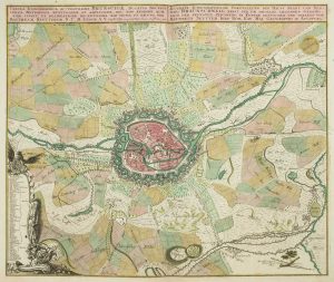
The Rhine theatre of the War of the Polish Succession
OETTINGER, Johann Friedrich. Date: 1734Stock #: 20887 £700.00 -
A 18th century plan of Kiel
HOMANN HEIRS. Date: 1735Stock #: 25100 £600.00 -
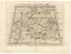
Ruscelli’s map of Germany according to Ptolemy, First State
RUSCELLI, Girolamo. Date: 1557Stock #: 22241 £220.00 -
A map of Germany compiled by Frans Hogenberg in fine colour
ORTELIUS, Abraham. Date: 1603Stock #: 23805 £650.00 -
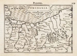
A 16th century miniature map of Pomerania
LANGENES, Barent. Date: 1599Stock #: 21175 £65.00 -
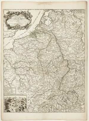
A scarce two-sheet map of the Rhine Region during the Nine Years’ War
NOLIN, Jean Baptiste. Date: 1690Stock #: 11393 £650.00 -
The German possessions of the Georgian monarchs
JEFFERYS, Thomas. Date: 1789Stock #: 7964 £280.00 -
18th century map of Brunswick and its environs
SEUTTER, Matthaus. Date: 1735Stock #: 9404 £260.00
Items by the same author
Add to Wishlist
Add to Wishlist
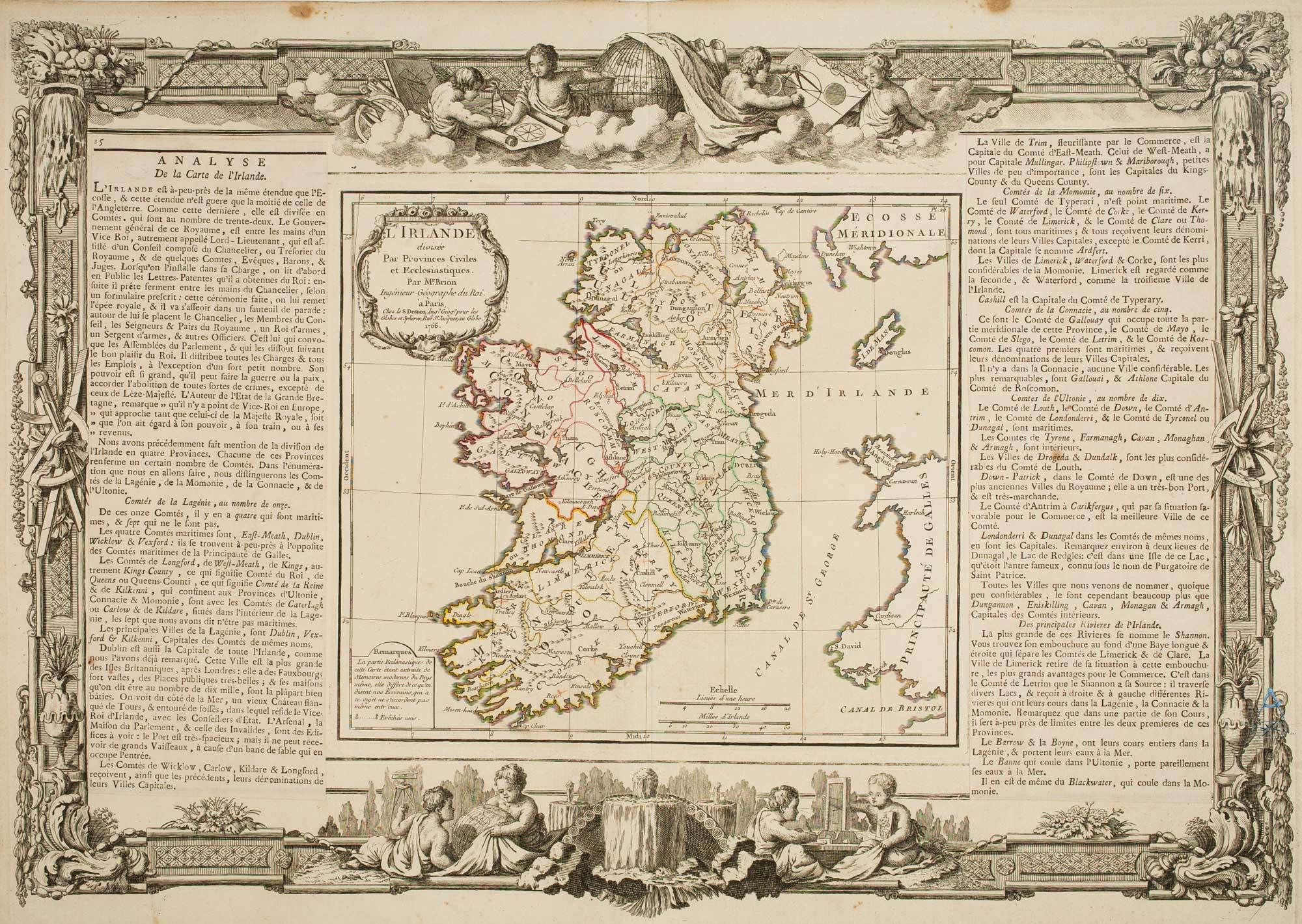
18th century decorative map of Ireland
BRION DE LA TOUR, Louis. Date: 1766 Stock #: 7547 £260.00
Add to Wishlist
Add to Wishlist
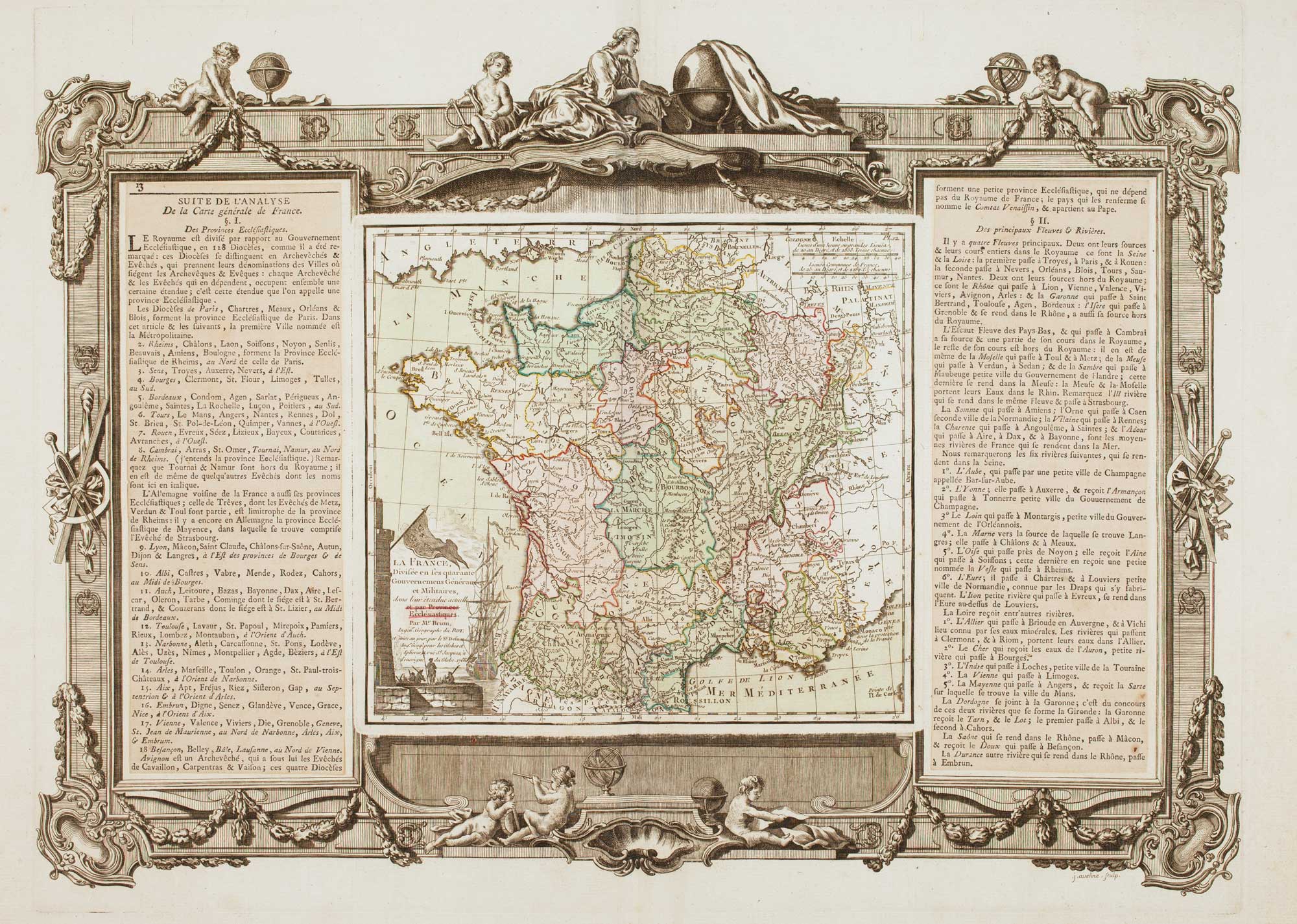
A decorative 18th century map of France
BRION DE LA TOUR, Louis. Date: 1770 Stock #: 15529 £200.00
Add to Wishlist
Add to Wishlist
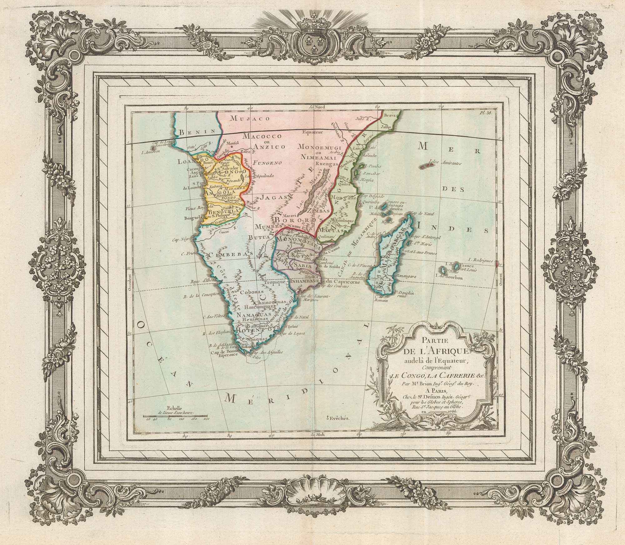
A decorative map of South Africa
BRION DE LA TOUR, Louis. Date: 1786 Stock #: 19597 £165.00
Add to Wishlist
Add to Wishlist