

An uncommon Spanish sea chart of Gabon, the Congo and Angola
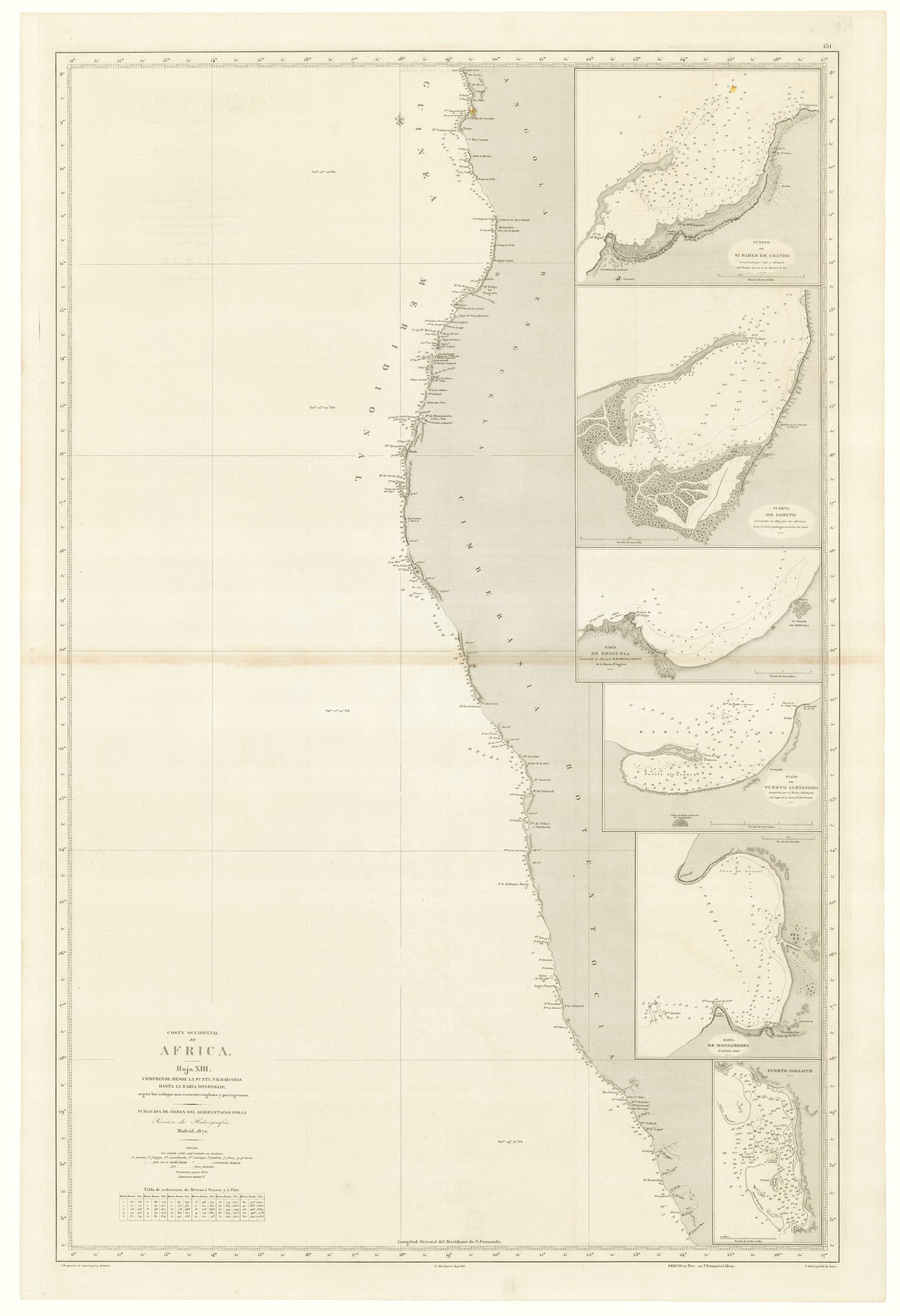
Costa Occidental de Africa. Hoja XII. Comprende desde El Cabo Lopez hasta Punta Palmarinhas, segun los trabajos mas recientes ingleses y franceses.
Madrid: Direccion de Hidrografia, 1870. Touch of original hand colour. 940 x 620mm. With the blindstamp of the Direccion de Hidrografia.
£700.00
1 in stock
x
Question About This Item?
An uncommon Spanish sea chart of Gabon, the Congo and Angola & BREGANTE, S.Stock #: 18238
Add to Wishlist
Export as PDFEnquireSimilar to Sell?Add to Wishlist
Description
A detailed chart of the coast of Africa from Cape Lopes (Port-Gentil) in Gabon, south through the Republic of the Congo to Luanda in Angola. Six insets include a chart of the mouth of the Congo River. A single lighthouse is marked in colour.
Condition:
Paper with light toning, glue stains at centre fold, pair of small worm holes in left margin.Related products
-
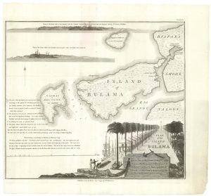
The Nova Scotian Settlers on Bolama
WADSTROM, Carl Bernard. Date: 1795Stock #: 25181 £600.00 -
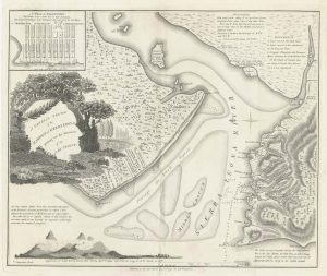
One of the first maps of Freetown
WADSTROM, Carl Bernard. Date: 1795Stock #: 25179 £750.00 -
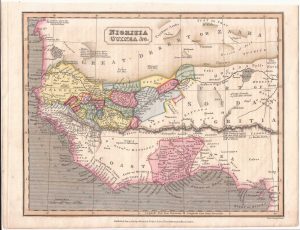
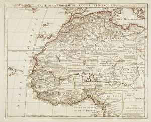
West Africa with the infamous ‘Mountains of Kong’
NEELE & SON. Date: 1838Stock #: 22432 £110.00 -
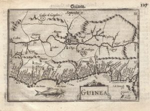
A 16th century miniature map of Guinea
LANGENES, Barent. Date: 1599Stock #: 21296 £120.00 -
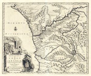
Early 18th century map of Congo & Angola
AA, Pieter van der. Date: 1720Stock #: 19131 £220.00 -
A 17th century old map of the Gulf of Guinea in West Africa
JANSSON, Jan. Date: 1680Stock #: 23630 £500.00 -
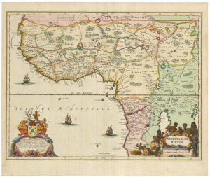
Large map of West Africa published at the end of the 18th century
DELISLE, Guillaume. Date: 1798Stock #: 14029 £300.00 -
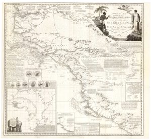
An Abolitionist’s map of Sierra Leone
WADSTROM, Carl Bernard. Date: 1795Stock #: 25184 £3,500.00 -
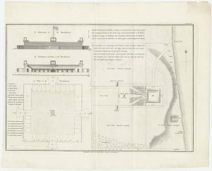
Housing the Nova Scotian Settlers on Bolama
WADSTROM, Carl Bernard. Date: 1795Stock #: 25182 £400.00
Items by the same author
Add to Wishlist
Add to Wishlist
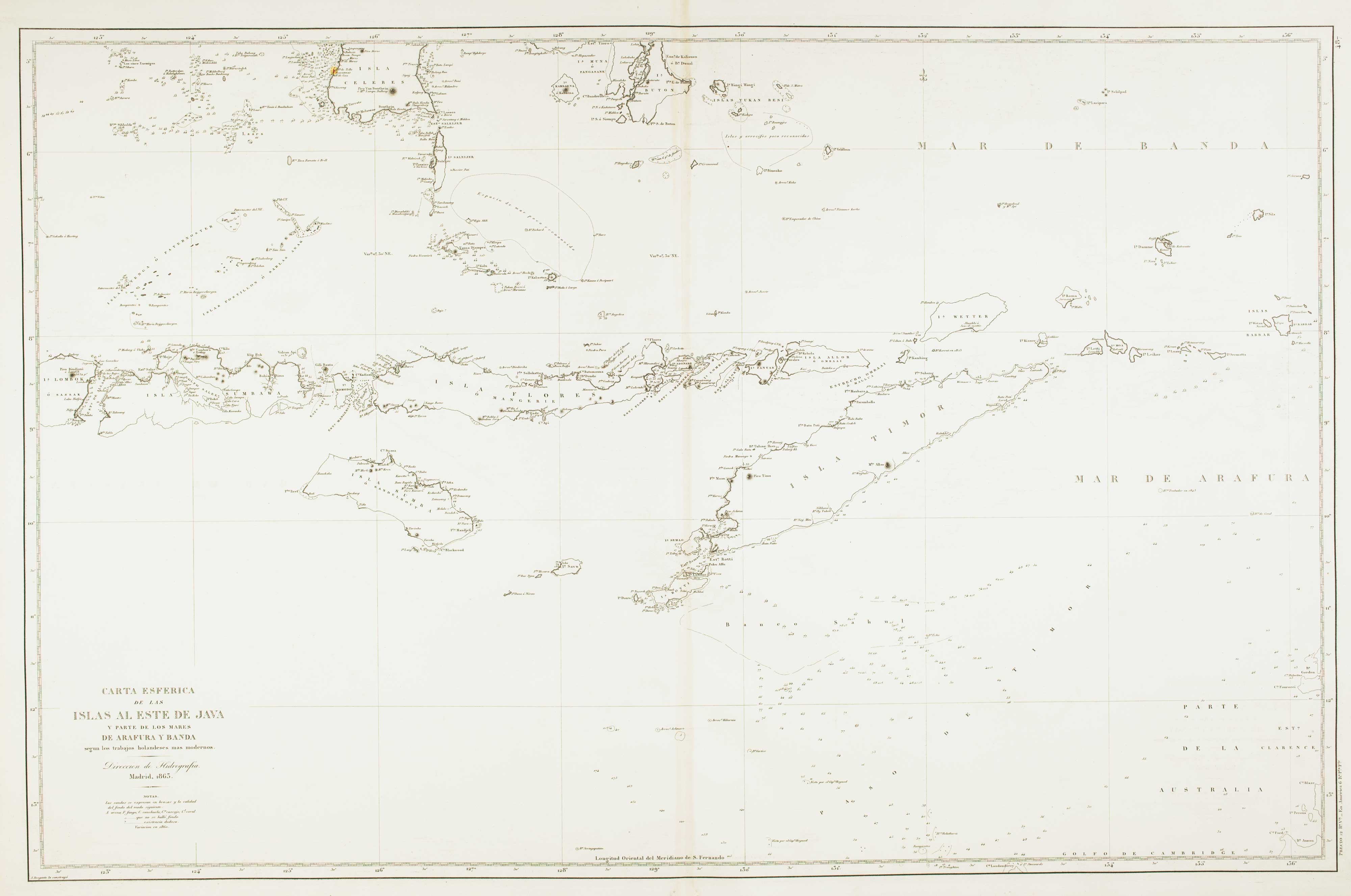
Sea chart of the Indonesian provinces of West & East Nusa Tenggara, with East Timor
BREGANTE, S. Date: 1863 Stock #: 12458 £500.00
Add to Wishlist
Add to Wishlist