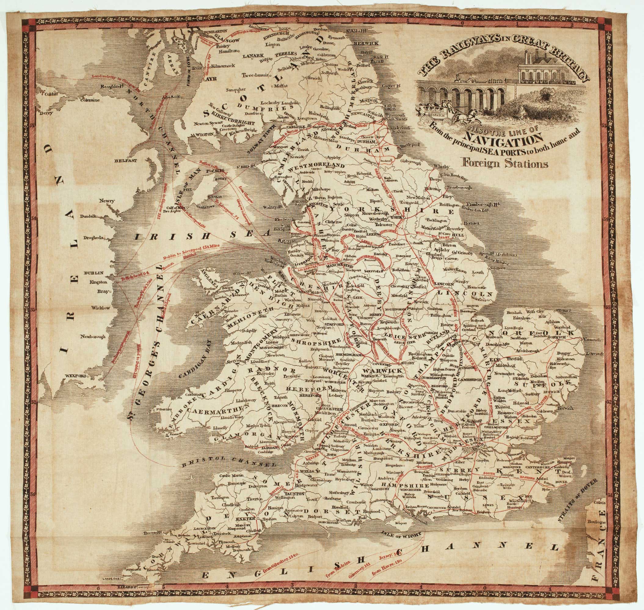


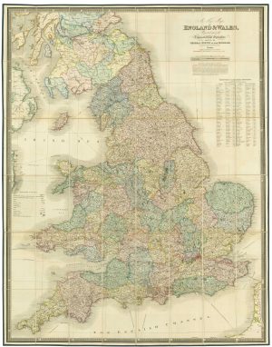
A rare mid 19th century railway map on cloth
The Railways in Great Britain also the line of Navigation from the principal Sea Ports to both home and Foreign Stations.
Manchester? c.1850. Printed on cloth in black and red. 580 x 600mm.
£750.00
1 in stock
x
Question About This Item?
A rare mid 19th century railway map on cloth & BRADSHAW, George.Stock #: 22682
Add to Wishlist
Export as PDFEnquireSimilar to Sell?Add to Wishlist
Description
A scarce map printed on cloth of England, Wales and Southern Scotland with the railways overprinted in red. It shows a line to Plymouth, opened in 1848; and the line from London to Norwich is named the Eastern Counties Railway, before it became the Great Eastern Railway in 1862. The title cartouche features a train crossing a viaduct.
Bradshaw published a smaller map on paper with the same title in 1843.
Condition:
Some faint toning.Related products
-
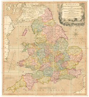
A road map of England and Wales
BOWLES, Carington. Date: 1800Stock #: 24719 £300.00 -
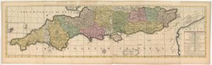
The southern counties of England from a 1700 wall map of England
HARRIS, John. Date: 1700Stock #: 25108 £3,000.00 -
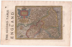
Northern England from the first English Edition of the ‘Atlas Minor’
HONDIUS, Jodocus. Date: 1635Stock #: 22444 £100.00 -
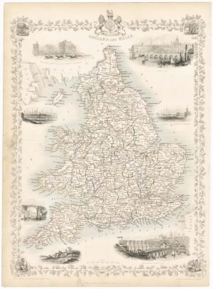
Map of England and Wales with vignettes
TALLIS, John. Date: 1851Stock #: 23491 £180.00 -
Speed’s map of the wars of England
SPEED, John. Date: 1665Stock #: 23791 £1,800.00 -
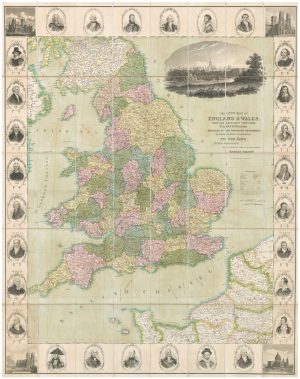
A decorative wall map of England & Wales
SEATON, Robert. Date: 1835Stock #: 10838 £1,500.00 -
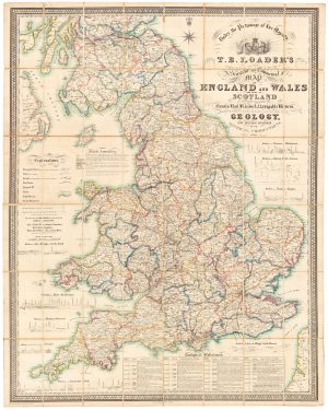
A large and detailed Victorian map of England & Wales
LOADER, T.B. Date: 1840Stock #: 22981 £1,850.00 -
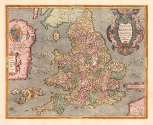
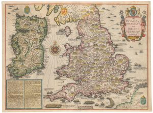
The rarest Ortelius atlas map of England and Wales
ORTELIUS, Abraham. Date: 1603Stock #: 25643 £2,000.00 -
A large folding map of England and Wales in fine colour
FADEN, William. Date: 1830Stock #: 21859 £500.00