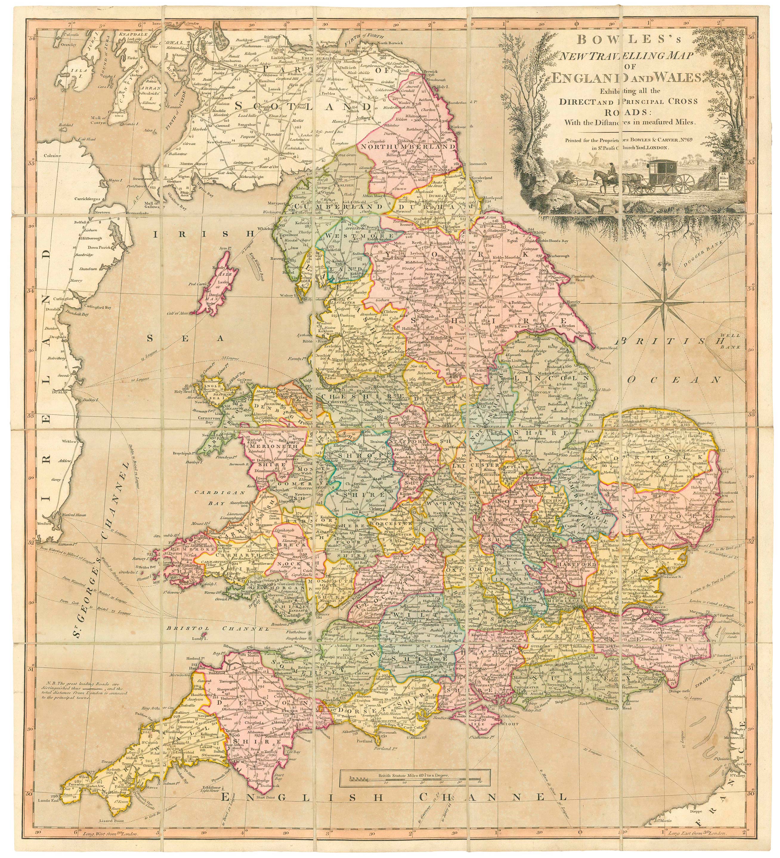


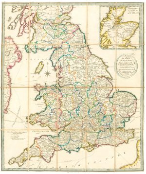
A road map of England and Wales
Bowles's New Travelling Map of England and Wales Exhibiting all the Direct and Principal Cross Roads: with the Distances in Measured Miles.
London: Bowles & Carver, c.1800. Original colour. Dissected and laid on linen, total 605 x 545mm, folded into the original slipcase with title label.
£300.00
Description
A colourful map of the roads of England and Wales, extending into southern Scotland, with Glasgow and Edinburgh, and eastern Ireland, with Belfast, Dublin and Wexford.
Originallly published by Carington Bowles in 1782, the map has a decorative title cartouche featuring a private coach in a rural setting with a windmill.
Condition:
Sea green slightly oxidised.Related products
-
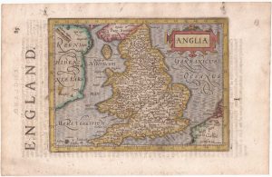
England and Wales from the first English Edition of the ‘Atlas Minor’
HONDIUS, Jodocus. Date: 1635Stock #: 22399 £220.00 -
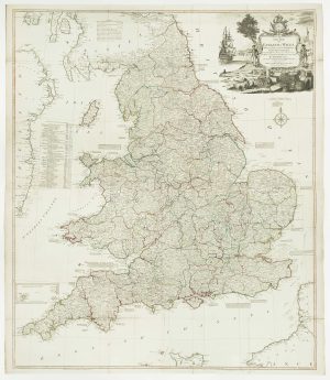
A four-sheet wall map of England and Wales
KITCHIN, Thomas. Date: 1792Stock #: 16009 £1,600.00 -
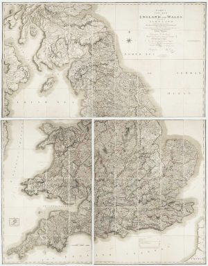
Georgian wall map of England & Wales
CARY, John. Date: 1820Stock #: 22666 £1,250.00 -
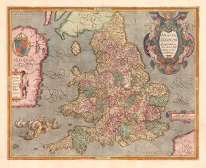
The rarest Ortelius atlas map of England and Wales
ORTELIUS, Abraham. Date: 1603Stock #: 25643 £2,000.00 -
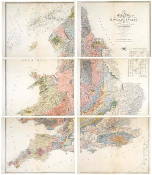
An important geological map of England and Wales on six sheets
GREENOUGH, George Bellas. Date: 1820Stock #: 20885 £25,000.00 -
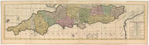
The southern counties of England from a 1700 wall map of England
HARRIS, John. Date: 1700Stock #: 25108 £3,000.00 -
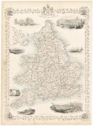
Map of England and Wales with vignettes
TALLIS, John. Date: 1851Stock #: 23491 £180.00 -
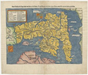
An early woodcut map of England
MUNSTER, Sebastian. Date: 1546Stock #: 25504 £1,000.00 -
A scarce road map of England and Wales published in Dublin
ALLEN, Mark. Date: 1832Stock #: 24777 £450.00