


A Georgian map of Tottenham
A Map of the Parish of Tottenham in the County of Middlesex from an Actual Survey.
London, 1818. Coloured. Sheet 405 x 580mm.
£300.00
Description
A map of Tottenham Parish, engraved by R.E. Bowler and E.G. Triquet for William Robinson's 'History and Antiquities of the Parish of Tottenham High Cross'. Besides marking the houses, the area of each field is measured, in acres, rods and perches. The site of the White Hart Lane stadium is still fields, on the corner of High Road and Marsh Lane (now renamed Park Lane.)
Condition:
Laid on linen as issued, binding folds flattened.Related products
-
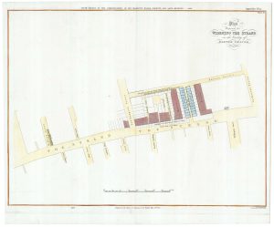
A plan to widen the Strand at the Savoy
ARROWSMITH, Aaron. Date: 1826Stock #: 21684 £320.00 -
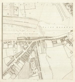
Knightsbridge from an important large-scale survey of London
HORWOOD, Richard. Date: 1794Stock #: 24401 £1,500.00 -
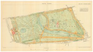
A detailed plan of Kensington Gardens and Hyde Park
ORDNANCE SURVEY. Date: 1944Stock #: 24529 £750.00 -
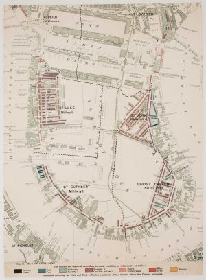
The Isle of Dogs from Booth’s Poverty Map of London
BOOTH, Charles. Date: 1900Stock #: 16083 £280.00 -
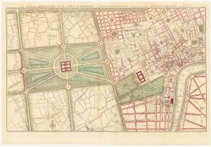
Gwynn’s proposed improvements to Hyde Park and City of Westminster
GWYNN, John Date: 1766Stock #: 24085 £1,250.00 -
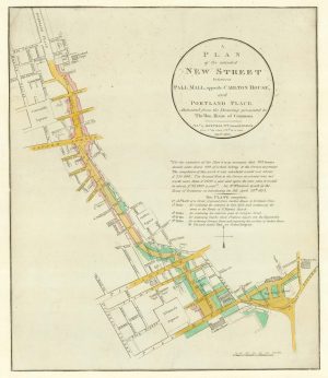
Nash’s planned layout of Regent Street
LUFFMAN, John. Date: 1814Stock #: 18274 £980.00 -
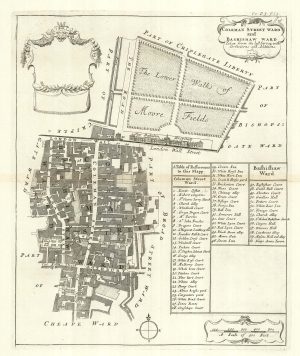
The wards of Coleman Street and Bassishaw at the end of the 17th century
BLOME, Richard. Date: 1720Stock #: 25162 £200.00 -
An early 19th century plan for houses in Hyde Park
FORDYCE, John. Date: 1809Stock #: 21686 £450.00 -
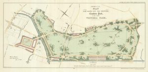
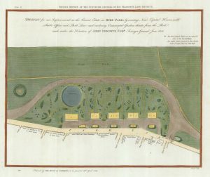
A plan of the proposed Victoria Park
Anonymous. Date: 1817Stock #: 25316 £650.00