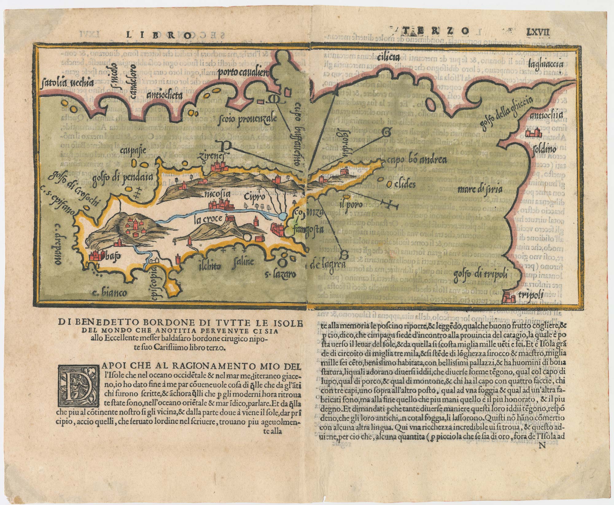


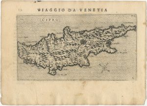
The second printed map of Cyprus
[Cipro.]
Venice: Francesco di Leno, c.1565, Coloured woodcut set in Italian text, two sheets conjoined, sheet total 295 x 355mm.
£3,600.00
Description
Bordone's important map of Cyprus, the second printed map of the island, published in the 'Isolario di Benedetto Bordone', first issued in 1528. It shows Cyprus, with only a few placenames besides Nicosia and Famagusta, and the coast of Turkey, Syria and Lebanon, with Antioch and Tripoli. Nicely coloured.
Condition:
Corners of margins restored.References:
BAYNTON-WILLIAMS: Cyprus 2:2Related products
-
A classic 16th century Dutch map of Cyprus
ORTELIUS, Abraham. Date: 1595Stock #: 23815 £1,600.00 -
A map illustrating ‘Jason and the Argonauts’
JANSSON, Jan. Date: 1700Stock #: 22875 £600.00 -
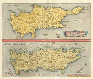
16th century map with Cyprus & Crete
ORTELIUS, Abraham. Date: 1698Stock #: 24407 £900.00 -
A scarce miniature map of Cyprus
BEAUVAU, Henri de. Date: 1615Stock #: 23468 £1,600.00 -
A map of the monastics of the Eastern Mediterranean
MICHALET, Etienne. Date: 1695Stock #: 8480 £700.00 -
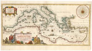
A decorative early 18th century chart of the Mediterranean
FER, Nicolas de. Date: 1654Stock #: 25252 £2,750.00 -
A pirated edition of the Ortelius Epitome map of Cyprus
ORTELIUS, Abraham. Date: 1598Stock #: 18828 £450.00 -
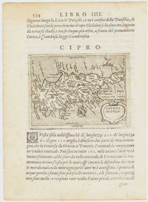
Uncommon 16th century Italian map of Cyprus
ROSACCIO, Giuseppe. Date: 1598Stock #: 24538 £1,600.00 -
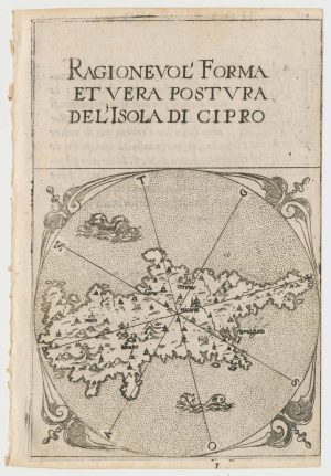
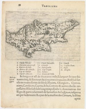
A rare 16th century miniature map of Cyprus
FERRETTI, Francesco. Date: 1579Stock #: 21835 £1,400.00
Items by the same author
Add to Wishlist
Add to Wishlist