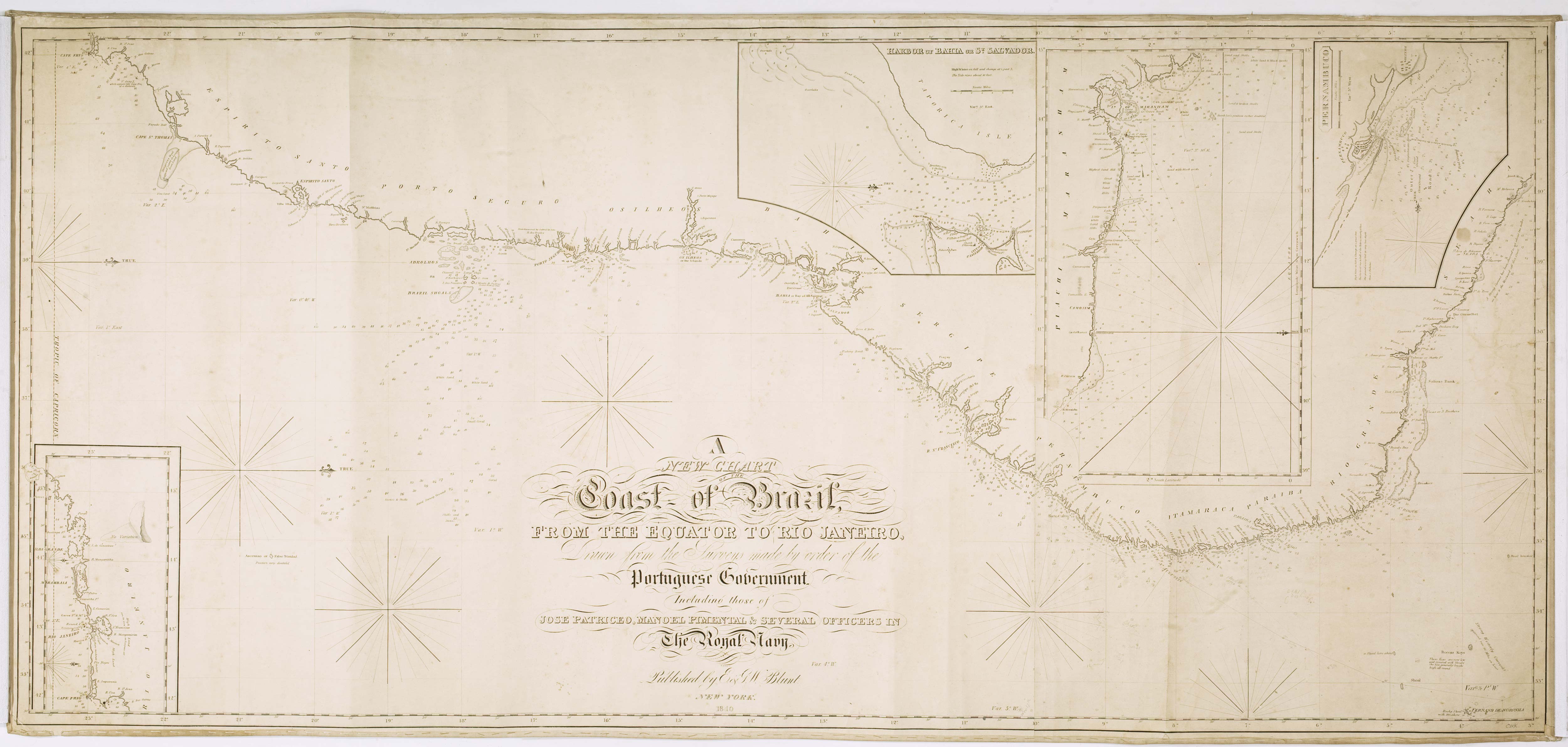


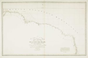
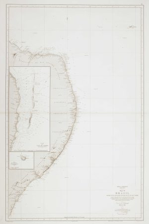
A detailed American ‘blue-back’ sea chart of the Brazilian coastline
A New Chart of the Coast of Brazil from the Equator to Rio Janeiro, Drawn from the surveys made by order of the Portuguese Government.
New York, 1840, on original blue backing paper, 650 x 1420mm.
£1,200.00
1 in stock
x
Question About This Item?
A detailed American ‘blue-back’ sea chart of the Brazilian coastline & BLUNT, E. & G.W.Stock #: 10336
Add to Wishlist
Export as PDFEnquireSimilar to Sell?Add to Wishlist
Description
A detailed 'blue-back' sea chart of the Brazilian coastline between Cabo Frío and Céara, with wind roses, rhumb lines and soundings to aid navigation and insets of Bahia, Rio, Pernambuco and Maranhão. The title in the centre written in decorative gothic script with flourishes and curliques.
Condition:
Some old pencil annotations.Related products
-
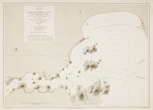
Sea chart of Espiritu Santo
MOUCHEZ, Amédée Ernest Barthémy. Date: 1870Stock #: 12509 £300.00 -
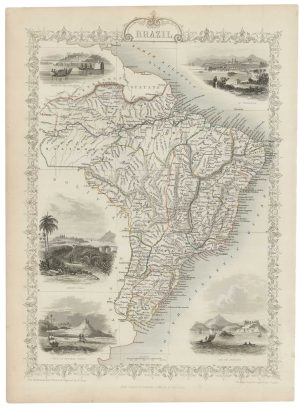
Mid-19th century map of Brazil with decorative vignettes
TALLIS, John. Date: 1851Stock #: 21590 £150.00 -
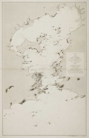
An uncommon 19th century Spanish sea chart of the Bay of Rio de Janeiro
TUBAU, I. Date: 1869Stock #: 12499 £1,200.00 -
19th century Spanish sea chart of the north Brazilian coast
MASSA, Gaspar. Date: 1827Stock #: 12510 £750.00 -
An uncommon 19th century Spanish sea chart of the Brazilian coast
MASSA, Gaspar. Date: 1827Stock #: 12511 £850.00 -
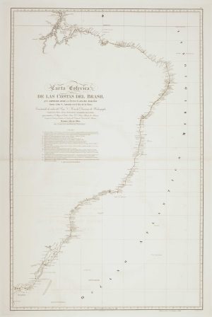
An uncommon 19th century Spanish sea chart of the Brazilian coast
MASSA, Gaspar. Date: 1830Stock #: 12514 £850.00 -
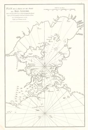
Scarce sea chart of the harbour of Rio de Janeiro
APRÈS DE MANNEVILLETTE, Jean Baptiste d'. Date: 1775Stock #: 19729 £750.00 -
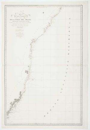
19th century Spanish sea chart of the Brazilian coast
FERREIRO, Martin Date: 1866Stock #: 12501 £650.00 -
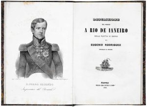
An account of an Italian voyage to Brazil with a fine prospect of Rio de Janeiro
RODRIGUEZ, Eugenio. Date: 1844Stock #: 19347 £3,950.00