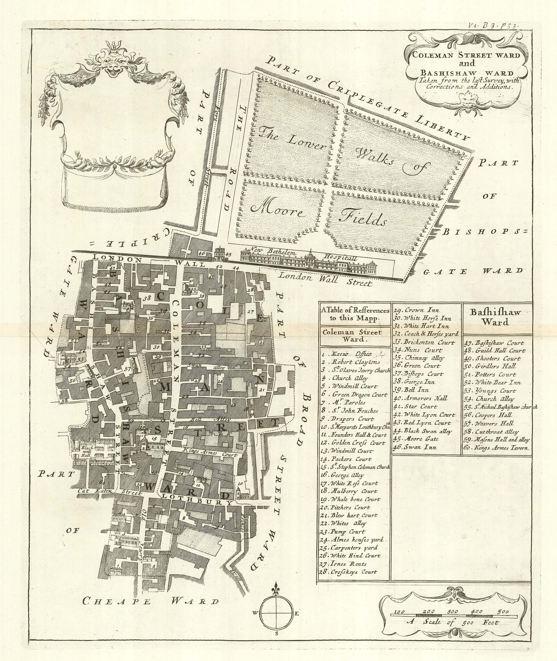


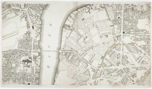
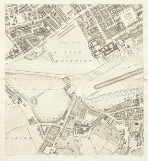
The wards of Coleman Street and Bassishaw at the end of the 17th century
Coleman Street Ward and Bashisaw Ward Taken from the last Survey with Corrections and Additions.
London: Awnsham Churchill, John Knapton et al, 1720. 360 x 300mm.
£200.00
1 in stock
x
Question About This Item?
The wards of Coleman Street and Bassishaw at the end of the 17th century & BLOME, Richard.Stock #: 25162
Add to Wishlist
Export as PDFEnquireSimilar to Sell?Add to Wishlist
Description
A detailed plan of the wards of Coleman Street and Bassishaw, showing the area around Moorgate in the City of London. The old London Wall runs across the map, with Moorgate in the centre, Moorfields at the top, next to Bethlehem Hospital. A 60-point key references various place names.
The map was engraved by Richard Blome c.1695 but not published until 1720, with his name removed from the title. In 1695 William III granted Blome a privilege to publish 'A Survey or description of the citties of London and Westminstr'. Although the British Library holds examples of his maps with Blome's name, none were published until John's Strype's 'A Survey of the Cities of London and Westminster', a continuation of 'Stow's Survey'. This example comes from the first edition, with no apparent attempt to update Blome's mapping.
Condition:
A good example.Related products
-
A detailed plan of Fitzrovia at the end of the 18th century
HORWOOD, Richard. Date: 1794Stock #: 20824 £500.00 -
The City and Whitechapel from an important large-scale survey of London
HORWOOD, Richard. Date: 1799Stock #: 18463 £1,250.00 -
Westminster and Lambeth from an important large-scale survey of London
HORWOOD, Richard. Date: 1799Stock #: 12670 £1,100.00 -
A Georgian map of Tottenham
BOWLER & TRIQUET. Date: 1818Stock #: 14422 £300.00 -
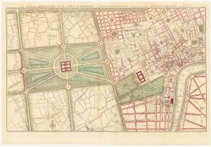
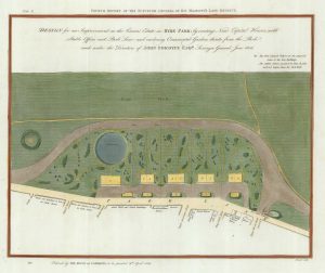
Gwynn’s proposed improvements to Hyde Park and City of Westminster
GWYNN, John Date: 1766Stock #: 24085 £1,250.00 -
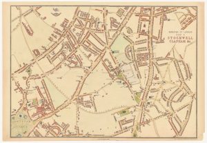
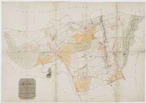
Highly detailed local plan of Stockwell and Clapham
WELLER, Edward. Date: 1863Stock #: 24078 £200.00 -
An early 19th century plan for houses in Hyde Park
FORDYCE, John. Date: 1809Stock #: 21686 £450.00 -
St James’s from an important large-scale survey of London
HORWOOD, Richard. Date: 1795Stock #: 24402 £1,500.00 -
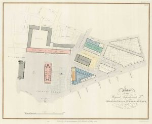
The planned redevelopment of Charing Cross
NASH, John. Date: 1826Stock #: 18494 £450.00
Items by the same author
Add to Wishlist
Add to Wishlist
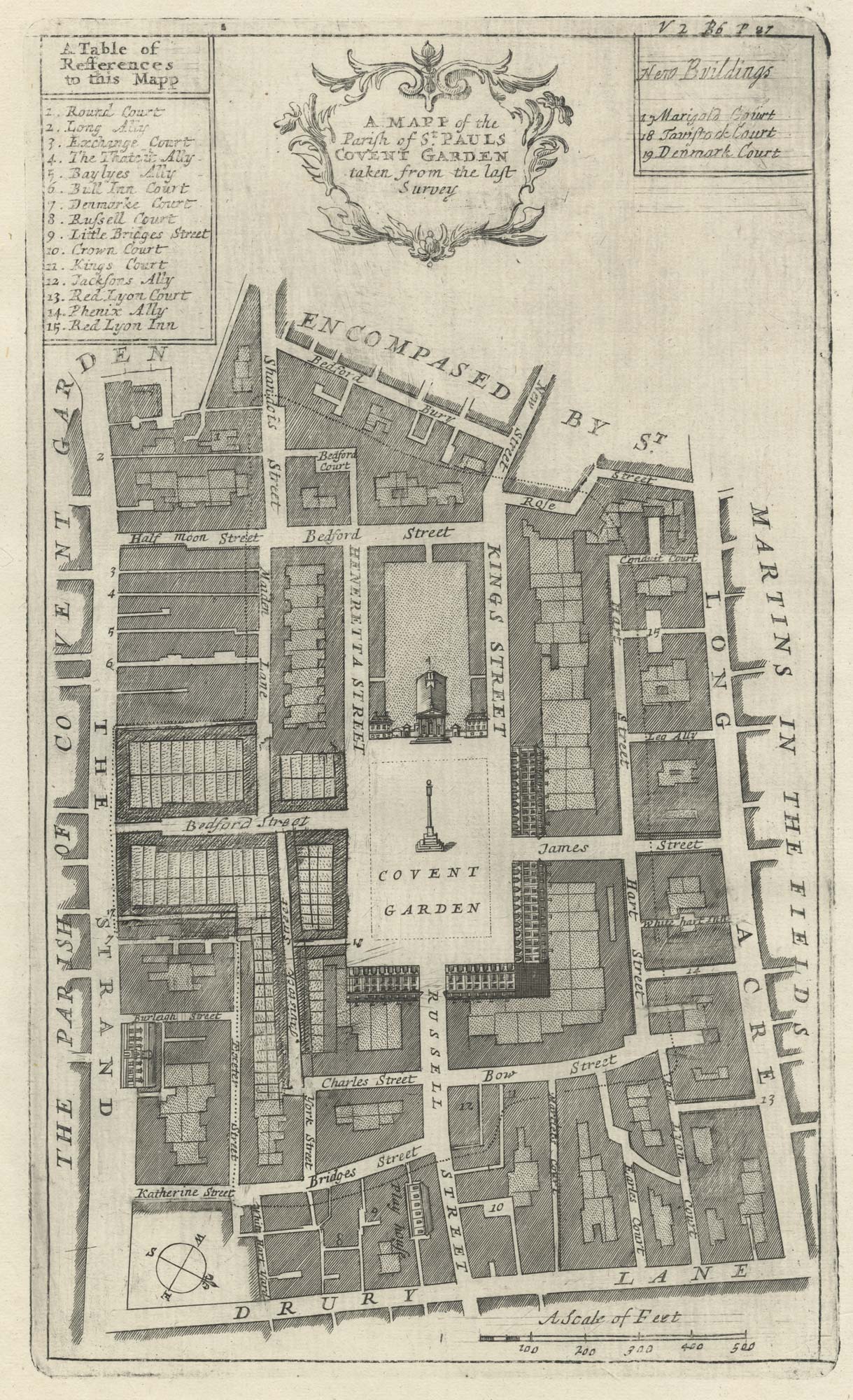
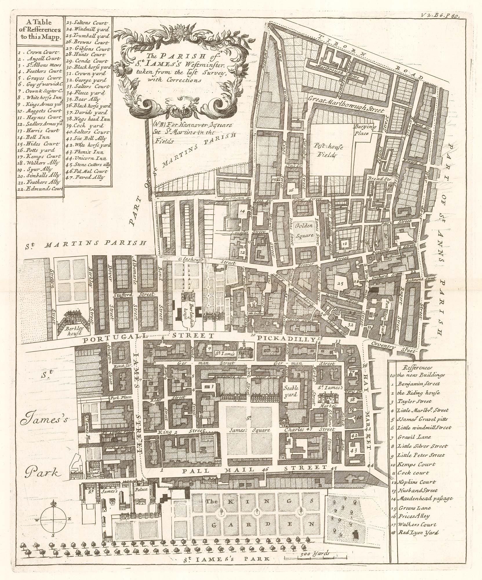
A plan of Covent Garden at the end of the 17th century
BLOME, Richard. Date: 1720 Stock #: 25170 £200.00
Add to Wishlist
Add to Wishlist
A plan of Covent Garden at the end of the 17th century
BLOME, Richard. Date: 1720 Stock #: 25282 £400.00
Add to Wishlist
Add to Wishlist
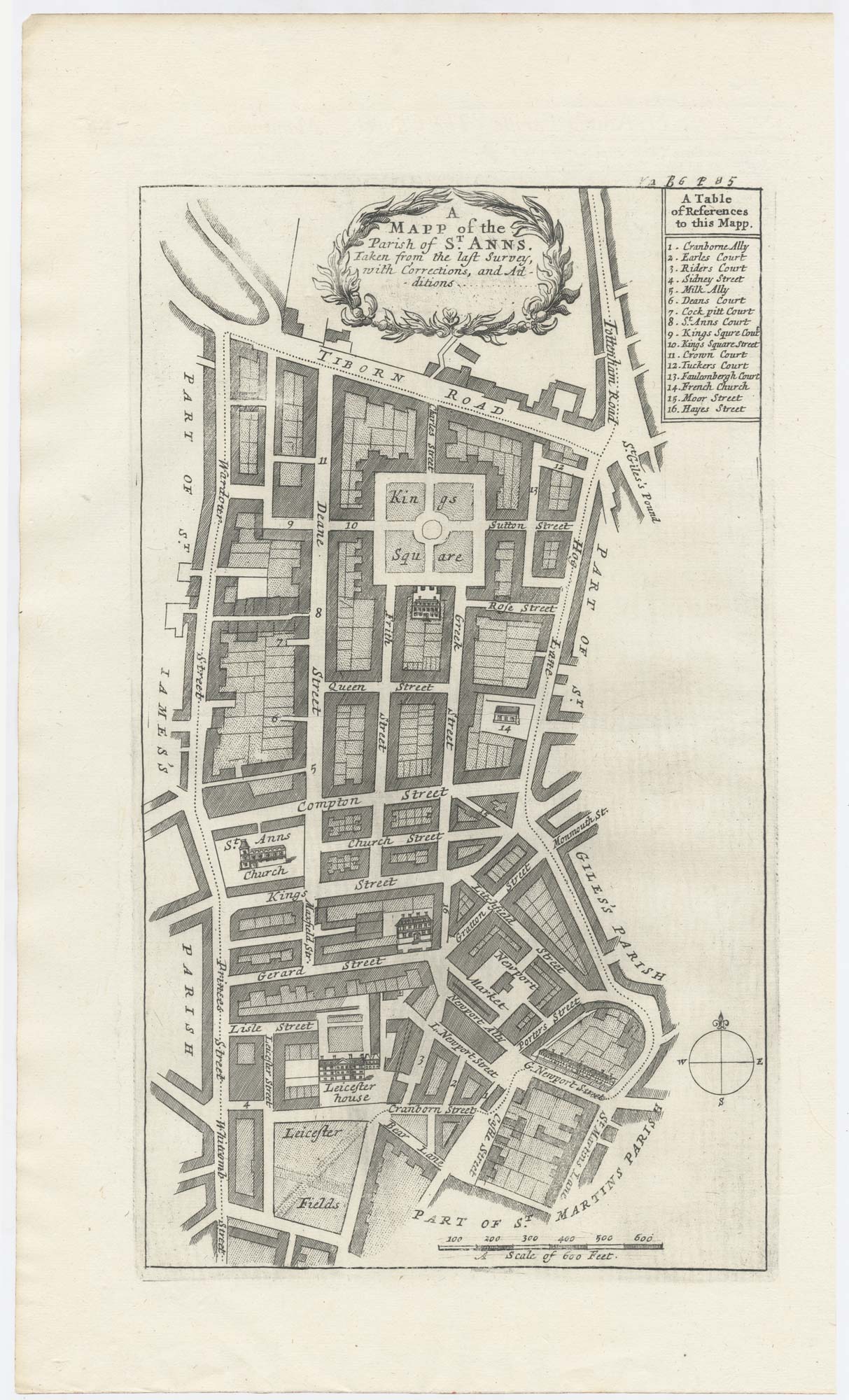
Plan of St James's Parish at the end of the 17th century
BLOME, Richard. Date: 1720 Stock #: 25160 £450.00
Add to Wishlist
Add to Wishlist
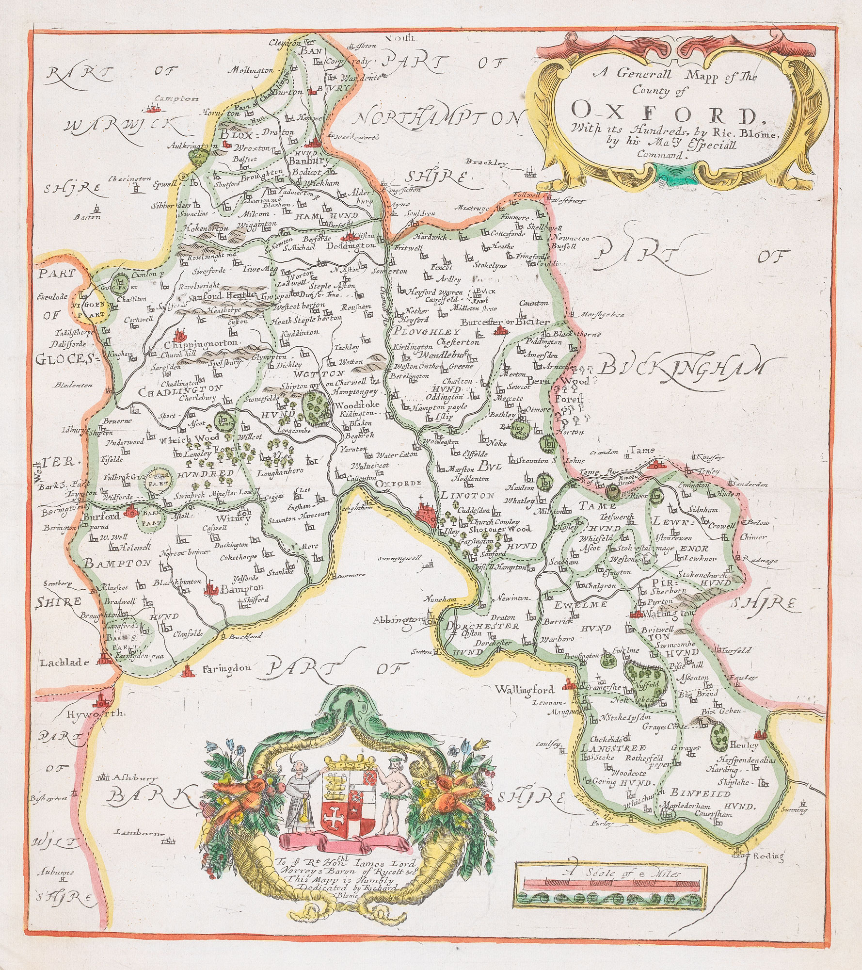
17th century map of Oxfordshire
BLOME, Richard. Date: 1818 Stock #: 20421 £320.00
Add to Wishlist
Add to Wishlist
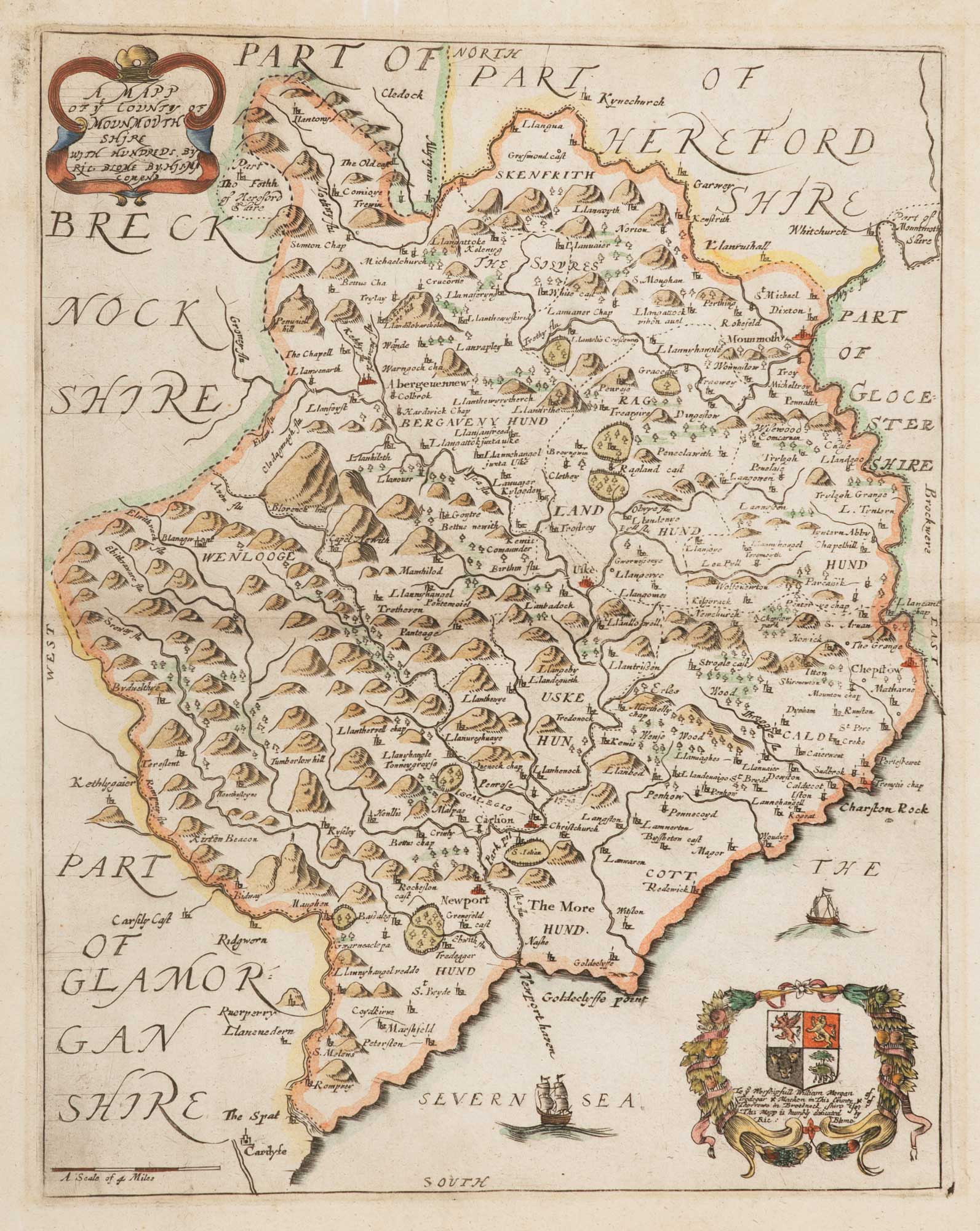
17th century map of Monmouthshire
BLOME, Richard. Date: 1818 Stock #: 15709 £140.00
Add to Wishlist
Add to Wishlist