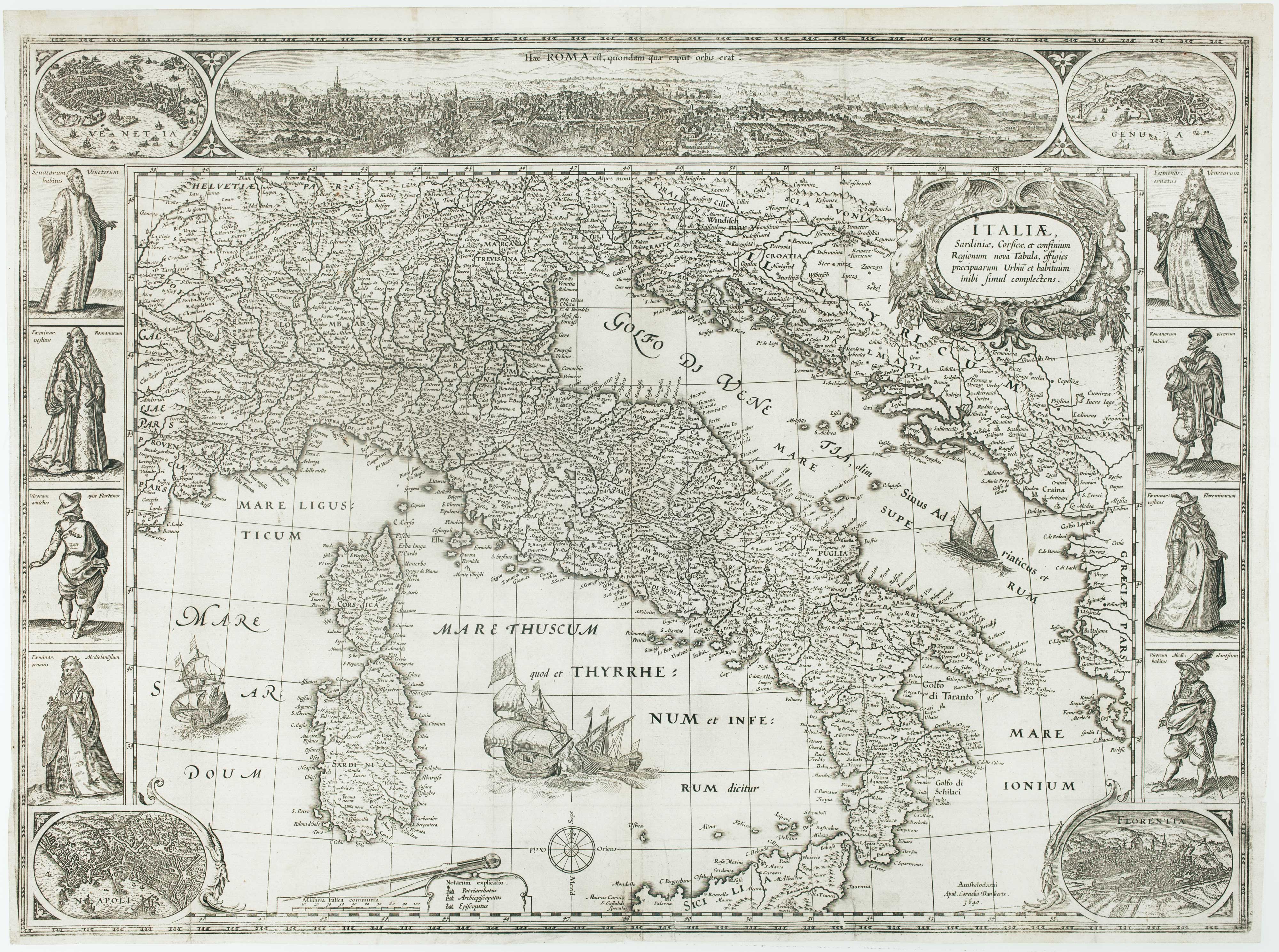


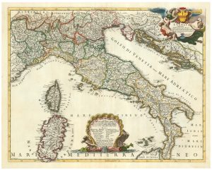
The first carte-à-figure map of Italy
Italiae, Sardiniae, Corsicae, et confinium Regionum nova Tabula, effigies praecipuarum Urbiū et habituum inibi simul complectens.
Amsterdam: Cornelis Danckerts, c.1640. 420 x 570mm.
£9,000.00
1 in stock
x
Question About This Item?
The first carte-à-figure map of Italy & BLAEU, Willem Janszoon.Stock #: 15244
Add to Wishlist
Export as PDFEnquireSimilar to Sell?Add to Wishlist
Description
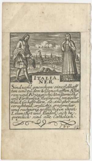
A very scarce separate-issue map of Italy, decorated with a long prospect of Rome and medallion prospects of Venice, Genova, Naples and Florence, eight costumes and a sea battle between a galleon and galley in the Tyrrenian Sea.
Originally published in 1606, there is a second state of 1620, this third state and a fourth state issued by Justus Danckerts in 1661.
Condition:
Narrow left margin, small repaired tear, binding folds reinforced on verso.References:
See BORRI 89 for the first issue; he gives the map 95/100 for rarity and states it was never reissued, so he was unaware of this state. Schilder lists only 10 known examples.Related products
-
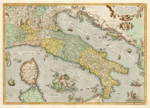
Classic 16th century map of Italy in fine colour
ORTELIUS, Abraham. Date: 1595Stock #: 24917 £1,400.00 -
18th century map of Italy
PHILIPPE DE PRETOT, Etienne André. Date: 1787Stock #: 19327 £500.00 -
A cartobibligraphy of 16th century Italian maps of Italy
BIFOLCO, Stefano & RONCA, Fabrizio. Date: 2014Stock #: 19481 £120.00 -
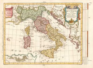
Cantelli’s map of Italy
CANTELLI DA VIGNOLA, Giacomo. Date: 1694Stock #: 24784 £900.00 -
A rare playing card of Italy with a view of Rome
Anonymous. Date: 1680Stock #: 25513 £260.00 -
A mid-19th century map of the post roads of Italy
GARLATO, Giambattista. Date: 1844Stock #: 20642 £600.00 -
Two-sheet folding map of Italy
CRAMER. John Anthony. Date: 1825Stock #: 12143 £650.00 -
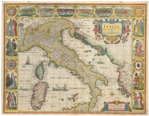
The famous 17th century map of Italy by John Speed
SPEED, John. Date: 1665Stock #: 23988 £2,500.00 -
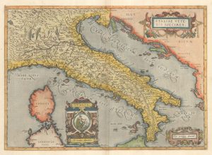
Ortelius’s map of Italy in classical times
ORTELIUS, Abraham. Date: 1595Stock #: 23778 £1,200.00
Items by the same author

Add to Wishlist
Add to Wishlist
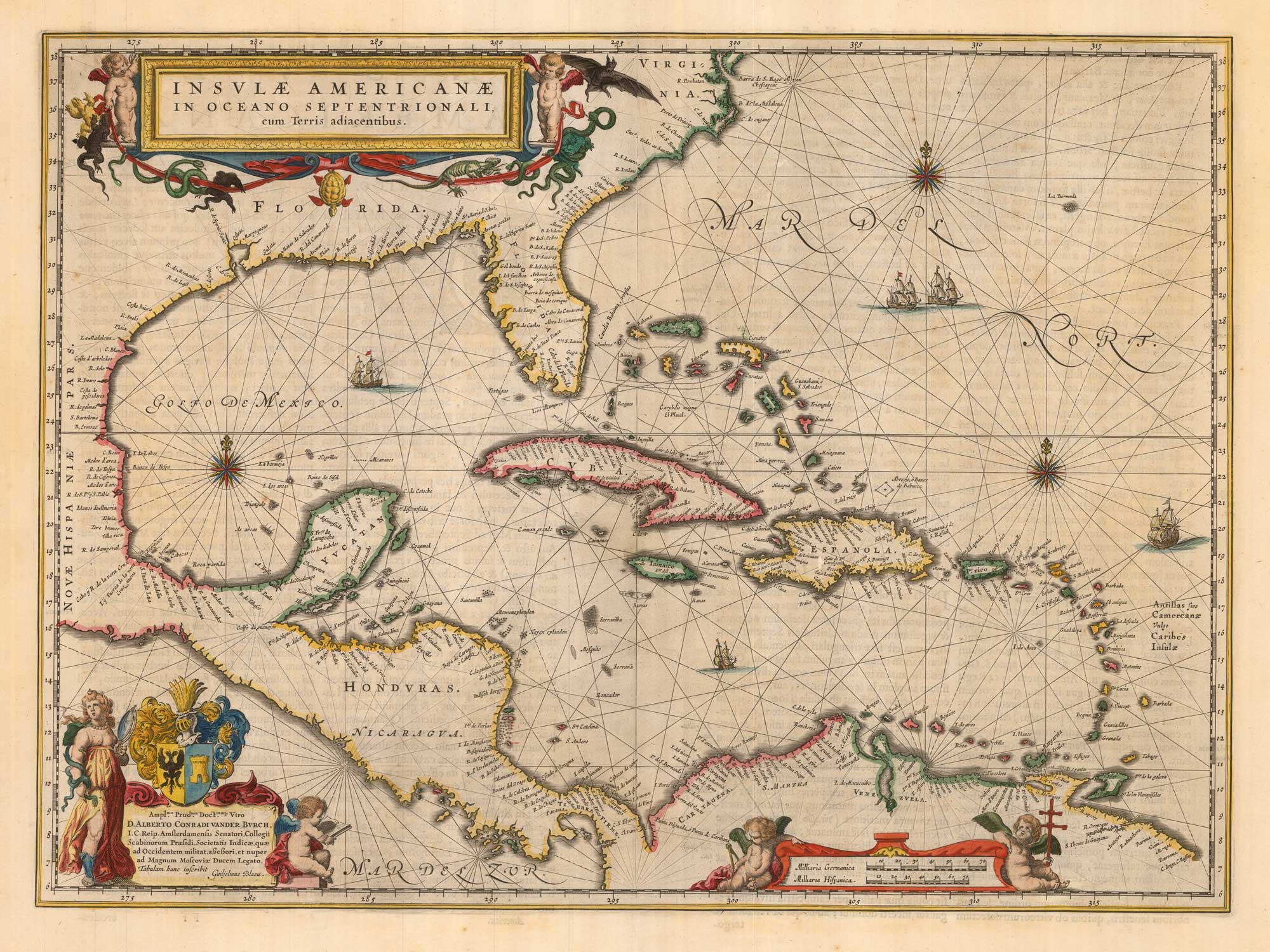
Classic 17th century map of the West Indies
BLAEU, Willem Janszoon. Date: 1662 Stock #: 22717 £1,800.00
Add to Wishlist
Add to Wishlist
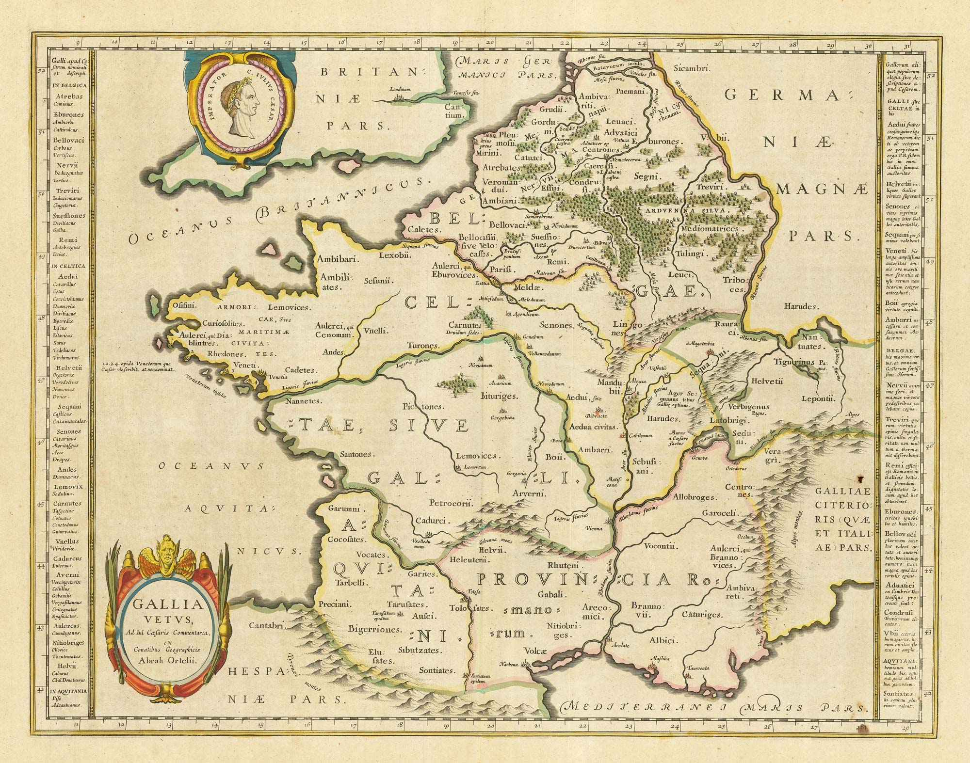
17th century Dutch map of Gaul after Ortelius
BLAEU, Willem Janszoon. Date: 1645 Stock #: 25335 £250.00
Add to Wishlist
Add to Wishlist
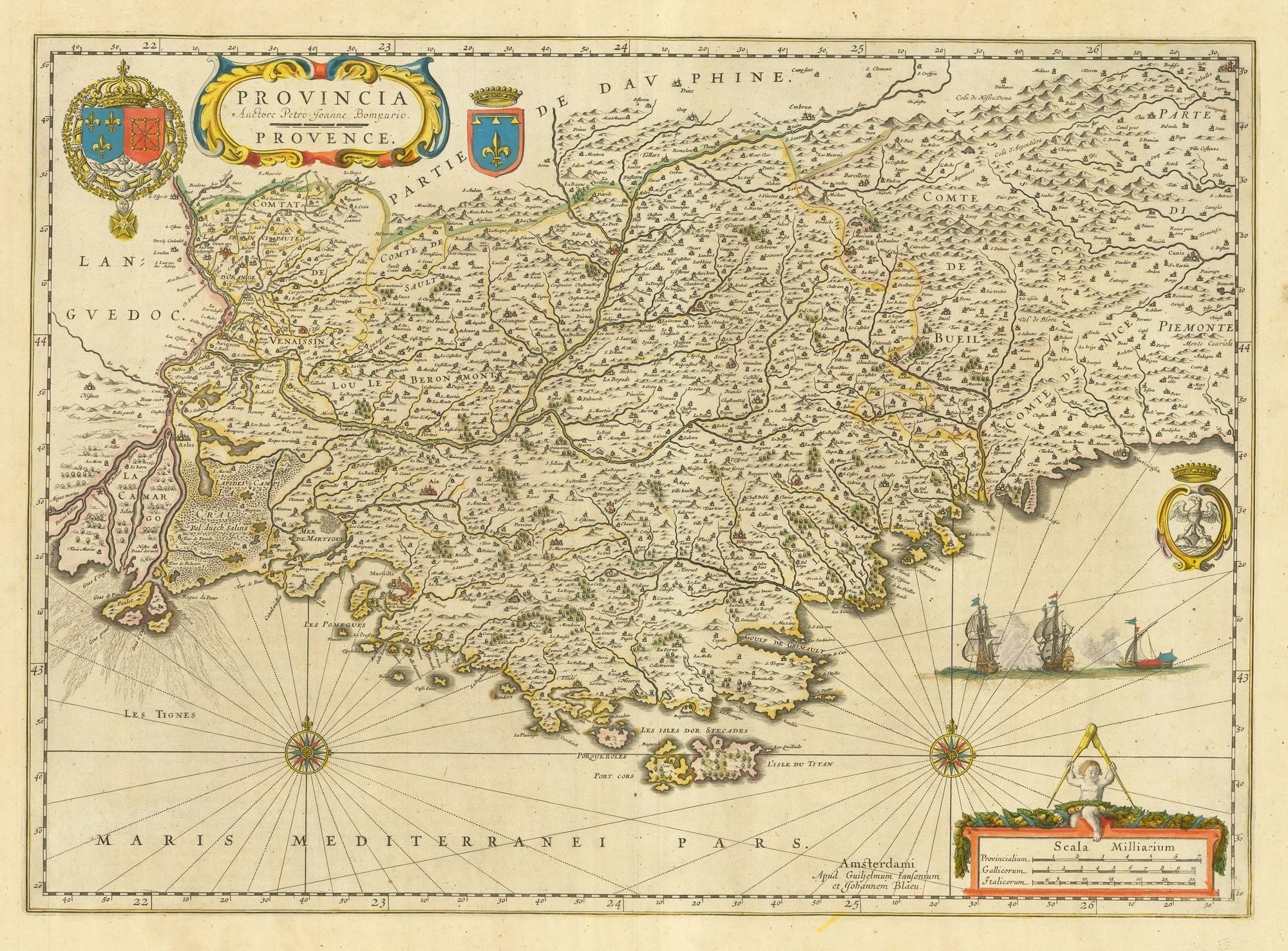
17th century map of Provence
BLAEU, Willem Janszoon. Date: 1645 Stock #: 25328 £500.00
Add to Wishlist
Add to Wishlist

A 17th century map of the environs of Nuremberg
BLAEU, Willem Janszoon. Date: 1667 Stock #: 22585 £300.00
Add to Wishlist
Add to Wishlist
