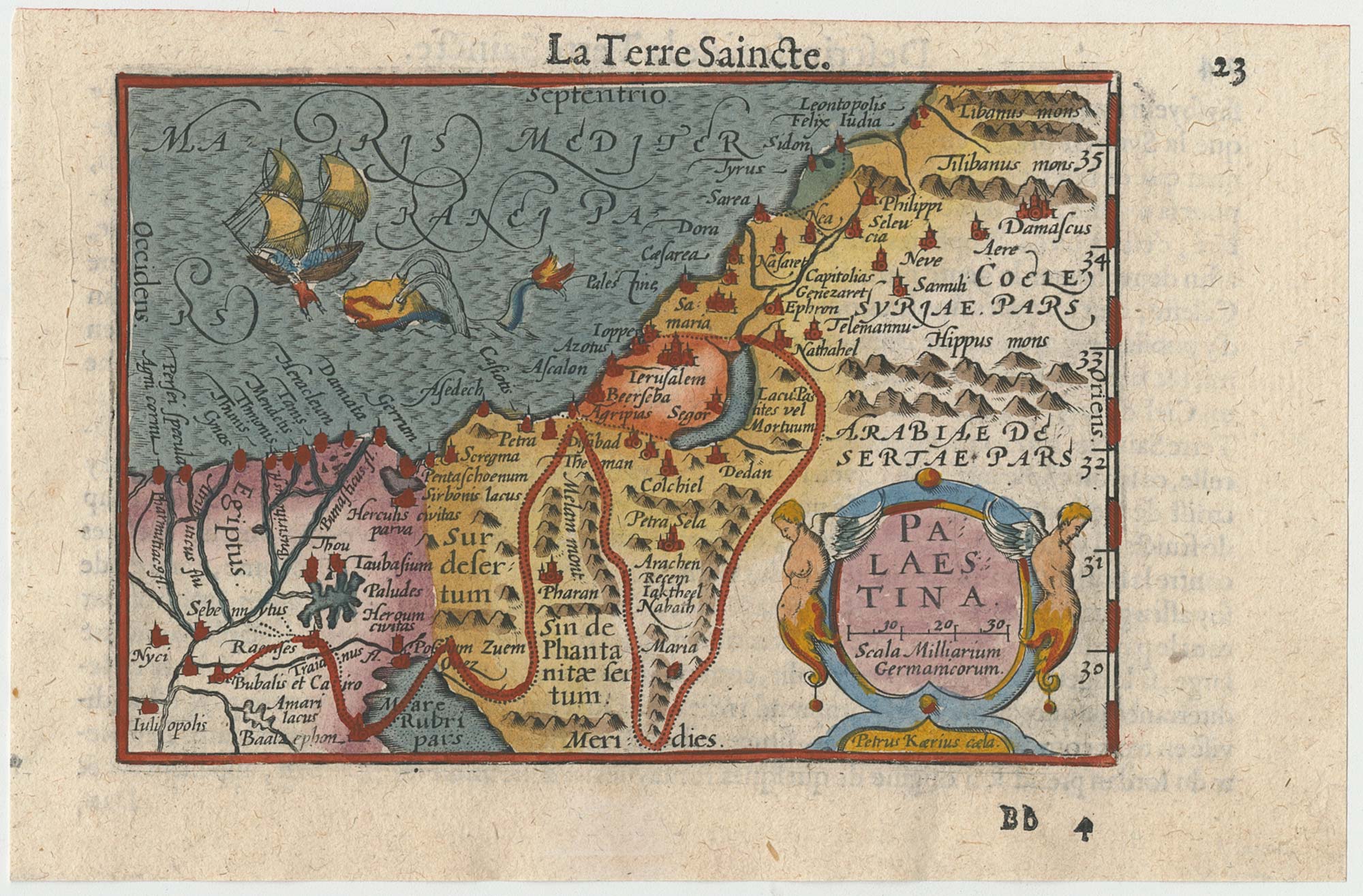


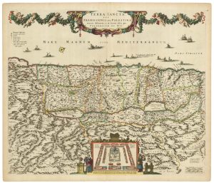
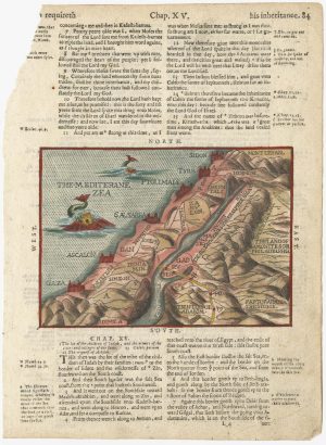
A minature map of the Holy Land
Palestina.
Amsterdam, 1609, French text edition. Coloured. 85 x 125mm, set in letterpress.
£200.00
Description
A scarce map of the Holy Land, with a vignette scene of Jonah and the whale. It was engraved by Pieter van der Keere for the 'Caert-Thresoor' by Langenes in 1598, but this example was published in the French edition of the 'Tabularum Geographicarum Contractarum' with a text by Petrus Bertius.
In 1616 a new plate was engraved by Jodocus Hondius II, slightly larger and with wider borders with scales of longitude and latitude.
Condition:
A good example.References:
LAOR: 100.Related products
-
A 16th century map of the Exodus, from a ‘Geneva Bible’
POSTEL, Guillaume. Date: 1599Stock #: 24854 £200.00 -
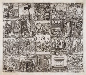
17th century Illustrations of gods recorded in the Old Testament
VAUGHAN, Robert. Date: 1650Stock #: 20704 £345.00 -
17th century map of the Holy Land
DE WIT, Frederick. Date: 1680Stock #: 25259 £680.00 -
17th century map of the Holy Land
DE ROSSI, Giovanni Giacomo. Date: 1679Stock #: 19579 £230.00 -
A 16th century ‘modern’ map of the Holy Land.
WALDSEEMULLER, Martin. Date: 1541Stock #: 25261 £1,400.00 -
Uncommon 17th century panelled map of the Holy Land
JANSSON, Jan. Date: 1677Stock #: 21897 £3,500.00 -
A 16th century map of the Holy Land from a ‘Geneva Bible’
POSTEL, Guillaume. Date: 1599Stock #: 24852 £220.00 -
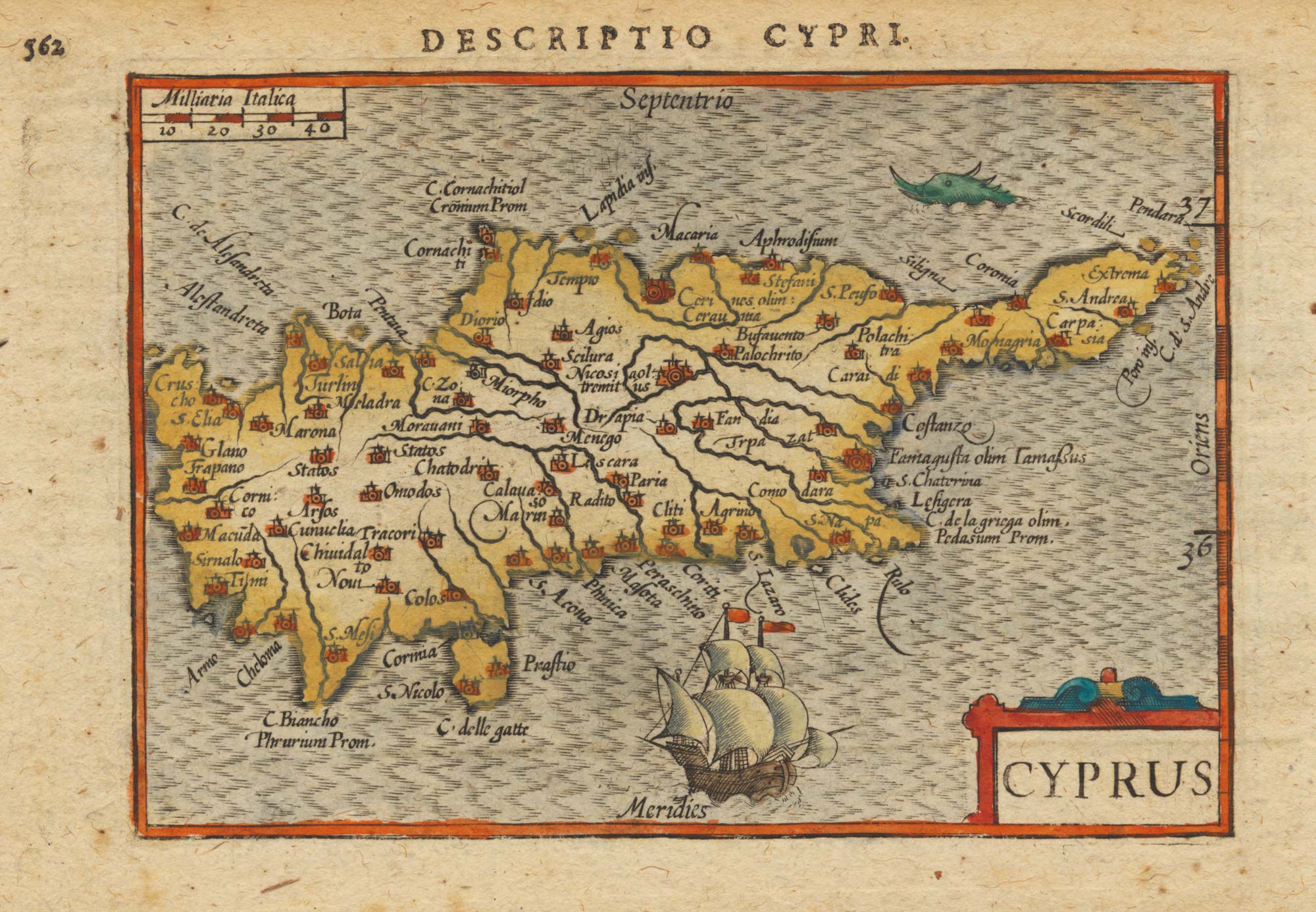
Map of the Holy Land and Cyprus for a history of the Crusades
DELISLE, Guillaume. Date: 1780Stock #: 20578 £750.00 -
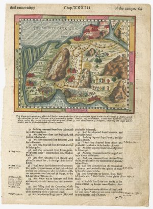
An early woodcut map of the Holy Land & Cyprus
MUNSTER, Sebastian. Date: 1552Stock #: 25310 £360.00
Items by the same author
Add to Wishlist
Add to Wishlist
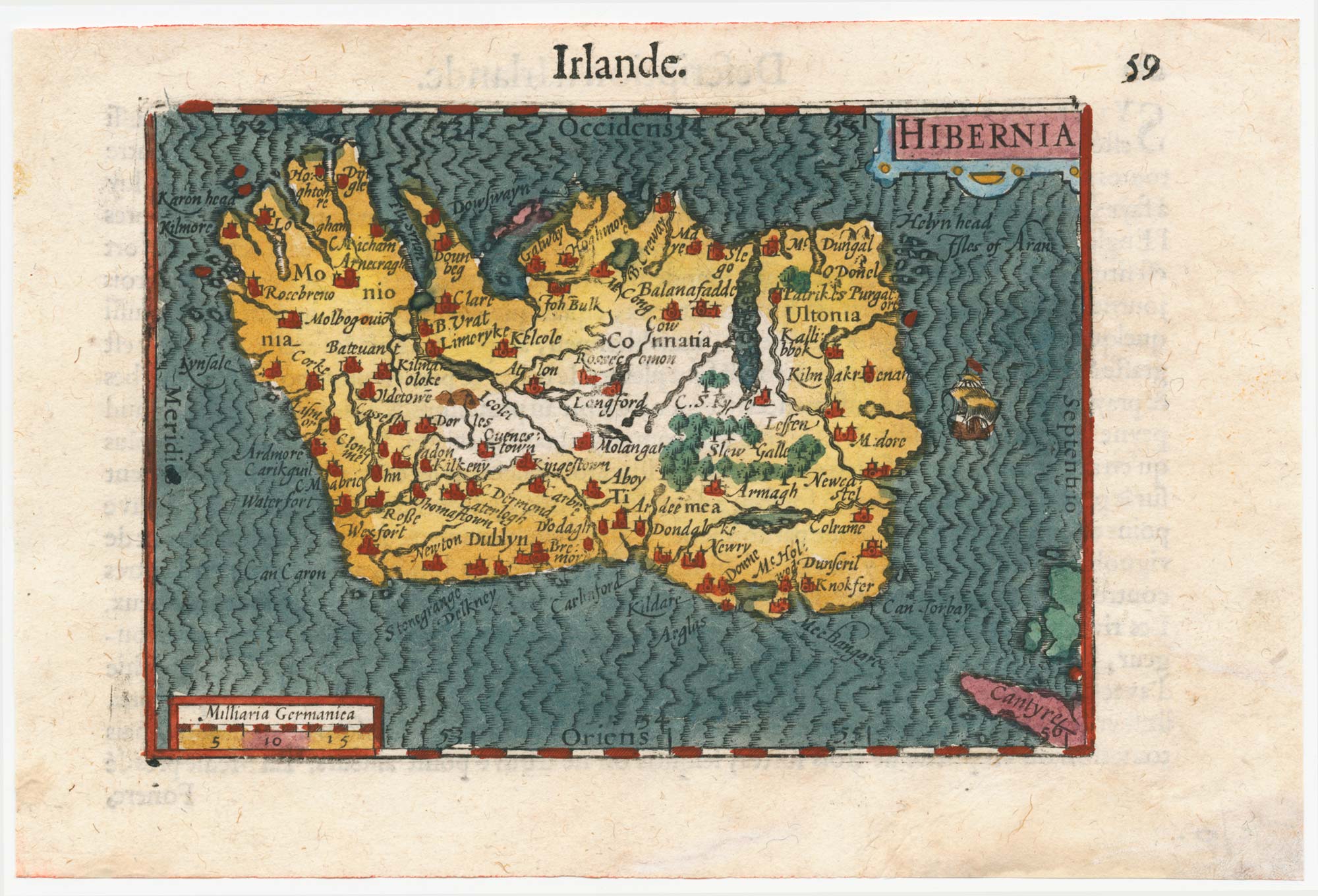
Early 17th century miniature map of Ireland
BERTIUS, Petrus. Date: 1609 Stock #: 24845 £240.00
Add to Wishlist
Add to Wishlist
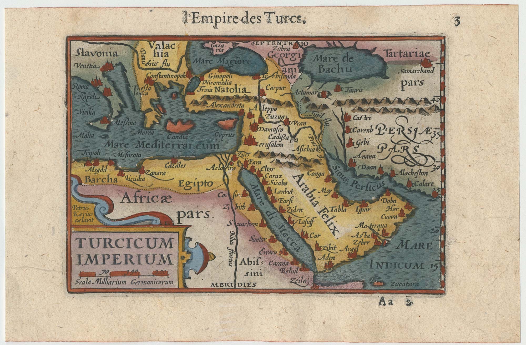
Early 17th century miniature map of the Turkish Empire
BERTIUS, Petrus. Date: 1609 Stock #: 24846 £250.00
Add to Wishlist
Add to Wishlist
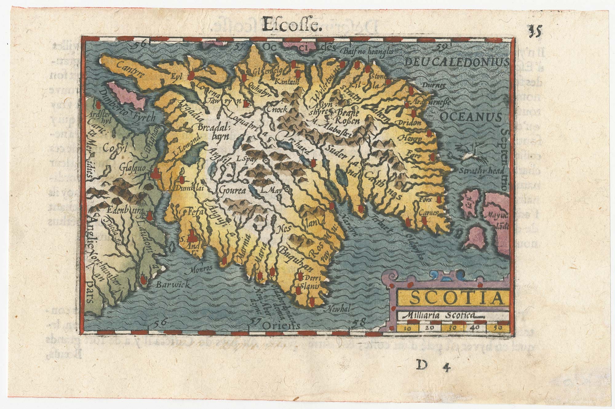
A minature map of Scotland
BERTIUS, Petrus. Date: 1609 Stock #: 24847 £250.00
Add to Wishlist
Add to Wishlist
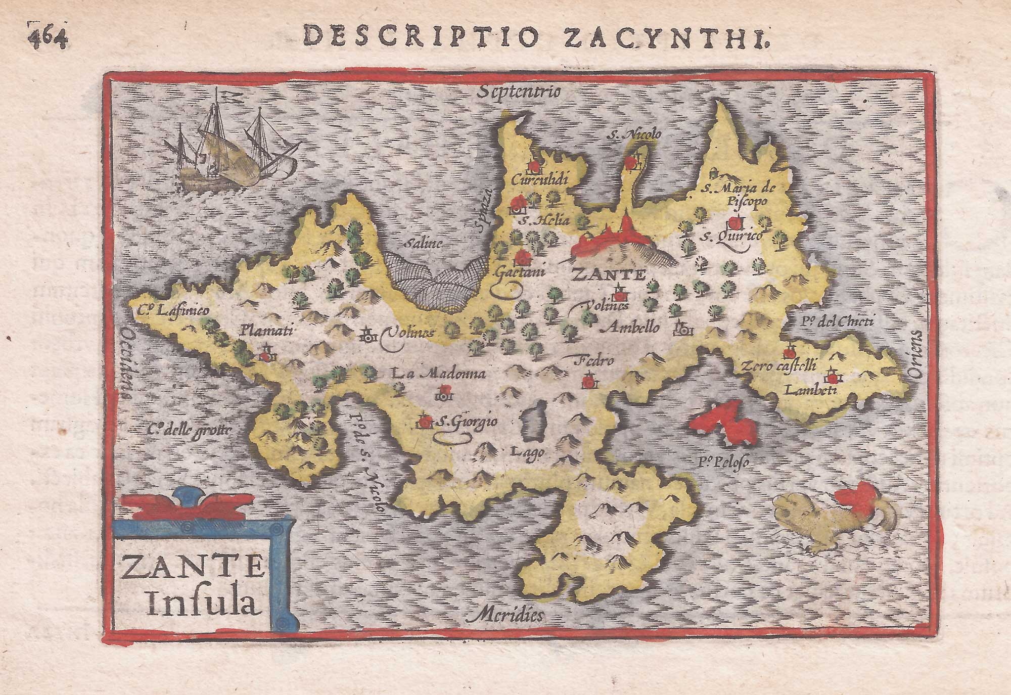
A minature map of Zante
BERTIUS, Petrus. Date: 1606 Stock #: 21813 £200.00
Add to Wishlist
Add to Wishlist
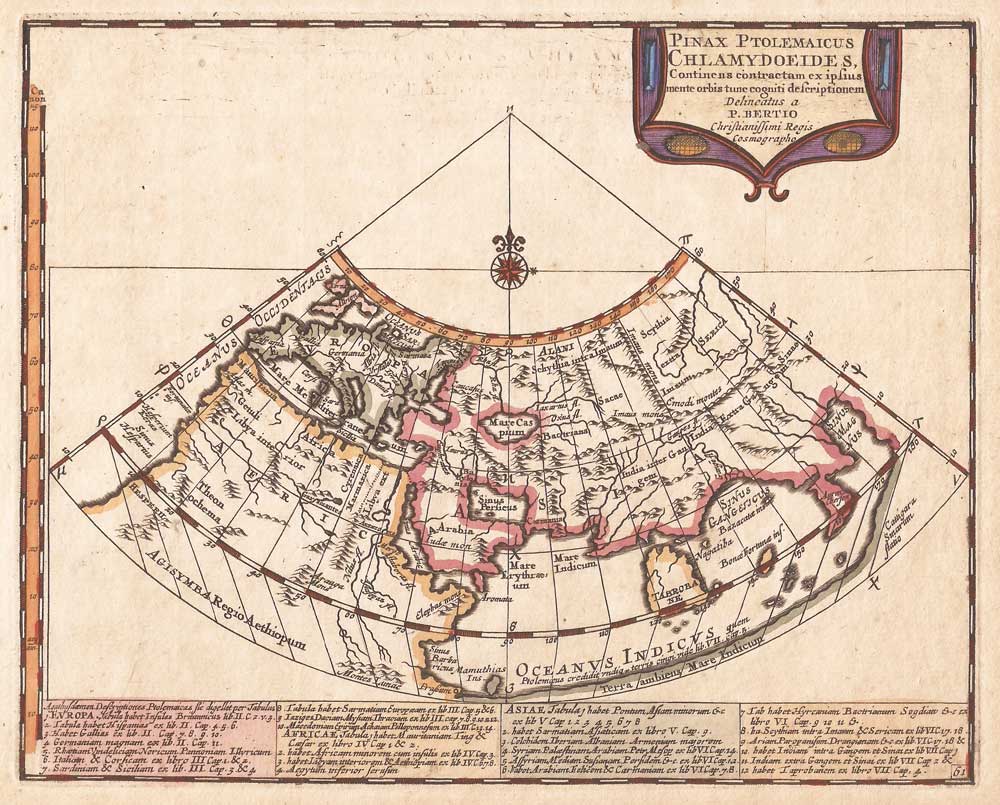
An uncommon Ptolemaic world map
BERTIUS, Petrus. Date: 1696 Stock #: 21189 £300.00
Add to Wishlist
Add to Wishlist