

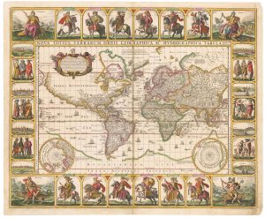
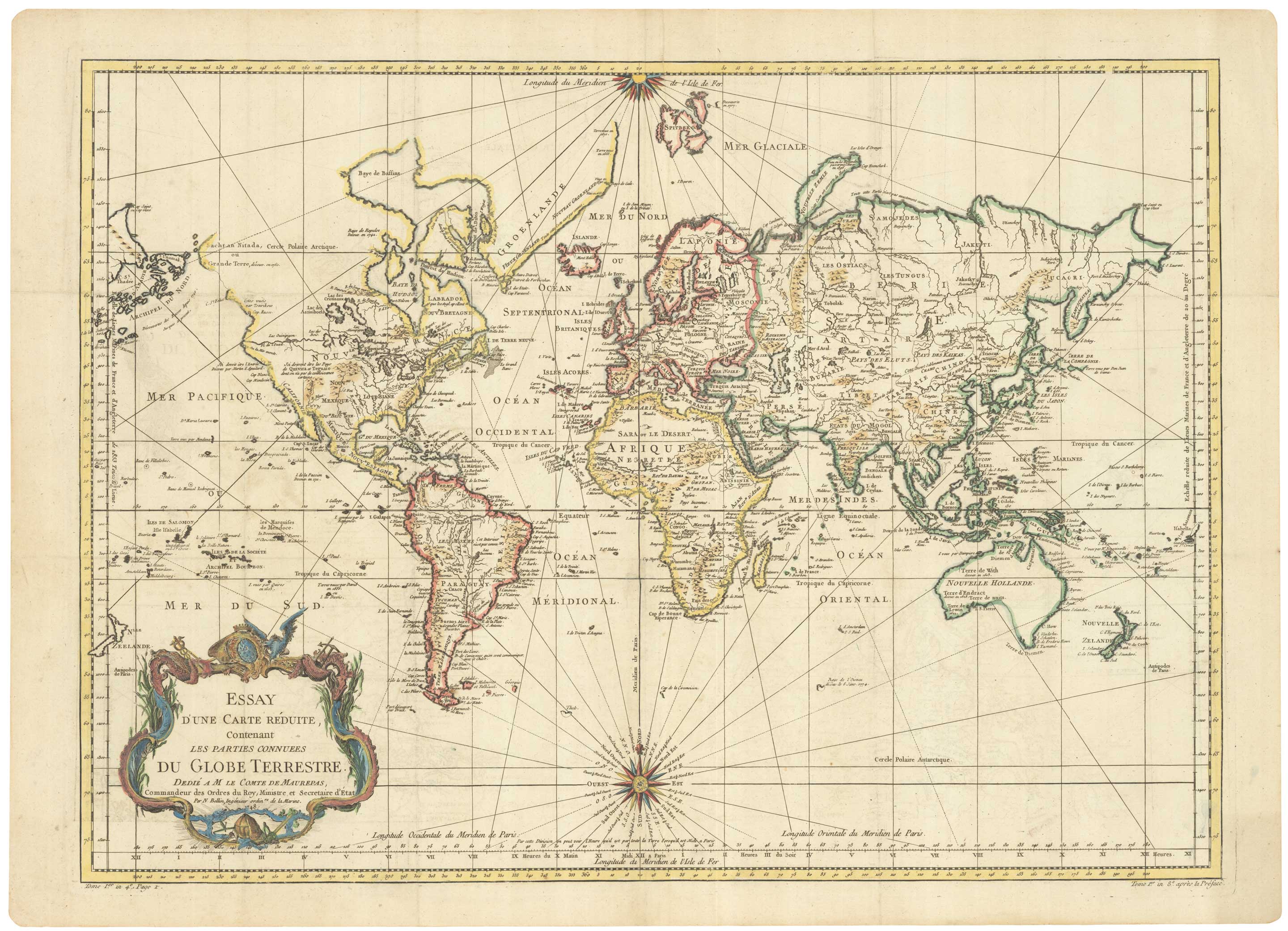
18th century nautical chart on Mercator’s Projection
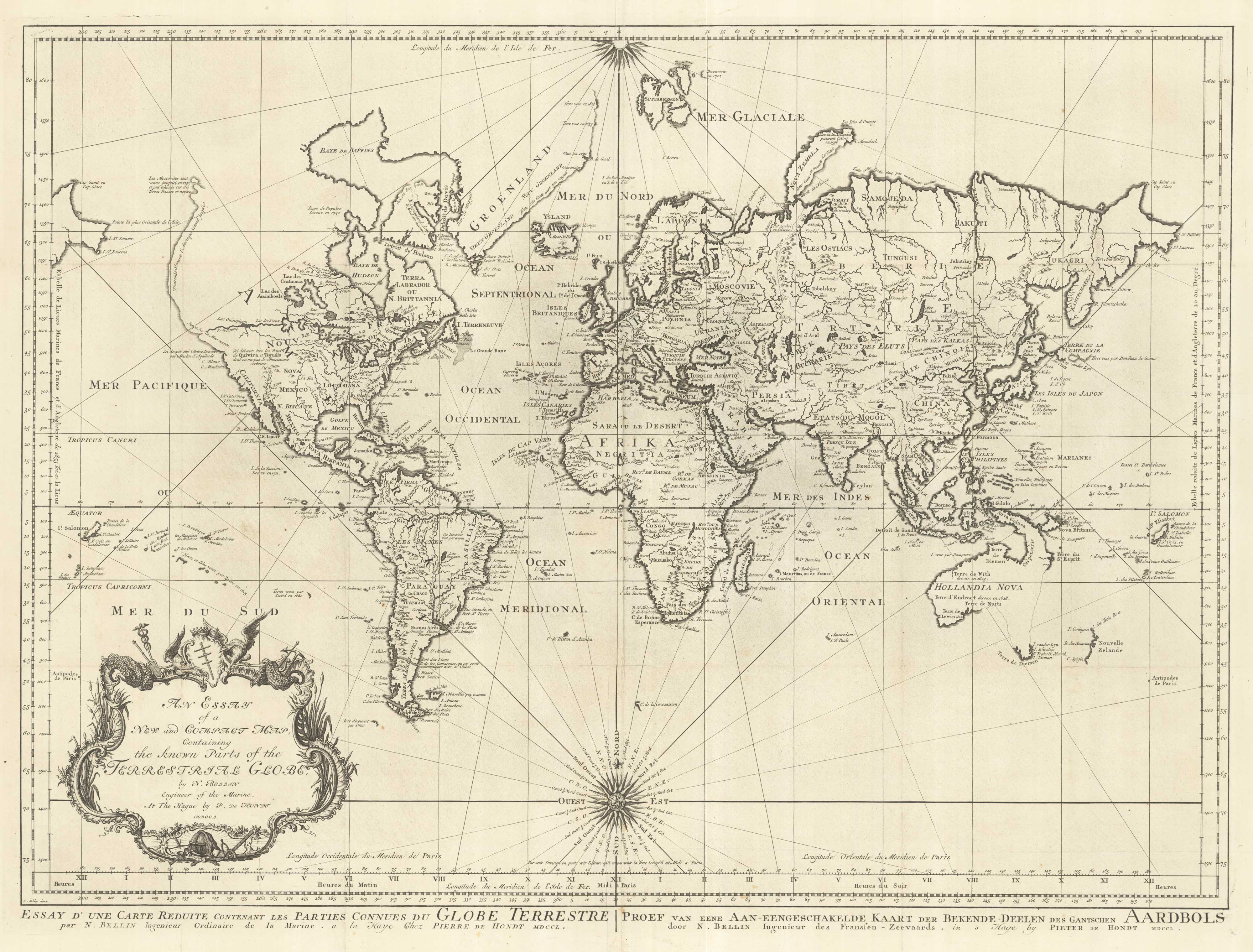
An Essay of a New and Compact Map Containing the Known Parts of the Terrestrial Globe by N. Bellin Engineer of the Marine.
The Hague, Pieter de Hondt, c.1750. 520 x 700mm.
£1,600.00
1 in stock
x
Question About This Item?
18th century nautical chart on Mercator’s Projection & BELLIN, Jacques-Nicolas.Stock #: 25151
Add to Wishlist
Export as PDFEnquireSimilar to Sell?Add to Wishlist
Description
A scarce Dutch edition of Bellin's influential mid-eighteenth century sea chart of the world on Mercator's Projection, engraved by Schley after Bellin's original, showing what was known twenty years before Cook's first circumnavigation. Australia and New Zealand are partial outlines; Jesso and Campanies Land appear above Japan; and north west America is lightly shaded to show a supposed coast, with a waterway from the Great Lakes almost to the Pacific Coast, a potential North West Passage.
Condition:
Binding folds flattened.Related products
-
Pair of 19th century map of the world’s hemispheres
TALLIS, John. Date: 1851Stock #: 23387 £500.00 -
A late-19th century double-hemisphere world map in Cyrillic
IL'IN, A. Date: 1890Stock #: 19431 £1,900.00 -
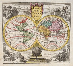
18th century double-hemisphere world map
MONATH, Peter Conrad. Date: 1749Stock #: 20464 £1,250.00 -

A mid-18th century Italian world map with allegorical figures of the continents
ALBRIZZI, Giovanni Battista. Date: 1742Stock #: 22318 £1,250.00 -
A world map with portraits of the Twelve Caesars
VISSCHER, Claes Janszoon. Date: 1652Stock #: 17720 £20,000.00 -
De Jode’s rare cordiform world map in fine original colour
DE JODE, Gerard. Date: 1578Stock #: 25173 Price on Application -
The world as known to the Ancients
CASSINI, Giovanni Maria. Date: 1801Stock #: 13936 £1,200.00 -
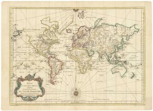
A large sea chart of the World on Mercator’s Projection
BELLIN, Jacques-Nicolas. Date: 1775Stock #: 25116 £1,600.00 -
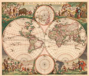
A 17th century Dutch World map with superb decorative borders
DE WIT, Frederick. Date: 1670Stock #: 23590 £5,500.00
Items by the same author
Add to Wishlist
Add to Wishlist
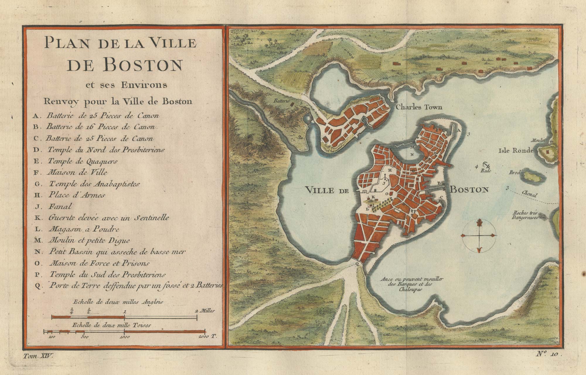
An 18th century town plan of Boston
BELLIN, Jacques-Nicolas. Date: 1760 Stock #: 25451 £380.00
Add to Wishlist
Add to Wishlist
A large sea chart of the World on Mercator's Projection
BELLIN, Jacques-Nicolas. Date: 1775 Stock #: 25116 £1,600.00
Add to Wishlist
Add to Wishlist
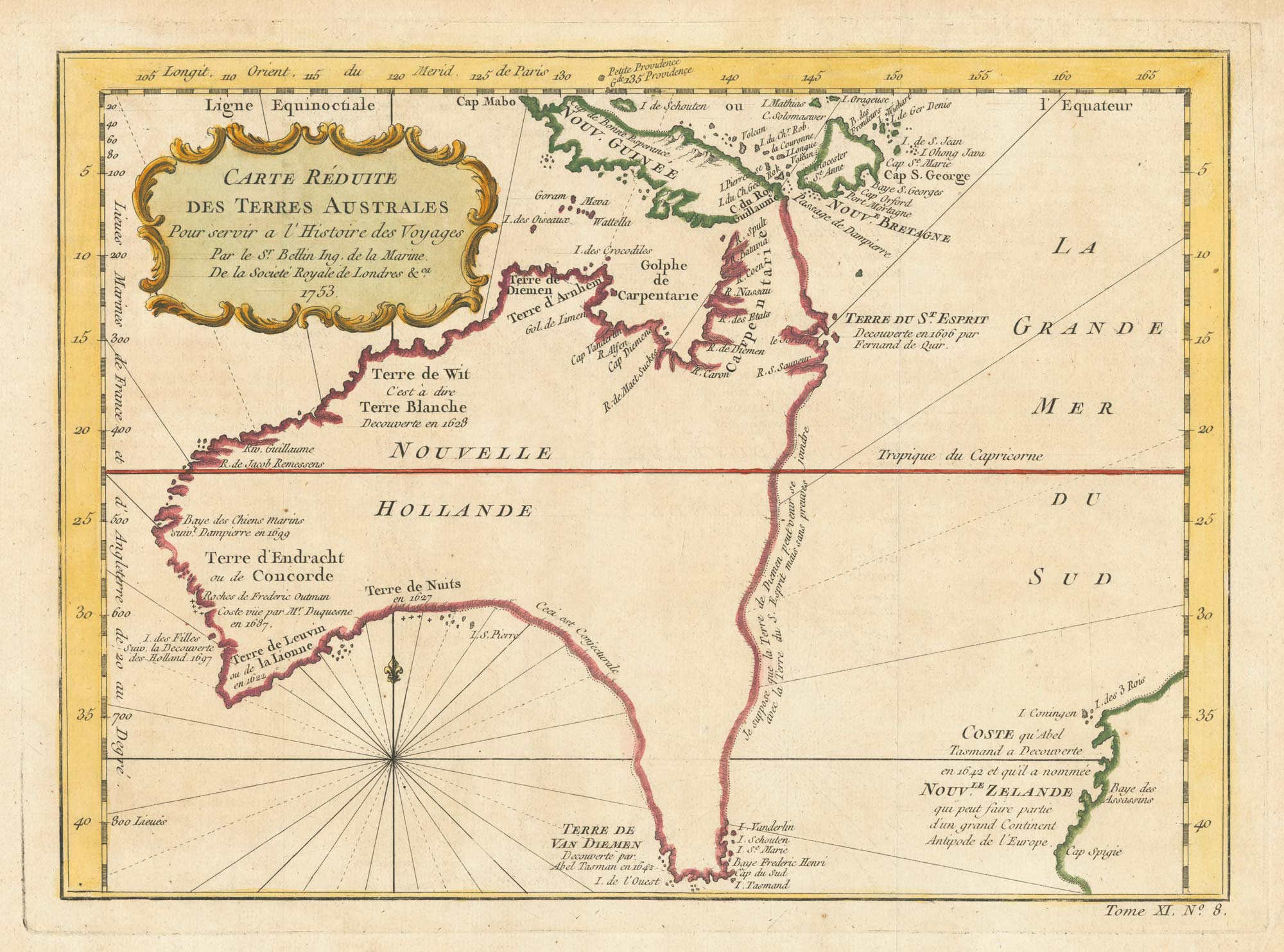
A pre-Cook discoveries map of Australia
BELLIN, Jacques-Nicolas. Date: 1753 Stock #: 25052 £1,000.00
Add to Wishlist
Add to Wishlist
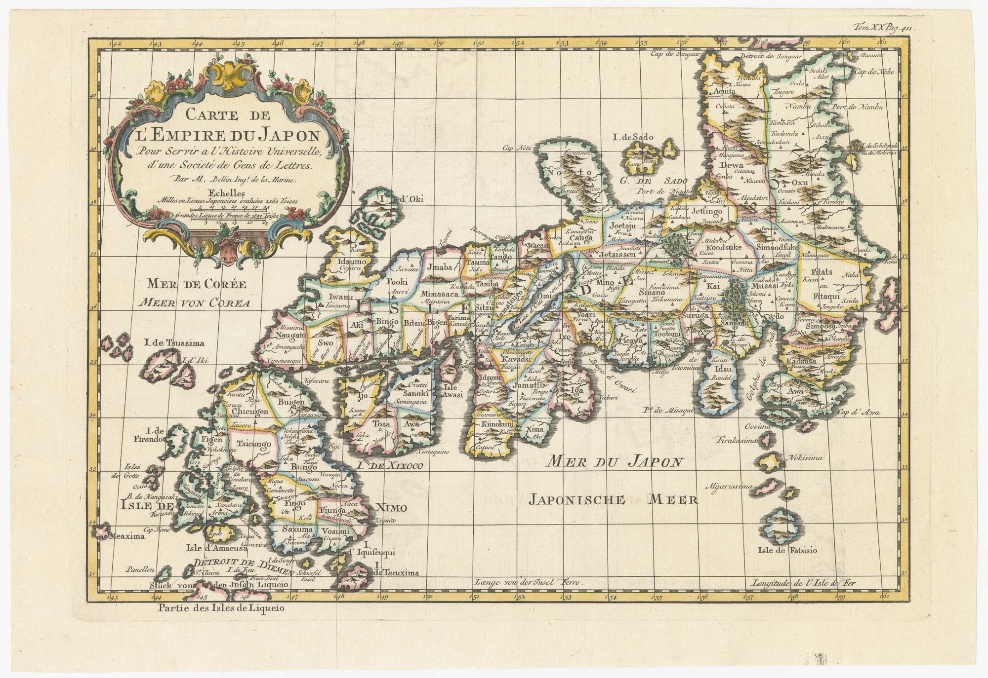
18th century map of Japan
BELLIN, Jacques-Nicolas. Date: 1752 Stock #: 24729 £320.00
Add to Wishlist
Add to Wishlist
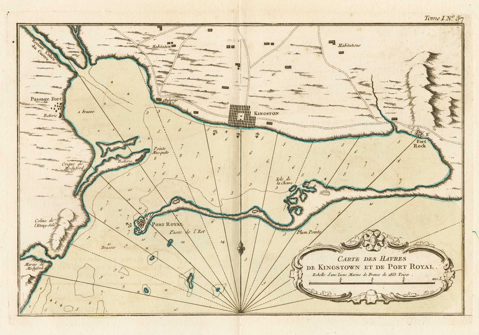
Map of Kingston in Jamaica
BELLIN, Jacques-Nicolas. Date: 1764 Stock #: 23713 £175.00
Add to Wishlist
Add to Wishlist