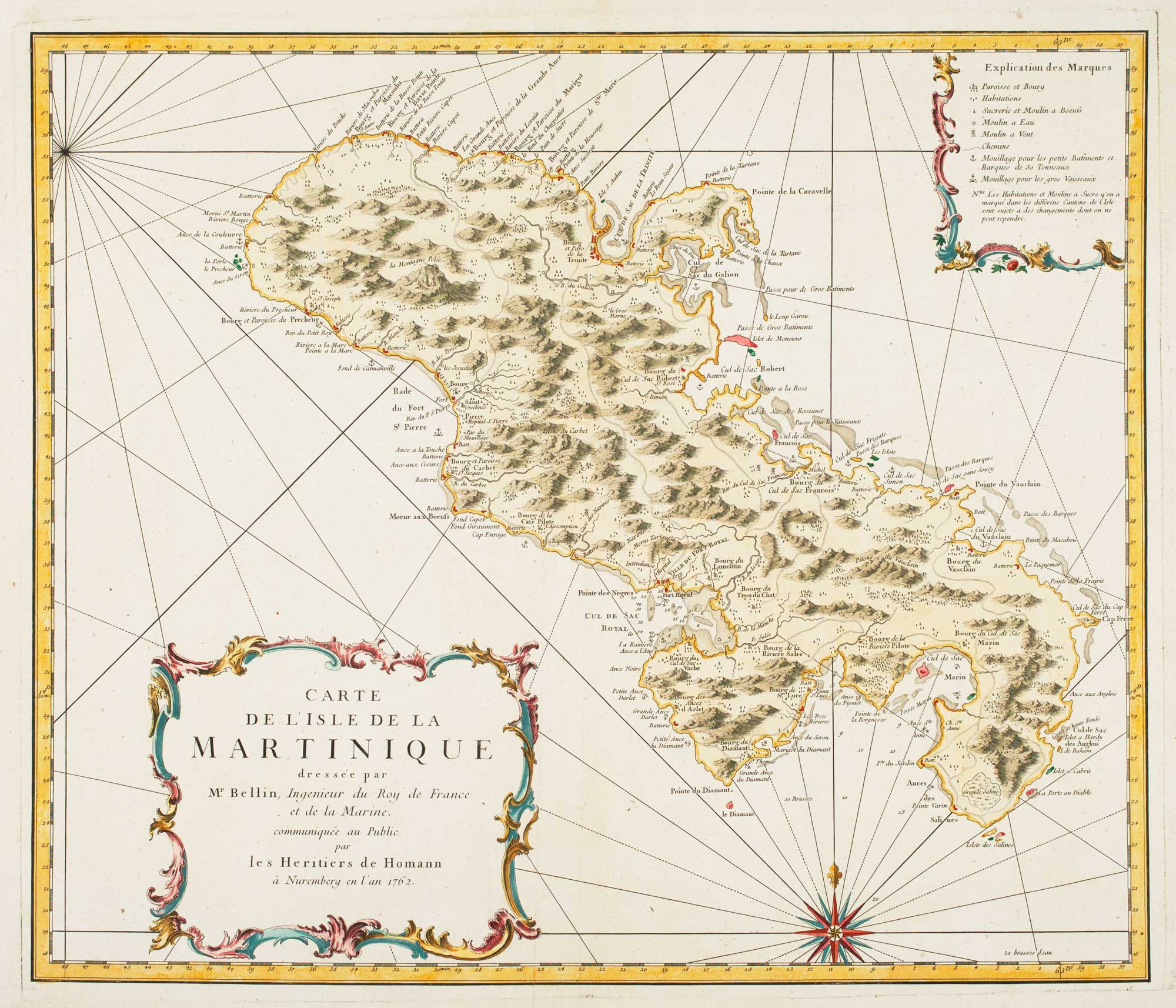


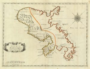
Detailed map of Martinique published during the Seven Years’ War
Carte de L'Isle de Martinique...
Nuremberg: Homann's Heirs, 1762. Coloured. 480 x 550mm.
£600.00
1 in stock
x
Question About This Item?
Detailed map of Martinique published during the Seven Years’ War & BELLIN, Jacques-Nicolas.Stock #: 14635
Add to Wishlist
Export as PDFEnquireSimilar to Sell?Add to Wishlist
Description
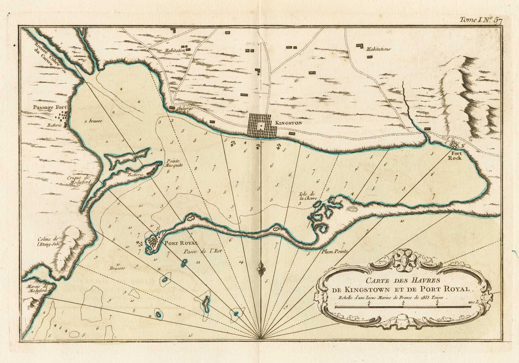
Bellin's map of Martinique here republished on a larger scale because of increased interest due to the British capture of the island from the French in February 1762, an action of the Seven Years' War. Britain had made a policy of capturing French colonies, thus acquiring bargaining chips for the Treaty of Paris that ended the war in 1763. France chose to retain Martinique because of its lucrative sugar industry, allowing Canada to be ceded to Britain.
Condition:
A good example.Related products
-
18th century map of Martinique in fine colour
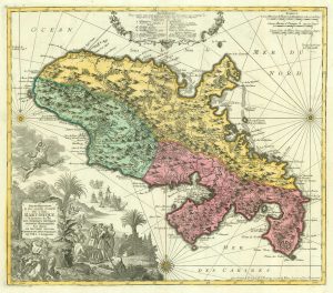
SEUTTER, Matthaus. Date: 1730Stock #: 19343 £550.00 -
Early 18th century map of Martinique
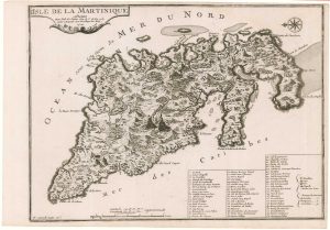
FER, Nicolas de. Date: 1704Stock #: 18419 £250.00 -
A scarce 17th century French map of Martinique
MARIETTE, Pierre. Date: 1650Stock #: 21841 £400.00 -
18th century map of Martinique
COVENS & MORTIER. Date: 1740Stock #: 12311 £650.00 -
Map of 18th-century Martinique
JEFFERYS, Thomas. Date: 1779Stock #: 12317 £550.00 -
17th century map of Martinique in fine colour
VISSCHER, Nicolas Jansz. Date: 1657Stock #: 24747 £600.00
Items by the same author
Add to Wishlist
Add to Wishlist
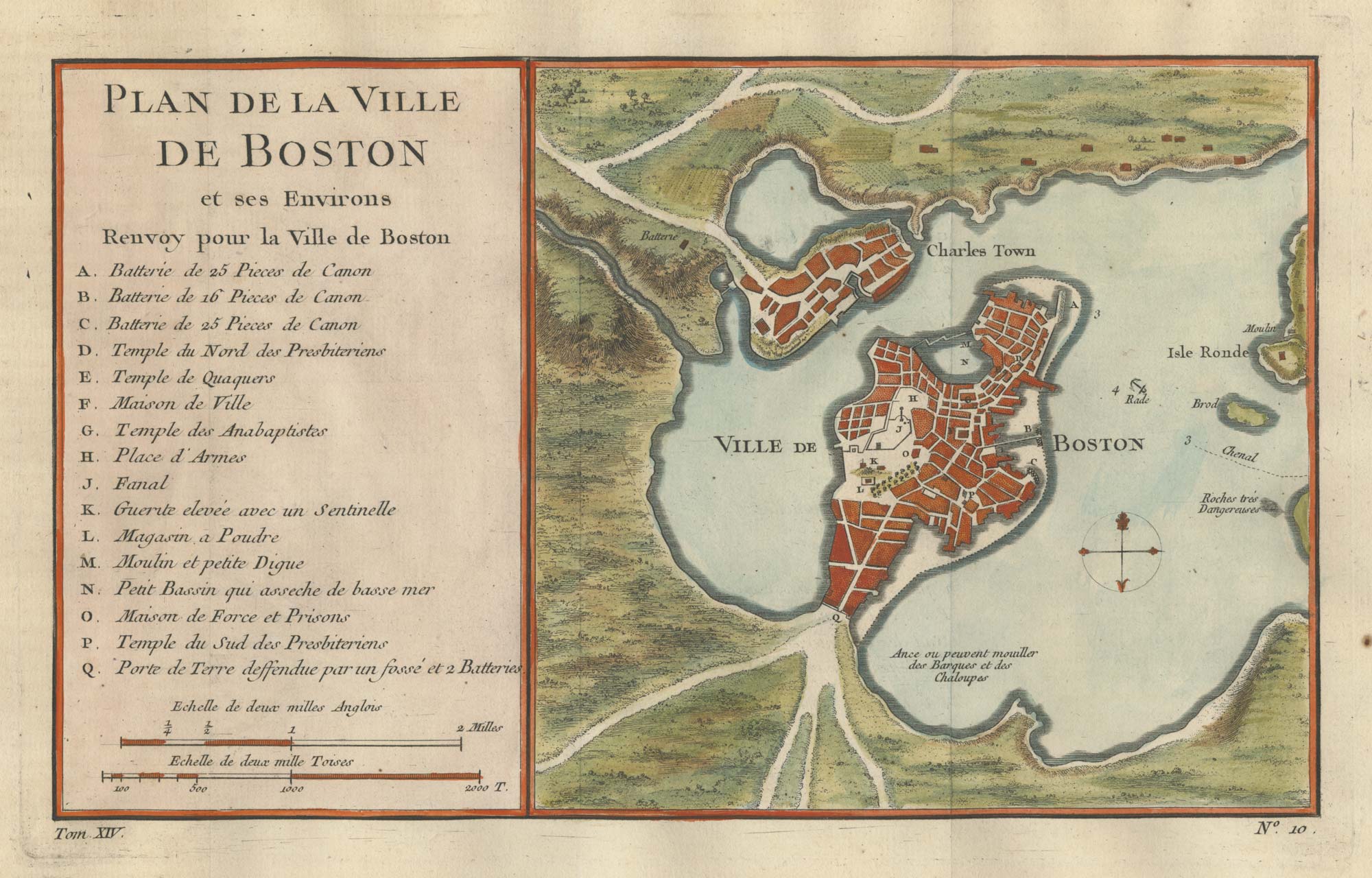
An 18th century town plan of Boston
BELLIN, Jacques-Nicolas. Date: 1760 Stock #: 25451 £380.00
Add to Wishlist
Add to Wishlist
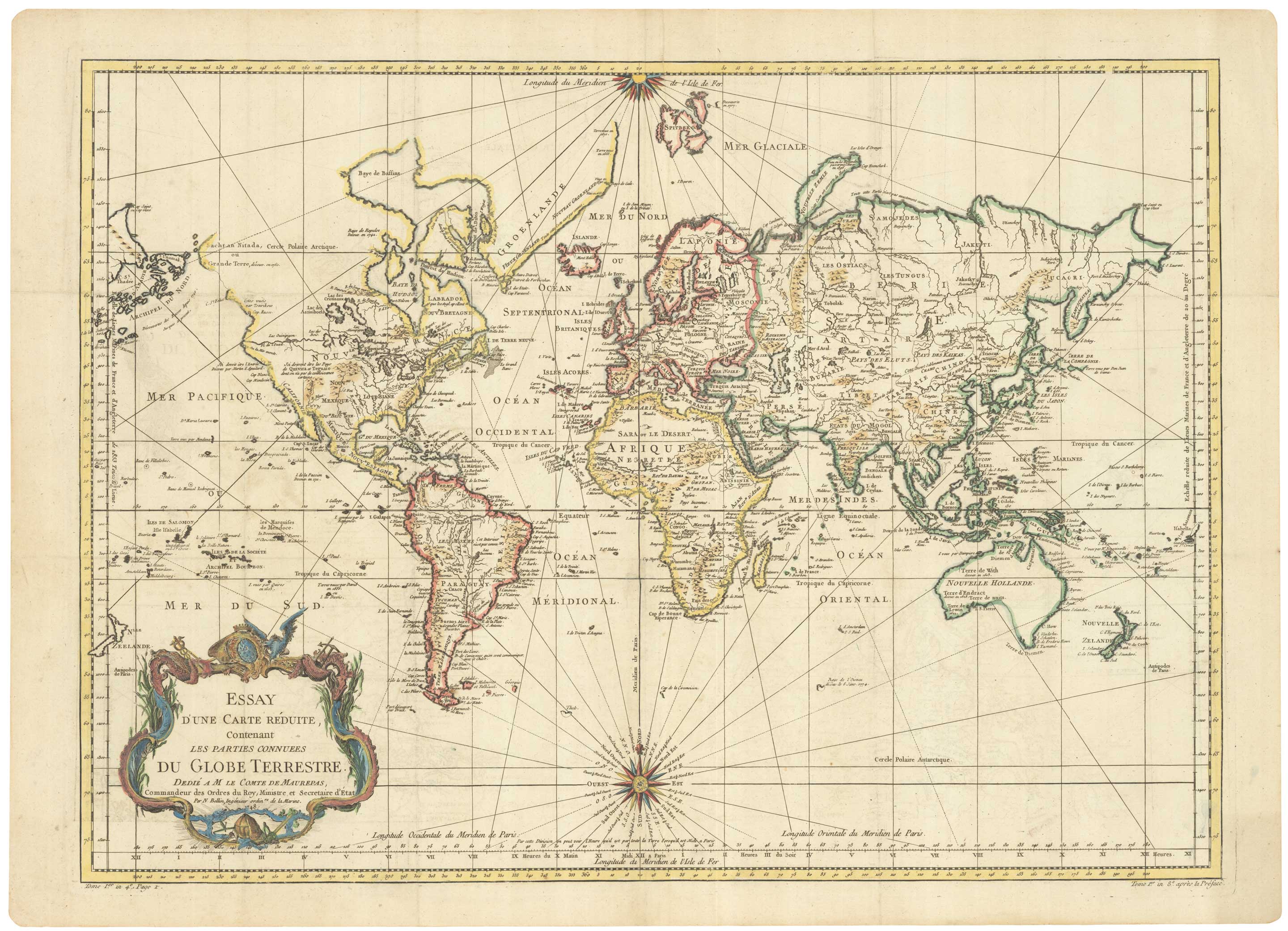
A large sea chart of the World on Mercator's Projection
BELLIN, Jacques-Nicolas. Date: 1775 Stock #: 25116 £1,600.00
Add to Wishlist
Add to Wishlist
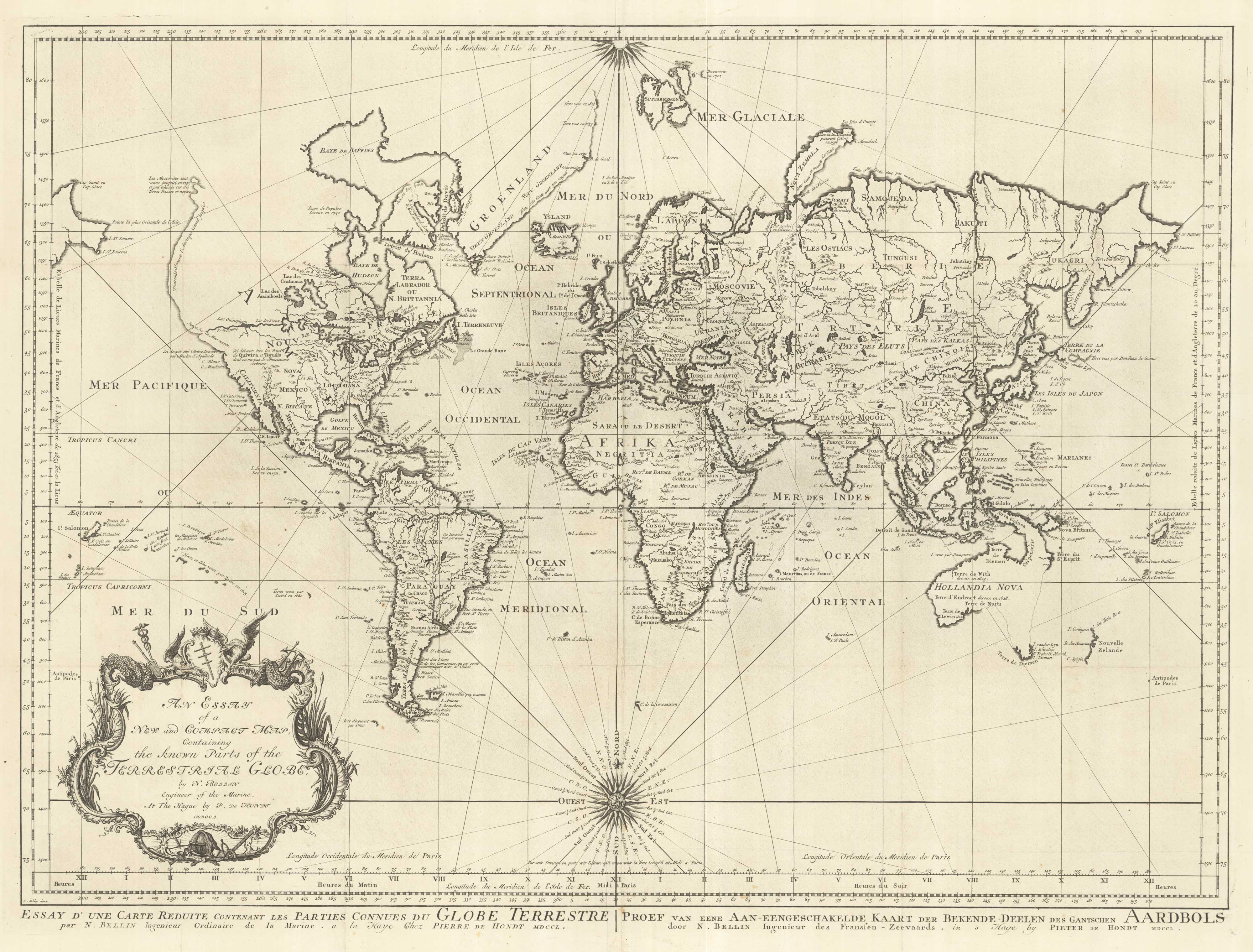
18th century nautical chart on Mercator's Projection
BELLIN, Jacques-Nicolas. Date: 1750 Stock #: 25151 £1,600.00
Add to Wishlist
Add to Wishlist
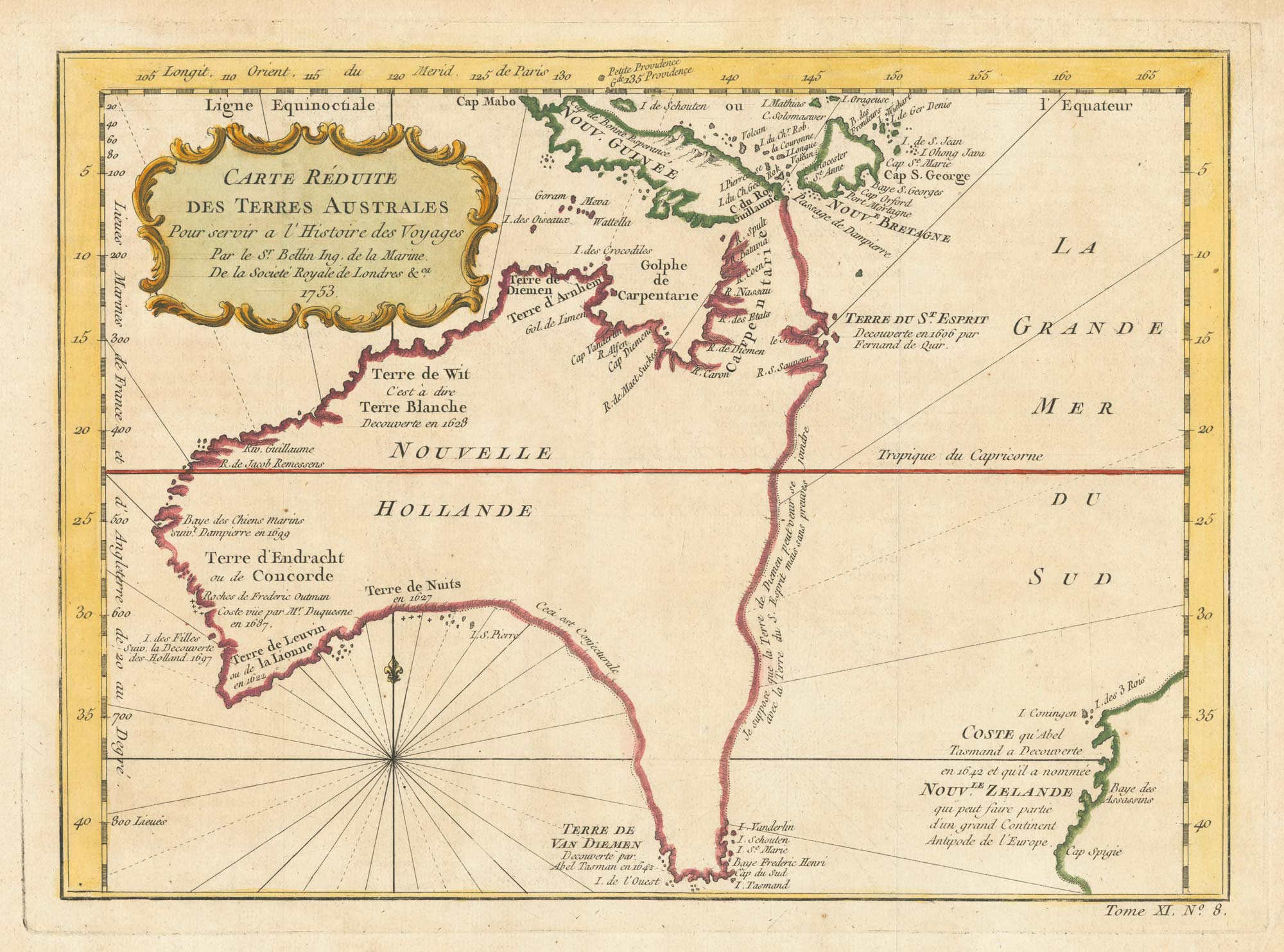
A pre-Cook discoveries map of Australia
BELLIN, Jacques-Nicolas. Date: 1753 Stock #: 25052 £1,000.00
Add to Wishlist
Add to Wishlist
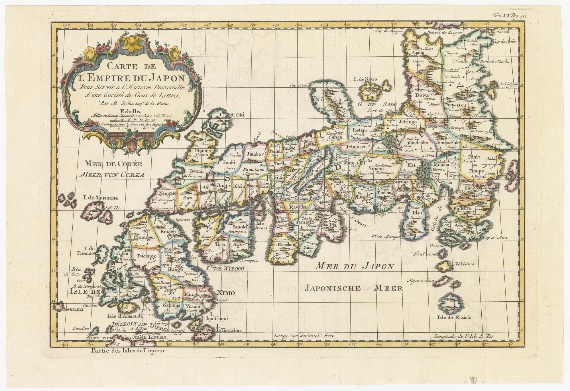
18th century map of Japan
BELLIN, Jacques-Nicolas. Date: 1752 Stock #: 24729 £320.00
Add to Wishlist
Add to Wishlist