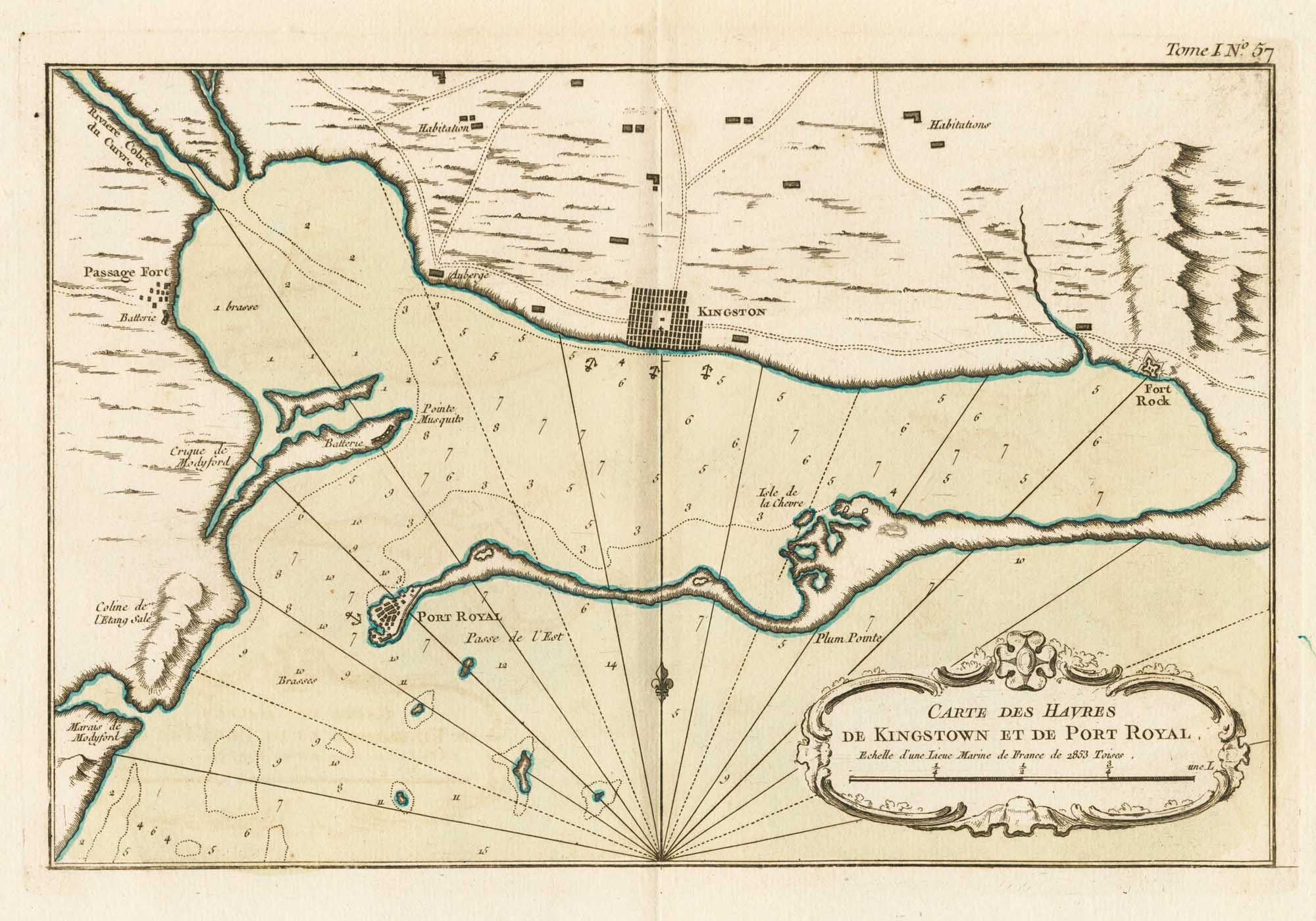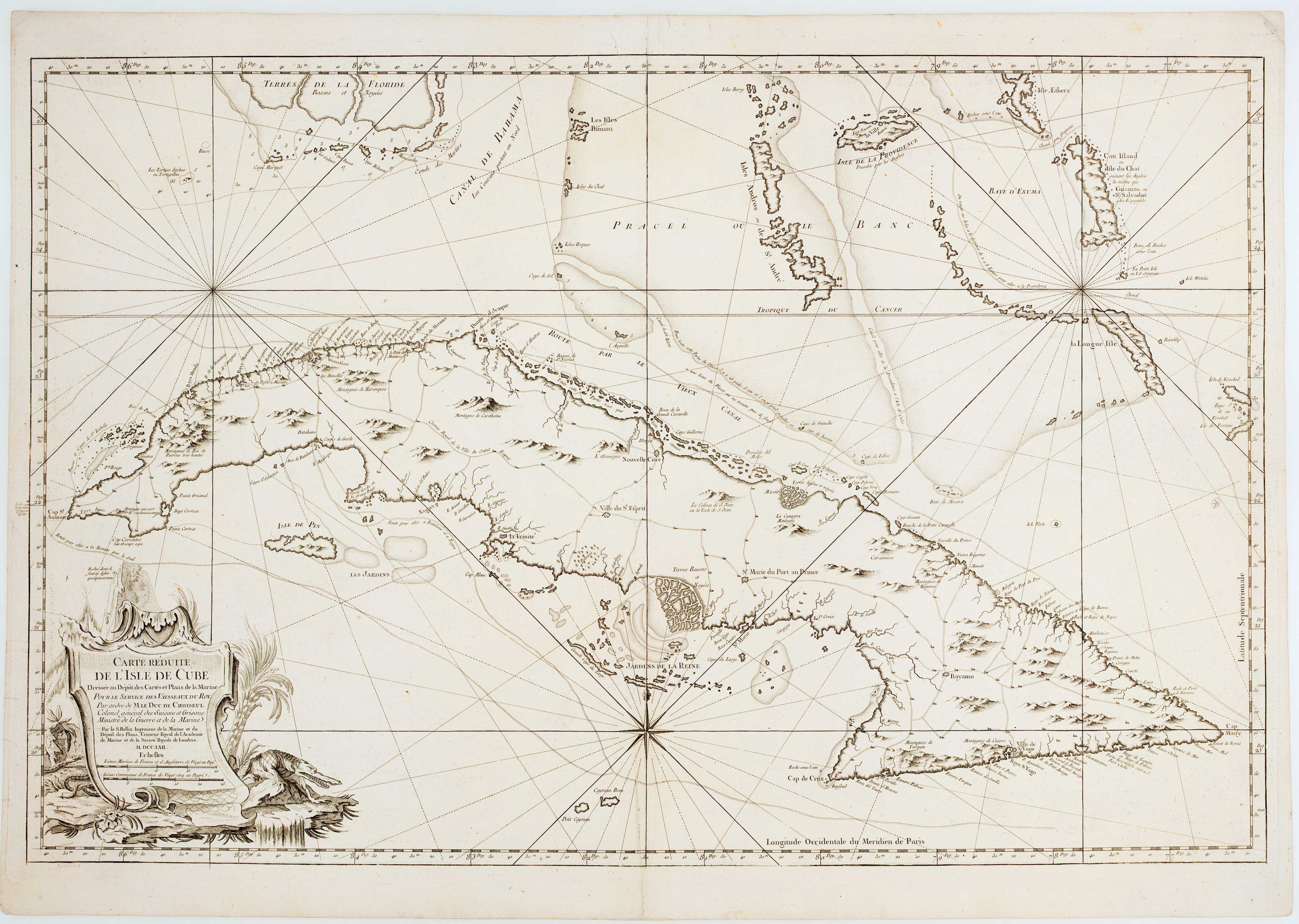


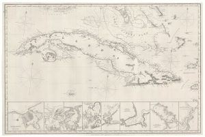
18th century sea chart of Cuba
Carte Réduite de L'Isle de Cuba...
Paris, Dépôt de la Marine, c.1762. 590 x 890mm.
£1,400.00
Description
Large and detailed chart of Cuba with a rococo title cartouche.
In 1762 the British took Havana from the Spanish, but returned it according to the Treaty of Paris the following year.
Bellin was the first Chief Hydrographer of the Dépôt, the French equivalent of the British Admiralty.
Condition:
A good example.References:
Not in Cueto.Related products
-
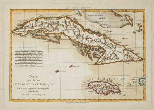
Cuba & Jamaica
BONNE, Rigobert. Date: 1782Stock #: 15653 £240.00 -
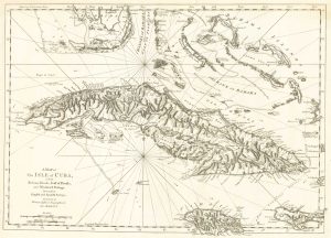
A map of Cuba during the Seven Years’ War
JEFFERYS, Thomas. Date: 1762Stock #: 19272 £1,100.00 -
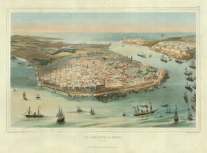
An early bird’s-eye view of Havana
BACHMANN, John. Date: 1851Stock #: 19264 £3,250.00 -
A 19th century blue-back sea chart of Cuba
IMRAY, James. Date: 1873Stock #: 19010 £2,000.00 -
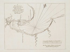
An 18th century chart of Matanzas Bay
PEARSON, Robert. Date: 1748Stock #: 16952 £160.00 -
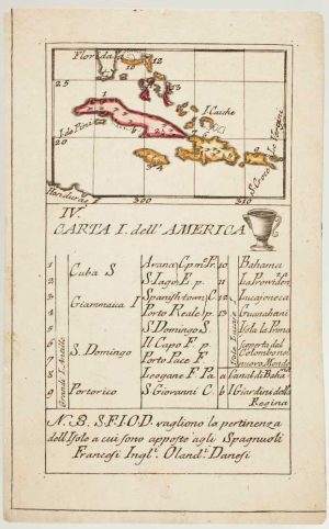
An 18th century playing-card map of northern islands of the West Indies
RABATTA, Augusto & BAILOU, Jean Baptist de. Date: 1779Stock #: 13032 £280.00 -
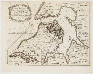
Havana during the Seven Years’ War
HINTON, John. Date: 1762Stock #: 17097 £500.00 -
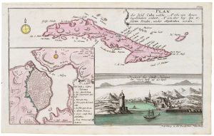
Cuba, during the Seven Years’ War
RASPE, Gabriel Nikolaus. Date: 1763Stock #: 20680 £350.00 -
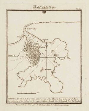
Chart of Havana Harbour
LUFFMAN, John. Date: 1802Stock #: 12805 £150.00
Items by the same author
Add to Wishlist
Add to Wishlist
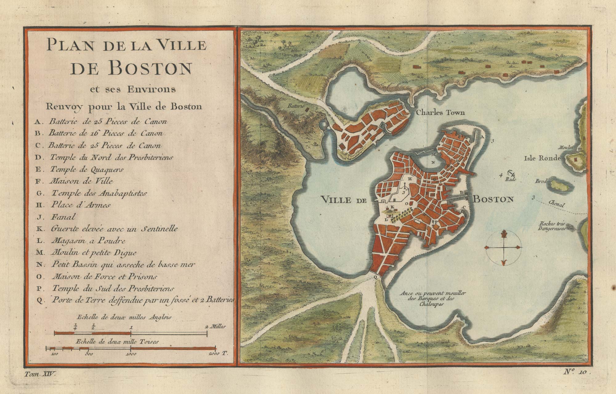
An 18th century town plan of Boston
BELLIN, Jacques-Nicolas. Date: 1760 Stock #: 25451 £380.00
Add to Wishlist
Add to Wishlist
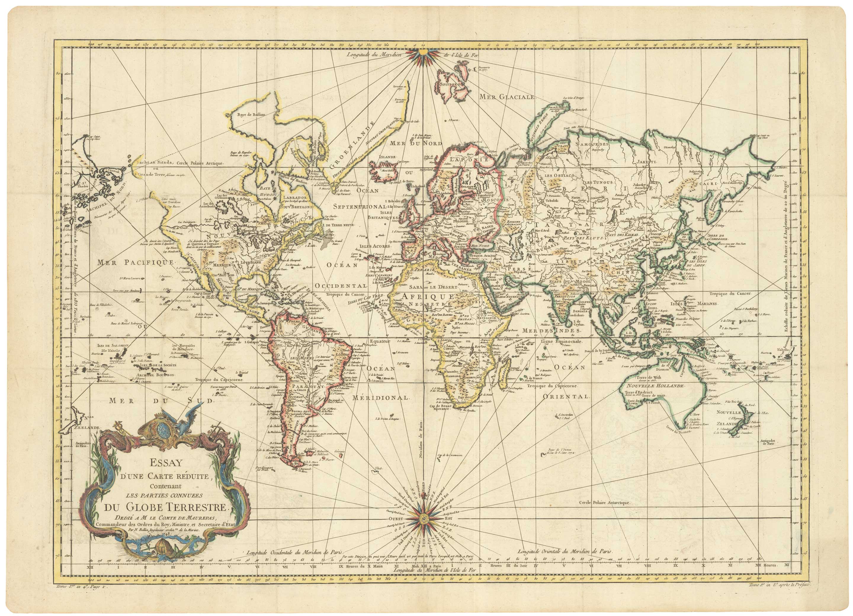
A large sea chart of the World on Mercator's Projection
BELLIN, Jacques-Nicolas. Date: 1775 Stock #: 25116 £1,600.00
Add to Wishlist
Add to Wishlist
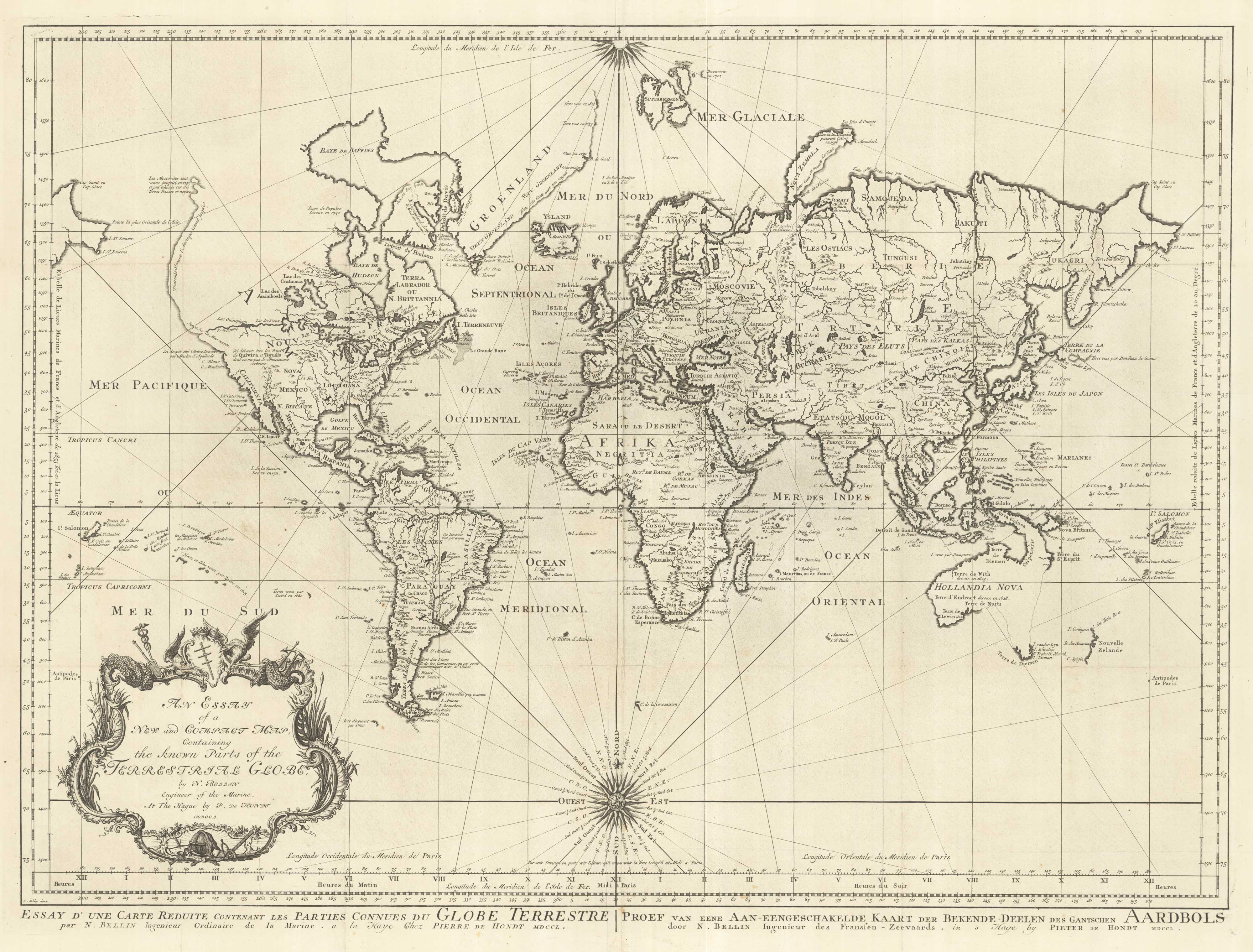
18th century nautical chart on Mercator's Projection
BELLIN, Jacques-Nicolas. Date: 1750 Stock #: 25151 £1,600.00
Add to Wishlist
Add to Wishlist
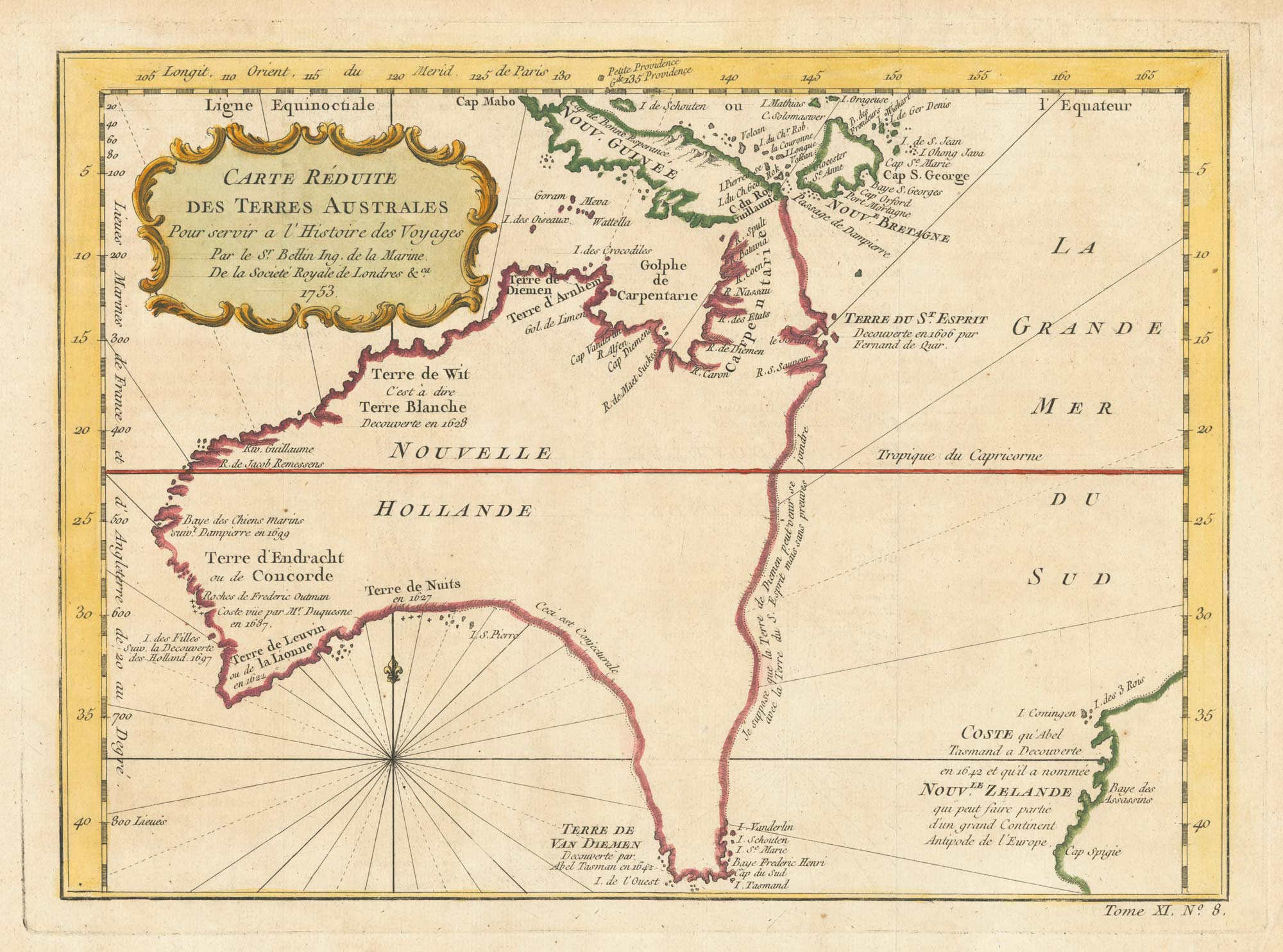
A pre-Cook discoveries map of Australia
BELLIN, Jacques-Nicolas. Date: 1753 Stock #: 25052 £1,000.00
Add to Wishlist
Add to Wishlist
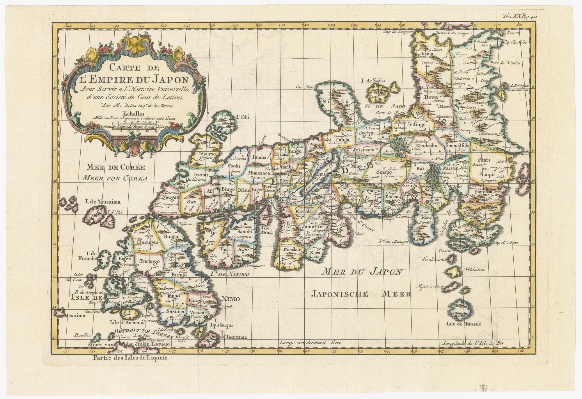
18th century map of Japan
BELLIN, Jacques-Nicolas. Date: 1752 Stock #: 24729 £320.00
Add to Wishlist
Add to Wishlist