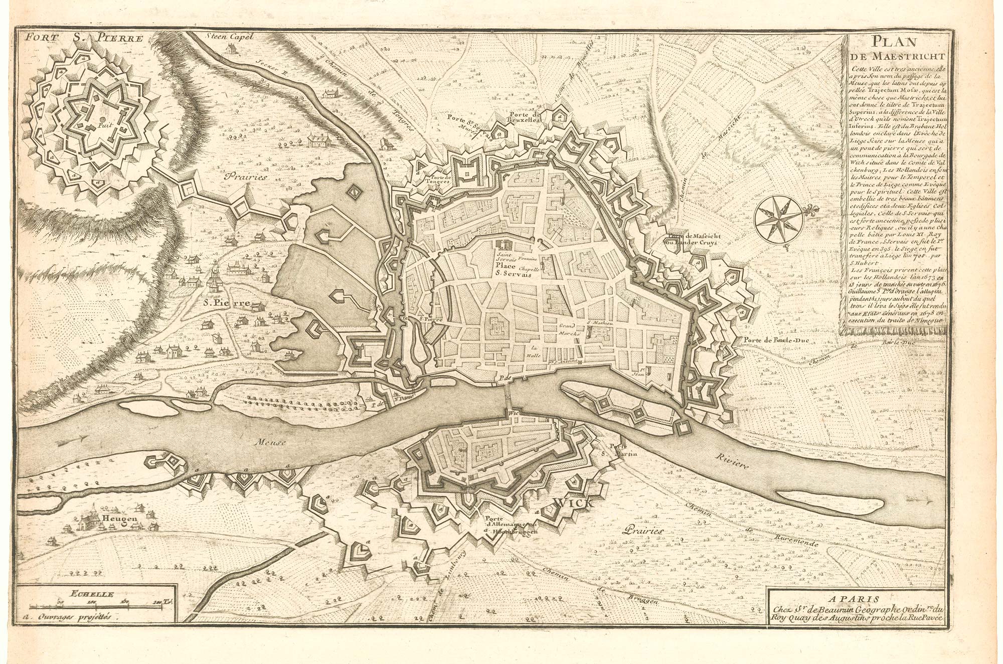


A scarce plan of the defences of Maastricht
Plan de Maestricht.
Paris, c.1760. 240 x 370mm.
£480.00
1 in stock
x
Question About This Item?
A scarce plan of the defences of Maastricht & BEAURAIN, Jean de.Stock #: 20557
Add to Wishlist
Export as PDFEnquireSimilar to Sell?Add to Wishlist
Description
A detailed plan of the defences of Maastricht by Jean de Beaurain (1696-1771), geographer to Louis XV. Engraved by Charles Inselin and first published in 1740, the map was originally designed to illustrate a history of the campaigns of Louis XIV; this example has been updated to be more contemporary, with the 18th century Fort St Pieter top left.
Condition:
Trimmed to printed border on left.Related products
-
A 16th century miniature map of Overijssel
LANGENES, Barent. Date: 1599Stock #: 21165 £55.00 -
A rare wall map of the Netherlands
LE ROUGE, Georges-Louis. Date: 1790Stock #: 23570 £3,600.00 -
An early 17th century plan of Leeuwarden
FEDDES, Pieter. Date: 1622Stock #: 22688 £1,000.00 -
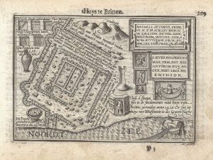
A 16th century miniature plan of a Roman fort
LANGENES, Barent. Date: 1599Stock #: 21306 £290.00 -
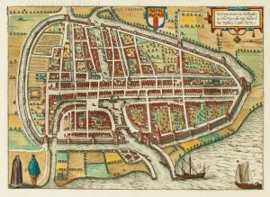
16th century town plan of Rotterdam
BRAUN, Georg & HOGENBERG, Frans. Date: 1588Stock #: 22691 £650.00 -
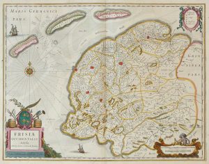
Friesland
JANSSON, Jan. Date: 1666Stock #: 8433 £250.00 -
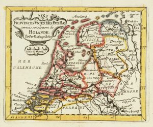
Miniature map of Holland
DU VAL, Pierre. Date: 1682Stock #: 10859 £140.00 -
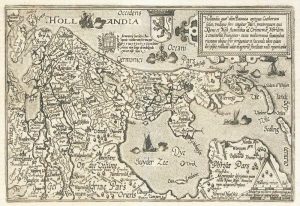
Holland
QUAD, Matthias. Date: 1600Stock #: 9094 £400.00 -

A decorative 18th century map of the Netherlands and East Indies
SEUTTER, Matthaus. Date: 1730Stock #: 20406 £500.00
Items by the same author
Add to Wishlist
Add to Wishlist
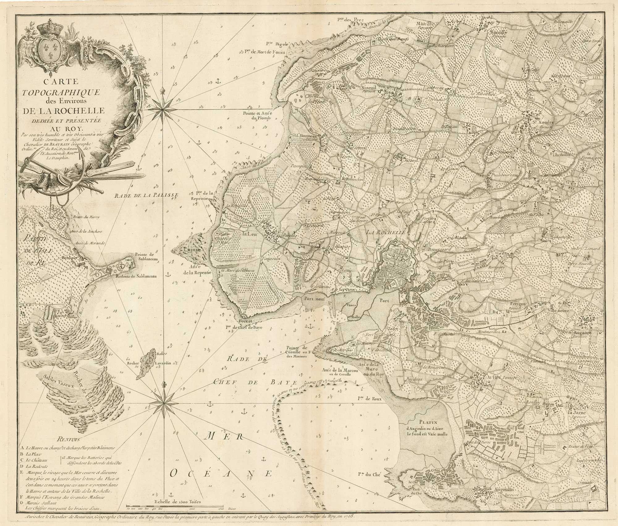
18th century separate-issue plan of La Rochelle
BEAURAIN, Jean de. Date: 1749 Stock #: 19576 £700.00
Add to Wishlist
Add to Wishlist