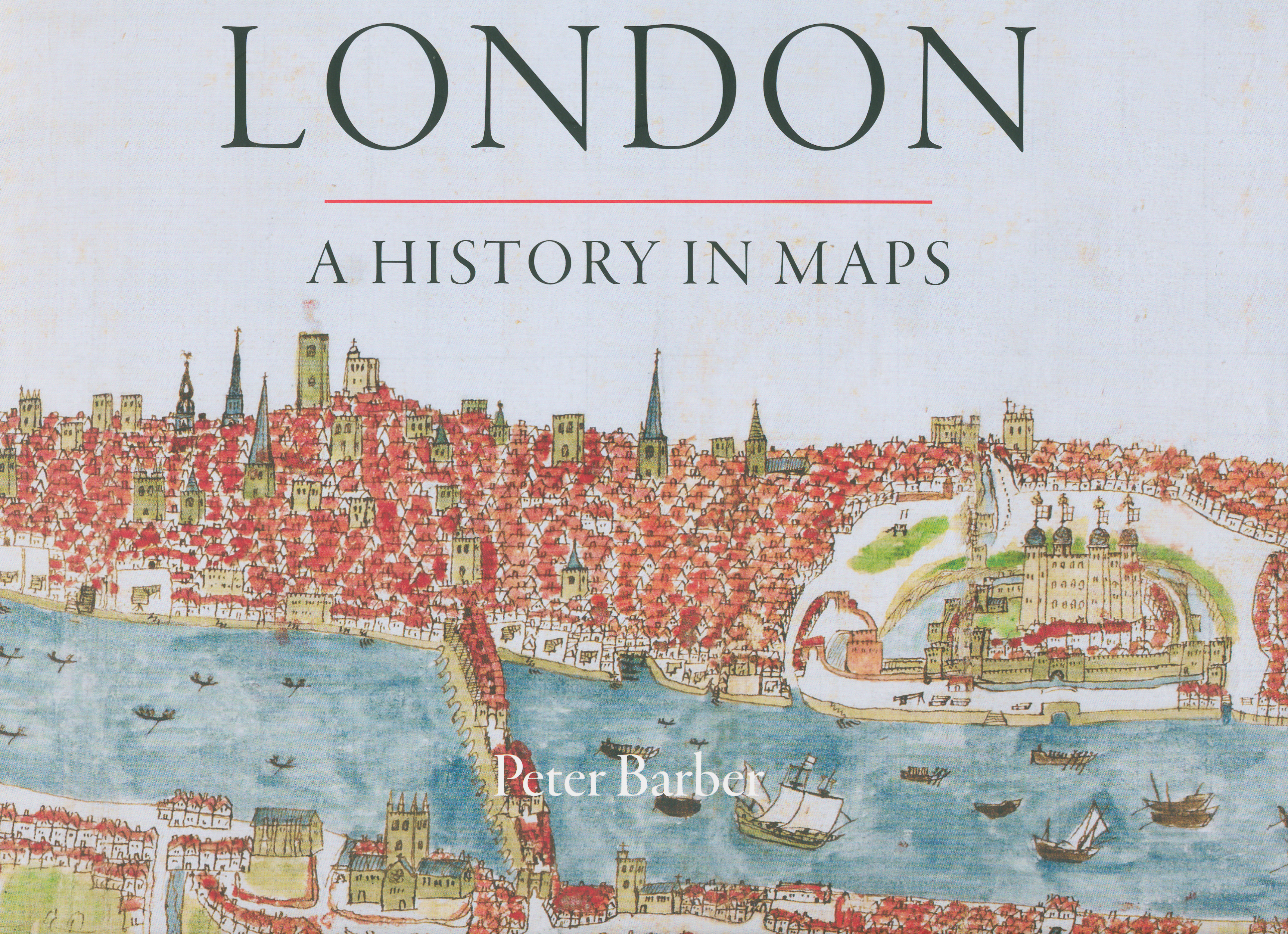


A readable study of London maps
London: A History in Maps.
London: London Topographical Society in association with the British Library, 2012. Oblong 4to, cloth & illus. d/w, pp. viii + 380, profusely illustrated.
£45.00
Description
A fascinating look at the history of London through maps and views, both prints and manuscript. The author has been head of Maps and Topographical Views at the British Library since 2001.
Condition:
New.Related products
-
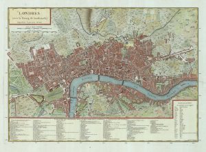
A French edition of Rocque’s map of London
TARDIEU, Pierre François. Date: 1765Stock #: 22729 £800.00 -
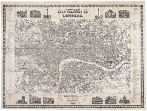
A rare French tourist map of London for the Great Exhibition of 1851
GARNIER FRERES. Date: 1851Stock #: 20779 £1,200.00 -
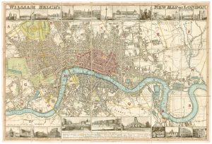
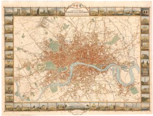
Town plan of Georgian London with illustrated borders
LANGLEY & BELCH. Date: 1812Stock #: 23445 £2,800.00 -

A map of London during the Interregum
NEWCOURT, Richard. Date: 1878Stock #: 25458 £6,850.00 -

An 18th century two-sheet plan of London
FOSTER, George. Date: 1778Stock #: 18487 £3,800.00 -
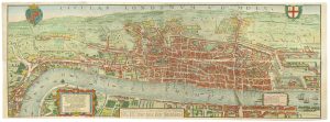
The so-called ‘Agas’ plan of Elizabethan London on eight sheets
AGAS, Ralph. Date: 1737Stock #: 25408 £13,500.00 -
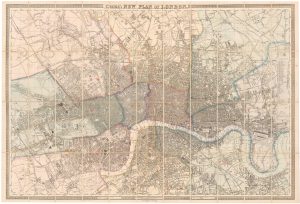
Large scale map of London in 1861
CROSS, Joseph. Date: 1787Stock #: 22409 £2,000.00 -
London during the Great Exhibition of 1851
TALLIS, John. Date: 1851Stock #: 25662 £2,400.00 -
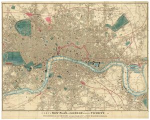
Detailed map of London during the Great Exhibition of 1851
CARY, John. Date: 1851Stock #: 24101 £1,500.00