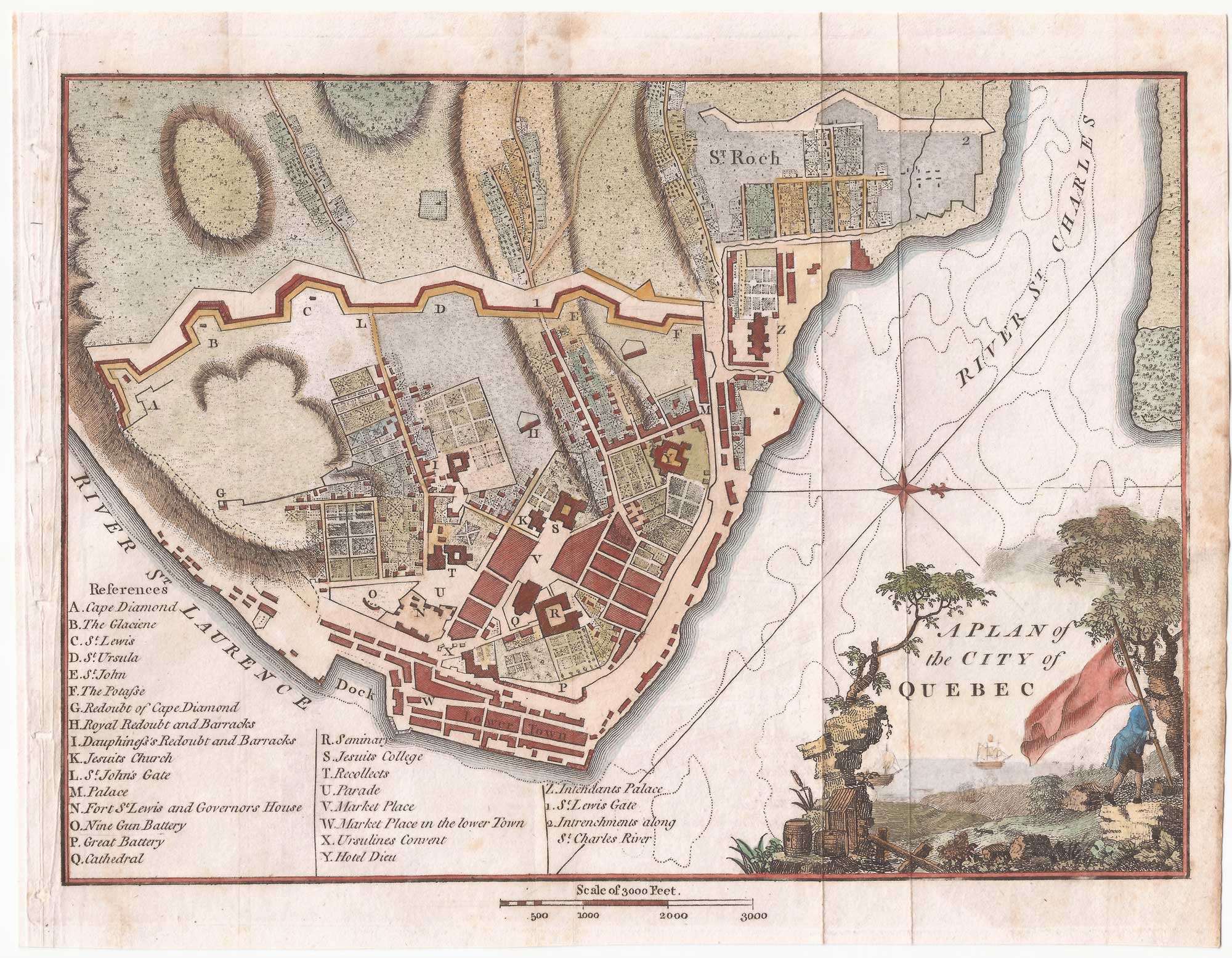


A detailed plan of Quebec
A Plan of the City of Quebec.
London, 1798. Image size 70 x 120mm.
£160.00
Description
A plan of the city of Québec with a 27-point key, published in Isaac Weld's 'Travels through the States of North America'.
Condition:
A good example.Related products
-
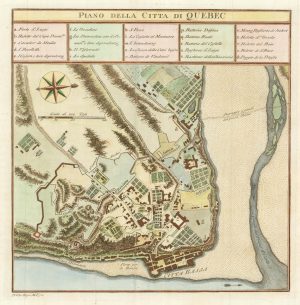
An 18th century Italian plan of Quebec
GAZZETTIERE AMERICANO. Date: 1763Stock #: 22467 £250.00 -
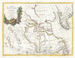
18th century map of Hudson Bay
ZATTA, Antonio. Date: 1778Stock #: 19023 £220.00 -
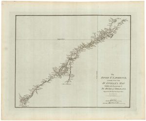
A detailed 18th century plan of the St Lawrence River
HARRISON, John. Date: 1784Stock #: 22812 £420.00 -
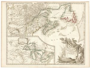
Sanson’s map of Canada with an early depiction of the Great Lakes
SANSON, Nicolas. Date: 1662Stock #: 23067 £4,750.00 -
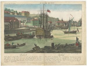
An 18th century ‘vue d’optique’ of Quebec
LEIZELT, Balthasar Frederick. Date: 1775Stock #: 24523 £750.00 -
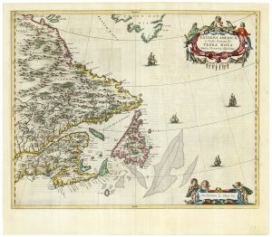
A scarce 17th century map of Newfoundland and Nova Scotia
BLAEU, Johannes. Date: 1662Stock #: 22716 £1,500.00 -
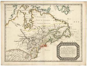
A late 18th century map of Canada and the Great Lakes
ROBERT DE VAUGONDY, Didier. Date: 1793Stock #: 23279 £550.00 -
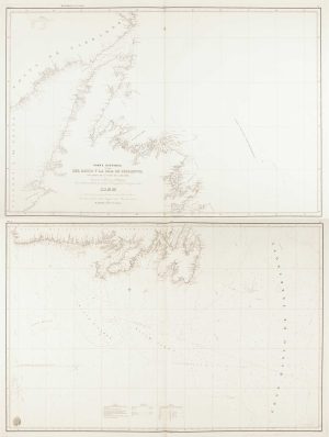
A scarce Spanish chart of Newfoundland
MORENO, Miguel. Date: 1860Stock #: 11852 £1,200.00 -

A 17th century prospect of Quebec
MALLET, Alain Manesson. Date: 1683Stock #: 24710 £220.00
Items by the same author
Add to Wishlist
Add to Wishlist

A late-18th century plan of Berlin
ANDREWS, John. Date: 1800 Stock #: 24513 £260.00
Add to Wishlist
Add to Wishlist

A late-18th century plan of Cologne
ANDREWS, John. Date: 1800 Stock #: 22601 £140.00
Add to Wishlist
Add to Wishlist

A late-18th century plan of Munich
ANDREWS, John. Date: 1800 Stock #: 22659 £170.00
Add to Wishlist
Add to Wishlist

A late-18th century plan of Genoa during the Ligurian Republic
ANDREWS, John. Date: 1800 Stock #: 22598 £150.00
Add to Wishlist
Add to Wishlist
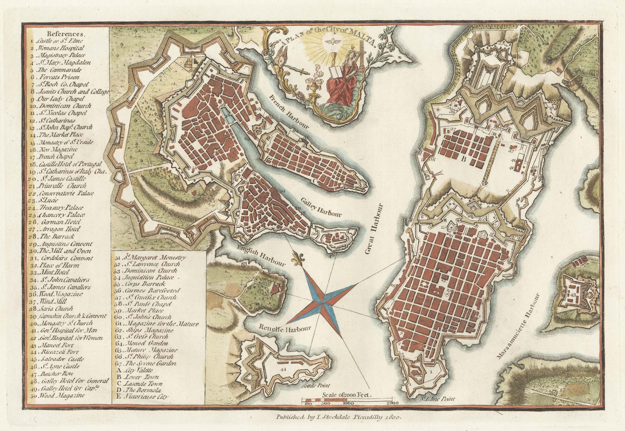
A late-18th century plan of Valletta
ANDREWS, John. Date: 1800 Stock #: 22602 £280.00
Add to Wishlist
Add to Wishlist
