


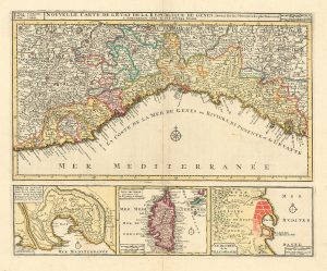
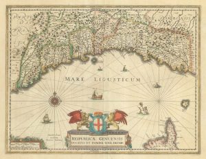
A mid-18th century Italian map of Liguria
Carta Geografica del Governo Della Liguria o sia dello Stato della Republica di Genova.
Venice, 1750. Coloured. 330 x 405mm.
£400.00
1 in stock
x
Question About This Item?
A mid-18th century Italian map of Liguria & ALBRIZZI, Giovanni Battista.Stock #: 23610
Add to Wishlist
Export as PDFEnquireSimilar to Sell?Add to Wishlist
Description
A Venetian map of Liguria, decorated with a title cartouche featuring Minerva, as a personification of Genoa, crowned with laurels by Mercury, with a putto holding a measure and Neptune riding a chariot drawn by two hippocamps in the background.
Condition:
A good example.References:
NORDENSKIÖLD 64 (22)Related products
-
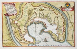
A rare large format plan and prospect of San Remo
CANTU, Alessandro. Date: 1628Stock #: 18376 £2,200.00 -
Town plan of Genoa in the early 18th century
FER, Nicolas de. Date: 1705Stock #: 20708 £170.00 -
An 18th century map of the Republic of Genoa
OTTENS, Reinier & Joshua. Date: 1730Stock #: 24821 £600.00 -
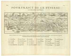
A 16th century prospect of Genoa “La Superba”
BELLEFOREST, François de. Date: 1575Stock #: 25352 £500.00 -
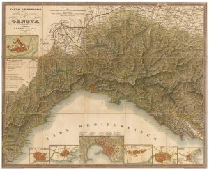
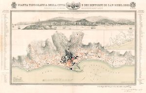
Detailed map of Genoa & Liguria
MAGGI, Gia. Battista. Date: 1853Stock #: 21204 £680.00 -
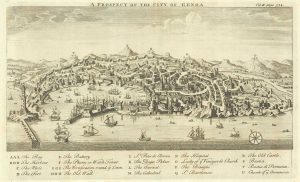
18th century English prospect of Genoa
HARRIS, John. Date: 1746Stock #: 19750 £350.00 -
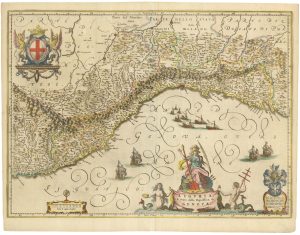
A 17th century old map of Liguria
BLAEU, Willem Janszoon. Date: 1640Stock #: 23612 £700.00 -
A 17th century map of Liguria in original colour
JANSSON, Jan. Date: 1638Stock #: 23246 £650.00 -
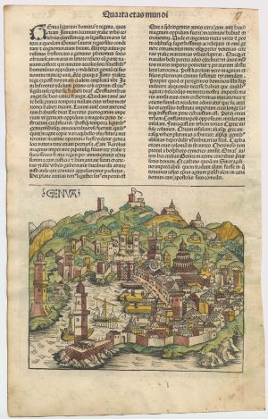
An incunable prospect of Genoa in rare contemporary colour
SCHEDEL, D. Hartmann. Date: 1493Stock #: 23035 £950.00
Items by the same author
Add to Wishlist
Add to Wishlist

18th century map of Europe
ALBRIZZI, Giovanni Battista. Date: 1740 Stock #: 23165 £280.00
Add to Wishlist
Add to Wishlist

A mid-18th century Italian world map with allegorical figures of the continents
ALBRIZZI, Giovanni Battista. Date: 1742 Stock #: 22318 £1,250.00
Add to Wishlist
Add to Wishlist
