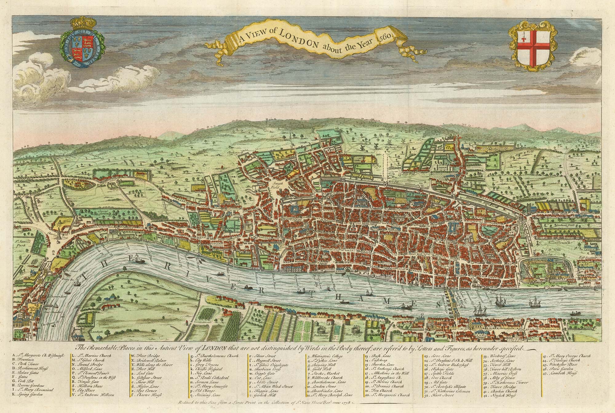


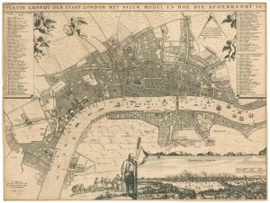
A map of Elizabethan London
A View of London about the Year 1560.
London, 1738. Coloured. 310 x 475mm.
£780.00
Description
A reduced version of one of the first plans of London, incorrectly attributed to Agas. The style is much the same as Braun & Hogenberg, with the buildings shown in profile. St Paul's Cathedral is in the centre of the map, London Bridge has buildings on it, and The Globe and the Bull-Baiting Ring can be seen on the south bank of the river.
Published as the frontispiece to Maitland's 'History of London'.
Condition:
A good example.References:
HOWGEGO 8 (b).Related products
-
The first published volume of Booth’s ‘Labour and Life’ in London
BOOTH, Charles. Date: 1889Stock #: 21934 £3,500.00 -
A history of London through maps
WHITFIELD, Peter. Date: 2006Stock #: 12441 £20.00 -
A two-sheet map of 18th century London
SMITH, Joseph. Date: 1795Stock #: 23337 £2,200.00 -

An 18th century two-sheet plan of London
FOSTER, George. Date: 1778Stock #: 18487 £3,800.00 -

A map of London during the Interregum
NEWCOURT, Richard. Date: 1878Stock #: 25458 £6,850.00 -
A rare broadsheet map of the Great Fire of London of 1666
DE WIT, Frederick. Date: 1666Stock #: 24892 £7,500.00 -
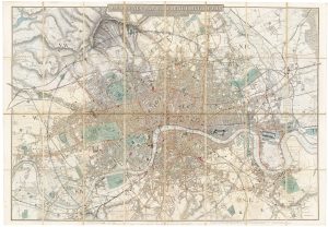
A fine 19th century wall map of London
WYLD, James. Date: 1875Stock #: 23579 £4,800.00 -
A scarce plan of London celebrating the Dutch Accession
DE RAM, Johannes. Date: 1690Stock #: 24617 £9,500.00 -
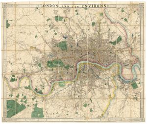
Map of the environs of London in fine colour
DAVIES, Benjamin Rees. Date: 1860Stock #: 22252 £1,300.00
Items by the same author
Add to Wishlist
Add to Wishlist

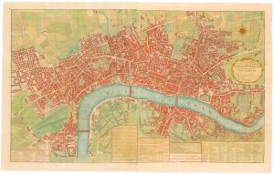
The so-called 'Agas' plan of Elizabethan London on eight sheets
AGAS, Ralph. Date: 1737 Stock #: 25408 £13,500.00
Add to Wishlist
Add to Wishlist
