

18th century sea chart of the Mediterranean
A Correct Chart of the Mediterranean Sea, from the Straits of Gibraltar to the Levant From the latest and best Observations.
London: T. Osbourne, c.1746. Coloured. 350 x 710mm.
£650.00
1 in stock
x
Question About This Item?
18th century sea chart of the Mediterranean & SEALE, Richard William.Stock #: 24897
Add to Wishlist
Export as PDFEnquireSimilar to Sell?Add to Wishlist
Description
A sea-chart of the Mediterranean with an inset plan of 'Leghorn' (Livorno) in Italy. It is remarkable for the number of coastal towns named.
It was engraved by Seale for Nicolas Tindal's 'Continuation of Mr. Rapin's History of England'. Paul de Rapin's original work had ended with the death of James II in 1701; the three new volumes reached the reign of George II.
Condition:
A good example.Related products
-
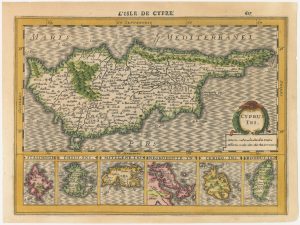
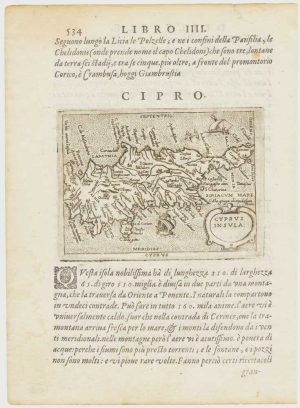
The first issue of a scarce 17th century miniature map of Cyprus
CLOPPENBURG, Johannes. Date: 1630Stock #: 23014 £720.00 -
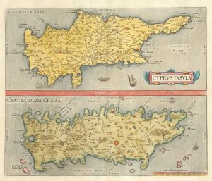
16th century map with Cyprus & Crete
ORTELIUS, Abraham. Date: 1698Stock #: 24407 £900.00 -
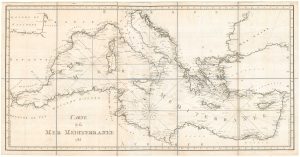
A detailed 18th century chart of the Mediterranean Sea
DUPUIS, Louis André. Date: 1785Stock #: 18383 £1,200.00 -
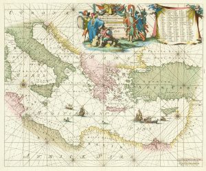
A 17th century chart of the eastern Mediterranean in fine colour.
DE WIT, Frederick. Date: 1745Stock #: 24490 £1,600.00 -

An 18th century three-sheet sea chart of the Mediterrean Sea
DHEULLAND, Guillaume. Date: 1737Stock #: 23353 £1,600.00 -
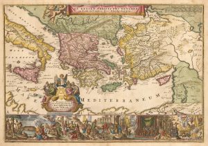
Early 18th century bible map of the Eastern Mediterranean
LINDENBERG, I. Date: 1636Stock #: 23099 £480.00 -
A pirated edition of the Ortelius Epitome map of Cyprus
ORTELIUS, Abraham. Date: 1598Stock #: 18828 £450.00 -
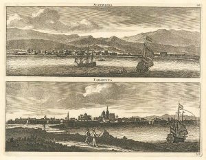
Prospects of Famagusta and Iskenderun in the 17th century
BRUYN, Cornelis de. Date: 1714Stock #: 24827 £290.00 -
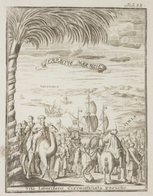
Frontispiece from ‘Peregrinus in Jerusalem’
MYLLER, Angelicus Maria. Date: 1735Stock #: 17187 £160.00
Items by the same author
Add to Wishlist
Add to Wishlist