Antique Maps by SEUTTER, Matthaus.

Showing 61–63 of 63 products
Sort by:
Add to Wishlist
Add to Wishlist
Map showing Holland's maritime empire and Dutch territory in the East Indies

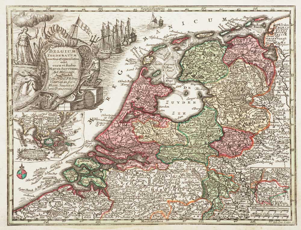
Holland with an Inset of its colonies in the East Indies

SEUTTER, Matthaus. Date: 1744 Stock #: 11407 £280.00
Add to Wishlist
Add to Wishlist
Illustration of a detailed map showing the Baltic coast of Poland, Kaliningrad, and part of Lithuania with historical significance

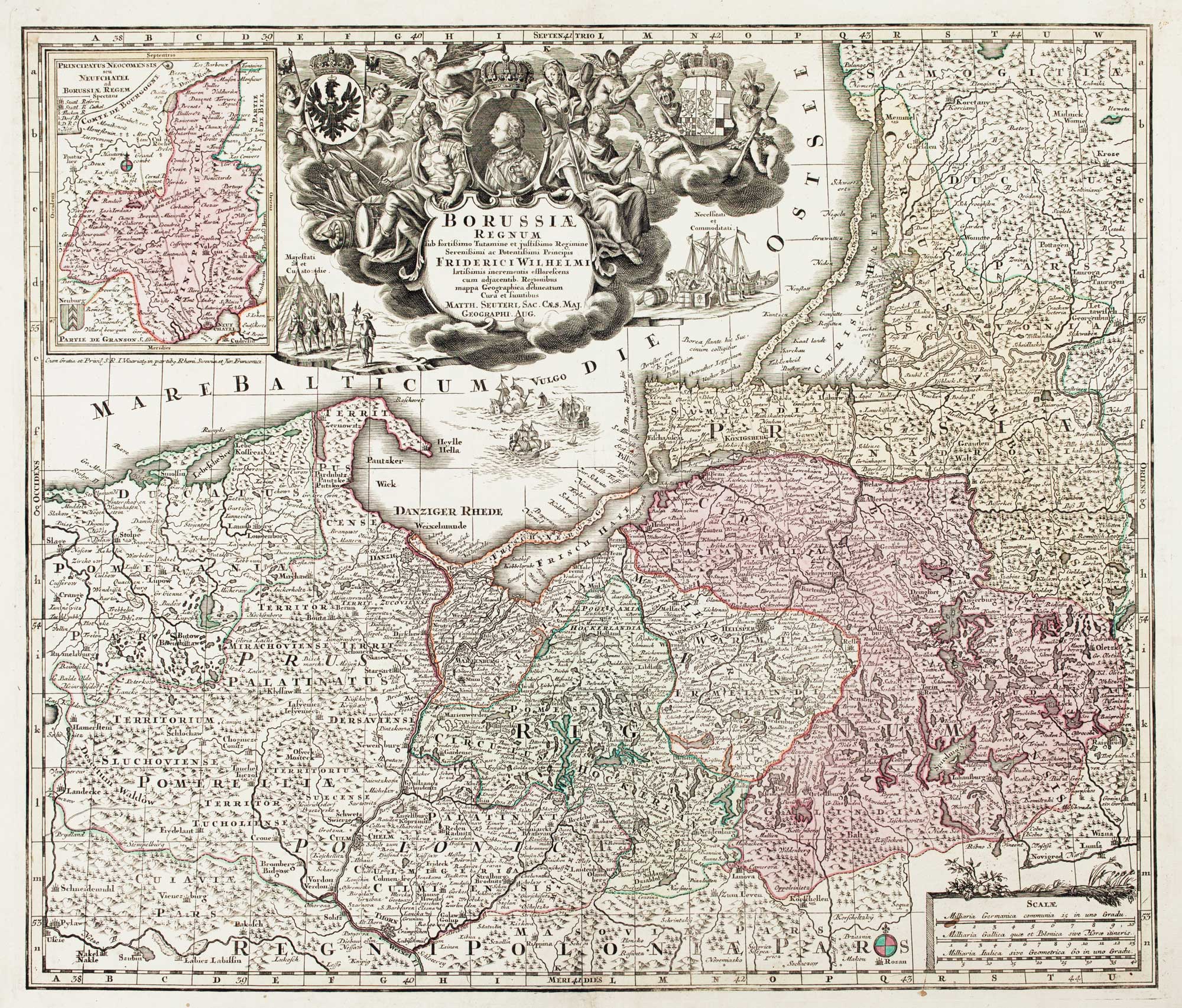
Detailed map of Prussia

SEUTTER, Matthaus. Date: 1730 Stock #: 10985 £390.00
Add to Wishlist
Add to Wishlist
Detailed 18th-century map of Sardinia with allegorical and engraved cartouches

Large and detailed 18th century map of Sardinia

SEUTTER, Matthaus. Date: 1730 Stock #: 9318 £750.00