Antique Maps by ROBERT DE VAUGONDY, Didier.
Showing 1–5 of 5 products
Sort by:
Add to Wishlist
Add to Wishlist
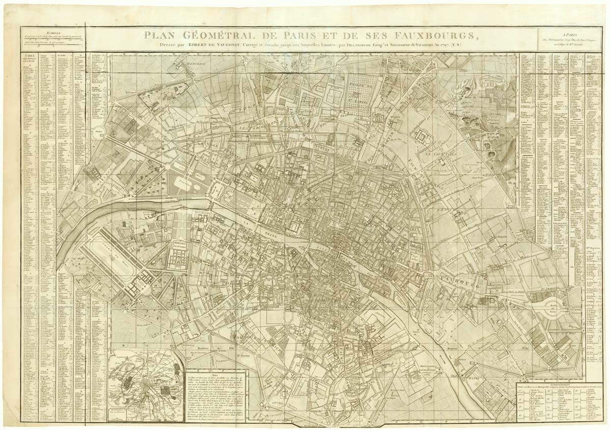
A large plan of Paris during the Rise of Napoleon
ROBERT DE VAUGONDY, Didier. Date: 1797 Stock #: 20620 £1,000.00
Add to Wishlist
Add to Wishlist
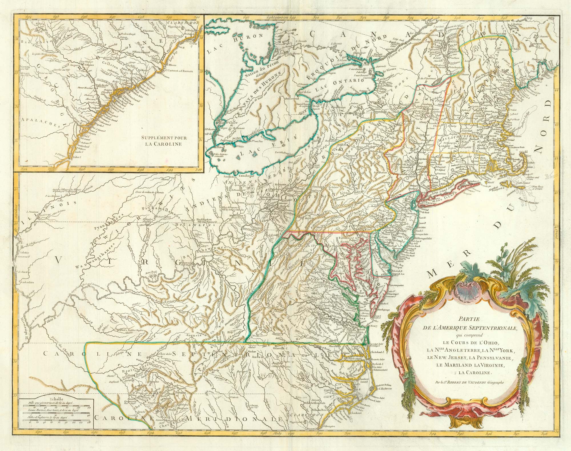
18th century map of the Eastern Seaboard
ROBERT DE VAUGONDY, Didier. Date: 1770 Stock #: 24555 £750.00
Add to Wishlist
Add to Wishlist
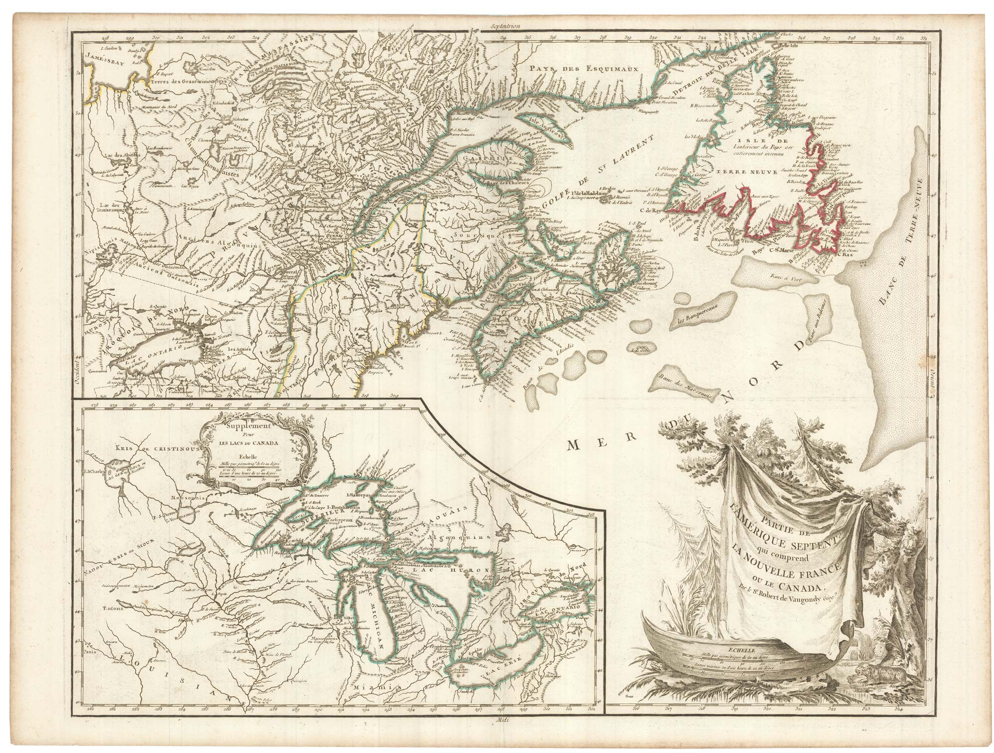
A late 18th century map of Canada and the Great Lakes
ROBERT DE VAUGONDY, Didier. Date: 1793 Stock #: 23279 £550.00
Add to Wishlist
Add to Wishlist
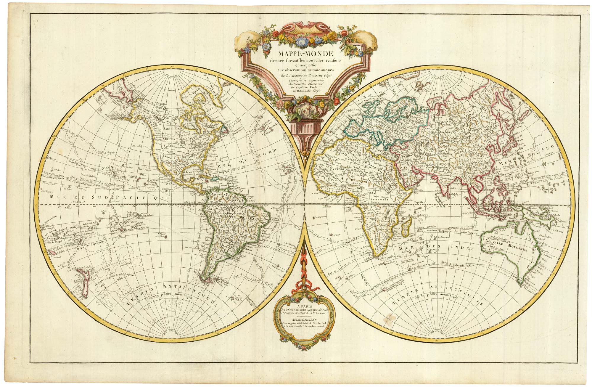
An important world map, updated to include Cook's three voyages
ROBERT DE VAUGONDY, Didier. Date: 1792 Stock #: 23209 £1,600.00
Add to Wishlist
Add to Wishlist