Antique Maps by BREGANTE, S.
Showing 1–3 of 3 products
Sort by:
Add to Wishlist
Add to Wishlist
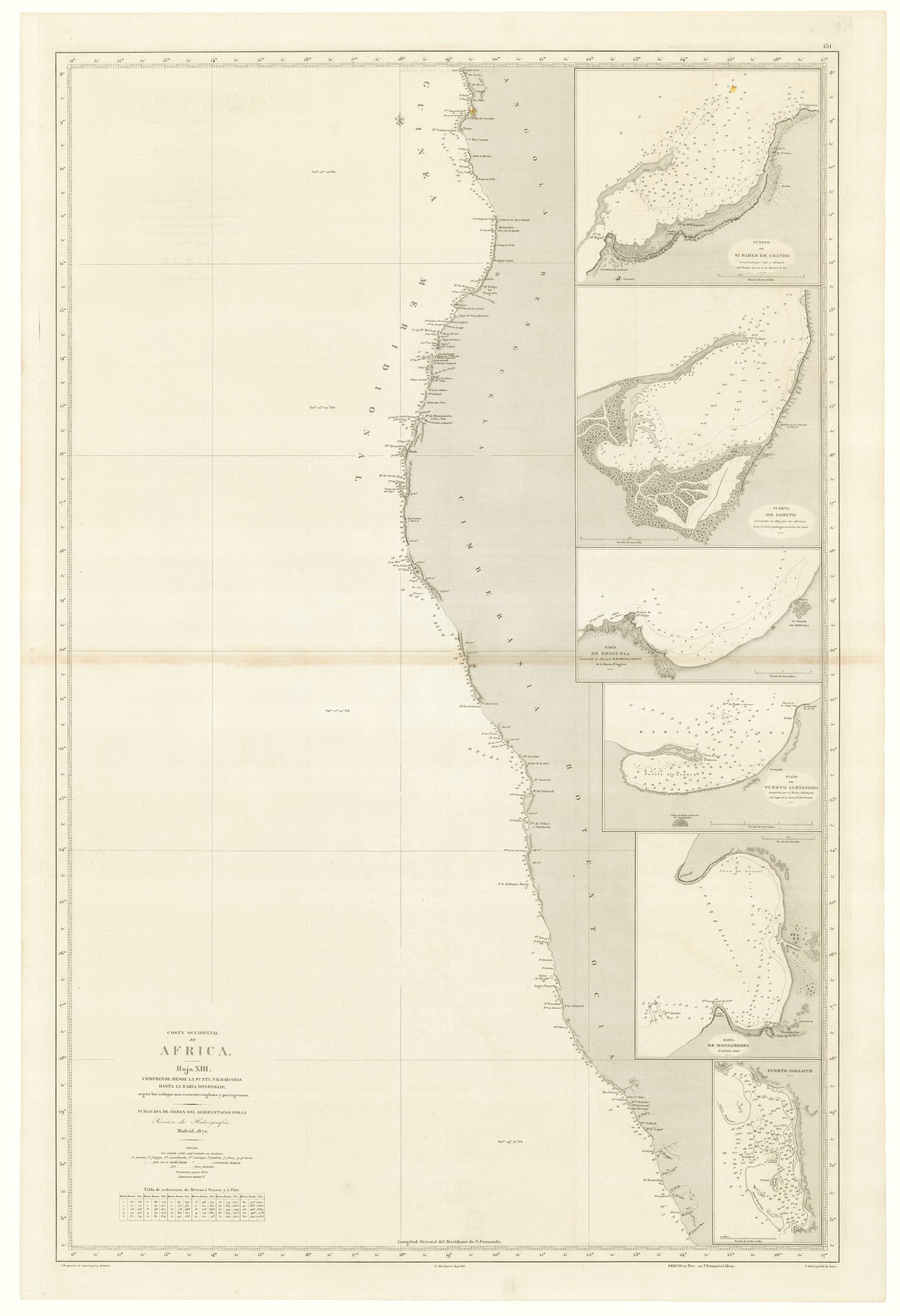
An uncommon Spanish sea chart of Gabon, the Congo and Angola
BREGANTE, S. Date: 1870 Stock #: 18238 £700.00
Add to Wishlist
Add to Wishlist
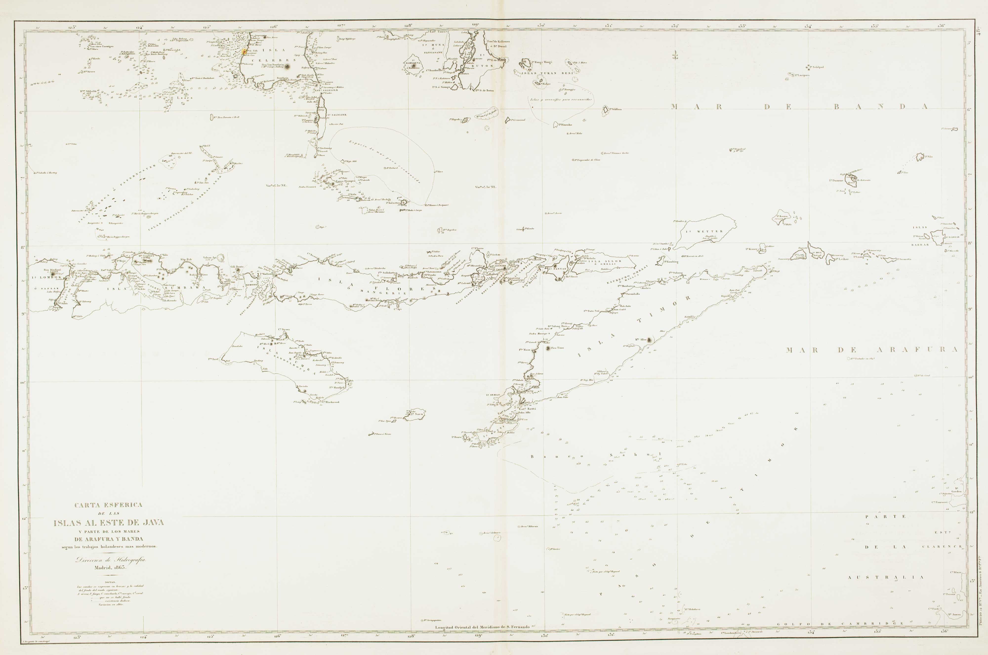
Sea chart of the Indonesian provinces of West & East Nusa Tenggara, with East Timor
BREGANTE, S. Date: 1863 Stock #: 12458 £500.00
Add to Wishlist
Add to Wishlist